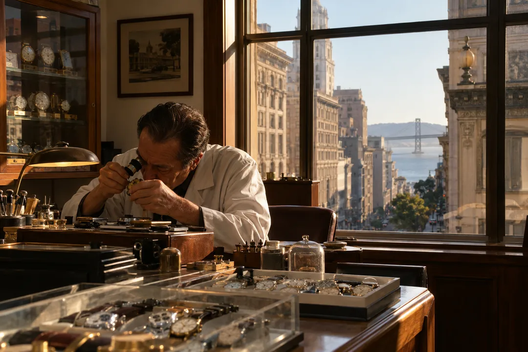
 Setrak's Watch Repair Shop: Union Square Hours, Tue to Fri
Hidden Gems & Odd Finds
Why Most People Miss the Best Parts of San Francisco's Noe Valley on Foot
The hill everyone climbs isn't the problem—it's where you stop that determines whether you see the neighborhood or just pass through it.
The usual mistake happens at the top of the 24th Street climb, right where the commercial strip ends and the gradient finally eases. People see the last shopfront, check their step count, and reverse course back toward the Castro or the Mission. They've done the hill. They've bought the pastry. But they've stopped exactly where the neighborhood's actual texture begins—the part that isn't performing for foot traffic, the part that shows you what people who live here actually look at every morning.
Karpo texts you a live route that adapts to Muni delays, wind speed, and which cafés are still serving. If fog rolls in or your timing shifts, it rebuilds the plan while you're walking.
Most People Turn Around One Block Too Early
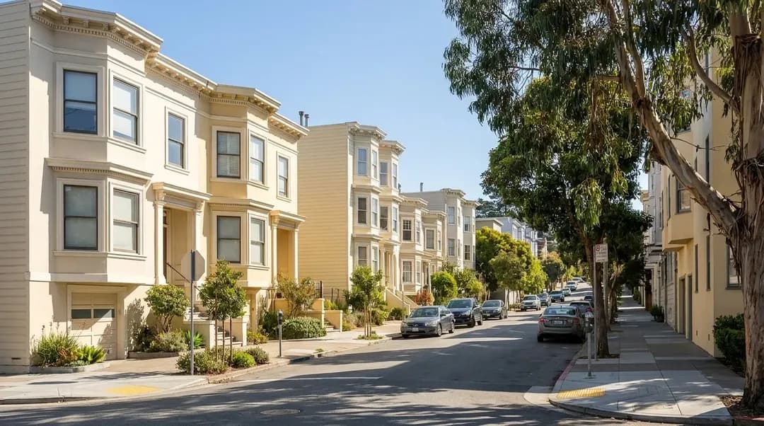
Noe Valley rewards the extra two blocks. Past the café zone, the streets open into a grid of Edwardian bay windows and front gardens that aren't trying to be picturesque but end up that way because the light here is different—less fog than the Sunset, less wind than the northern slopes, and a midday clarity that makes even the stucco glow. The people you pass are walking dogs, carrying groceries, moving at a pace that suggests they're not on their way to somewhere better. This is the somewhere.
The error isn't about effort. Noe Valley's hills are manageable compared to the brutality of Russian Hill or the false summit torture of Potrero. The mistake is treating the neighborhood as a single climb with a commercial payoff at the top, when in fact the grid extends in three directions from that intersection, and each one offers a different kind of quiet. If you're here because you want to see how people actually arrange a life in San Francisco—not tourists, not tech buses, just people—you need to walk past the point where the guidebook would tell you to stop.
A Loop That Holds Up Even When Plans Collapse
Start at the 24th Street Mission BART plaza. Take the 48 Muni bus uphill toward the Castro, but get off at Sanchez and 24th—this saves your knees for the parts worth walking. Head south on Sanchez, past the pocket park at Elizabeth Street, where the benches face west and catch the last good light before the fog pours over Twin Peaks. Keep going to 27th, then turn east toward Church Street. This stretch is residential, quiet, and the sidewalks are wide enough that you're not dodging strollers or delivery vans.
At Church, turn north and walk back toward the commercial blocks. You'll pass the branch library, a small one, but it has a community board that often lists evening events if you're trying to fill time before dinner. By the time you're back at 24th and Church, you've traced a rough rectangle that people who live here walk constantly—errands, dog routes, the path to school pickup. It's not scenic in the postcard sense, but it's legible. You understand the neighborhood's bones.
The beauty of this loop is that it's modular. If the wind picks up or your energy drops, you can bail east on 24th back to the Mission. If the cafés are too crowded or closed early, you've already seen the good part. If Muni is running late or BART is stopped for track work, you can walk the whole thing and catch a rideshare from Church Street without backtracking. The route doesn't depend on a single venue being open or a specific view being clear. It's infrastructure, not itinerary.
One more thing: the northwest corner of Noe Valley, where it bleeds into the Castro, gets loud after nine PM on weekends. If you're walking late, stay south of 23rd or head east toward Valencia. The people you'll encounter on the residential blocks are neighbors coming home, not crowds looking for the next bar.
This Route Is Not for Everyone Who Visits
If you're in San Francisco for forty-eight hours and you want to check boxes—Golden Gate Bridge, Alcatraz, a sea lion photo—Noe Valley will feel like a waste of time. There's no landmark here. There's no famous filming location, no historic plaque that justifies the detour. The neighborhood's appeal is atmospheric, not monumental, and atmosphere doesn't photograph well enough to prove you were somewhere.
This walk also doesn't work if you need flat ground. The 48 bus does the hardest climb for you, but the residential loop still includes grades that will remind you this city was built on sand dunes and bedrock with no regard for human joints. People with mobility limits should check the Muni map and plan a route that stays on the commercial corridors, where the sidewalks are level and there are places to sit.
Finally, this isn't a nightlife plan. Noe Valley goes quiet after dinner. The cafés close by seven or eight, the wine bar might stay open later but it's small and fills fast, and there's no reason to be here after ten unless you live here. If you're looking for the part of San Francisco that keeps moving past midnight, stay in the Mission or SOMA. Noe Valley is where people go when they're done with that.
What You Should Verify Before You Go
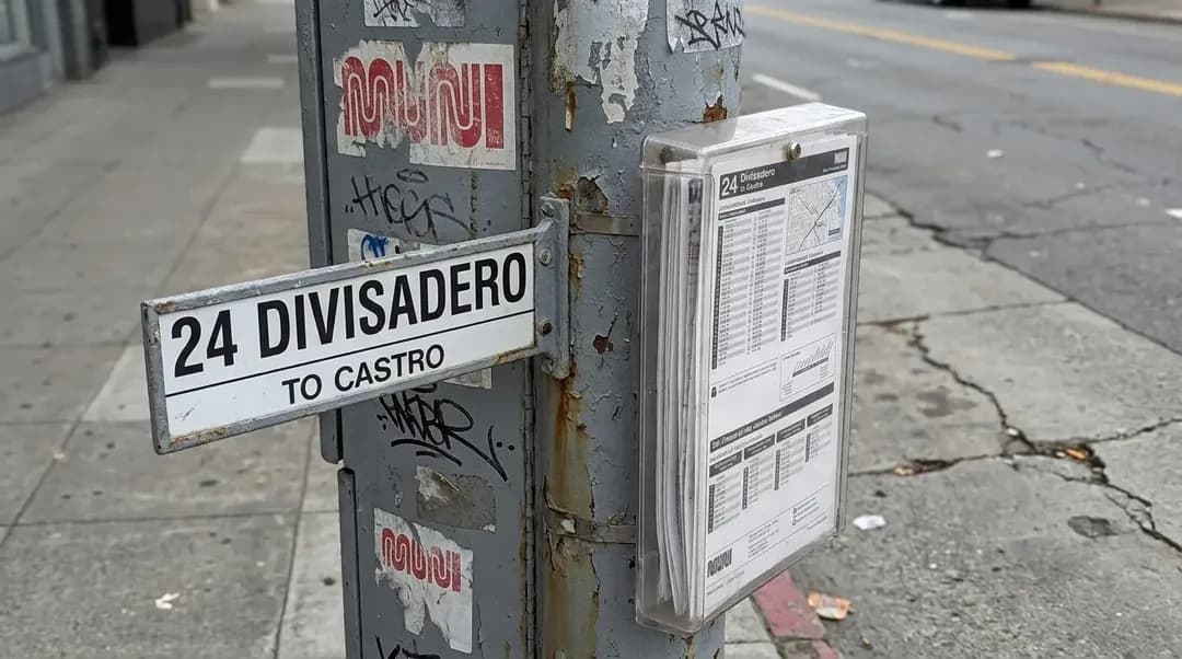
Check the 48 Muni schedule before you leave. The bus runs frequently during the day, but evening service thins out, and if you're coming back downhill on foot after dark, the sidewalks on some blocks don't have great lighting. Confirm the current route on the SFMTA site, because construction and track work occasionally force reroutes that aren't well-posted at the stops.
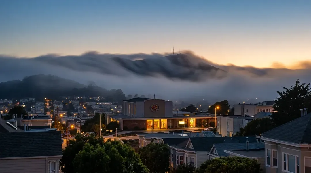
Weather in Noe Valley can split from the rest of the city by late afternoon. While the Mission bakes and the Richmond freezes under fog, Noe Valley often holds a pocket of clear air until early evening. But once the fog does come over Twin Peaks, it comes fast and cold. Bring a layer even if it's sunny when you start. The wind on the residential blocks is mild compared to the Embarcadero, but the temperature can drop fifteen degrees in twenty minutes.
If you're planning to stop for food, confirm hours the day of your walk. Several longtime cafés and bakeries in Noe Valley close earlier than their posted times if they sell out, and there's no guarantee of a backup within easy walking distance. The commercial blocks between Church and Castro have the most options, but they're also the most crowded between noon and two PM on weekends.
Finally, if you're relying on rideshare to get home, test your signal before you're ready to leave. Some residential blocks in Noe Valley have spotty cell service, especially near the base of the hills where the houses are dense and the trees are tall. Walk back to Church Street or 24th Street before you call the car.
Practical notes
- Take the 48 Muni from 24th Street Mission BART; check current schedule for evening service.
- Residential loop is 1.5 miles with moderate hills; the 48 bus handles the steepest climb.
- Bring a layer; fog rolls in fast over Twin Peaks even when the Mission is warm.
- Cafés and bakeries often close by 7 PM or earlier if sold out; confirm hours day-of.
- Cell signal can be weak on residential blocks; move to Church or 24th Street to call rideshare.
- Neighborhood quiets after 9 PM; plan to finish the walk by early evening.
Tags: #karpo #sanfrancisco #noevalley #sfneighborhoods #walkingsf #sfmuni #peopleofsf #localsf #sfhills #theoddeditsf #residentialsf #sfwalks #explorenoevalley #24thstreet #muniroutes
All trademarks are the property of their respective owners.
Ask Karpo first
Text Karpo before you start to check which cafés in Noe Valley are open now and whether Muni delays are affecting the 48 line. It'll route you around crowded blocks and give you a live backup if the bus isn't running on time. Ask for a walking plan that adapts to current fog and wind conditions.
Ask Karpo for more information.
Keep reading
- Setrak's Watch Repair Shop: Union Square Hours, Tue to Fri
 Vintage Watch Repair Shop Off Union Square: Gears & Jewels
 See's Candies Halloween Candy Shop: Market Street Gifts