A Canal Built for Coal, Now Used for Everything Else
The Regent’s Canal was authorised by Parliament in 1812 and opened on 1 August 1820, after delays caused by construction problems, disagreements with landowners, and the embezzlement conviction of its original promoter, Thomas Homer. The total bill came to £772,000 — roughly twice the original estimate, and around £60 million in today’s money. The canal was designed by John Nash, who also built Regent’s Park, and named after the Prince Regent at his own request.
At its peak, the canal carried coal, grain, building materials, and general freight from the docks at Limehouse through central London to Paddington. Narrow gauge horse-drawn boats worked the towpath continuously. By the mid-twentieth century, commercial traffic had collapsed. The towpath fell into disuse. Then, slowly, it was reclaimed — first by walkers, then by cyclists, then by the cafes and converted warehouses that now line both banks at intervals from King’s Cross through to Hackney.
Granary Square to the Tunnel: The First Half
The walk starts at Granary Square — the redeveloped King’s Cross basin, with its 1,000-jet dancing fountain and the converted Victorian grain warehouse (now Central Saint Martins). On the canal itself, look for Word on the Water: a 1920s Dutch barge converted into an independent bookshop, moored on the north bank, open seven days a week. Browse the books on the top deck before you start walking — it is a good reason to arrive a few minutes early.
From Granary Square, the towpath runs east past Camley Street Natural Park, a two-acre nature reserve created from a disused coal yard in 1984. On the opposite bank, herons are a reliable sighting in the morning. Continuing east, you pass under Caledonian Road — the canal briefly darkens and the sound of traffic above cuts out — and the path narrows slightly before opening again into the stretch approaching Angel.
Here the walk diverges from the canal itself. The Islington Tunnel, opened in 1820, runs for 960 yards (878 metres) under the borough with no towpath inside — the original horse-drawn boats required the bargemen to “leg” the vessels through by lying on their sides and pushing against the tunnel walls with their feet while the horses walked above. Walkers today follow waymarkers set into the pavement: up Duncan Street, along Islington High Street, past Angel station, through Chapel Market, down Penton Street, rejoining the towpath at Muriel Street. The above-ground route takes about fifteen minutes.

Haggerston to Acton’s Lock: The Second Half
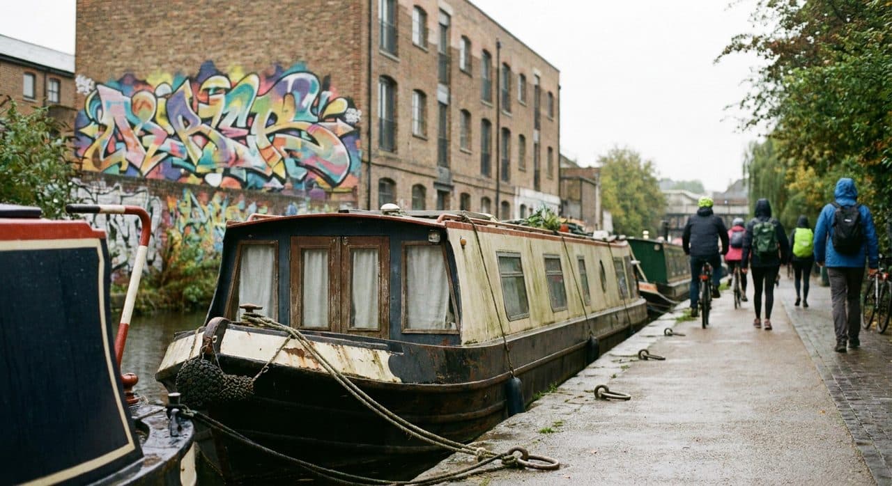
East of the tunnel the canal changes character. Kingsland Basin, past Haggerston, is where the street art begins: warehouse walls painted floor-to-roof, some of it commissioned, some of it not, most of it changed in the past year. The basin itself is used by residential narrowboats, many of them occupied year-round, with bikes locked to the roof, pots of herbs on the tow-side ledge, and the particular kind of quiet that belongs to someone who has decided where they live.
Continuing past Whitmore Road Bridge and the Haggerston Overground station entrance, the towpath runs through a section lined with plane trees. In October, the leaves are still half-attached and the light through them onto the canal surface is the best argument for timing this walk to the afternoon rather than the morning. By 4:30pm in autumn, the angle is exactly right.
Arriving at Broadway Market at the Right Time
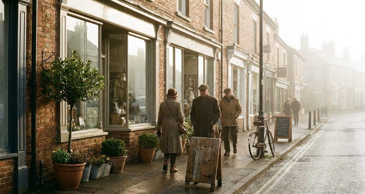
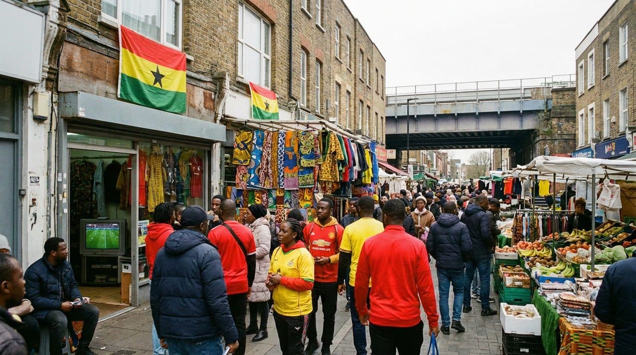
Acton’s Lock marks the exit point for Broadway Market. Come off the towpath here, turn north, and you are on Regent’s Row, which runs into Broadway Market itself — a street of Victorian shopfronts that on Saturdays holds a market selling sourdough, raw-milk cheese, and Taiwanese street food, and on weekdays holds a sequence of cafes and wine bars that stay open until eight or nine.
Arriving at blue hour means the shopfront lights are on, the pavement is damp enough to reflect them, and the last of the sky is still visible above the rooftops. London Fields is a five-minute walk north. The Overground at London Fields station is a ten-minute walk.

What the Walk Actually Is
The Regent’s Canal towpath is not a dramatic landscape. It has no views. It does not go anywhere particularly important. What it has is water at eye level, and proximity to water at eye level has a specific effect on the way you process a walk — the canal keeps the route from becoming purely a transit corridor. You notice things. The narrowboat with the woodsmoke smell and the wet laundry. The heron that does not move when you pass. The bracket of light under a bridge that exists for about forty seconds at 4:20pm in October before the angle shifts.
The tube is faster. It is also just a tunnel.
Practical notes
- Start: Granary Square, King’s Cross — exit King’s Cross/St Pancras towards King’s Boulevard, walk north to Goods Way, turn right to the canal towpath
- End: Acton’s Lock, exit to Broadway Market and London Fields
- Distance: approximately 4.5 km (2.8 miles) one-way; 1 hour 15 min at an easy pace
- Best departure time: 3:30–4pm in October–November for blue-hour arrival at Broadway Market
- Getting there: King’s Cross/St Pancras (Victoria, Piccadilly, Metropolitan, Hammersmith & City, Northern, Circle lines + mainline rail)
- Getting back: London Fields Overground (10 minutes walk); or Haggerston Overground mid-route
- The Islington diversion: Follow towpath waymarkers over the tunnel via Duncan Street, Islington High Street, Chapel Market, Penton Street, Muriel Street — adds about 15 minutes
- Word on the Water: Dutch-barge bookshop at Granary Square, open daily, free to browse the top deck
- Walking solo: The King’s Cross and Granary Square section is well-lit and busy until late. The stretch between Whitmore Road Bridge and Acton’s Lock is quieter and less lit after dark — exit at Haggerston Overground (2 minutes from the canal at Whitmore Road Bridge) if completing after 6pm in winter.
The point
The Regent’s Canal was built as a freight route, to move coal from the docks to the yards to the north of London. Nobody designed it for walking. The towpath existed to give the horses somewhere to go. Now the horses are gone, the freight is gone, the coal is gone, and what remains is a path alongside water through the middle of one of the densest cities on earth. You take it because it is there, and because blue hour on the canal is one of the better things London offers for free.
Tags: #regentscanal #londonwalk #bluehour #kingscross #broadwaymarket #hackney #londonfields #canalwalk #haggerston #kingslandbasin #londonblack #thelongwayhomekarpo #karpofinds #autumnlondon #towpathwalk
Sources consulted: wikipedia.org/Regent's_Canal · wikipedia.org/Islington_Tunnel · kingscross.co.uk · londonmuseum.org.uk
All trademarks are the property of their respective owners.