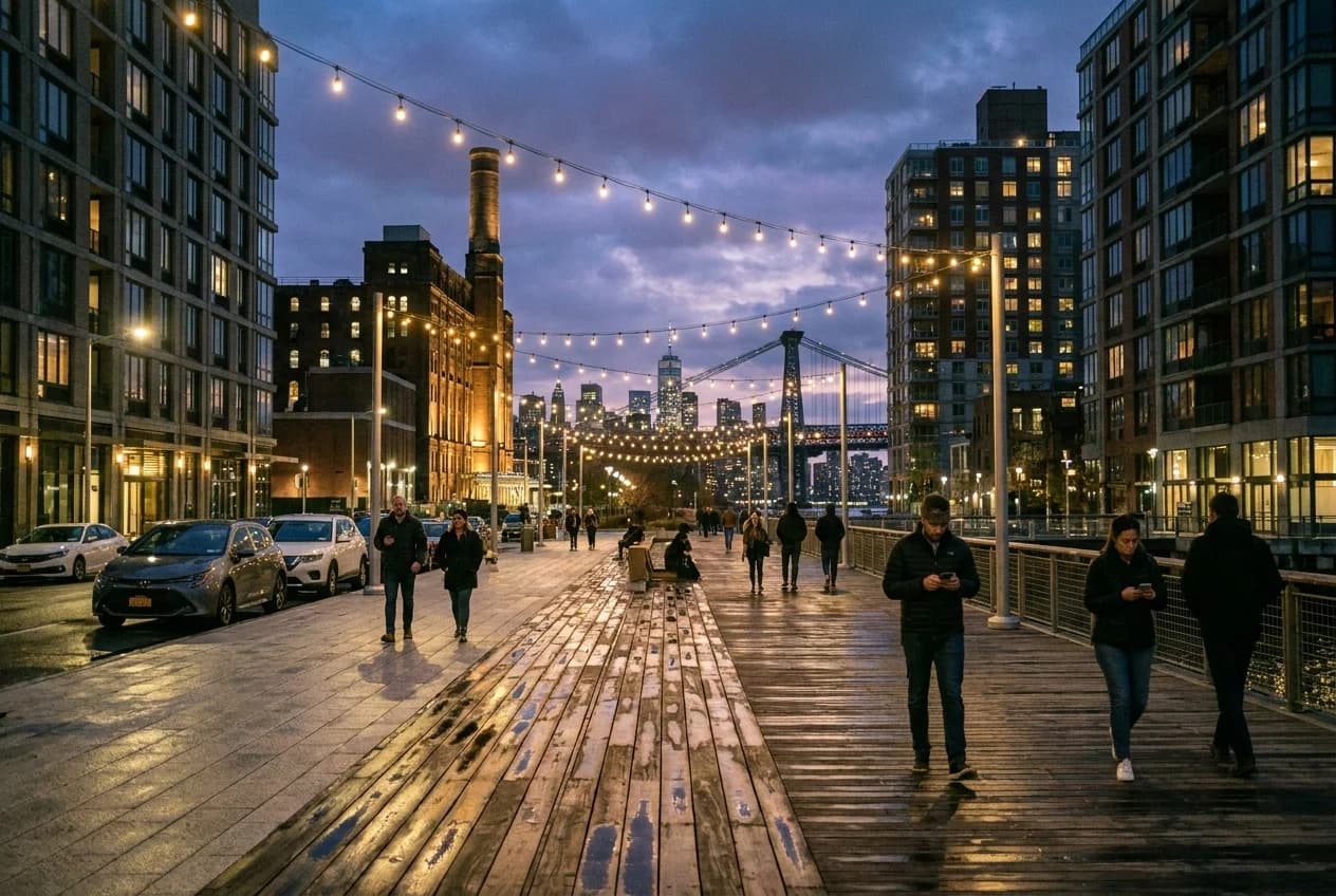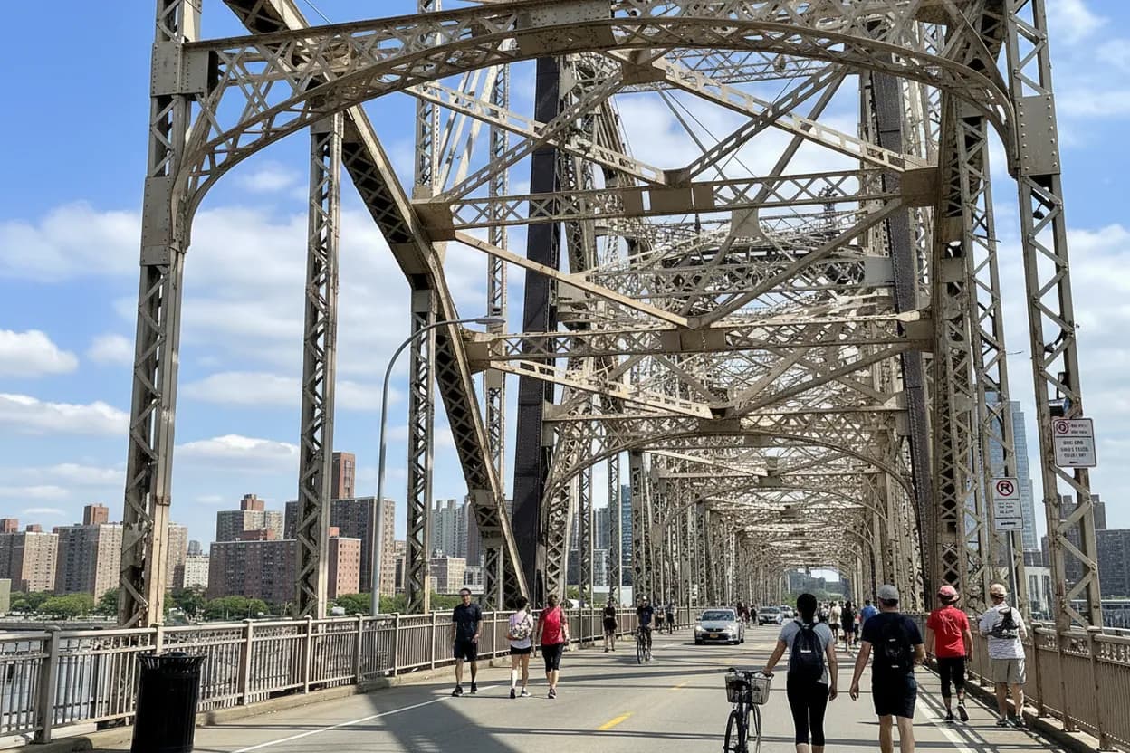
The Queensboro Bridge south outer roadway is no longer just a transportation footnote. NYC DOT now lists it as the pedestrian walkway, with the north outer roadway serving as the bicycle path, which changes the basic math for anyone who wants an East River skyline walk without buying a ferry ticket or committing to a destination restaurant. This is still a working bridge, not a polished promenade. The reward is a wide, high, city-scale view over Roosevelt Island and Long Island City; the cost is traffic noise, grade, wind, and entrance friction. Treat it as a route test, not a stroll you can sleepwalk through.
Want a free NYC walking route with skyline payoff and fewer surprises? Text Karpo before you leave and ask for the current Queensboro Bridge walkway check.
Start the Queensboro Bridge Walk From Manhattan Only If the Approach Is Worth It
The Manhattan start makes the most sense if you are already near Midtown East, the East 60s, or the Lexington Avenue subway spine. The bridge approach puts you close to East 60th Street and First Avenue, so the first decision is whether you want a direct climb into the view or a softer pre-walk warmup through Sutton Place Park, which NYC Parks places along the East River between East 56th and East 57th Streets.
Choose Manhattan first when the goal is skyline reveal, not dinner logistics. You climb out of Midtown noise, pass into the bridge structure, and let Long Island City open slowly ahead. The downside is psychological: the approach can feel more infrastructural than scenic, and tired companions may judge the walk before it earns its view. If the first ten minutes already feel too loud or exposed, turn it into a short out-and-back instead of forcing Queens.
Use the South Outer Roadway as a Pedestrian Test, Not a Bike-Lane Shortcut
NYC DOT’s bridge page says the lower level has two outer roadways: the south outer roadway serves pedestrians, while the north outer roadway is the bicycle path. That distinction matters because older guides, habits, and map pins may still point people toward the former shared setup. If signage on the street feels unclear, the practical rule is simple: do not drift into the bike path to save a minute or chase a familiar entrance.
The south outer roadway is the point of this walk because it removes the worst part of the old experience: walkers and fast riders sharing a narrow bridge lane. That does not make the route calm. You are still beside a major bridge with vehicle lanes, metal structure, crosswinds, and occasional construction narrowing. Walk predictably, keep photo stops tight to the side, and assume anyone moving faster than you may need more room than the path appears to offer.

Time the 59th Street Bridge for Clear, Breezy Early Evening Weather
This route is best in clear, breezy, or cooler early evening conditions, when the light catches the river and the heat stored in pavement has started to drop. It is not a smart comfort bet during heavy rain, poor air quality, icy conditions, or high wind. The bridge is exposed, and the same elevation that delivers the skyline also magnifies weather that would feel manageable on a neighborhood sidewalk.
Sunset timing is a tradeoff, not an automatic win. The views improve as the day softens, but visibility, crowding, and wayfinding all become less forgiving after dark. If you are walking solo, pick a time when you can finish with daylight left on the Queens side. If the weather forecast changes or the bridge looks wet and gusty from the street, switch to Sutton Place Park or a short East River look instead.
Measure the Queensboro Grade Before You Promise a Casual Stroll
DOT lists the bridge’s total length as 3,725 feet, or 7,449 feet including approaches, and that length does not read like a flat waterfront path. The walk asks for a real climb, then a sustained descent, with noise and vibration layered over the effort. For active friends, runners, and solo walkers who want movement, that friction can be the appeal. For a slow catch-up walk, it may become the whole conversation.
Call the difficulty moderate because the challenge is cumulative rather than technical. There are no museum-style pauses, benches, or soft edges once you commit to the bridge span. A strong walker can treat it as a compact workout with a view; someone managing knee, hip, balance, or respiratory issues should be more cautious. If accessibility is central to the outing, verify entrance conditions directly and consider a flatter waterfront alternative before leaving.
Let Roosevelt Island and Long Island City Do the Skyline Work
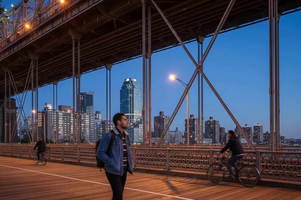
The route’s strongest visual moment is not one single overlook. It is the repeated reveal: Roosevelt Island below, the tram nearby, Queens rising ahead, and Manhattan turning into a wall behind you. Because the south outer roadway is a bridge path rather than a viewing deck, the best pacing is steady walking with short pauses. Do not build the plan around a long photo session in one spot.
This is a good fit for someone who needs movement and payoff more than amenities. It is less good for visitors expecting quiet romance, stroller ease, or a polished waterfront sequence. The bridge gives honest city infrastructure: steel, traffic, grade, wind, and big views. That makes it feel more New York than many paid viewpoints, but it also means the experience can fail if your companion wanted comfort more than perspective.
Exit Into Long Island City With a Food Plan, Not a Fantasy Reservation
The Queens finish works best when you treat Long Island City as the decompression zone. After the descent, aim for Queens Plaza, Court Square, or the Vernon Boulevard side depending on energy and transit needs. Do not invent a perfect post-walk meal in the moment while everyone is sweaty, windblown, and hungry. Pick two realistic exits before starting: one fast subway exit, one sit-down or snack option you will verify the same day.
This article cannot responsibly lock in restaurant hours, menus, or prices for July 22, 2026 without checking the specific business you choose. That verification should be part of the plan, not an afterthought. If the first food stop is closed, too crowded, or private-event blocked, keep moving toward the next transit-rich node. The bridge walk is free; the failure mode is spending the saved money on a rushed backup nobody wanted.
Check NYC DOT Advisories Before Treating the Walkway as Guaranteed
As of the July 18 to July 24, 2026 NYC DOT weekly advisory, Queensboro Bridge lower roadway work could narrow the north outer bikeway and south outer walkway by up to fifty feet during listed overnight windows, while DOT said the walkway and bike path would remain available with caution. That is usable information, but it is also time-sensitive. Check the advisory again on the day you go.
The final decision is a quick three-part test. First, confirm DOT still shows the south outer roadway as the pedestrian walkway and scan current traffic advisories. Second, check weather for wind, rain, heat, and visibility near the East River. Third, verify your Queens exit, whether that means subway service, a park pause at Queensbridge Park, or a specific food stop. If any one fails, shorten the route or postpone.
Tags: #QueensboroBridge #SouthOuterRoadway #LongIslandCity #NYCWalks #FreeNYC #SkylineWalk #WeekendPlans #MidtownEast #QueensPlaza #RooseveltIslandViews #NYCTransit #AskKarpo #BeforeYouGo #KarpoNYC
Sources consulted: Source 1: nyc.gov · Source 2: nyc.gov · Source 3: nyc.gov · Source 4: php1-84.nycgovparks.org · Source 5: php1-84.nycgovparks.org
All trademarks are the property of their respective owners.
Ask Karpo first
Tell Karpo your date, group size, budget, and starting neighborhood. We’ll check current access, timing, transit, and the cleanest plan for Queensboro Bridge pedestrian path, Manhattan to Long Island City before you head out.