If the Google Trends phrase "pickaxe mountain iran" sent you from a subway scroll to satellite maps, start with what can be checked: the name generally refers to Kuh-e Kolang Gaz La, a mountain area near Iran’s Natanz nuclear complex, not a tourist landmark with a simple official visitor page. For NYC readers, the useful question is less dramatic than the headlines: which parts are verifiable from maps, nuclear-agency documents and reputable reporting, and which parts remain claims, assessments or unknowns. The short answer is that the location, its relationship to Natanz and the existence of reported construction can be cross-checked; alleged contents, military intentions and strike outcomes require much more caution.
Text Karpo if you want a calm source-check on a viral place name before you share it. Ask Karpo to compare a map claim, an official document and a news report side by side.
Why New Yorkers Are Seeing the Search Term Now
The phrase is circulating because recent reporting connected “Pickaxe Mountain” to renewed U.S.-Iran tension and to questions about underground construction near Natanz. Google Trends’ own documentation says trending queries represent recent surges in search interest and may group related searches around a newsworthy subject, so the trend is a signal of attention, not proof of any underlying claim. That distinction matters in NYC, where international news often moves quickly through group chats, diaspora communities, finance desks, campuses and late-night social feeds before readers have time to check primary sources.
A responsible reading starts by separating the place from the claims about the place. Associated Press reporting identifies the site as Kuh-e Kolang Gaz La, or “Pickaxe Mountain,” south of Natanz, and says the U.N. nuclear watchdog has not had access to the site. The AP also reports that former President Donald Trump made threats regarding the area. Those statements can be reported as statements and reporting; they should not be turned into confirmed facts about what is stored underground.
What the Name Appears to Mean on a Map
“Pickaxe Mountain” is an English rendering associated with Kuh-e Kolang Gaz La, also transliterated in different ways because Persian place names often appear in multiple Roman spellings. That is why searches may produce variations such as Kolang-Gaz La, Kuh-e Kolang Gaz La or Mount Kolang Gaz La. The National Geospatial-Intelligence Agency’s GeoNames Search is the kind of official gazetteer readers can use to test whether a geographic name is recognized and how it is categorized, although public search results may not always match news nicknames perfectly.
The most consistently reported geographic anchor is Natanz, a long-known nuclear complex in Isfahan Province, roughly south of Tehran. AP reports the Pickaxe Mountain project is next to Natanz and about 225 kilometers, or 140 miles, south of Iran’s capital. For a New York comparison, that distance is roughly in the range of a drive from Midtown Manhattan to the Washington, D.C., area, though the terrain, roads and security context are entirely different.
What Authoritative Nuclear Sources Can Confirm
The International Atomic Energy Agency is the primary international body to watch for safeguards language, access issues and nuclear-material verification. IAEA reports on Iran have documented enrichment-related facilities at Natanz, including the Fuel Enrichment Plant and Pilot Fuel Enrichment Plant, and they use precise terms for installed cascades, operating cascades and declared activities. That technical vocabulary is narrower than social-media language: an IAEA document may confirm a facility, an inspection status or a declared configuration without confirming every claim circulating online.
IAEA-linked event reporting from March 21, 2026, records Iran’s notification of attacks on the Natanz Nuclear Facility and says no increase in off-site radiation levels had been reported at that time. That is useful, but it does not answer every question about nearby underground construction. For Pickaxe Mountain specifically, AP states the IAEA has never gained access to the site. In verification terms, “not accessed” is not the same as “nothing is there” or “everything alleged is true”; it means public certainty is limited.
What Satellite-Image Analysts Have Reported
Satellite imagery is often the bridge between official silence and public understanding. The Institute for Science and International Security, a non-government research organization frequently cited on nuclear-proliferation issues, reported in February 2026 that high-resolution imagery showed ongoing work at tunnel entrances at Kolang-Gaz La Mountain. Its analysis described visible equipment and possible hardening activity, while also noting uncertainty about the facility’s plans and readiness. That is the right tone for readers to borrow: imagery can show surface change, not automatically prove internal purpose.
Commercial satellite photos can identify roads, portals, vehicles, grading, walls and disturbed earth. They are much weaker at proving what sits deep inside a mountain unless matched with documents, inspections, signals, procurement records or on-the-record official statements. When a post claims to know precise depth, inventory or operational status from a single image, treat it skeptically. A credible analyst usually explains what is visible, what is inferred and what remains unknown.
Claims to Handle Carefully
The claim that a site is “nuclear-linked” is not identical to a confirmed claim that it is actively enriching uranium, storing specific material or ready for use. AP reports that the site’s purpose remains unclear and that access has not been granted to the U.N. nuclear watchdog. ISIS analysts have discussed possible roles, including centrifuge assembly or other sensitive activities, but their wording includes uncertainty. In a publication-ready account, those are assessments and possibilities, not final determinations.
The same caution applies to military language. Public officials may threaten action; reporters may describe those threats; analysts may assess feasibility. None of that verifies that an attack has occurred, that it will occur on a stated timeline or that it would produce a particular result. For readers in New York who want to understand rather than amplify, the safest habit is to ask: Who is saying this, what evidence is offered, and is it a direct observation, an allegation or a prediction?
How to Verify Without Falling Into Map Rabbit Holes
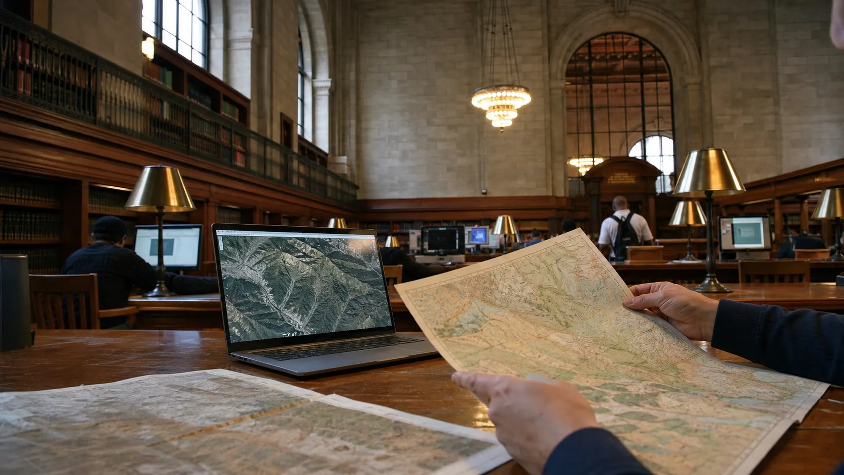
Start with a clean chain of sources. Use Google Trends only to understand why people are searching. Use an official gazetteer, such as NGA GeoNames, for place-name discipline. Use IAEA documents for safeguards and nuclear-status language. Use reputable wire reporting, such as AP or Reuters, for current developments and attributed statements. Then, if you look at satellite-image analysis, check whether the analyst names the image date, sensor provider, visible features and limits of inference.
Avoid relying on screenshots with no date, cropped satellite images without coordinates or posts that mix old Natanz imagery with current claims. Also remember that map labels can be user-influenced or inconsistent across platforms. A label appearing on a consumer map is a clue, not a certified fact about function. If you cannot trace a claim back to a document, an official statement or a transparent image analysis, write it as unverified or leave it out.
The NYC Angle: Why This Matters Locally
New York is not near Natanz, but it is connected to the story through media, diplomacy, markets, universities and communities with family ties across the Middle East. The United Nations is headquartered in Manhattan, and Iran nuclear issues often move through U.N.-linked language: Security Council resolutions, IAEA reporting, sanctions and diplomatic statements. That makes the story both global and local for readers who want to interpret headlines without turning every claim into a certainty.
For city readers, the practical value is news literacy. A trending phrase can look like a destination, a code name or a breaking-war update depending on who posts it. The verifiable core is smaller: a mountain area near Natanz, construction visible in reported imagery, limited international inspection access, and current public debate shaped by official statements and news reports. Staying inside that evidence protects readers from both panic and false confidence.
Practical notes
Practical notes: If you are checking this story from NYC today, July 22, 2026, save the exact claim before searching so you do not blur it into broader Iran coverage. Search the full phrase, then search the alternate name Kuh-e Kolang Gaz La and the anchor term Natanz. Prefer dated sources, and compare the publication date with the event date being discussed. Treat Google Trends as an attention tool, not an evidence tool. Treat satellite imagery as visual evidence of surface activity, not automatic proof of what is underground. Do not share alleged coordinates, strike predictions or weapons claims unless they are already responsibly reported by credible outlets and clearly attributed.
Tags: #PickaxeMountain #Iran #Natanz #NYCNews #Verification #Maps #GoogleTrends #NewsLiteracy #Geography #OpenSourceIntel #IAEA #UN #HiddenGemsOddFinds #KarpoNYC
Sources consulted: Google Trends Help: Explore the searches that are Trending now · National Geospatial-Intelligence Agency GeoNames Search · IAEA Incident and Emergency Centre event listing for Natanz, March 21, 2026 · IAEA GOV/2025/24 report on verification and monitoring in Iran · Associated Press explainer on Iran’s Pickaxe Mountain · Institute for Science and International Security imagery update on Pickaxe Mountain tunnel entrances
All trademarks are the property of their respective owners.
Ask Karpo first
Ask Karpo can help NYC readers build a quick verification trail for confusing international searches: alternate spellings, official map sources, IAEA or U.N. documents, and reputable reporting that separates what is known from what is alleged. Send the phrase, screenshot or link you are seeing, and we will help identify what can be verified without adding unsupported claims.