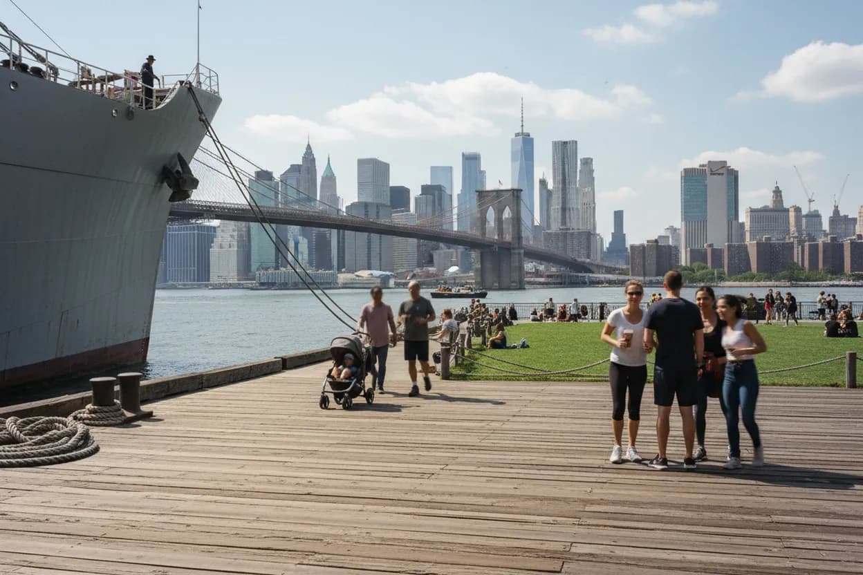
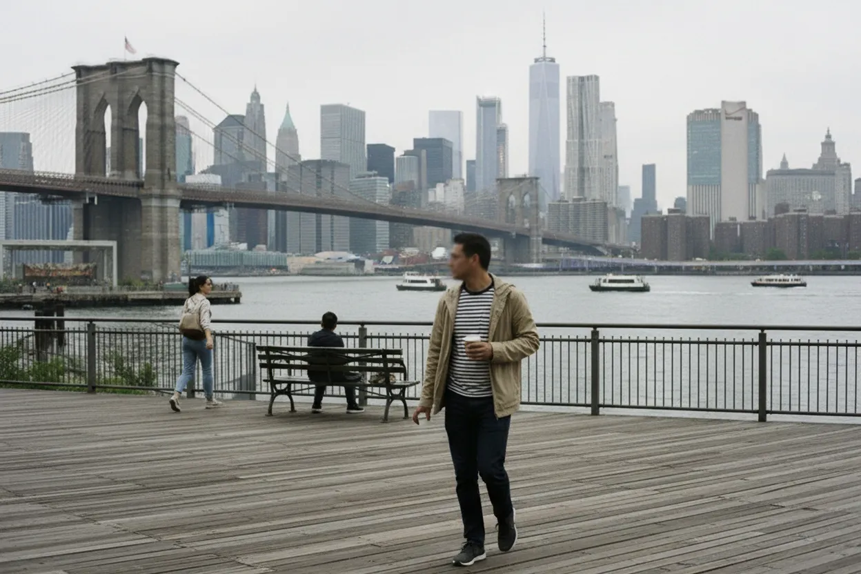
Brooklyn Bridge Park is one of the easiest places in New York to turn a passing headline about an oil tanker into a grounded, no-ticket observation plan. From Pier 6 and the park’s long waterfront promenade, you can watch New York Harbor behave like working infrastructure: ferries, barges, tugs, cruise ships, container traffic, and, occasionally, tankers farther out in the harbor system. The activity is free, solo-friendly, and best treated as patient observation rather than a guaranteed sighting. On July 27, 2026, the practical question is not whether one specific vessel will appear. It is whether the park, weather, light, and your route make the harbor legible enough to be worth your time.
Want a real-time harbor-walk decision before you leave? Text Karpo with your nearest subway stop, available time, and whether you want quiet views, ferry access, or a backup indoor stop.

Start at Brooklyn Bridge Park Pier 6 for the Widest Harbor Read
Pier 6 is the cleanest starting point because Brooklyn Bridge Park identifies it as a landscaped waterfront area with views of New York Harbor, and it sits beside Atlantic Avenue access. Arrive with a simple goal: scan the open water, identify moving vessels by size and direction, and let the pattern build over 20 to 40 minutes. You are not boarding anything or chasing ships. The value is the vantage point, the open sightline, and the way harbor traffic becomes easier to interpret once you stop walking.
The tradeoff is distance. From Pier 6, large working vessels may be visible but not close enough for casual identification without a zoom lens or vessel-tracking check. If your aim is a guaranteed close-up, this is the wrong activity. If your aim is to understand how shipping, ferries, and port approaches share the same harbor, it works well. Bring sunglasses in fair daytime weather, because glare off the water can flatten detail and make vessel shapes harder to read.
Use the Promenade Between Pier 6 and Pier 1 as Your Observation Route
Do not make this a single bench test. The better version is a slow northbound walk from Pier 6 toward Pier 1, stopping whenever the water opens between piers, lawns, and ferry activity. Brooklyn Bridge Park is open daily from 6 a.m. to 1 a.m., but this article’s best fit is daytime, when hulls, wakes, cranes, and ferry routes are easier to distinguish. The route stays public, flat in many stretches, and flexible enough for a short visit.
The failure mode is overplanning. Harbor traffic does not run like a museum timetable for pedestrians, and a tanker sighting may not happen during your window. Use the walk to compare vessel types instead: ferries accelerate and dock frequently, tugs often work with barges, cruise ships are visually obvious, and cargo traffic tends to sit lower and move more deliberately. If nothing large appears, you still get a useful working-waterfront read without spending money.
Check Brooklyn Bridge Park Rules Before Setting Up to Watch
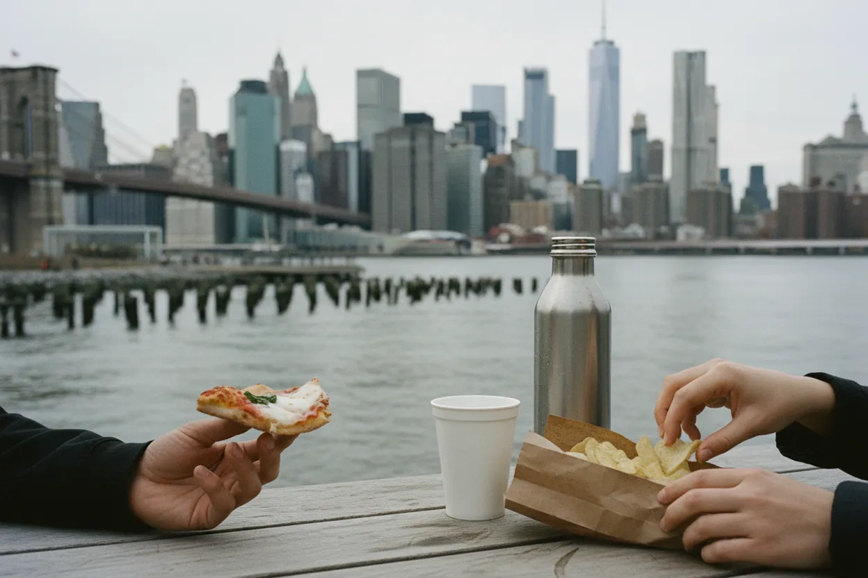
Brooklyn Bridge Park’s visitor guidance confirms free entry, posted hours, restroom locations, and rules that matter for this kind of stop. Keep the setup minimal: phone, binoculars if you own them, water, and a place to sit only if the park already provides one. The park rules prohibit bringing furniture, tents, hammocks, grills, loud amplified sound, smoking, and alcohol. That keeps this firmly in the category of quiet public observation, not a camped-out stakeout.
This matters because waterfront watching can accidentally become intrusive or obstructive when people cluster at railings, block paths, or aim cameras at private moments instead of the harbor. Stay on public paths and promenades, leave room for runners and families, and do not try to access restricted edges for a better angle. If a pier section, lawn, or walkway is closed for weather, maintenance, or construction, treat that as final and shift to another open section.
Read the Port Context Without Assuming Every Large Ship Is a Tanker
The Port of New York and New Jersey describes the region as the largest port on the East Coast and the third largest in the nation, handling containers, roll-on/roll-off cargo, bulk, breakbulk, refrigerated cargo, and specialized project cargo. That context is useful because the harbor is not a single-purpose backdrop. A large vessel in view may be a container ship, cruise ship, barge combination, service craft, or tanker, and visual guesses from shore are often wrong.
A practical decision guide is to separate observation from identification. From Brooklyn Bridge Park, note the vessel’s silhouette, direction, escort tugs, and whether it is moving toward the Narrows, Upper Bay, or port facilities. If identification matters, verify with a reputable vessel-tracking service at the time rather than relying on memory or a social post. If you cannot confirm the vessel type, say so. The responsible answer is often “large commercial vessel,” not “tanker.”
Choose Transit Access That Leaves You a Backup Exit
Brooklyn Bridge Park’s Pier 6 page lists multiple public transportation options, including nearby subway access at Clark Street, High Street or Jay St-MetroTech, Borough Hall, and York Street, plus bus routes and Citi Bike stations. It also notes NYC Ferry service to Brooklyn Bridge Park Pier 6/Atlantic Avenue and DUMBO/Fulton Ferry. Parking is limited, so transit gives you the best chance of keeping the outing easy and low-friction.
For pacing, choose the arrival point based on your tolerance for walking. Pier 6 is strongest for a harbor-first plan, while DUMBO and Fulton Ferry make more sense if you want bridge views and a livelier exit. The backup logic is simple: if wind, glare, or crowding makes the water hard to read, turn the trip into a promenade walk and leave by the nearest subway or ferry stop instead of forcing a long waterfront session.
Add Governors Island Ferry Logic Only If the Schedule Fits
Governors Island can deepen the harbor-reading day, but it should not be treated as automatic. The official Governors Island visitor information says the island is accessible by ferry from the Battery Maritime Building, with seasonal Brooklyn ferry service from Brooklyn Bridge Park/Pier 6 and Red Hook/Atlantic Basin on weekends and holidays from May 23 to November 1, 2026. The ferry page also shows no Trust-operated Brooklyn ferries on weekdays.
That means Monday, July 27, 2026 is a weekday, so the Pier 6 Governors Island ferry is not the dependable add-on for this specific date. If you are planning for a later weekend or holiday, verify the current schedule and ticketing before building the day around it. If you are going today, keep Governors Island as context, not the plan. Brooklyn Bridge Park alone is enough for a free, contemplative harbor observation session.
Make the Final Go Decision at the Waterfront, Not at Home
The best final check happens once you reach the park. Look at visibility, wind, glare, open rail space, restroom needs, and your remaining time. Brooklyn Bridge Park lists restrooms in several park locations, including Pier 6 and Pier 1 areas, with seasonal restroom hours posted on its visitor page. If those basics line up, commit to a 30-minute scan before deciding whether to continue walking north or leave.
Skip or shorten the outing if visibility is poor, paths are crowded, you need a guaranteed tanker sighting, or you are tempted to use unofficial access for a better view. Go if you are comfortable with uncertainty and interested in the harbor as a system. The final verification step is current-source based: check Brooklyn Bridge Park alerts, transit or ferry status, and a live vessel tracker if specific ship identification matters. Without those checks, keep your claims modest.
Tags: #BrooklynBridgePark #NYCWaterfront #NewYorkHarbor #OilTanker #ShipWatching #FreeThingsToDoNYC #NYCParks #BrooklynNY #HarborViews #SoloNYC #NYCTransit #MaritimeNYC #AskKarpo #BeforeYouGo
Sources consulted: Source 1: brooklynbridgepark.org · Source 2: brooklynbridgepark.org · Source 3: portauthoritybuilds.com · Source 4: portauthoritybuilds.com · Source 5: govisland.com · Source 6: govisland.com
All trademarks are the property of their respective owners.
Ask Karpo first
Tell Karpo your date, group size, budget, and starting neighborhood. We’ll check current access, timing, transit, and the cleanest plan for Brooklyn Bridge Park before you head out.