The current silo conversation is a good excuse to look at New York from the ground up, but Sunset Park rewards a more local kind of viewing. This Brooklyn neighbourhood is arranged like three layers on one hillside: a waterfront industrial campus, a residential grid, and a commercial avenue that is also the largest Chinatown in New York City. The walk that makes sense starts at the bottom, crosses the middle, and takes the park uphill last.
Message Karpo for a live Sunset Park route that starts at Industry City, fits in Japan Village, and saves the skyline view for the uphill finish. It can adjust the timing around what is open to the public when the walk begins.

Start at the waterfront, not the view
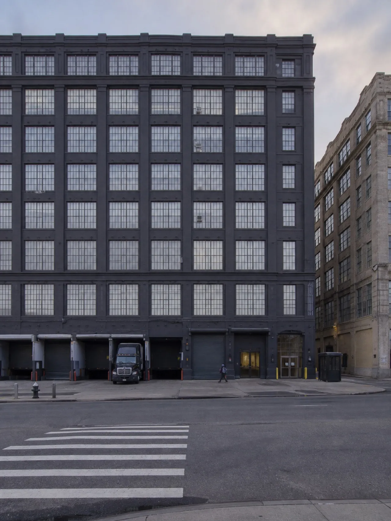
Industry City is the natural starting point because it establishes the scale of Sunset Park before the streets narrow into their residential rhythm. Industry City is the old Bush Terminal - six million square feet across 35 acres - so it is a campus rather than a building, and underestimating the walking distance inside it is the standard first-visit error. The former industrial complex now holds manufacturing, creative businesses, retail and restaurants, spreading the first part of the walk across a working landscape rather than a single attraction.
Give the campus daytime into evening, but do not treat the whole place as a quick doorway stop. The waterfront position makes it feel separate from the rest of Sunset Park, and that separation is useful: it lets the walk begin with the neighbourhood's industrial history before moving inland. Take time to cross the campus on foot, then leave with the hill still ahead. The route works because the most strenuous section has not been spent too early.
Eat before the climb begins
Japan Village sits inside the Industry City campus, which makes the densest eating stop of the day the one at the bottom of the hill rather than on the main commercial strip. It is a Japanese food hall and market, and it is worth timing lunch around rather than treating it as an afterthought at the end of the walk. That placement matters more than a perfectly timed itinerary: the food stop comes while the waterfront campus is still the setting, before the route changes character.
Japan Village can also act as the practical reset point. Eat there, walk a little more through Industry City, and then head inland toward the residential streets. Daytime into evening is the useful window for both Japan Village and the wider campus, but lunch keeps the sequence clean. Once the route reaches Eighth Avenue, the point is to browse and observe rather than turn around for the meal that should have happened at the bottom.
Cross the residential grid slowly
Between the waterfront and Eighth Avenue, the residential grid is the connective tissue. It is not a destination in the way Industry City, Japan Village or Sunset Park can be, but it is the reason the three parts read as one neighbourhood. The low residential streets have a consistent classical look, carrying the walk from the industrial edge toward the commercial strip without announcing a hard boundary between the two.
This is the section to keep unhurried. The grid explains the geography: the waterfront is not an isolated campus, and Eighth Avenue is not simply a shopping corridor dropped onto the hill. The streets connect them. In daylight, the route has enough visual change to hold attention without requiring a separate stop at every block. Keep moving uphill, but let the transition register.
Use Eighth Avenue as the middle act
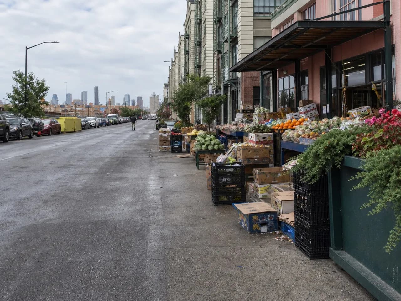
The Chinatown along Eighth Avenue, running roughly 42nd to 68th Streets, is the largest in New York City and one of the largest in the United States - bigger than Manhattan's, and the one where Chinese New Yorkers actually do their shopping. The avenue runs with fruit vendors, herbal tea shops, seafood markets, bakeries and noodle carts, giving the walk a different tempo from the campus below.
This is where Chinese New Yorkers shop and eat rather than where visitors are sent, which changes the pace and the pricing. The useful approach is to follow the avenue through the stretch rather than search for one definitive storefront. Daytime is the right frame for the commercial strip, when the shopping activity makes its role clear. Eighth Avenue is the middle of the route, not the finish, so leave enough energy for the final climb.
Save Sunset Park for the payoff
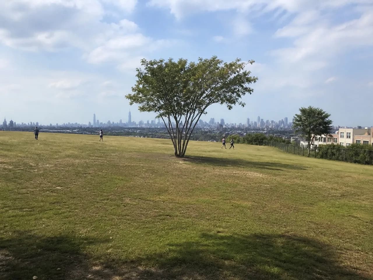
Sunset Park itself is 24 acres sitting on one of the highest natural points in Brooklyn, which is why the skyline view there is a genuine payoff rather than a marketing line. The park looks over the harbour toward the Manhattan skyline, and the elevation gives the last section of the walk a clear purpose. After Industry City's broad industrial footprint and Eighth Avenue's commercial density, the open view changes the scale again.
The neighbourhood stacks from waterfront industry through a residential grid up to the commercial avenue and the park, so walking it bottom to top puts the climb and the view at the end instead of in the middle. That order is the whole trick. Starting at the park would spend the reward before the route has done its work; finishing there lets the harbour and skyline close the day. Stay for the view, then leave by the route that suits the next part of the evening.
Practical notes
- Begin at Industry City on the Brooklyn waterfront and allow extra walking time inside the six-million-square-foot campus.
- Plan Japan Village for lunch or an early meal; it sits inside Industry City and is the most concentrated food stop on this route.
- Cross the residential grid in daylight, using the low streets between the waterfront and Eighth Avenue as the connection between the two.
- Follow Eighth Avenue through roughly 42nd to 68th Streets during the daytime for fruit vendors, markets, bakeries and noodle carts.
- Keep the uphill section for last and finish at the public park, where the harbour-to-Manhattan skyline view is the route's payoff.
- Treat Industry City and Japan Village as daytime-into-evening stops, while the residential grid and park are best handled in daylight.
- If the walk needs shortening, keep the bottom-to-top order and cut time within the campus rather than spending the park view early.
Tags: #sunsetpark #brooklyn #nycwalks #neighborhoodguides #industrycity #japanvillage #eighthavenue #chinatown #brooklynchinatown #citywalks #nycfood #urbanhills #skylineviews #localtravel
Sources consulted: nyctourism.com · en.wikipedia.org · away.mta.info · bhsusa.com
All trademarks are the property of their respective owners.
Ask Karpo first
Message Karpo when the plan is still flexible and it can map a live Sunset Park route around what is actually open to the public: Industry City and Japan Village from the waterfront, Eighth Avenue's commercial stretch during the day, and Sunset Park at the top. It can help choose when to show up, keep lunch at the bottom, and adjust the walking order around the neighbourhood's uphill finish.