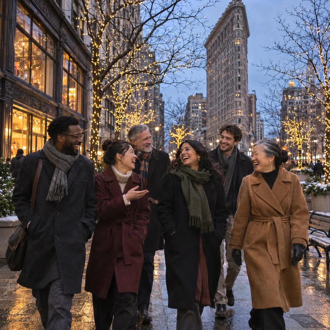
 Flatiron Holiday Window Walk Planner for Remote Teams
Free Things to Do
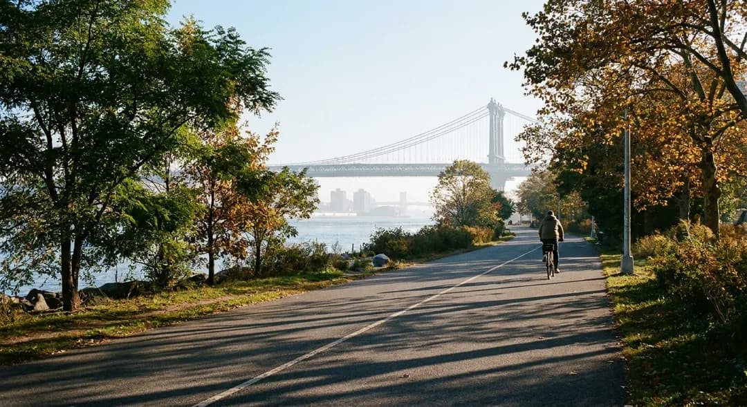
Lower East Side Shaded Greenway Cycling Trail: River Loop
Lower East Side cyclists can ride the East River Greenway from Pier 35 past shaded corridors. Compare morning river breeze and ferry access before you roll.
Start your Lower East Side shaded greenway cycling trail exploration from the open pedestrian plaza at Pier 35, where the wide concrete riverfront esplanade greets the tidal currents of the East River. Setting an initial riding perimeter between the Manhattan Bridge anchorage and Corlears Hook keeps your training session contained, away from heavy avenue traffic and sheltered from arterial truck exhaust. In Karpo APP, pull up the waterfront corridor alignment alongside live local weather data to monitor changing wind gusts, tidal humidity, and morning sun angles before pushing off. Saving a compact four-mile river loop alongside a southern fallback toward the Battery provides immediate tactical agility whenever seawall maintenance crews, utility repairs, or park detours interrupt the primary multi-use path.
Trace The Tree-Lined Esplanade Past Pier 35
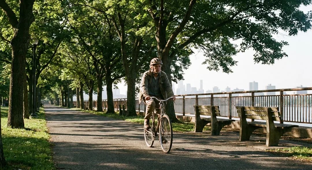
Rolling north from Pier 35, the greenway hugs maritime bulkheads where mature London plane trees, pin oaks, and honey locusts cast broad, overlapping canopy shadows across the dark asphalt pavement. Dawn and early morning hours offer the most comfortable cycling environment because the sun remains low behind the industrial Brooklyn skyline, keeping the path sheltered, breezy, and refreshingly cool. As you glide past the iconic raised wooden porch swings, listen for approaching bells from commuter bicycles and maintain a moderate cruising pace to cross steel joint seals and tidal expansion plates safely.
Keep your speed measured around the gentle river bends where neighborhood playground pathways merge into the dedicated cycling lane. This popular recreational segment demands attentive lane discipline and continuous situational awareness, especially during pleasant weekend mornings when local joggers, rollerbladers, and families with strollers congregate along the waterfront railing. Karpo APP allows cyclists to bookmark quiet off-peak riding windows, making it easy to schedule your workout when foot traffic thins out and the open water air keeps summer humidity manageable.
Navigate The John V. Lindsay East River Park Corridor
Approaching the southern gateway of John V. Lindsay East River Park, the greenway expands into distinctly marked bidirectional bike lanes highlighted with durable thermoplastic striping. Substantial tree groves, earthen berms, and protective masonry seawalls effectively baffle the roaring traffic noise and exhaust glare radiating from the nearby FDR Drive, establishing an unexpectedly peaceful sanctuary right on Manhattan's urban edge. Look down at the path surface to spot painted distance markers that provide accurate mileage tracking as you travel northward toward East Fourteenth Street.
During sweltering summer afternoons, make strategic use of the generous overhead shade created by the structural pedestrian bridges spanning across the FDR Drive at Delancey and Houston Streets. These elevated architectural crossings act as natural sunshades, providing reliable fifty-yard cooling corridors where cyclists routinely pull over to drink water and adjust gear. Saving these bridge coordinates directly into your digital ride log guarantees your riding group always has identifiable, sheltered waypoints to regroup without obstructing active passing lanes.
Manage Pavement Transitions And Ferry Terminal Crossings
At Corlears Hook Park, the bikeway curves decisively around the NYC Ferry landing, where smooth black asphalt briefly transitions to textured interlocking pavers. Ease back on your pedaling rhythm and cover your brake levers well before reaching this active transit plaza, where disembarking commuters and visiting pedestrians routinely move between outdoor ticket kiosks and the boarding ramp. Rather than swerving unpredictably through foot traffic, follow the bright green bike symbols painted on the ground that route cyclists cleanly around the perimeter fence.
This bustling ferry pontoon also serves as an outstanding intermediate turnaround point if you prefer a tighter, lower-mileage loop. The open pier deck commands broad panoramic vistas across Wallabout Bay directly into the Brooklyn Navy Yard, offering riders an ideal perch to evaluate wind resistance and incoming cloud cover before deciding whether to push farther north toward Stuyvesant Cove or loop back beneath the bridge towers.
Establish A Reliable Inland Fallback Route
Because riverfront greenways are exposed to tidal weathering, seasonal nor'easters, and routine bulkhead stabilization projects, having a thoroughly mapped inland backup corridor through the Lower East Side street grid is essential. The protected two-way cycle track running along Pike Slip and Allen Street represents the premier alternative, featuring dedicated bicycle signal phases, raised concrete boarding islands, and solid physical separation from motor vehicles all the way to East Houston Street.
Rerouting onto Allen Street places you beneath the continuous foliage of the landscaped pedestrian median, where established street trees replicate the cooling shade found along the riverbank. While riding this inland avenue introduces standard municipal traffic signals and occasional intersection stops, the grade remains remarkably flat, consistent, and easy on the legs, avoiding the bone-jarring vibrations of cobblestone streets nearby.
Practical Riding Notes And Surface Precautions
Before clipping in for your waterfront workout, inspect your tire pressure to ensure optimal compliance and puncture defense over occasional steel road plates and uneven expansion seams. Marine salt spray and river mist accelerate chain oxidation, so make it a habit to wipe down and lubricate your drivetrain regularly after coastal rides. Always carry a dependable compact hand pump, tire levers, a spare tube, and at least twenty-four ounces of fluids, as outdoor drinking fountains along the bulkhead are turned off for winterization outside the warmest months.
Waterfront lighting levels fluctuate significantly throughout the day as tall residential towers across Two Bridges and Chinatown block out low-angled sunlight. Equip your bike with a focused front headlight putting out at least three hundred lumens to clearly illuminate dim pavement sections under highway ramps, and keep a bright flashing rear safety light engaged even during midday sunshine to remain visible to faster pacelines closing from behind.
Consolidate Ride Data For Future Waterfront Loops
Finish your session by recording your specific access gates, gravel detours, and preferred resting spots into Karpo APP. Documenting seasonal wind patterns, shade duration along the concrete flood barriers, and pristine asphalt segments turns casual cycling outings into a repeatable athletic habit. Having accurate, shared ride notes ensures your workout companions understand meeting points and escape routes without needing mid-ride phone calls.
Developing a consistent cycling routine along the Lower East Side waterfront is all about aligning your rhythm with the natural flow of the river and the urban landscape. By respecting shared park etiquette, staying mindful of varied path surfaces, and keeping reliable shaded alternates ready, you can unlock the full athletic and scenic potential of this remarkable car-free Manhattan corridor.
Ask Karpo for more information.
Keep reading
- Flatiron Holiday Window Walk Planner for Remote Teams
 SoHo Holiday Window Walk Planner for a Sketchbook Afternoon
 Upper East Side Holiday Window Walk Planner After a Museum