 Flatiron Holiday Window Walk Planner for Remote Teams
Free Things to Do
SoHo NYC Scenic City Skyline Viewpoint Route Guide
Walk a SoHo NYC scenic city skyline viewpoint route from cast-iron streets to Hudson River piers using Karpo APP to sequence public photo stops.
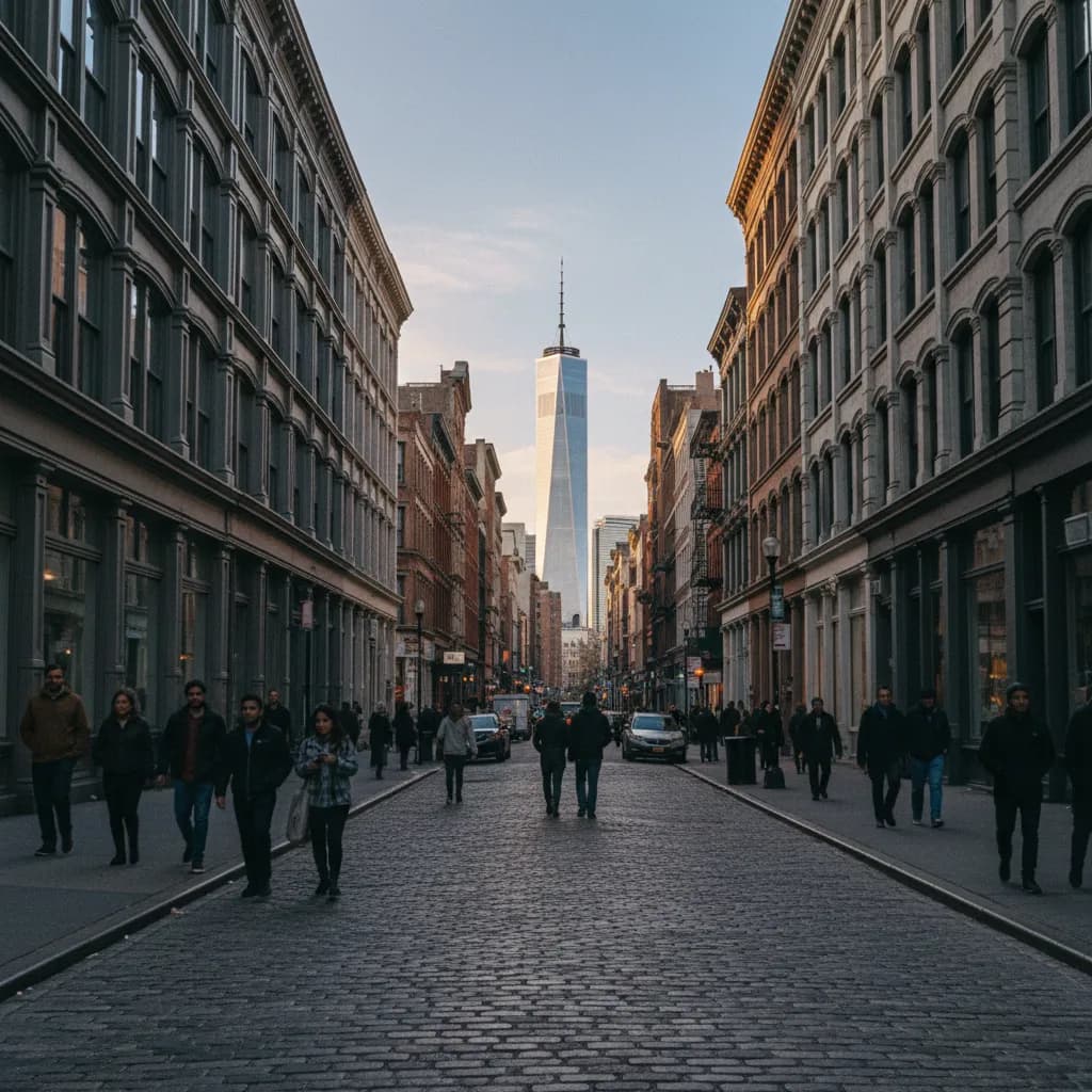
Looking south from the Belgian block intersection of Greene Street and Broome Street, five-story cast-iron loft facades act like a tall viewfinder pointing straight at the glass spire of One World Trade Center rising over Lower Manhattan. Locating a memorable scenic city skyline viewpoint in SoHo means reading the geometry of historic street grids rather than searching for a public observation tower inside a low-rise landmark district. Protected since 1973 as the SoHo-Cast Iron Historic District by the New York City Landmarks Preservation Commission, these blocks preserve uniform roof heights that keep north-south sky corridors open while linking westward within minutes to the Hudson River esplanade. With the Karpo APP, walkers can arrange a balanced loop that begins among ornamental iron columns and finishes on wide waterfront piers at sunset.
Greene And Mercer Street Cast-Iron Canyons Framing Lower Manhattan
Between Canal Street and West Houston Street, the parallel north-south corridors of Greene Street, Mercer Street, and Wooster Street form the architectural spine of SoHo. Built largely between 1860 and 1890 to house dry-goods showrooms and textile warehouses, these Italianate and French Second Empire buildings rarely exceed six stories, creating a crisp horizontal roofline on both sides of the cobblestone roadway. When you stand near the corner of Mercer Street and Grand Street during late morning or mid-afternoon, the tapered glass pinnacle of One World Trade Center fills the southern gap at the end of the avenue, contrasting sharply with dark painted iron columns and weathered fire escapes.
Turning north along the same cobblestone blocks shifts your focal point toward the Midtown skyline, where the spire of the Empire State Building rises above the low masonry roofs of Greenwich Village. Fashion illustrators, architecture students with sketchpads, and neighborhood dog walkers pause along the wide bluestone vault lights on Greene Street because delivery traffic moves slowly over the historic stones. Saving specific block intersections inside the Karpo APP helps you remember which corners offer clean sightlines free of scaffolding or dense street-tree canopies.
Sixth Avenue Open Plazas And West Broadway Sky Channels
Where the western edge of the cast-iron district meets Sixth Avenue and Varick Street, the roadway widens dramatically and breaks the narrow canyon effect of the interior loft blocks. Small public triangles along the avenue, including Father Demo Square just north of Houston Street and the open pedestrian plazas near Spring Street and Dominick Street, give photographers a much wider lateral angle toward both Downtown and Hudson Yards. Because Sixth Avenue slices diagonally across the western grid below Carmine Street, standing on the eastern sidewalk near Broome Street opens a diagonal panorama of glass residential and commercial towers catching the afternoon sun.
One block east on West Broadway, the former path of the nineteenth-century elevated railway leaves behind a broad boulevard lined with gallery windows and outdoor cafe seating. Walking south from Prince Street toward Grand Street lets you watch golden light bounce off the eastern faces of Tribeca loft towers while the lower Manhattan skyline stacks up in the distance. Using the Karpo APP to compare interior cobblestone streets against these wider boulevard corridors allows you to adjust your focal length and walking pace as afternoon shadows lengthen across the pavement.
Connecting West Along Spring Street To Hudson River Park Piers
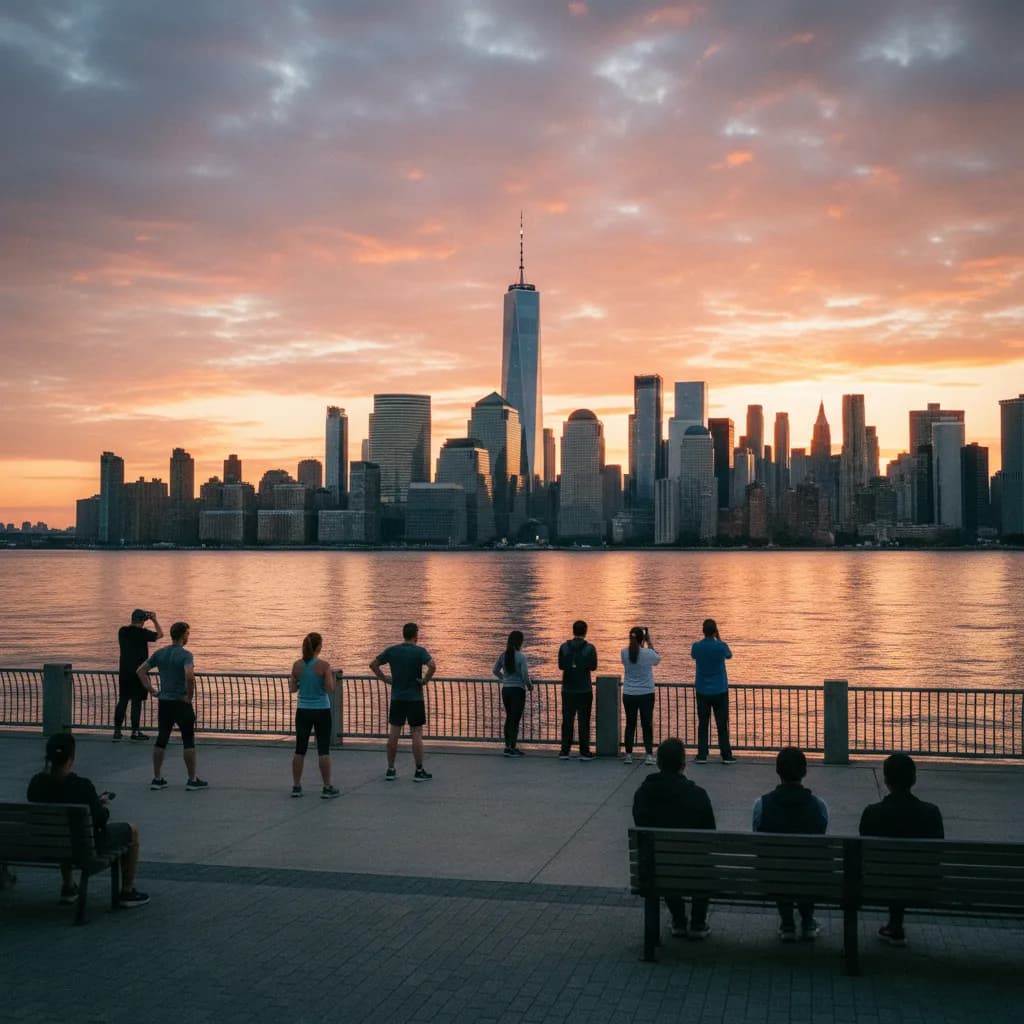
Whenever you want to trade framed street canyons for a sweeping one-hundred-eighty-degree water horizon, follow Spring Street or Watts Street west across Hudson Street and West Street into Hudson River Park. Within a ten-minute walk from the center of SoHo, the pedestrian crosswalks at Canal Street and Spring Street lead directly onto the waterfront esplanade around Pier 34 and the southern perimeter of Pier 40. Here, the tightly packed brick and iron lofts give way to the broad tidal expanse of the Hudson River, with unobstructed views south toward Battery Park City and north toward the supertall towers of Midtown West.
The perimeter walkway wrapping around Pier 40, originally built in 1962 as a passenger and cargo terminal for the Holland America Line, projects far out into the river channel. Walking to the southwestern corner of the pier apron puts you well west of the Manhattan shoreline, allowing you to look back at the entire western profile of Lower Manhattan illuminated in warm evening light. Cyclists on the Hudson River Greenway stay on the inland bike path, leaving the outer timber and concrete railings calm for evening stargazers and sunset watchers.
Crowded Shopping Blocks To Avoid And Rainy-Day Transit Alternatives
Avoid Broadway between East Houston Street and Canal Street on Saturday and Sunday afternoons if your goal is quiet skyline observation or unhurried street photography, as dense weekend retail crowds pack the sidewalks shoulder to shoulder. You should also skip the narrowest mid-block stretches of Prince Street during peak afternoon shopping hours when tour groups and sidewalk lines block clear sightlines down the cross streets. Early weekday mornings between eight and ten o'clock or late afternoons on Mercer Street and Wooster Street provide far cleaner architectural perspectives.
If a sudden rainstorm or freezing river wind interrupts your walk toward the Hudson River piers, duck back toward the Spring Street station on the C and E subway lines, the Prince Street station on the R and W lines, or the Spring Street station on the 6 line along Lafayette Street. The deep recessed cast-iron porticoes along Greene Street and the covered pedestrian arcade near the Freeman Alley approach off Rivington and Chrystie connections give brief shelter while you check your saved transit notes in the Karpo APP and decide whether to continue downtown.
Timing A Late-Afternoon Architectural And Waterfront Loop
A well-paced ninety-minute SoHo skyline route begins at the Prince Street R and W subway exit ninety minutes before sunset, when angled light rakes across the cast-iron moldings of Greene Street and Mercer Street. Spend your first forty minutes walking south to Grand Street and back up Wooster Street to capture both the southern Financial District spire and the northern Empire State Building axis between historic cornices.
During the final fifty minutes before dusk, turn west along Broome Street or Spring Street, cross the planted median of West Street, and claim a spot along the Hudson River Park railing between Pier 34 and Pier 40. Watching the sky shift from pale amber to deep cobalt over the water while the Downtown towers light up behind you provides a striking counterpoint to the intimate loft canyons of SoHo. Keeping this two-stage route organized in the Karpo APP makes it easy to repeat the walk with visiting friends or adapt it for different seasons.
Ask Karpo for more information.
Keep reading
- Flatiron Holiday Window Walk Planner for Remote Teams
 SoHo Holiday Window Walk Planner for a Sketchbook Afternoon
 Upper East Side Holiday Window Walk Planner After a Museum