 SoHo Tailor Alteration Shop Finder for Sample Sale Finds
Neighborhood Guides
Williamsburg NY Walk: A Neighborhood Historical Walking Tour
Follow a Williamsburg Brooklyn historical walking tour from Broadway Gilded Age bank domes to the Domino Sugar Refinery waterfront on Karpo APP.
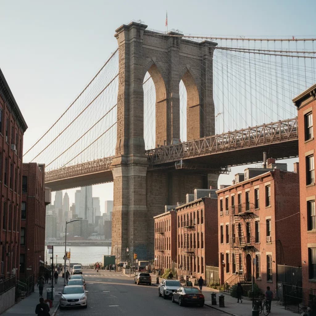
Beneath the steel suspension cables of the 1903 Williamsburg Bridge, Broadway between Marcy Avenue and the East River launches a 1.8-mile Williamsburg neighborhood historical walking tour through Brooklyn's 19th-century banking, sugar refining, and shipbuilding hub. Long before boutique hotels rose along Wythe Avenue, the independent City of Williamsburgh grew around East River steam ferries and industrial docks before consolidating with Brooklyn in 1855. Walking west from the elevated J, M, and Z tracks at Marcy Avenue toward Kent Avenue and north to McCarren Park takes roughly 90 minutes across flat waterfront promenades and tree-lined residential blocks.
Gilded Age Bank Domes Along Lower Broadway
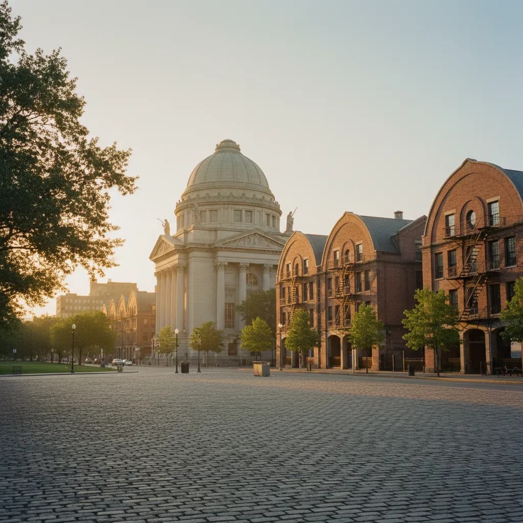
Begin at the corner of Broadway and Driggs Avenue outside 175 Broadway, where architect George B. Post's monumental Williamsburgh Savings Bank Building has anchored the Southside skyline since 1875. Designated a New York City Individual Landmark in 1966, this Classical Revival temple rises 110 feet to a central limestone dome inspired by Roman imperial baths. Cross to the south sidewalk of Broadway beneath the elevated train structure to take in the full symmetry of its Corinthian pilasters, arched clerestory windows, and carved stone pediments.
Walk one block west to the northeast corner of Broadway and Bedford Avenue to compare 135 Broadway, the former Kings County Savings Bank designed by King & Wilcox and completed in 1868. Built in French Second Empire style using warm Dorchester sandstone and topped by a Dormered mansard roof, the building reflects the civic wealth generated by nearby East River molasses, rope, and iron foundries right after the Civil War. Notice how the two bank headquarters face each other diagonally across Bedford Avenue like twin financial gateposts guarding the ferry approach from Manhattan.
Williamsburg Bridge Plaza and Southside Brick Row Houses
Just east of Driggs Avenue lies Washington Plaza, the sprawling trolley and pedestrian terminal built for the December 1903 opening of engineer Leffert L. Buck's Williamsburg Bridge. When the 7,308-foot suspension span connected Delancey Street directly to Brooklyn, hundreds of timber-frame cottages were cleared to create a Beaux-Arts transit plaza flanked by cast-iron stairways and granite balustrades. Take the pedestrian footbridge entrance at Bedford Avenue and South 5th Street for a close-up view of the bridge's riveted steel lattice trusses without committing to the full river crossing.
Detour one block south to South 4th and South 5th Streets between Bedford Avenue and Wythe Avenue to inspect surviving 1850s and 1880s Italianate brick row houses. High brownstone stoops, bracketed sheet-metal cornices, and cast-iron newel posts show how master mechanics, brewery foremen, and ferry captains lived within walking distance of the waterfront piers.
Domino Sugar Refinery Archways and Industrial Artifact Walk
Head west to the East River shoreline at 300 Kent Avenue, where the landmarked Havemeyers & Elder Filter, Pan, and Finishing House—universally known as the Domino Sugar Refinery—rises above five-acre Domino Park. Rebuilt in red brick between 1882 and 1884 after a catastrophic fire, the American Round-Arch industrial complex once refined more than half of the cane sugar consumed in the United States. Designated a New York City Individual Landmark in 2007, its outer brick shell now frames a contemporary glass office barrel vault while preserving the original 19th-century masonry window bays and smokestack.
Stroll north along the elevated walkway at 15 River Street to examine salvaged industrial machinery integrated into Domino Park by landscape architects James Corner Field Operations in 2018. Four thirty-six-foot turquoise cylindrical syrup tanks, cast-iron mooring bollards, raw sugar screw conveyors, and eighty-foot teal gantry cranes trace the exact path where Caribbean sugar barges unloaded raw cargo. Morning runners, parents pushing strollers, and architectural photographers share the wooden boardwalk under a clear local norm: step off the narrow elevated catwalk onto the wider viewing platforms before stopping to frame photos of the Williamsburg Bridge towers.
Northside Factory Lofts and Russian-Byzantine Copper Domes
Follow Kent Avenue north past Grand Street and Metropolitan Avenue to 184 Kent Avenue at the corner of North 3rd Street, where architect Cass Gilbert—celebrated for Manhattan's 1913 Woolworth Building—designed the monumental Austin, Nichols & Co. Warehouse in 1915. Built of reinforced concrete for the world's largest wholesale grocery distributor, the six-story waterfront landmark incorporates Egyptian Revival cornice proportions, rhythmic industrial sash windows, and an interior rail freight siding that once connected directly to Brooklyn Eastern District Terminal float bridges.
Continue north along the waterfront corridor, where early 20th-century brick warehouses and former tin-stamping plants line the riverfront. Skip walking down Bedford Avenue between North 4th and North 8th Streets on weekend afternoons if your goal is historical sightseeing; dense shopping crowds and sidewalk cafe queues obscure the 1890s masonry storefronts, whereas parallel Berry Street and Wythe Avenue offer calm sightlines.
Turn east on North 12th Street toward McCarren Park to conclude at 228 North 12th Street, the Russian Orthodox Cathedral of the Transfiguration of Our Lord. Designed by Brooklyn architect Louis Allmendinger and built between 1916 and 1921, this yellow-brick sanctuary crowns the block with five green-patinated copper onion domes and gold-plated crosses. Listed on the National Register of Historic Places in 1980, the cathedral anchors the historic Slavic and Polish parish blocks bordering Greenpoint.
East River Wind Planning, Transit Links, and Indoor Shelter
Because the East River channel funnels brisk crosswinds along Kent Avenue and River Street even on mild autumn and spring days, pack a windproof outer layer and plan this walk for late afternoon when western sunlight illuminates the brick arches of the Domino Sugar Refinery. While mapping out stops on the Karpo APP, walkers can check nearby Northside and Southside historical blocks and link their route seamlessly with Greenpoint or DUMBO.
If heavy rain or harbor squalls roll across the East River, duck inside the covered public atrium and historic brick archway corridors along Wythe Avenue or board the NYC Ferry East River route at North Williamsburg (North 6th Street pier) or South Williamsburg (Schaefer Landing). Subgroup transit riders can also hop on the L train at Bedford Avenue or the J, M, and Z trains at Marcy Avenue using a $3.00 OMNY tap to return to Manhattan in one stop.
Ask Karpo for more information.
Keep reading
- SoHo Tailor Alteration Shop Finder for Sample Sale Finds
 Williamsburg Tailor Alteration Shop Finder for Bike Riders
 Upper West Side Tailor Alteration Shop Finder for Kids