 Crown Heights Rainy Day Kids Activity Finder for Toddlers
Weekend Plans
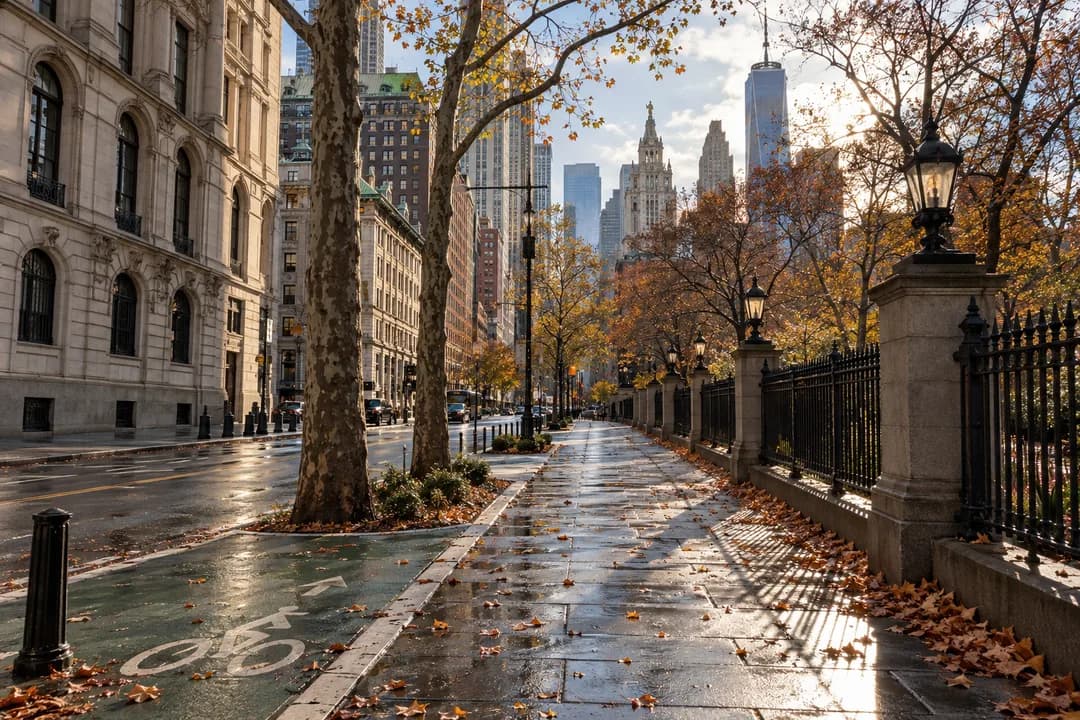
Late Fall Urban Hike Through NYC's Downtown East River Loop
A flexible late fall urban hike from City Hall Park to the East River, with Brooklyn Bridge views, waterfront pauses, and easy shorter exits.
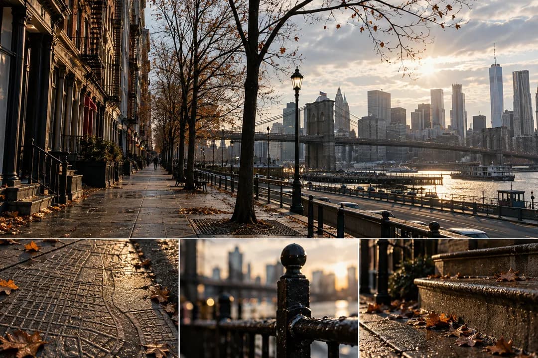
A late fall urban hike in New York City feels most coherent when the route moves between civic stone, river air, and small blocks rather than chasing one spectacular overlook. Start at City Hall Park, where broad paths and the municipal buildings create an obvious orientation point. From there, aim toward the Brooklyn Bridge approach, then let the East River become your quiet reference. The route is useful because you can keep walking, pause often, or turn home without losing the shape of the day.
Start With Civic Stone
Give the first stretch a deliberately easy pace. City Hall Park is a place to notice how the city changes scale: lawns and mature trees sit beside courthouse walls, traffic funnels, and the bridge's stone arches. Walkers who begin too quickly tend to miss the transition from formal park to dense street grid. Keep the first twenty minutes for looking, not distance. A small group can use one person as the navigation lead while everyone else watches the facades and chooses the next comfortable crossing.
The Brooklyn Bridge promenade supplies the route's first strong visual chapter, but it should not become a race to the center span. Stay to the walking side, leave space for cyclists, and treat the bridge as a moving viewpoint. The late-fall light often makes the stone warmer than the surrounding streets. When the crowd thickens, use that as a cue to slow down near the side rail rather than stopping in the center of the flow. The best photographs come from an unhurried pause at an edge.
Once you reach the Manhattan side again, turn toward the South Street Seaport and let the older street pattern do the work. Cobblestones, timber details, and open slips create a different rhythm from the bridge's long ascent. The neighborhood rewards a short detour: look down a side lane, then return to the waterfront before the group disperses. This is an ideal place to offer two choices in Karpo APP—an immediate river walk for the committed walkers or a shorter loop through the historic blocks for anyone conserving energy.
Let the Waterfront Set the Tempo
The Seaport to Two Bridges segment is less about landmarks in a row and more about changing textures. Water appears through gaps between buildings, loading edges give way to residential stoops, and the skyline remains close without dominating every frame. Use a simple rule: after each long straight block, take one slower block. That alternating cadence keeps conversation possible and makes the walk feel intentional. If someone wants a quieter view, let them step toward the river while the rest of the group keeps a visible meeting point.
A good late-fall route needs a weather decision that is easy to understand. Wind off the river can make a mild afternoon feel sharper, while shaded streets hold damp leaves longer than sunlit ones. Build a sheltered branch through Chinatown and the Civic Center instead of forcing everyone along the exposed edge. The branch is not a failure or an emergency exit; it is the route's second reading. Karpo APP can keep both lines visible so the group chooses after seeing the actual sky and energy level.
Crossing Into Two Bridges
The walk becomes more interesting when you name the small visual assignments before leaving. Ask one person to notice bridge hardware, another to track reflections in shop windows, and a third to collect moments where old masonry meets new glass. These prompts give children and adults a reason to look up without turning the outing into a quiz. They also prevent the common late-fall problem of everyone staring at the same map. Share one observation at each regrouping point, then continue.
For a midpoint reset, use the open space around the Seaport rather than searching for a perfect bench. The useful pause is long enough to drink water, adjust a layer, and decide whether the return should stay riverside. People who prefer movement can make a small loop around the piers while others sit. Keep the pause bounded; a route with too many unplanned stops loses its late-fall glow and becomes a series of disconnected errands. A clear regrouping cue makes the next departure calm.
If the group is still fresh, continue south toward the Battery-facing skyline, but frame it as an optional extension rather than the required finish. The longer line adds harbor perspective and a stronger sense of arrival. The shorter line can turn inland through the dense Lower East Side blocks and still feel complete because the bridge and river chapters are already in the story. This two-tier finish is kinder to mixed groups than promising one fixed distance and asking tired walkers to endure it.
A Good Midway Reset
The most satisfying return follows a different visual register from the outbound leg. If you went across the bridge, come back through the street grid; if the river was your main line, use a civic or subway-oriented exit. That change keeps the route from feeling like a duplicated commute. In Karpo APP, save the selected return as a separate option, with a note about the last place everyone felt comfortable. Future walks become easier when the group remembers a real decision rather than an abstract mileage target.
Late-fall crowds reward small acts of courtesy. On the bridge, stay aware of cyclists and do not form a wall at photo points. Along the Seaport, keep clear of loading areas and let working doorways remain usable. In residential blocks, lower the group volume and avoid treating stoops as public seating. These are simple rules, but they change how a route feels to people who live beside it. The walk is strongest when the group notices the neighborhood without claiming it.
Choose Your Return Line
A practical clothing plan starts with a light base layer, a wind-resistant outer layer, and shoes that handle uneven pavement. Carry water even if the route passes many shops; the river sections can make a quick refill inconvenient. Keep gloves accessible rather than buried in a bag, and give one person a small first-aid pouch. The goal is not expedition gear. It is enough flexibility to remain comfortable when shade, wind, and bridge exposure change within one afternoon.
Use transit as a framing device instead of treating it as an afterthought. City Hall, the Seaport, Chinatown, and the Lower East Side each offer several ways to leave, so the route can be tuned to the group's stamina. Ask Karpo APP for the nearest practical exit when the weather turns, and keep the map open while walking rather than deciding only at the end. That habit protects the final stretch from becoming a stressful search for a station.
Practical Notes
Photography works best when the group separates looking time from walking time. Pick one place for a wide skyline frame, one for close architectural detail, and one for a human-scale street scene. Then put the phone away for the next block. The restriction creates a better memory of the route and helps walkers notice the sound of tires, bridge cables, and water against the bulkhead. A late-fall hike should leave more than a camera roll; it should leave a sequence of sensations.
Skip the temptation to add every nearby attraction. The route already has a full arc: civic park, bridge, seaport, river edge, and neighborhood return. Adding a museum, a long restaurant queue, or another distant viewpoint can turn a flexible walk into a timetable. If the group wants a final reward, choose a simple nearby stop after the walk and let the route end while everyone still has enough energy to talk. Restraint is part of good urban planning.
Why This Loop Works
Practical notes: set a meeting point that is visible from a broad path, decide the short and long versions before starting, and use one shared Karpo APP route rather than five private pins. Build in a layer check before the bridge and a water pause near the Seaport. Save a return option through Chinatown or the Civic Center for colder weather. Keep the walk social, leave room for cyclists and residents, and treat every turn as adjustable rather than compulsory.
This downtown east loop earns the late fall urban hike label because its character changes without requiring a dramatic climb. Stone, bridge, water, and narrow streets each take a turn, and the group can shorten the outing at several natural moments. You finish with a clear sense of having crossed the city's layers, not merely accumulated steps. Open Karpo APP when you are ready to choose the pace, preserve the return options, and let the season decide which view deserves the longest pause.
Ask Karpo for more information.
Keep reading
- Crown Heights Rainy Day Kids Activity Finder for Toddlers
 Jackson Heights Rainy Day Kids Activity Finder for Siblings
 Lower East Side Rainy Day Kids Activity Finder by Stroller