 SoHo Tailor Alteration Shop Finder for Sample Sale Finds
Neighborhood Guides
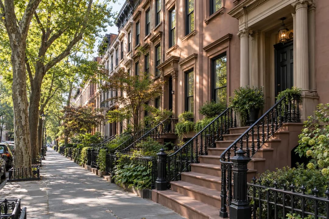
Brooklyn Heights Historic Walking Route: Slopes and Skyline
Stroll nineteenth-century tree-lined streets in Brooklyn Heights past historic Underground Railroad sites and sweeping New York Harbor promenade vistas.
Brooklyn Heights stands as one of the most serene and architecturally intact historic enclaves in the United States. Designated in 1965 as New York City's very first historic district, this blufftop neighborhood overlooking New York Harbor contains over six hundred pre-Civil War and Gilded Age residences. Beginning at the Borough Hall subway complex serving the 2, 3, 4, 5, and R trains at Court and Joralemon Streets, Brooklyn, NY 11201, this self-guided walking route meanders along cobblestone lanes, gas-lit alleys, and scenic esplanades. The neighborhood's elevation above the East River historically protected residents from harbor industrial congestion, attracting wealthy merchants, prominent abolitionists, and mid-century literary masters. Walking these quiet residential blocks in the morning offers an immersive sensory journey through Greek Revival, Gothic Revival, and Italianate nineteenth-century urban domestic architecture. Exploring these historic streets provides an unparalleled window into New York's maritime heritage, early suburban commuter history, and steadfast architectural preservation traditions.
Brooklyn Borough Hall and Columbus Park
The walking route initiates at Brooklyn Borough Hall, situated at 209 Joralemon Street, Brooklyn, NY 11201. Completed in 1848 as the City Hall of the independent city of Brooklyn before consolidation with Greater New York in 1898, this Greek Revival civic monument was designed by architect Gamaliel King. Constructed from native Tuckahoe marble with a grand fluted ionic portico and cast-iron cupola topped by a statue of Justice, Borough Hall exemplifies nineteenth-century municipal optimism. The surrounding plaza of Columbus Park hosts bustling farmers' markets and community events. Standing in front of the marble steps, walkers can observe the striking contrast between civic monumentality and the tranquil residential streetscapes extending west toward the harbor bluffs. The elegant marble building stands as a monumental civic anchor, greeting visitors who arrive from the bustling transit hubs into the peaceful residential tranquility of the Heights.
Joralemon Street Cobblestones and Subways
Leaving Borough Hall and walking westward down Joralemon Street leads through an exceptional corridor of antebellum architecture. Along Joralemon Street, compare the changing street surface, the curb, and the transition between the roadway and the residential pavement without assigning a construction date to what you see. Lining both sides of the roadway are brownstone row houses built in the late 1840s displaying ornate cast-iron railings, stone stoops, and heavy wooden double entrance doors. At 58 Joralemon Street stands a famous architectural curiosity: a Greek Revival townhouse whose blacked-out windows and fortified facade disguise an active MTA subway ventilation fan and emergency exit serving the Lexington Avenue 4 and 5 lines beneath the East River. Walking further west brings you into Willowtown, a peaceful sub-neighborhood characterized by modest wood-frame workers' cottages dating to the 1820s.
The Brooklyn Heights Promenade and Skyline Lookouts
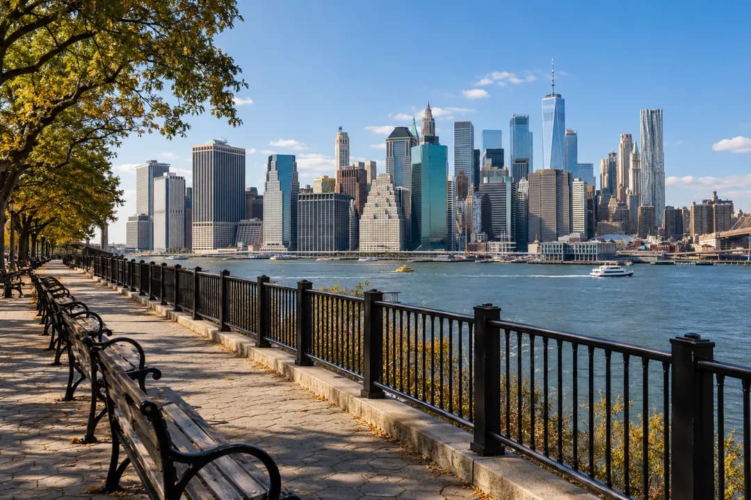
To reach the elevated Promenade from Joralemon Street, turn north onto Hicks Street, continue to Remsen Street, and turn west to the Promenade's southern entrance. Do not continue downhill to the foot of Joralemon and assume it joins the elevated walkway. The waterfront park below and the Promenade above the expressway are different walking levels. Once on the Promenade, pause before taking photographs and compare the height of your viewpoint with the river below. Continue north to the Pierrepont Street exit for the next part of this walk. A street map is useful at these transitions because a nearby waterfront line on a map can conceal a substantial change in elevation. The NYC Parks Promenade page identifies the public space. The accompanying waterfront illustration is a general mood image and should not be used to identify the Promenade, locate an entrance, or judge the route's accessibility.
Pierrepont Street and the Return to Hicks
Leave the Promenade at Pierrepont Street and continue east, using the streetscape as an architectural comparison rather than a checklist of celebrity homes. Observe how setbacks, stoops, railings, and the width of each facade change from one property to the next. These details can be studied from the pavement without entering a forecourt. The historic library building at Pierrepont and Clinton provides a different civic scale from the residential blocks. Keep any interior visit separate from the walking sequence. From Pierrepont, return west to Hicks Street and head north toward Orange Street for Plymouth Church. This short connection matters more than a string of impressive building descriptions: it gives you a clear way from the overlook back into the neighborhood. If you prefer a shorter walk, make the Promenade your endpoint and return toward Borough Hall using the public streets instead of adding the church and Willow Street section.
Plymouth Church and Underground Railroad Heritage
Plymouth Church is an important place to consider both abolitionist action and the limits of historical evidence. Its own account describes the church's connection with the Underground Railroad and carefully attributes possible hiding in its tunnel-like basement to oral tradition and published memoirs. That is not proof of a subterranean tunnel network linking the neighborhood. Read the church's Underground Railroad account with that difference in mind. Henry Ward Beecher's antislavery ministry gives this stop its historical focus, but a visitor on the public sidewalk cannot inspect every story associated with the building. Keep the pause outside unless you have separately arranged a visit. A useful note has two parts: what the church records about its past, and what you can actually see today. Respect people attending services and keep gates, steps, and doorways clear while discussing the site with companions.
Willow Street and a Slower Residential Finish
Finish with Willow Street as a residential streetscape, without adding unsupported claims about who lived next door to whom. From Orange Street, walk west to Willow Street and head south, then use a cross street to return east toward transit when you are ready. The houses remain private homes, so examine the rhythm of entrances and windows from the public pavement. There are slopes and uneven surfaces on this itinerary, and the earlier Joralemon section should rule out any blanket promise that the whole walk is flat or suitable for every level of mobility. Travelers who need a step-free route should plan around their own access requirements using a current street map. Ask the Karpo APP for plans matching a quieter neighborhood walk and your group's preferences. Both images in this guide are AI-generated illustrations. They are not site photographs, historical evidence, or a reliable record of the exact waterfront level shown.
Ask Karpo for more information.
Keep reading
- SoHo Tailor Alteration Shop Finder for Sample Sale Finds
 Williamsburg Tailor Alteration Shop Finder for Bike Riders
 Upper West Side Tailor Alteration Shop Finder for Kids