 Flatiron Holiday Window Walk Planner for Remote Teams
Free Things to Do
Williamsburg Historic Plaza Fountain Walk: South Side Route
Discover historic plaza fountain walks in Williamsburg from Continental Army Plaza to Grand Ferry Park. Map shaded waterfront pedestrian loops on Karpo APP.
Taking a historic plaza fountain walk through South Williamsburg uncovers a fascinating industrial and civic heritage rooted in the opening of the Williamsburg Bridge. Starting at the expansive pedestrian esplanade of Continental Army Plaza and continuing toward the restored shoreline parks along the East River, this walking circuit connects monumental civic stonework with maritime history. Paved stone plazas, historic shade trees, and sweeping water views make this Brooklyn corridor an essential walking destination.
Continental Army Plaza Monument and Design
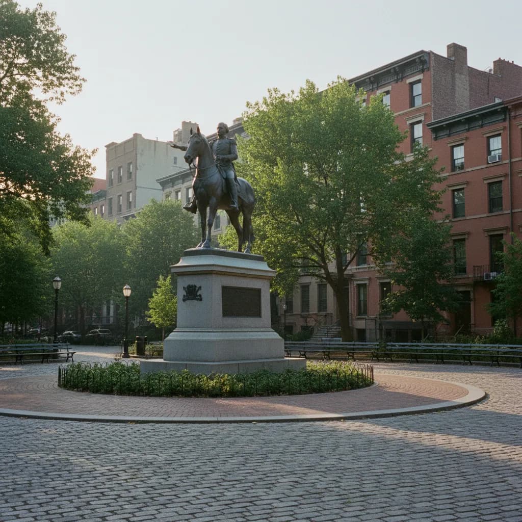
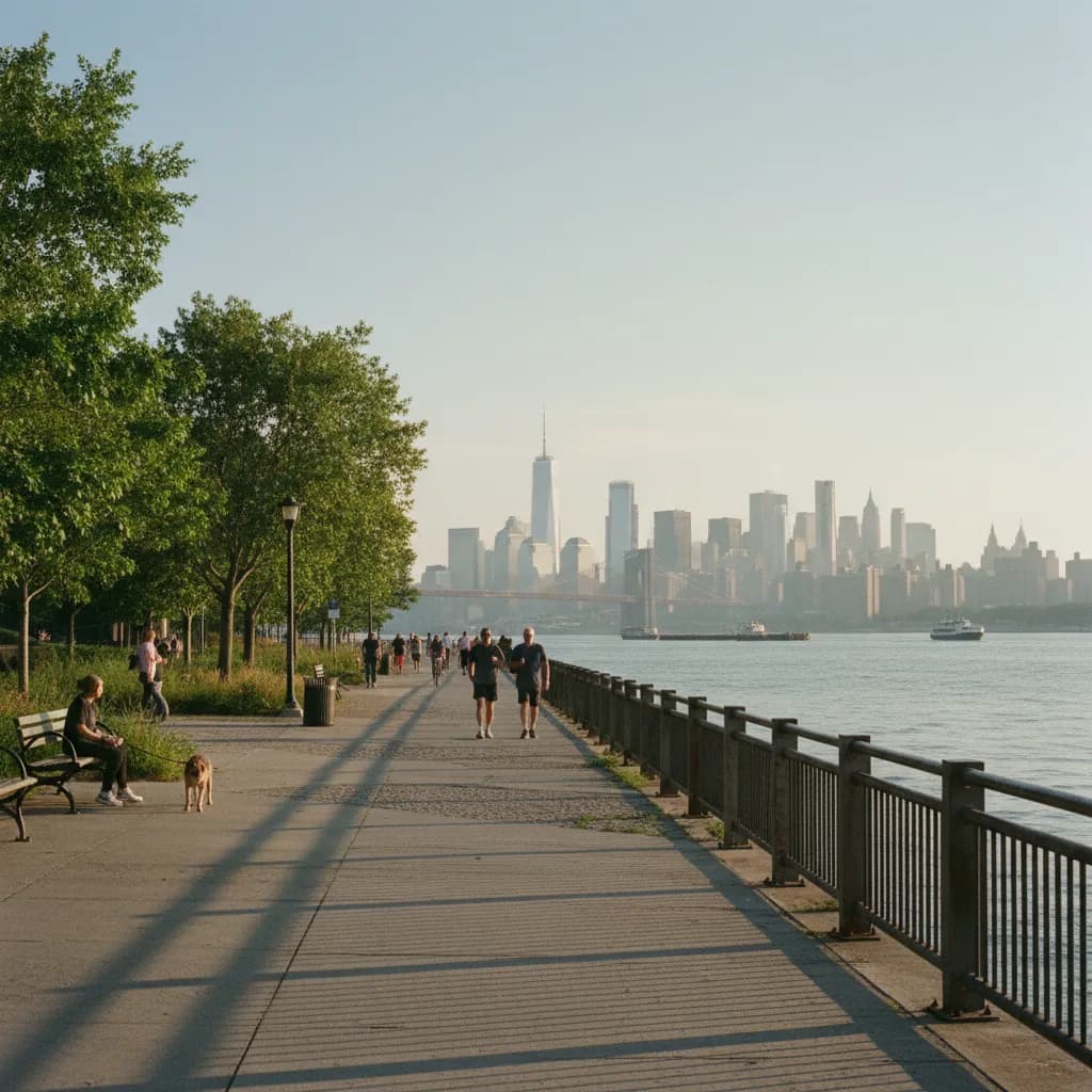
Continental Army Plaza, situated at 100 Roebling Street at the foot of the Williamsburg Bridge approach, was planned in the early 1900s as a grand civic entryway for Brooklyn. The centerpiece is the heroic bronze equestrian statue of George Washington at Valley Forge, sculpted by Henry Merwin Shrady and dedicated in 1906. Broad paved promenades and ornamental granite planters flank the monument, designed to channel pedestrian movement gracefully across the bustling bridge terminal. The massive stone pedestal anchors the triangular space with commanding presence.
Surrounding the monument base, carved stone retaining walls and architectural decorative water basins reflect the City Beautiful movement's influence on Brooklyn's early twentieth-century street grid. Mature London planetrees frame the western perimeter, casting expansive geometric shadows across the hexagonal concrete pavers during early morning hours. The plaza provides generous open sightlines toward the soaring steel suspension towers of the Williamsburg Bridge, creating an unforgettable urban tableau. Pedestrians can sit along the granite curbing to take in the impressive scale of civic engineering. The expansive paved plaza provides ample room for visitors to pause, take photographs of the monumental equestrian bronze, and appreciate the early twentieth-century civic ambition that linked Brooklyn to Manhattan.
From Roebling Street to Riverfront Promenades
From Continental Army Plaza, proceed westward along South 4th Street toward the waterfront, descending gradually toward Kent Avenue. This quarter-mile stretch passes landmark nineteenth-century industrial masonry, including former sugar refineries and cast-iron warehouses that have been thoughtfully repurposed into creative studios and lofts. Wide sidewalks and low-traffic cross streets provide an unhurried route for contemplative walking. The historic red-brick facades feature intricate arched window details and vintage painted commercial signage.
Arriving at Grand Ferry Park at 50 Grand Street brings you to an authentic shoreline plaza marking the historic terminal of the nineteenth-century East River ferry boats. Historic cobblestones, preserved rail tracks, and weathered timber piers frame panoramic water vistas stretching across to the Lower Manhattan skyline. The rhythmic lapping of river waves against stone riprap revetments offers a refreshing maritime auditory backdrop to your urban walk. Sitting on the reclaimed timber benches provides an ideal moment to enjoy the expansive river breeze. Interpretive historical markers along the riverfront describe the industrial maritime commerce that flourished here before the waterfront was dedicated to public parkland and open community recreation.
Paving Materials, Shaded Perimeters, and Rest Stops
Throughout both Continental Army Plaza and the waterfront esplanades, generous public benches are securely anchored into solid granite bases, inviting walkers to rest and observe the surroundings. The river breeze maintains crisp airflow, ensuring refreshing comfort even on bright summer mornings. Wide perimeter walkways easily accommodate runners, leashed dogs, and casual strollers without spatial friction. The combination of leafy tree canopies and open river exposure gives this walking route diverse microclimates.
Exploring these civic plazas is completely free, requiring $0 admission for all public spaces and historical monument viewing areas. Seasonal public comfort stations and water fountains are maintained within adjacent park facilities along Kent Avenue. Historical interpretive panels installed along the shoreline describe the role of nineteenth-century maritime transportation in shaping Brooklyn's industrial prominence. The well-kept public amenities ensure that visitors can linger comfortably without needing commercial purchases.
Transit Hubs and Bridge Approach Pathways
Reaching Continental Army Plaza is highly efficient via the Marcy Avenue transit station on the J, M, and Z trains, located just four blocks east along Broadway. Alternately, passengers riding the L train can exit at Bedford Avenue and enjoy a picturesque eight-block southward stroll through the historic neighborhood. Subway access costs the standard $2.90 fare, avoiding expensive vehicle parking hassles along crowded Brooklyn streets. The elevated train tracks along Broadway lend an authentic historic Brooklyn atmosphere to the approach.
The south pedestrian walkway of the Williamsburg Bridge connects directly to the plaza, allowing walkers to complete an invigorating inter-borough crossing on foot. For cyclists, dedicated bike pathways on Roebling Street interface smoothly with the plaza perimeter without crossing active vehicular lanes. Abundant municipal bike parking racks border the plaza, providing secure locking options during park visits. Clear directional signage directs pedestrians toward waterfront parks and neighborhood greenways.
Customizing Waterfront Walks in Karpo APP
Karpo APP provides essential routing guidance for stitching together Brooklyn's historic civic monuments and scenic waterfront plazas into coherent loops. The application displays up-to-date pedestrian pathways, elevation transitions, and quiet neighborhood corridors away from delivery traffic. You can evaluate walking durations and select custom circuits based on your energy and interests. The visual route mapping makes exploring both inland civic squares and shoreline esplanades straightforward and stress-free.
The app also highlights historic landmarks, public sitting alcoves, and premier architectural viewpoints along the East River shoreline. Whether planning a brisk morning fitness walk or a relaxed weekend photographic excursion, Karpo APP keeps your routing organized and straightforward. You can save customized waypoints and share route summaries with walking partners effortlessly. It allows you to discover subtle historical markers that standard tourist maps often overlook.
South Side Heritage and Unrushed Detours
Before completing your morning outing, take a detour along Havemeyer Street and Division Avenue to observe the rich cultural fabric of South Williamsburg. Historic nineteenth-century bank buildings featuring Corinthian limestone colonnades, such as the Williamsburgh Savings Bank at 175 Broadway, stand as testaments to the area's financial heritage. Quiet tree-canopied residential blocks feature handsome brownstones with ornate iron stoops. The peaceful side streets invite unhurried exploration away from retail corridors.
Conclude your morning with an artisanal pour-over coffee or fresh pastry from an independent roastery along Berry Street. The neighborhood's unique blend of monumental bridge infrastructure, historic park plazas, and evolving waterfront spaces provides an enriching walking experience. Returning to Roebling Street offers a final view of the Washington monument framed against the open morning sky. The enduring stone monuments and expansive vistas make South Williamsburg an unforgettable walking destination.
Ask Karpo for more information.
Keep reading
- Flatiron Holiday Window Walk Planner for Remote Teams
 SoHo Holiday Window Walk Planner for a Sketchbook Afternoon
 Upper East Side Holiday Window Walk Planner After a Museum