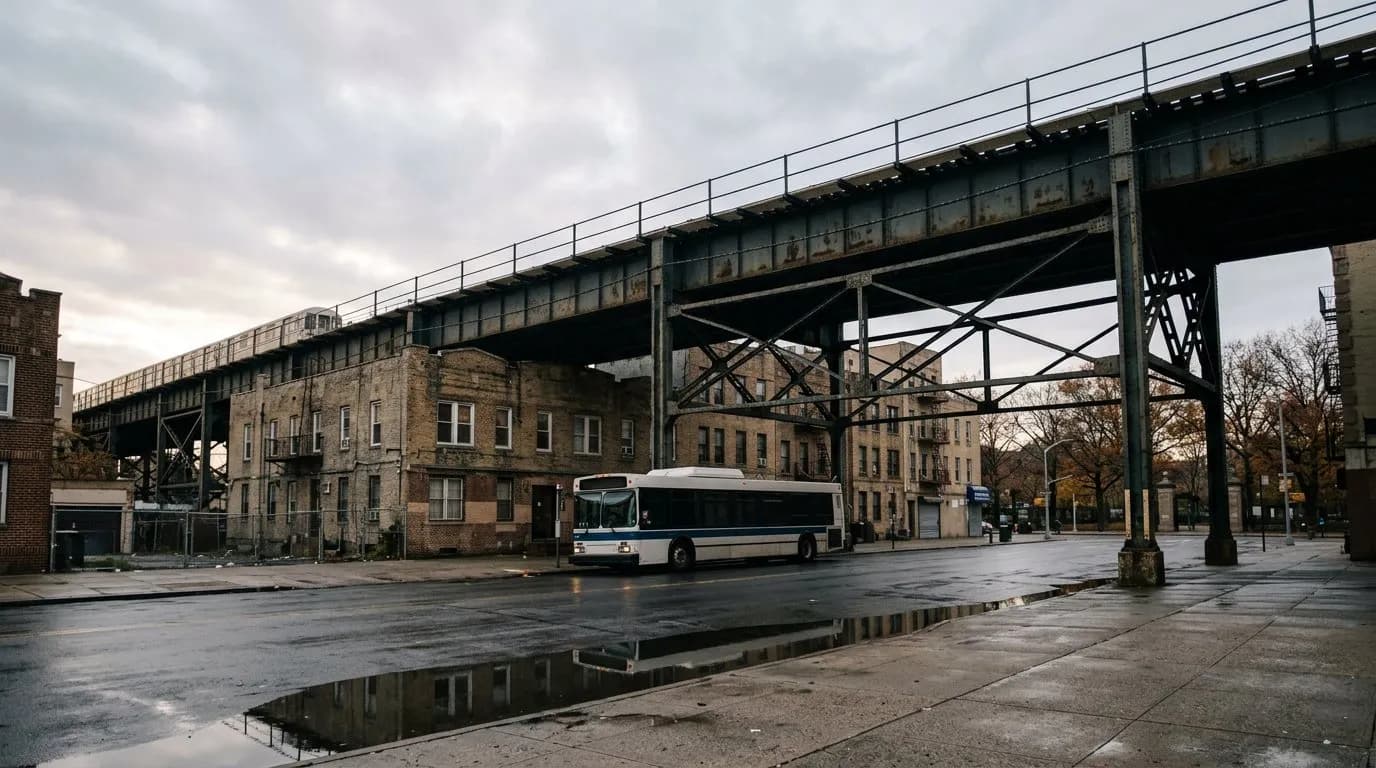
Step off the elevated J train at Woodhaven Boulevard and the platform rattles with express trains and idling buses. Walk a few minutes south, though, and the noise drops away into 500 acres of oak forest older than the subway line itself. Forest Park draws under a million visitors a year, a strange contraction for a wild space this close to Manhattan. The gap between the racket at the station and the quiet inside the tree line is the whole story here.
Karpo has the Woodhaven Blvd walk time from your exact platform, which loop fits the daylight you've got left, and whether the Strack Pond detour is worth the extra twenty minutes today.
A quiet forest hiding behind an elevated subway platform
The contradiction starts before you've left the station. The J/Z line runs elevated above Jamaica Avenue, and the platform at Woodhaven Boulevard is as loud as outer-borough transit gets — steel wheels on steel track, buses idling below, Myrtle Avenue traffic threading past. None of that suggests a walk into old-growth forest is a few minutes away.
Yet Forest Park gets roughly 900,000 visitors a year, a modest figure for a 500-plus acre park sitting inside the city limits. Part of the reason is structural: no subway line runs directly into the park, so it takes a deliberate walk rather than a station exit to arrive. That small friction seems to be enough to keep the forest quieter than its size would suggest.
Where to actually enter, and why Woodhaven Boulevard wins
The Woodhaven Blvd station serves the J/Z on the elevated BMT Jamaica Line, with the M/R/E/F reachable a bit farther off on the IND Queens Boulevard Line. From either, it's roughly a four- to seven-minute walk to the park's Woodhaven Blvd/Forest Park Drive entrance, though the exact time depends on which station exit and street crossing you take, so it's worth confirming against the specific route before you set out.
This entrance is the practical trailhead for both the Orange and Blue loops, and it has one advantage over the park's other access points: clean public restrooms right at the trailhead area. For a park with limited facilities elsewhere, that alone is a reasonable argument for starting here rather than at Metropolitan Avenue or one of the smaller residential entrances.
The Orange Trail loop through 165 acres of old oak
The Orange Trail is the fullest way to see what the park is actually built on. It runs 2.4 miles, starting near the Memorial at Forest Park Drive, circling the perimeter of the forest and looping through the historic Pine Grove — call it 45 to 50 minutes at an easy walking pace, longer if you stop. It's popular with runners and horseback riders as well as hikers, and it's generally described as an easy, well-used route rather than a technical one.
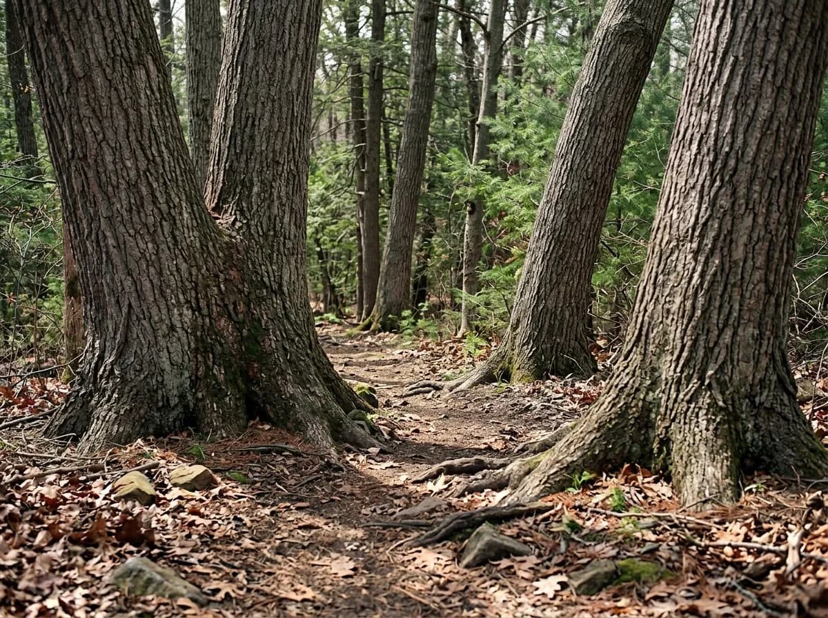
What you're walking through is the largest continuous stand of oak in Queens: 165 acres of northern red oak, scarlet oak, and shagbark hickory, some individual trees more than 150 years old, with dogwood and mapleleaf viburnum filling the midstory. The Pine Grove itself is younger and more orderly — straight rows planted in 1914 after chestnut blight wiped out an earlier stand in 1912, though a handful of surviving specimens nearby date back to 1909 and predate the blight entirely.
Strack Pond, a glacial kettle worth the short detour
Opposite the Bandshell parking lot sits Strack Pond, a small reclaimed kettle pond named for a Woodhaven resident killed in the Vietnam War. A quarter-mile dirt loop circles it through wetland vegetation, and it's quieter than the main loops simply because it's a dead-end detour rather than a through-route.
It's also a reliably good stop for birders, particularly during spring and fall migration, when the pond's edge draws species that skip the drier forest interior. The park's 93-acre Gully, a deeper glacial depression elsewhere in the park, plays a similar role — both are reminders that Forest Park functions as one of the last stretches of relatively undisturbed forest habitat left in the city.
The Blue Trail and the moraine's rise and fall
The Blue Trail runs 1.75 miles, starting off Woodhaven Boulevard on Forest Park Drive, and it's the route that puts the park's underlying geology most directly underfoot. Shared with the bridle path in places, it undulates through small rounded hills and shallow depressions — the 'knob and kettle' terrain left behind when the Wisconsin glacier retreated roughly 20,000 years ago and formed the Harbor Hill Moraine.
Forest Park Drive itself runs along the crest of that moraine, and in winter, once the canopy drops its leaves, the road opens onto a genuinely long view — reportedly stretching some ten miles south to Rockaway Beach. It's not a lookout most people associate with Queens, which is exactly why it's worth timing a walk here for a bare-tree afternoon rather than midsummer.
What predates the trails: a clubhouse, a carousel, and a links course
The Oak Ridge building, a Dutch Colonial structure from 1905, was originally the clubhouse for the 110-acre, par-67 golf course next door — a Scottish links-style layout considered one of the tougher rounds in the city, and it now serves as the park's administration building. Nearby, the Overlook, finished in 1912 in Spanish Mission style, houses NYC Parks' Queens borough operations and was deliberately sited for its view.
The Forest Park Carousel, carved by Daniel C. Muller, is one of only two surviving carousels by that maker and has been on the National Register of Historic Places since 2004. The George Seuffert, Sr. Bandshell hosts free seasonal concerts, seating somewhere between roughly 2,800 and 3,200 depending on which count you use, with parking for about 298 cars — worth checking the current summer schedule if a concert is part of the plan.
Trail signage is inconsistent — carry the map anyway
The park's Visitor Center, staffed by NYC Parks' Urban Park Rangers, sits at the intersection of Woodhaven Boulevard and Forest Park Drive and is the place to ask about current conditions. The separate Forest Park Nature Center is currently listed as closed to the public, which is worth confirming before building a visit around it.
On the ground, trail blazes don't always match expectations — at least one recent hiker noted the path wasn't marked well even with a downloaded map open. The safer approach is to carry the official PDF trail guide rather than rely purely on painted markers, especially on the longer Orange and Blue loops. For a shorter, low-risk option, the Yellow Trail is a straightforward one-mile loop starting from Metropolitan Avenue.
Practical notes
Forest Park's main hub sits at Oak Ridge, One Forest Park, Woodhaven, NY 11421, though the park spans zip codes 11375, 11385, 11415, 11418, and 11421 across Woodhaven, Richmond Hill, Kew Gardens, Forest Hills, and Glendale. It's open year-round with no admission fee. The Woodhaven Blvd/Forest Park Drive entrance, near the J/Z Woodhaven Blvd station, is the most practical trailhead for the Orange and Blue loops and has public restrooms; the Yellow Trail starts near Metropolitan Avenue. Buses Q11, Q21, Q29, Q53-SBS, and Q55 stop along Myrtle Avenue and Woodhaven Boulevard at the park's edges. No booking is required; bring the official trail map rather than relying on on-site signage.
Tags: #ForestPark #QueensHiking #NYCHikingTrails #FreeThingsToDoNYC #WoodhavenBlvd #GlacialTerrain #OrangeTrailLoop #StrackPond #OldGrowthOak #OuterBoroughOutdoors #SubwayToTrailhead #QueensNature #PineGroveNYC #UrbanHiking
All trademarks are the property of their respective owners.
Ask Karpo first
Wondering whether the Woodhaven Blvd entrance is really the fastest way in from your platform, or whether Strack Pond is worth the detour today given the light you've got left? Ask Karpo for the current walk time from your exit and which loop fits your remaining daylight.