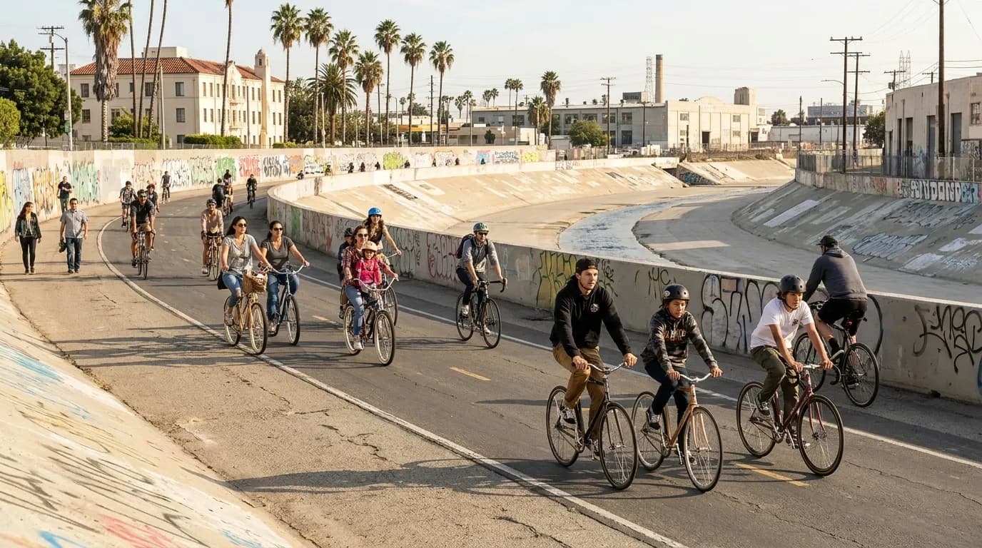
The cultural energy around BMX riding and urban cycling—exemplified by figures like Nigel Sylvester—has helped reshape how cities think about bike infrastructure and neighborhood connectivity. Los Angeles, long known as a car-centric metropolis, has quietly built out hundreds of miles of bike lanes, protected paths, and neighborhood greenways that make two-wheeled exploration both practical and safe. This route draws inspiration from that street-riding spirit while prioritizing legal pathways, beginner accessibility, and real-world logistics like rest stops, bike rentals, and transit connections. Whether you're a confident road cyclist, a casual cruiser, or someone testing out LA on two wheels for the first time, this guide offers a flexible framework for experiencing the city's evolving bike culture without the guesswork.
Every rider's needs are different—your starting neighborhood, bike type, confidence level, group size, preferred distance, and rental requirements all shape the ideal route. Karpo tailors Los Angeles cycling itineraries to your specific situation, mapping legal paths with rest stops and transit-friendly exits so you can focus on the ride, not the planning. Tell us your details, and we'll build a route that works for you.
Understanding LA's Bike Infrastructure
Los Angeles County maintains an extensive network of bike paths, lanes, and routes documented by the Department of Public Works. Protected bike lanes—physically separated from car traffic—are the safest option for beginners and can be found along major corridors in Downtown, Koreatown, and the Westside. Neighborhood greenways use traffic-calming measures and signage to create low-stress routes through residential areas. Shared-use paths, like the LA River bike path and Ballona Creek trail, offer car-free riding but may have limited access points and fewer services nearby. Before you ride, check current lane conditions and closures through LA County's bike portal, as construction and events can temporarily alter routes. Always follow California Vehicle Code rules: ride with traffic, obey signals, use lights after dark, and yield to pedestrians.
Choosing Your Starting Neighborhood
Your starting point determines route character and logistics. Downtown LA offers dense bike-lane coverage, Metro connectivity, and numerous rental options, but traffic intensity can challenge newer riders during weekday rush hours. Mid-City and Koreatown provide a middle ground with good infrastructure and diverse rest-stop options. Venice and Santa Monica deliver beach access and dedicated paths but can be crowded on weekends and holidays. Silver Lake and Echo Park offer hillier terrain with neighborhood charm, suitable for riders comfortable with elevation changes. If you're arriving by transit, choose a starting point near a Metro Rail station with bike-car availability or bus lines equipped with front racks. Weekend mornings generally offer the calmest traffic conditions across all neighborhoods.
Bike Types and Rental Considerations
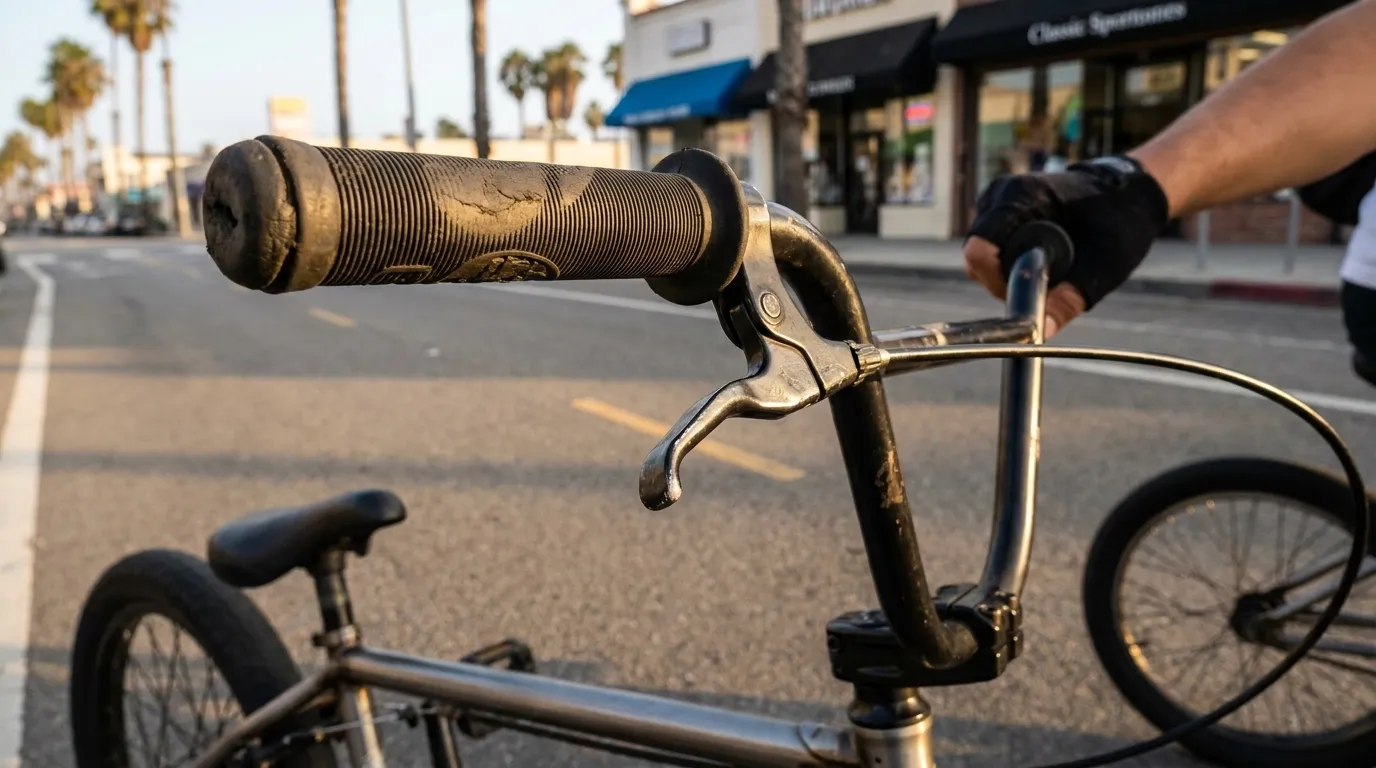
Your bike choice affects route feasibility and comfort. Road bikes and hybrids work well on paved bike lanes and paths throughout the city. Cruisers are ideal for flat beach routes and casual neighborhood rides but struggle with hills and longer distances. Mountain bikes handle varied terrain but may feel sluggish on smooth pavement. E-bikes extend range and flatten hills, making them excellent for beginners or mixed-ability groups, though they require familiarity with motor-assist controls. LA's bike-share system offers standard and electric bikes at stations across multiple neighborhoods; check current service areas and pricing before relying on this option, as availability fluctuates. Independent rental shops provide better bike selection and staff guidance but require advance reservation during peak seasons. Always test brakes, gears, and tire pressure before departing, and confirm the rental includes a helmet and lock.
Sample Route Framework: Mid-City to Culver City
This moderate route covers approximately 10-12 miles round-trip with minimal elevation gain, suitable for beginners and mixed groups. Start near the Expo Line La Cienega/Jefferson station, where you can arrive by Metro with your bike. Head west on the Exposition Bike Path, a protected corridor that parallels the light rail through Mid-City and into Culver City. The path is fully separated from car traffic, well-marked, and mostly flat. Plan a rest stop at Baldwin Hills Scenic Overlook (note: the overlook itself requires a steep climb, but the base has restrooms and water). Continue west to downtown Culver City, where you'll find cafes, bike racks, and public restrooms near the Culver City Metro station. Return via the same path or explore neighborhood streets with bike lanes if your group is confident with mixed traffic. Total riding time is typically 90 minutes to two hours, plus rest stops. This route works year-round but is most comfortable in morning or late afternoon to avoid midday heat.
Rest Stops and Practical Needs
- Public restrooms: Available at Metro stations, public parks, and some commercial districts; not all are consistently maintained or open after hours
- Water refills: Bring a bottle and plan stops at parks, libraries, or cafes; public fountains are uncommon and may be turned off
- Bike parking: Use U-racks in commercial areas and always lock your frame and wheels; avoid leaving bikes unattended for extended periods
- Mechanical issues: Carry a spare tube, tire levers, and a pump or CO2 cartridge; mobile bike repair services operate in some areas but require advance booking
- Weather: LA's mild climate is deceptive—sun exposure, wind, and occasional heat spikes require sunscreen, layers, and hydration planning
Transit-Friendly Exits and Group Logistics
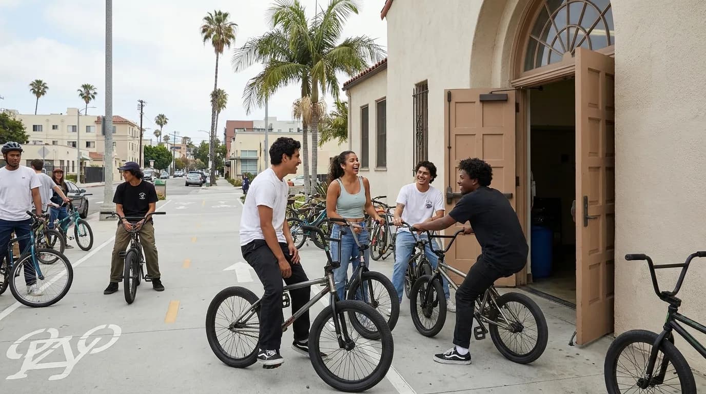
Planning an exit strategy is essential, especially for beginners or groups with varying stamina. Metro Rail lines allow bikes on all trains outside of peak hours (generally weekdays 6:30-8:30 AM and 4:30-6:30 PM), and each train car has designated bike areas. Metro buses with front racks accommodate two bikes on a first-come basis, but space is not guaranteed during busy periods. If someone in your group needs to bail early due to fatigue or mechanical issues, identify the nearest Metro station or major bus stop along your route beforehand. For larger groups, consider splitting into smaller clusters based on pace and confidence level, with designated regroup points every 30-45 minutes. Always carry a charged phone, emergency contact information, and basic first-aid supplies. If conditions change—weather, traffic, or rider ability—adjust your route or distance rather than pushing through discomfort.
Connecting to LA's Broader Bike Culture
Los Angeles' cycling community extends well beyond infrastructure. CicLAvia, a nonprofit organization, hosts regular open-streets events that temporarily close major roads to cars, creating car-free spaces for cyclists, pedestrians, and skaters. These events are ideal for beginners and families, offering a low-stress introduction to LA neighborhoods without the usual traffic concerns. Check CicLAvia's schedule when planning your visit, as event routes change and typically occur on Sundays. Local bike shops often organize group rides with varying difficulty levels and can provide current information on route conditions and neighborhood cycling culture. The LA County Bicycle Coalition advocates for safer infrastructure and maintains resources for riders navigating the city's evolving network. Engaging with these community resources helps you ride more confidently and understand the ongoing work to make Los Angeles more accessible to cyclists of all backgrounds and abilities.
Tags: Los Angeles cycling routes, LA bike lanes, beginner bike routes Los Angeles, Nigel Sylvester, BMX culture, LA bike rentals, Metro bike access, CicLAvia, protected bike paths, neighborhood cycling guides, LA bike infrastructure, safe cycling routes, urban bike culture
Tell Karpo your starting neighborhood, bike type, confidence level, group size, preferred distance, and whether you need a rental. We'll map a legal Los Angeles route with rest stops and a transit-friendly exit.
Sources consulted: nigelsylvester.com · ciclavia.org · pw.lacounty.gov
All trademarks are the property of their respective owners.
Ask Karpo first
Tell Karpo your starting neighborhood, bike type, confidence level, group size, preferred distance, and whether you need a rental. We’ll map a legal Los Angeles route with rest stops and a transit-friendly exit.