The assumption that you need a car to see waterfalls and nature near San Francisco is wrong in a specific and useful way. The Bay Area's transit network was built around commuting, but several of its termini happen to sit next to genuinely wild open space, and a handful of bus routes run deliberately into the hills. The result is that a reasonable number of serious trailheads are reachable in under ninety minutes from the middle of the city with no vehicle at all.
Weekend-only routes and seasonal shuttles change the whole map. Ask Karpo what is running today before you commit to a plan.
Start with the ferry, which is the best of them
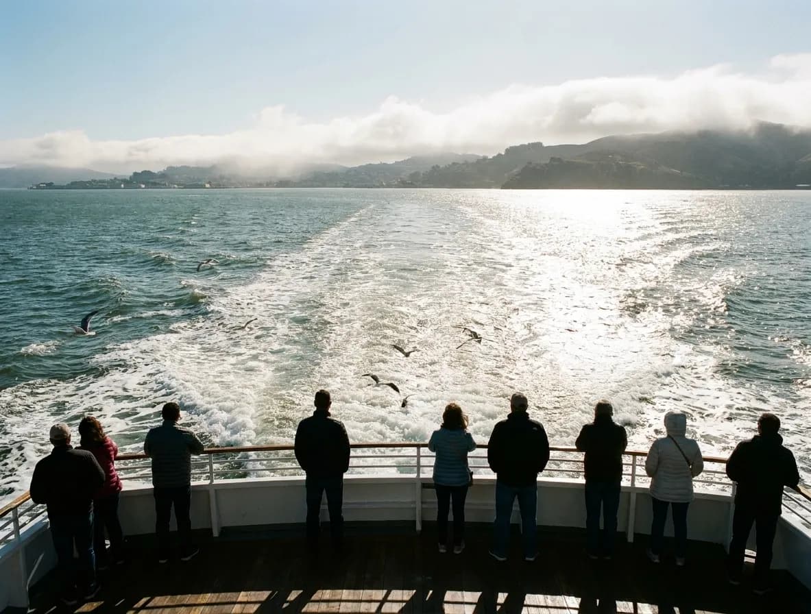
The Sausalito and Larkspur ferries are not just transport, they are the most pleasant twenty-five minutes available in the region. From Sausalito you can walk or bike into the Marin Headlands, and the ridge trails above the town give you the bridge, the city and the open Pacific in one view. It is a genuine hike from a ferry terminal, which is a rare thing anywhere.
The Angel Island ferry is the other version and it is the most self-contained day out in the Bay Area. A five-mile perimeter road, a summit trail with a three-hundred-and-sixty-degree view, the remains of an immigration station with a serious and sobering history, and no cars on the island at all. It is one of the few places where the absence of a car is the point rather than the constraint.
Mount Tamalpais and the Marin routes
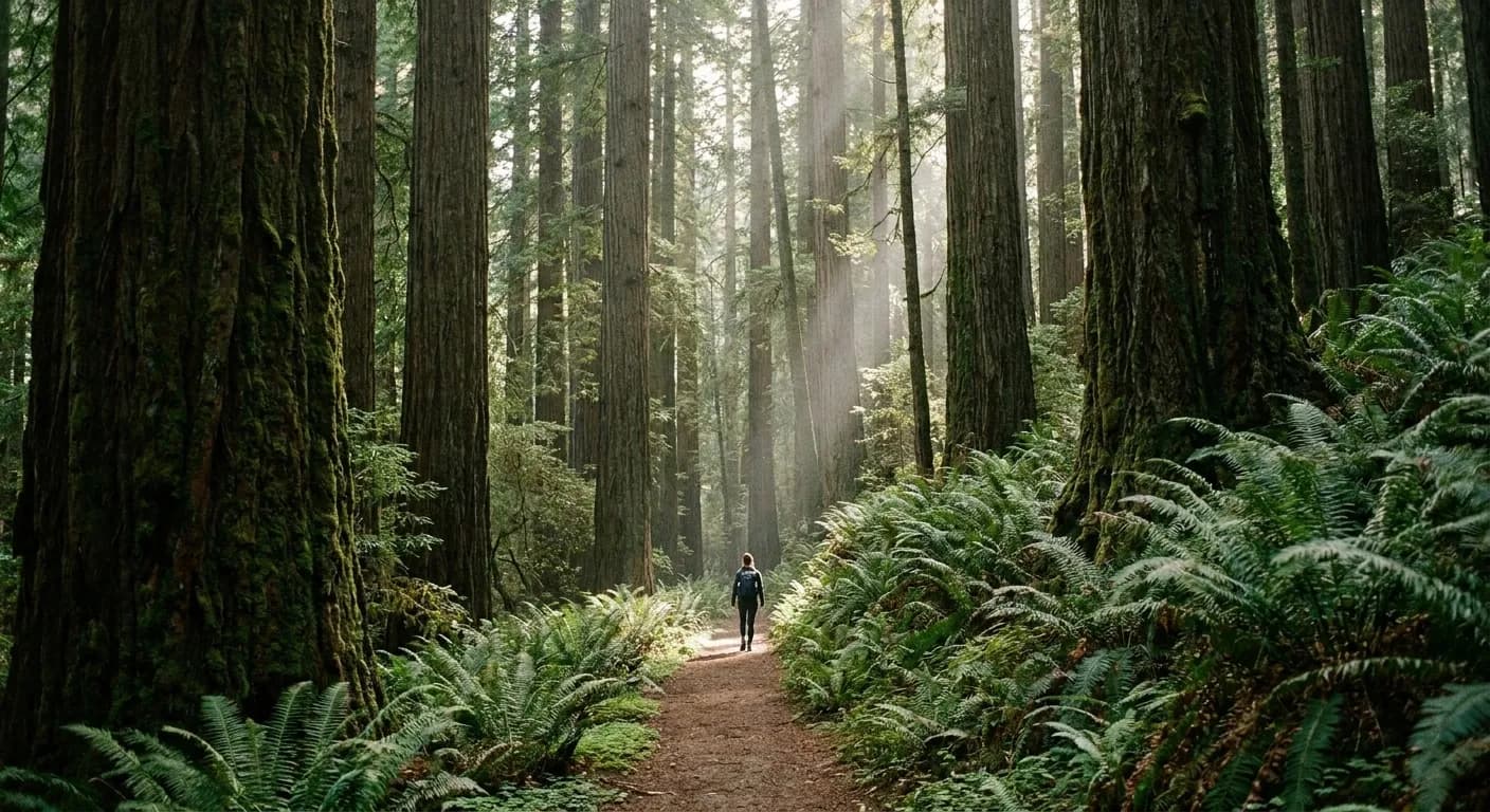
Mount Tam is the big one and it is reachable, though it takes planning. Marin Transit runs a route toward the mountain and a seasonal stagecoach service climbs higher on weekends, and combining the ferry with those buses puts you on the mountain's flanks. Cataract Falls, on the north-west side, is the closest thing to a real waterfall hike in the immediate Bay Area and it runs properly only in the wet season, roughly December through April.
Muir Woods deserves its own note because the access rules changed years ago and a lot of information online is out of date. Parking and the shuttle both require an advance reservation, there is no walk-up parking, and the shuttle from Sausalito is the practical car-free route. Book it before you leave. Turning up without a reservation means being turned away.
East Bay: BART puts you at the bottom of real hills
This is the most underrated part of the map. Several BART stations sit within a short walk or a single bus of substantial regional parkland. From the Berkeley and Orinda side you can get into the Berkeley hills and Tilden Regional Park, which has miles of trail, a botanic garden of California natives and a genuine ridgeline. From further out along the line, Redwood Regional Park and the Oakland hills open up, with old-growth-adjacent redwood groves that most visitors to the Bay Area never hear about.
The seasonal detail worth knowing: the East Bay hills are golden and dry from June to October and green from December to April. If you want the green, go in winter. If you want the waterfalls anywhere in this region, go in winter — these are rain-fed and most of them are dry by June.
Inside the city itself
San Francisco has more real open space than it gets credit for and all of it is on a bus line. Lands End has a genuine coastal trail with cliffs, cypress and the ruins of the Sutro Baths. Mount Sutro has a cloud forest of eucalyptus and fog drip in the middle of the city. Glen Canyon, tucked behind Diamond Heights, has a creek and a rocky gorge and feels startlingly unlike San Francisco. The Presidio has forest, coastline and a restored tidal marsh.
Bernal Hill and Corona Heights are the short versions — twenty minutes of climbing for a full panorama, both easily reachable and both free. For a weekday evening when you want air rather than an expedition, these are the correct answer.
Peninsula and further south
Caltrain runs down the peninsula and drops you within reach of open space that most people assume requires a car. From several stations you can connect to trails in the coastal hills, and the line continues to San Jose with regional parks off the far end. It is a slower proposition than the ferry or BART routes, and the connecting buses are thinner, but for a full day out it works.
The waterfall qualifier applies here too, and more strongly. The larger and more famous falls people picture when they search for this — the ones in the Santa Cruz mountains and further into the Sierra foothills — are genuinely difficult without a vehicle and are seasonal on top of that. Being honest about that saves a wasted Saturday: within transit range, expect creek-fed cascades in winter rather than year-round waterfalls.
Practical notes for a car-free day
Regional transit here is fragmented across many operators, and a single Clipper card covers essentially all of them, which removes most of the friction. Weekend service on the outer routes is thinner than weekday service and some of the recreational routes only run on weekends, which cuts both ways. And carry water, because trailheads on this side of the country very often have none, and the East Bay hills in particular are hotter and drier than the city you left an hour earlier.
Tags: #SanFrancisco #Hiking #BayAreaNature #MountTamalpais #MarinHeadlands #AngelIsland #MuirWoods #TildenPark #LandsEnd #CarFree #FreeThingsSF #Waterfalls #Outdoors
All trademarks are the property of their respective owners.
Ask Karpo first
Ask Karpo which trailheads near you around San Francisco are reachable by transit today, how long the trip takes, and whether the waterfalls are actually running this month.