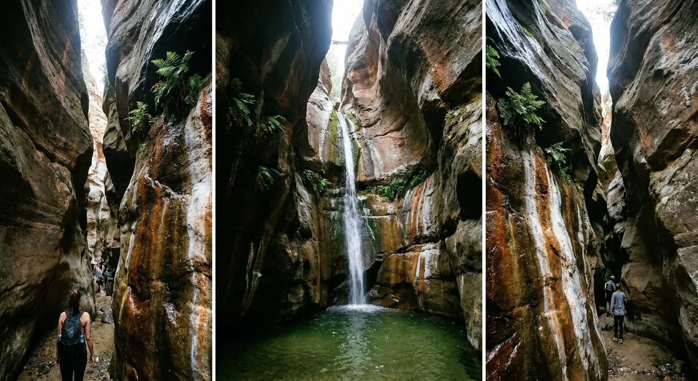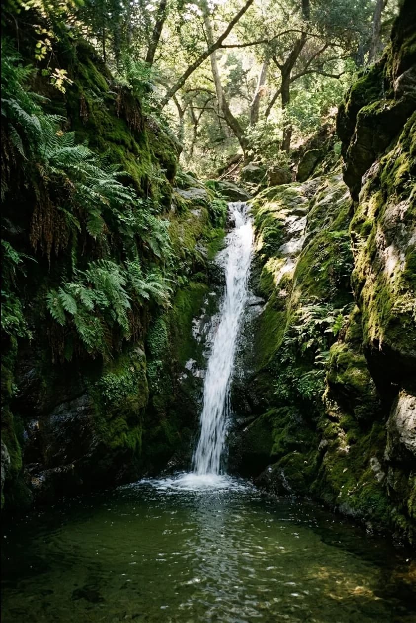
There is a strange gap between the reputation of nature near Los Angeles and the reality of it. The reputation is a handful of very crowded trails with permit systems and parking chaos. The reality is that this county contains a national forest, a national recreation area, several mountain ranges and hundreds of miles of trail, most of which has nobody on it on a Tuesday morning. Finding waterfalls and nature near Los Angeles is not hard. Finding the version without a queue takes one extra step.
Trail access closes for fire and storm damage with no notice. Ask Karpo what is actually open near you today.
The seasonal fact that governs everything
Waterfalls in Southern California are rain-fed and seasonal. They run from roughly December through April in a normal year, they are spectacular in the weeks after a big storm, and by July most of them are a damp streak on a rock. Any list that recommends a waterfall here without saying when to go is setting you up for a two-hour drive to see nothing.
The same seasonality applies to the landscape generally. The hills are green from January to April and gold and brown from June onward. Both are beautiful and they are completely different experiences, and knowing which you are driving toward is worth the thirty seconds it takes to check.
The Angeles National Forest, which most people ignore
Immediately north of the city there is a national forest with real mountains — peaks over ten thousand feet, pine forest, snow in winter, and a highway running along the crest of it. It is closer to central Los Angeles than most of Malibu and receives a fraction of the attention.
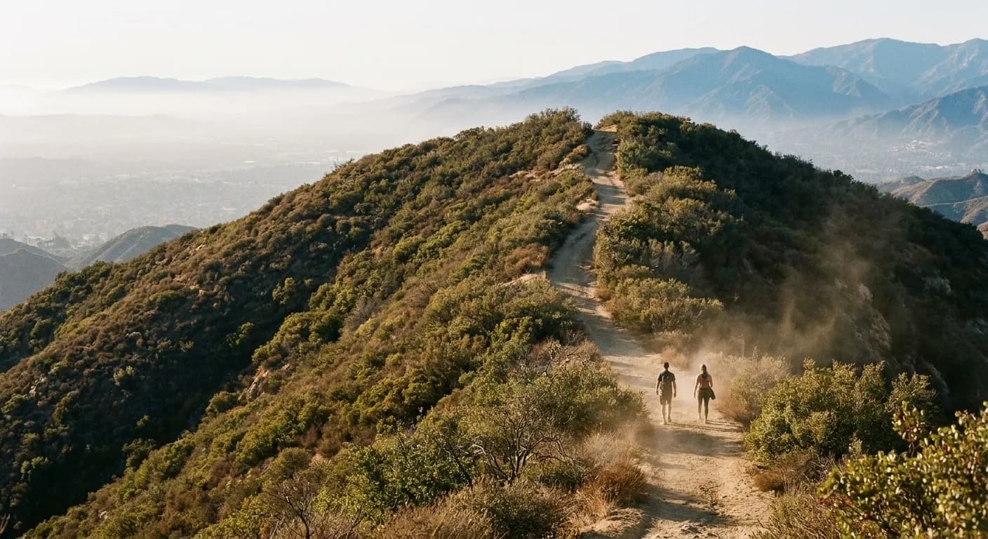
The lower canyons on the front range have creeks, small waterfalls and shaded trails that are pleasant even in summer. The higher country up the crest highway is genuinely alpine, twenty degrees cooler than the basin, and mostly empty on weekdays. An adventure pass or equivalent is required for parking at many trailheads, which is a small cost and catches people out.
The Santa Monica Mountains, away from the famous bits
The range running from Griffith Park west to Point Mugu is a national recreation area and is threaded with trails. The eastern end near the city is busy; everything west of Topanga thins out dramatically. Canyons like Zuma, Solstice and the trails inland from Point Mugu have creeks, shade and genuine solitude within an hour of the Westside.
Fire history is the thing to check here. Large sections of this range have burned repeatedly over the past decade and trail closures persist for years afterwards. The park service maintains current closure information and it changes often.
The eastern and northern edges
The San Gabriel Mountains behind Pasadena have the densest concentration of accessible canyon hikes in the county, several with waterfalls that run properly in winter and spring. The Verdugos, a small isolated range between Glendale and Burbank, have ridge trails with views across the whole basin and are almost always empty.
Further out, the Puente Hills and the Chino Hills on the eastern edge, and the Santa Susanas to the north-west, are large open spaces that essentially nobody drives to. These are not dramatic in the way the high mountains are, but they are quiet, close to residential areas, and green in spring.
Water, and the places you can actually get in
Swimming holes are the thing people most want and are hardest to advise on, because the good ones are seasonal, some are unsafe, and several of the best known have been closed or permit-restricted after years of overcrowding and rescues. The honest position is that this county has fewer safe, legal, accessible swimming holes than its geography suggests, and the ones that exist are in the higher canyons and only in spring.
What is reliably available instead is creek walking — following a shaded canyon bottom upstream, crossing back and forth, with pools deep enough to sit in. That is a genuinely lovely way to spend a spring morning here, it requires no permit, and it works in a dozen canyons across the front range once the winter rain has come through.
Griffith Park, which counts
It is worth saying plainly that the largest urban park in the country sits in the middle of this city and most residents use perhaps three of its trails. Griffith Park has over fifty miles of trail, genuine elevation, an old zoo ruin, an abandoned railway grade and long stretches where the city disappears entirely. The eastern and northern sections are near-empty even on weekends.
It is free, it is open from sunrise, and it is reachable by bus. For anyone who wants an hour of hills and quiet on a weekday morning without committing to a drive, it is the correct answer, and the fact that it is famous for one observatory and one sign has kept the rest of it usefully overlooked.
The habits that make it work
Go early. Trailhead parking across this county fills by nine on weekends and stays full, and the heat in the exposed chaparral becomes genuinely unpleasant by eleven for much of the year. A seven o'clock start changes both problems at once.
Carry more water than seems necessary — the standard advice here is more than in most places because the air is dry and the trails are exposed. Check for closures before leaving, because fire, flood and maintenance shut trails constantly and the information is not always reflected in mapping apps. And go on a weekday if you possibly can, because the difference between a Tuesday and a Saturday on any trail within an hour of this city is the difference between solitude and a procession. That single variable matters more than which trail you pick.
Tags: #LosAngeles #Hiking #Waterfalls #AngelesNationalForest #SantaMonicaMountains #SanGabriels #Verdugos #Trails #Outdoors #FreeThingsLA #SoCal #NatureNearLA #DayTrip
All trademarks are the property of their respective owners.
Ask Karpo first
Ask Karpo which trails near you around Los Angeles are open today, whether the waterfalls are running this month, and how early you need to leave for parking.