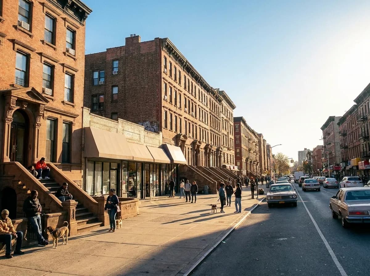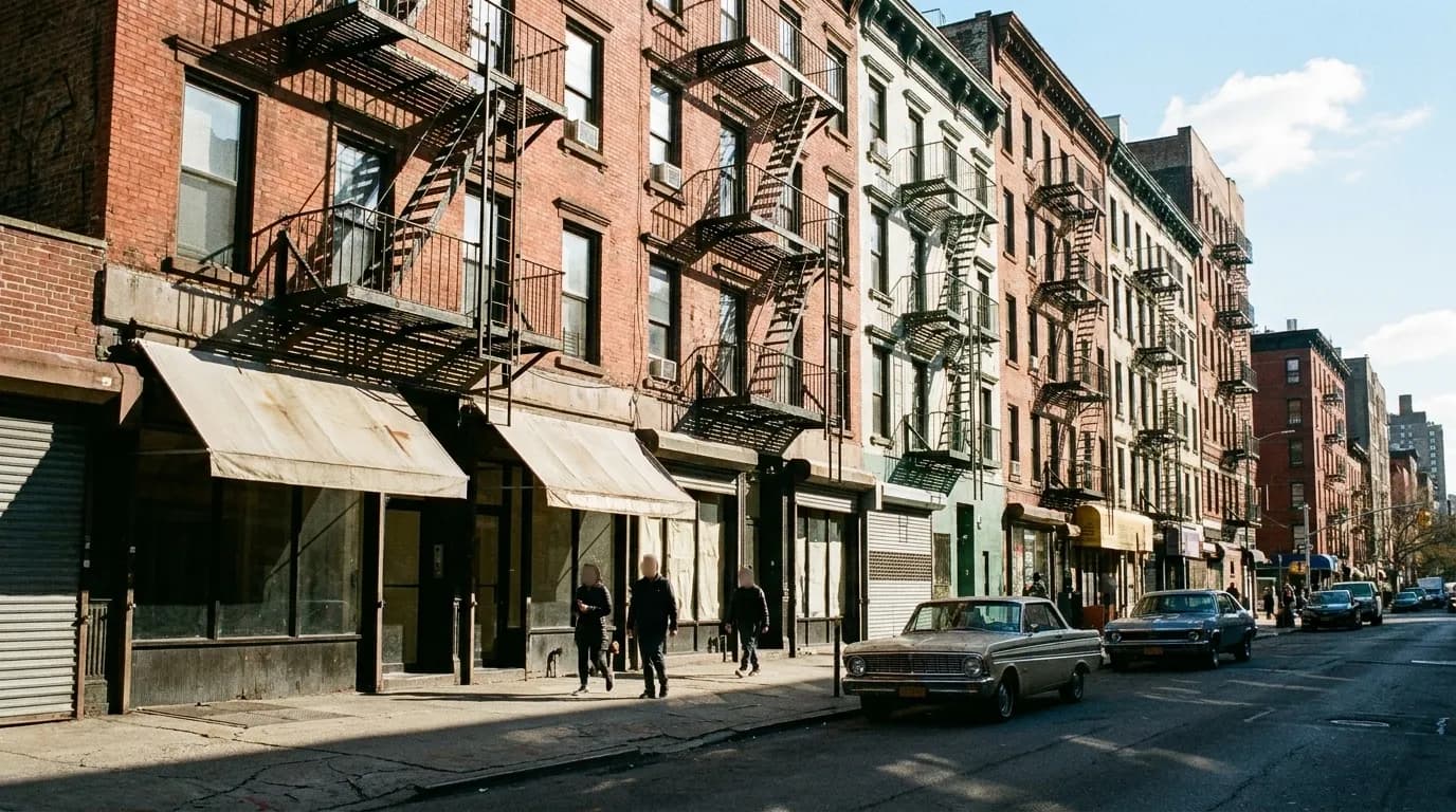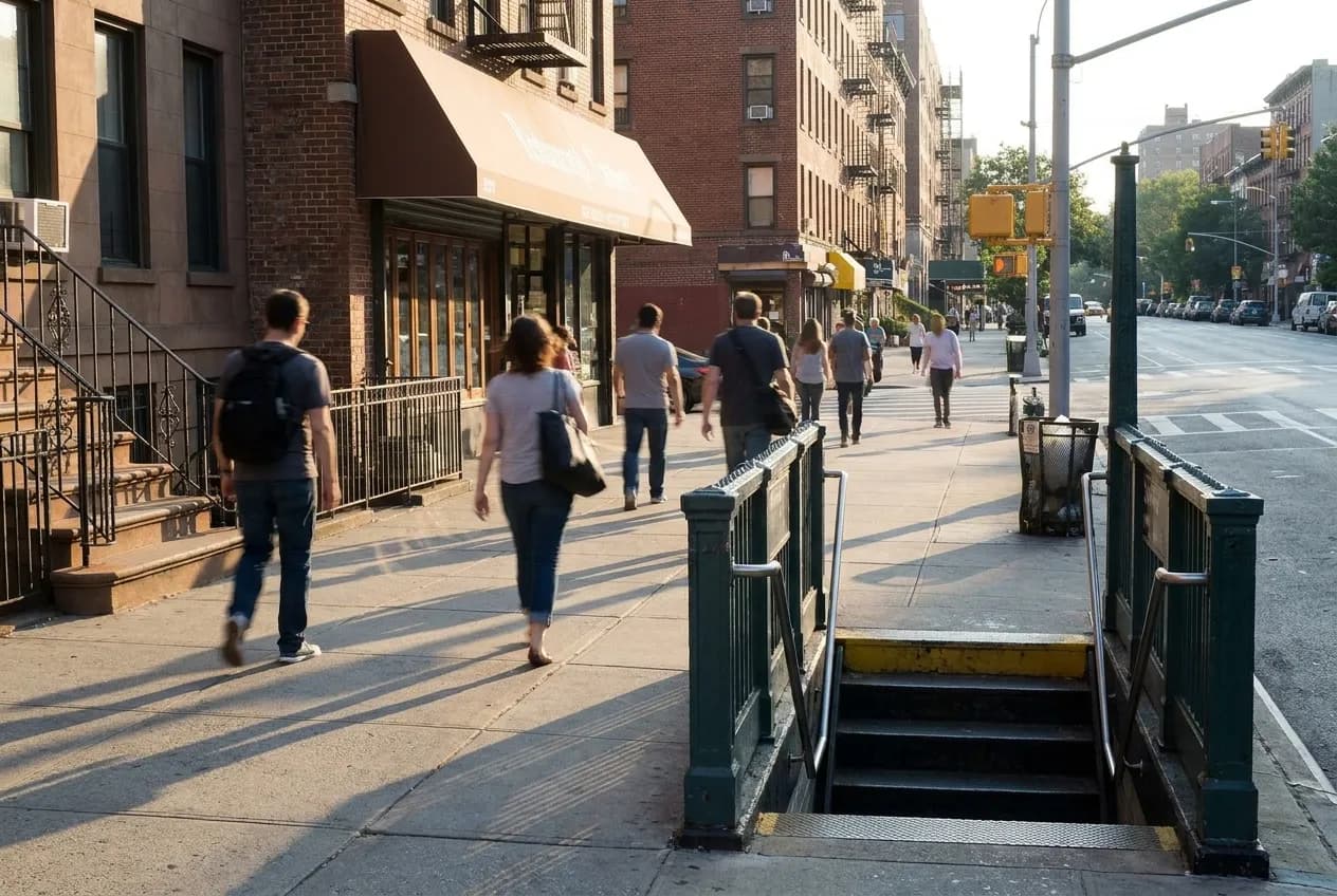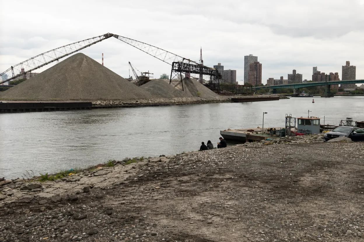
A Mott Haven waterfront loop works best as a flexible South Bronx pause, not a promise that every river edge is open. NYC DOT reports a Harlem River Greenway plan for a seven-mile walking and cycling corridor between Van Cortlandt Park and Randall’s Island Park, including Mott Haven and Port Morris, but that planning frame is not the same as a finished visitor route. Use the waterfront, murals, bridge views, parks, and nearby cultural leads as the spine. Before leaving on July 15, 2026, verify path access, weather, transit changes, gallery hours, and any construction that could reshape the walk.
Want a South Bronx walk that respects current access and your pace? Text Karpo before you go for route checks, transit timing, and better pause options.
Start With The River Plan
NYC DOT’s Harlem River Greenway materials give this walk its civic frame. The agency describes a long-term effort to improve walking, cycling, and open-space connections along the Bronx side of the Harlem River, with a planned seven-mile corridor from Van Cortlandt Park to Randall’s Island Park. Mott Haven and Port Morris are included in that geography, so the loop can be understood as part of a larger access story rather than a random scenic detour.
That context has a useful limit: it does not prove every segment is open today. DOT’s December 2025 implementation-plan release refers to completed, planned, and future projects, including work outside this immediate Mott Haven loop. Treat the greenway as direction, not a guarantee. Check agency updates, posted signs, and street conditions before committing to a continuous waterfront movement, especially if your group needs predictable pavement, low-stress crossings, or a fixed finish time.
Use Mott Haven As The Frame
The source material supports Mott Haven as a layered walking neighborhood: industrial texture, historic architecture, family-owned food leads, street art, galleries, community gardens, and parks all appear in the supplied extracts. That mix suits a compact route where the river is the anchor but not the only payoff. Build the walk around short decisions: one public waterfront pause, one art corridor, one rest stop, and one verified indoor or transit fallback.
Avoid making the route depend on any single cafe, gallery, or garden unless it has been checked the same day. Smaller venues can change hours, move, close for private events, or pause programming. The stronger plan is to choose one confirmed anchor, then let nearby sidewalks, murals, bridge views, and park entrances carry the rest. That keeps the walk useful for first-time visitors without pretending Mott Haven is a controlled attraction with fixed access points.

Keep The Route Public
For people unfamiliar with the area, the route rule is simple: stay on public sidewalks, signed park paths, and clearly open waterfront spaces. The source file names Mill Pond Park for Harlem River views, walkways, jogging, and a pond, and it also points to St. Mary’s Park, People’s Park, and community gardens as broader pause options. Use those public-facing places to organize the loop before adding optional food or art stops.
Do not treat map gaps, desire lines, or visible water as invitations. Railroad edges, fenced parcels, service drives, private lots, construction zones, and unclear industrial approaches are not shortcuts. If a planned segment is blocked, turn back to regular streets and rebuild the loop around legal crossings, open entrances, and posted conditions. This is especially important for groups with strollers, mobility aids, tight schedules, or anyone who would struggle with sudden backtracking.
Look For Arches And Bridges
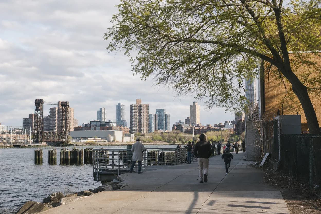
The title’s arches and bridge views should work as visual prompts, not unsupported architectural history. DOT sources support the larger Harlem River corridor and its bridge-linked geography toward Randall’s Island, while the neighborhood extracts support Mott Haven’s industrial character. From public vantage points, look for framed views, underpasses, repeated structural lines, shaded edges, and the shift from street wall to river opening. Those observations can enrich the walk without overstating what the sources prove.
The failure mode is over-captioning. Unless a plaque, agency page, preservation source, or venue record confirms a date, designer, or original use, do not turn every arch into a historical claim. Describe what a walker can verify in front of them: noise, shade, sightlines, traffic pressure, open space, and where the river appears or disappears. For photos, remind readers to check current access and avoid standing in driveways, bike paths, or work areas.
Add Art Without Overclaiming
The Bronx County Historical Society extract lists Mott Haven graffiti and street art walking tours, including guided options and references to many murals. The neighborhood guide also points readers toward Alexander Avenue, St. Ann’s Avenue, Bruckner Boulevard, WallWorks New York, BronxArtSpace, and the Bronx Documentary Center as art and culture leads. Together, those sources justify making art part of the route, especially for walkers who want more than river views.
Use those leads as prompts, not a fixed mural inventory. Street art changes, galleries relocate, exhibitions rotate, and workshops can sell out or pause. A practical version of the walk lets people notice walls from the sidewalk, check gallery and event pages directly, and skip any stop that looks closed or crowded. Photo etiquette matters: keep doorways clear, avoid photographing people at close range without consent, and do not block storefronts or residential entrances.
Plan Rest Before You Need It
Mill Pond Park is the strongest source-supported pause for the waterfront angle because the extract connects it with Harlem River views, walkways, jogging, and a pond. Use it as the rest point to verify first, then layer in nearby parks, gardens, food stops, or galleries only after confirming hours and access. For summer pacing on July 15, 2026, plan water, shade, and a shorter exit before the group feels worn down.
Accessibility needs should shape the route before departure. Confirm step-free transit options, elevator status, restroom availability, bench spacing, curb conditions, and whether the intended park entrances are open. A waterfront plan can still include uneven pavement, exposed sun, loud traffic edges, or blocked paths, so build a backup that returns to a known avenue, subway, bus, or indoor stop. The best walk is the one that still works when the preferred pause is unavailable.
What to verify for Mott Haven waterfront
This walk fits curious locals, photographers, transit riders, and visitors who want a South Bronx route with structure but room to adapt. It is less ideal for anyone expecting a fully signed waterfront promenade, guaranteed stroller continuity, or a gallery crawl where every stop is open without checking. The tradeoff is worthwhile: Mott Haven offers art, river context, parks, and street texture, but it asks walkers to pay attention to access and pacing.
Final checklist: confirm weather, transit, elevator status if needed, open park entrances, public path access, gallery or food hours, restroom options, and a clear turnaround point. Bring water, use daylight for unfamiliar blocks, stay on public routes, and keep photo stops brief where sidewalks are narrow. If construction, heat, closures, or fatigue change the plan, shorten the loop around Mill Pond Park, a verified indoor pause, or the nearest reliable transit connection.
Tags: #MottHaven #SouthBronx #BronxWalks #HarlemRiverGreenway #BronxWaterfront #MillPondPark #BronxArt #StreetArtNYC #RandallsIsland #PortMorris #NeighborhoodGuide #NYCWalks #AskKarpo #BeforeYouGo
Sources consulted: Source 1: nyc.gov · Source 2: nyc.gov · Source 3: nycdotprojects.info · Source 4: bronxhistoricalsociety.org · Source 5: helpnewyork.com
All trademarks are the property of their respective owners.
Ask Karpo first
Tell Karpo your date, group size, budget, and starting neighborhood. We’ll check current access, timing, transit, and the cleanest plan for Mott Haven waterfront before you head out.