 MiMo District Free Indoor Weekend Plan Finder for Retro Fans
Free Things to Do
Wynwood Miami Scenic City Skyline Viewpoint Walk Guide
Plan a Wynwood Miami scenic city skyline viewpoint walk from mural warehouse avenues to Biscayne Bay parks using Karpo APP to organize stops.
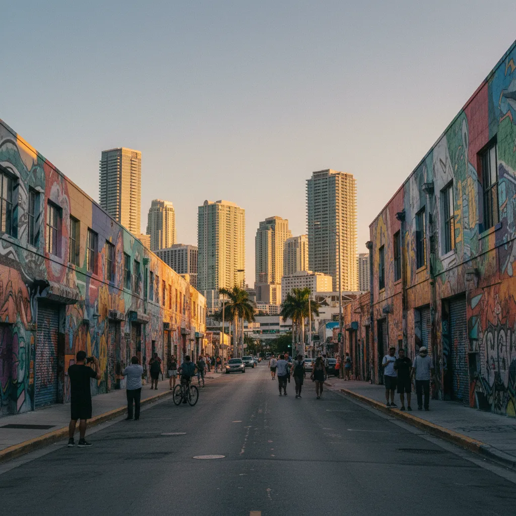
Standing at the intersection of Northwest Second Avenue and Northwest Twenty-Sixth Street while late-afternoon sunlight rakes across vibrant street murals, the low single-story roofs of the old garment warehouses leave a wide southern sky channel where the glass towers of Park West and Downtown Miami rise in sharp relief. Planning a scenic city skyline viewpoint walk in Wynwood relies on this stark architectural contrast between a flat twentieth-century industrial grid and the booming high-rise walls of adjacent Edgewater and Downtown. Originally platted in 1917 as Wyndwood Park by developers Josiah Chaille and Hugh Anderson, the district kept its low warehouse profile even as supertall condominiums sprouted along the nearby bayfront. Using the Karpo APP to pair interior mural avenues with a brief eastern walk to Biscayne Bay lets you capture both street-art foregrounds and open water horizons.
Northwest Second Avenue And North Miami Avenue Southern Sightlines
Between Northwest Twenty-Ninth Street and Northwest Twentieth Street, the parallel north-south corridors of Northwest Second Avenue and North Miami Avenue cut straight through the core of the Wynwood Art District. Because the mid-century garment factories, bakeries, and bottling warehouses lining these blocks rarely exceed twenty feet in height, looking south down either avenue gives photographers an unobstructed urban horizon. The clustered residential and office skyscrapers of Downtown Miami and the Park West entertainment district stand centered at the southern end of the roadway.
Late in the afternoon, golden western light illuminates the vivid spray-painted murals on the eastern side of Northwest Second Avenue while casting the distant downtown glass curtain walls in cool turquoise and amber reflections. Street photographers, mural tour walkers, and designers stepping out of studio courtyards use the wide signalized crosswalks at Northwest Twenty-Fifth Street and Northwest Twenty-Third Street to compose long-lens shots where colorful graffiti walls frame sleek modern high-rises. Saving these specific cross streets in the Karpo APP helps you track which blocks have the cleanest southward sightlines.
Roberto Clemente Park And Open Northern Sky Channels
At the northern boundary of the warehouse grid along Northwest Thirty-Fourth Street and Northwest First Avenue, Roberto Clemente Park opens a broad green expanse that breaks the concrete density of the industrial blocks. Established in the 1950s and renamed in 1973 to honor the legendary Puerto Rican baseball player and humanitarian, the municipal park features wide ballfields, shaded perimeter benches, and royal palms that frame the rising skyline of Edgewater and Midtown to the east.
Walking along the southern perimeter sidewalk of the park near Northwest Thirty-First Street and North Miami Avenue lets you look southeast across the low-rise neighborhood roofs toward the luxury residential towers lining Biscayne Boulevard. Youth baseball games, neighborhood joggers circling the outer path, and families resting under the royal palms give the park a welcoming community feel. Unlike the bustling weekend sidewalks outside the central mural galleries on Northwest Twenty-Sixth Street, the blocks bordering Roberto Clemente Park remain calm and spacious throughout the afternoon. Recording this northern park stop in the Karpo APP gives you an unhurried starting point before walking south through the heart of the gallery grid.
Connecting East Across Biscayne Boulevard To Margaret Pace Park
Whenever you want to pair Wynwood's mural-framed street corridors with an open waterfront skyline, follow Northeast Twenty-Ninth Street or Northeast Twentieth Street east across North Miami Avenue and Biscayne Boulevard into Edgewater. Within a fifteen-minute walk from Northwest Second Avenue, the street grid opens onto Margaret Pace Park, an eight-acre bayfront greenway along North Bayshore Drive overlooking the turquoise expanse of Biscayne Bay. Shaded banyan trees and wide paved bayside walkways trace the shoreline from Northeast Seventeenth Street north to Northeast Twenty-First Street.
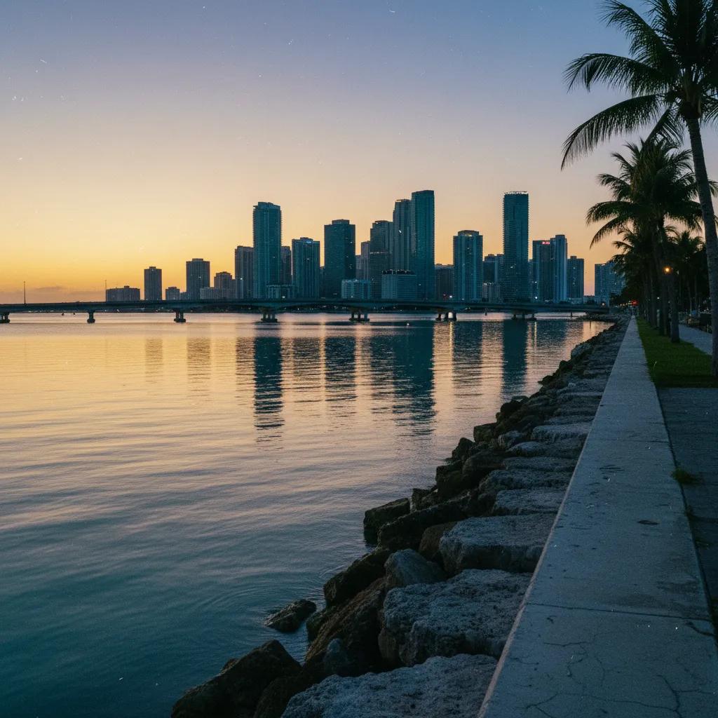
Standing at the eastern limestone seawall of Margaret Pace Park gives you a panoramic over-water sightline south toward the Venetian Causeway, opened in 1926 across the bay islands, the cruise terminals of PortMiami, and the waterfront towers of Downtown Miami. Across the bay to the east, the Art Deco and modern condominium skyline of Miami Beach glows pink during the final minutes before sunset. Linking Northwest Second Avenue with the Margaret Pace Park seawall inside your Karpo APP walking plan turns an inland art stroll into a complete city-to-bay skyline route.
Midday Tropical Heat To Skip And Transit Fallback Options
Skip walking the unshaded concrete blocks of Northwest Fifth Avenue and Northwest Second Avenue between noon and three-thirty in the afternoon during summer and early autumn, when intense South Florida humidity and overhead sun glare wash out mural colors and create heavy heat shimmer down the roadway. Schedule your walk during the final ninety minutes before sunset or on breezy winter afternoons between November and March instead. You should also skip narrow mid-block loading zones on Friday evenings when weekend art walk traffic peaks.
If a sudden tropical rain squall rolls across the bay, duck under the deep concrete overhangs along North Miami Avenue and Northwest Second Avenue, or board the free City of Miami Wynwood Trolley and Metrobus Route 2, which connect south toward the School Board Metromover station and Downtown Miami. From the elevated platform of the School Board Metromover station, opened in 1994 as part of the Omni extension, passengers also catch an elevated rail-level view south toward the downtown museum park towers. Keeping the trolley stops and the Metromover connection saved in the Karpo APP ensures you can move quickly to covered transit whenever afternoon clouds build.
Sequencing A Warehouse-To-Bayfront Golden-Hour Walk
Start a ninety-minute Wynwood skyline walk near Northwest Twenty-Ninth Street and Northwest Second Avenue two hours before sunset, strolling south down Northwest Second Avenue to Northwest Twenty-Third Street while warm western sunlight lights up the eastern mural facades and the Downtown Miami towers ahead. Turn east on Northwest Twenty-Third Street to cross North Miami Avenue and capture the wider boulevard axis.
Fifty minutes before sunset, continue east along Northeast Twenty-Third Street or Northeast Twentieth Street across Biscayne Boulevard to reach the seawall promenade of Margaret Pace Park on North Bayshore Drive. Watching twilight settle over Biscayne Bay while the Venetian Causeway lights and the Downtown Miami high-rises reflect across the water provides a breezy coastal finale just blocks from the School Board Metromover station. Reviewing this west-to-east route in the Karpo APP keeps your afternoon walk seamless.
Ask Karpo for more information.
Keep reading
- MiMo District Free Indoor Weekend Plan Finder for Retro Fans
 Coral Gables Free Indoor Weekend Plan Finder for Book Lovers
 South Beach Free Indoor Weekend Plan Finder for Rainy Days