 MiMo District Free Indoor Weekend Plan Finder for Retro Fans
Free Things to Do

Coral Gables Scenic City Skyline Viewpoint Walk Guide
Walk a Coral Gables scenic city skyline viewpoint route from De Soto Fountain to Miracle Mile axes using Karpo APP to organize boulevard stops.
Standing beside the carved coral-rock column of the De Soto Plaza Fountain where Granada Boulevard intersects Sevilla Avenue and Palermo Avenue, a double row of royal palms and manicured greenway lawns frames the three-hundred-fifteen-foot Giralda tower of the Biltmore rising against the southern sky. Experiencing a scenic city skyline viewpoint in Coral Gables means walking through one of America's most intact 1920s City Beautiful master plans, where founder George Merrick and artistic advisor Denman Fink engineered wide diagonal boulevards to terminate at monumental towers, fountains, and domes. Rather than relying on a single observation deck, walkers follow axial greenways that link historic Spanish Renaissance spires with the Mediterranean Revival skyline of Ponce de Leon Boulevard. Saving these boulevard axes in the Karpo APP helps you connect every vista in late-afternoon light.
De Soto Plaza Fountain And The Granada Boulevard Biltmore Axis
Designed by Denman Fink in 1925 as a four-faced pedestal fountain carved from native oolitic limestone, the De Soto Plaza monument anchors a sweeping traffic circle at Granada Boulevard and Sevilla Avenue. When you stand on the northern grass median of Granada Boulevard and look south past the cascading water basins, the wide greenway channel points directly at the soaring campanile of the Biltmore Hotel, designed by Schultze and Weaver after the Giralda bell tower in Seville and completed in 1926. For decades after its completion, the three-hundred-fifteen-foot spire stood as the tallest structure in Florida.
Walking south along the shaded pedestrian greenway bordering the Granada Golf Course lets you watch late-afternoon sunlight warm the terracotta roof tiles and ornate stone carvings of the tower against an unobstructed tropical sky. Cyclists cruising the wide boulevard lanes, neighbors walking under the royal palms, and architectural photographers framing the fountain pedestal enjoy a remarkably serene parkway setting. Saving De Soto Plaza and the southern Granada Boulevard greenway inside the Karpo APP sets up the signature historic sightline of your walk.
Alhambra Water Tower And Northern Greenway Sightlines
Five blocks north of De Soto Plaza where Alhambra Circle meets Greenway Court and Ferdinand Street, the Alhambra Water Tower rises like a nineteenth-century Spanish coastal lighthouse above a circular landscaped green. Completed in 1924 to disguise the municipal water supply tank with frescoed stucco walls, iron grillwork, and a ribbed copper dome, and restored in 1993, the tower marks the northern anchor of the historic greenway system. Listed on the National Register of Historic Places, its painted trompe-l'oeil windows and vine-draped base make it one of the most distinctive vertical landmarks in the neighborhood.
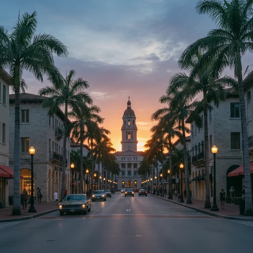
Looking east down the wide tree-lined median of Alhambra Circle from the water tower lawn reveals the modern Mediterranean-inspired mid-rise skyline of Downtown Coral Gables clustered along Ponce de Leon Boulevard and LeJeune Road. Because mature live oaks and mahogany trees arch over the side sidewalks while leaving the central boulevard median open, walkers can trace a cool shaded corridor straight toward the commercial core. Recording the Alhambra Circle and Greenway Court junction in the Karpo APP connects the historic residential landmarks to the downtown avenues.
Miracle Mile And The Coral Gables City Hall Limestone Tower
At the southern end of the commercial core along Coral Way between LeJeune Road and Douglas Road, the four blocks known as Miracle Mile create a grand east-west civic and retail axis. Walking west along the wide coral-stone sidewalks toward Biltmore Way aligns your view directly with the three-tiered oolitic limestone clock tower and colonnade of Coral Gables City Hall, designed by Phineas Paist and Denman Fink and completed in 1928. Carved relief shields and classical stone columns frame the semicircular western entrance facing the boulevard.
Turning east from the triangular park plaza in front of City Hall lets you look back down the length of Miracle Mile and across the Ponce de Leon Boulevard intersection, where Mediterranean Revival arches, barrel-tile cupolas, and contemporary limestone office towers form a cohesive urban skyline. Outdoor cafe tables, public bronze sculptures, and evening strollers give the boulevard a lively pedestrian rhythm as dusk approaches. Adding the City Hall plaza on Biltmore Way to your Karpo APP walking plan bridges the gap between the western Granada greenways and the eastern trolley corridor.
Midday Humidity And Roundabout Crossings To Skip Plus Trolley Backups
Skip walking the longest unshaded golf-course stretches of Granada Boulevard between noon and three in the afternoon during July, August, and September, when tropical heat and afternoon humidity peak across inland Miami-Dade County. Plan your walk during the final ninety minutes before sunset when the oak canopies along Sevilla Avenue and Alhambra Circle cast long shadows across the sidewalks. You should also avoid cutting directly across the center of the De Soto Plaza traffic circle during weekday rush hour, using the perimeter crosswalks around the rotary instead.
Whenever an afternoon summer downpour develops, walk east along Miracle Mile or Alhambra Circle to Ponce de Leon Boulevard to board the free air-conditioned Coral Gables Trolley, which runs north-south every ten to fifteen minutes directly to the Douglas Road station on the Miami-Dade Metrorail. From the elevated platform of the Douglas Road Metrorail station, opened in 1984, riders also gain a high rail-level view northeast toward the Coconut Grove and Brickell skylines while checking saved transit notes in the Karpo APP.
Sequencing A Lighthouse-To-Campanile Sunset Route
Begin a ninety-minute Coral Gables skyline route at the Alhambra Circle stop on the free Ponce de Leon Boulevard trolley two hours before sunset, walking west along the shaded median of Alhambra Circle to the historic Alhambra Water Tower at Greenway Court. From the lighthouse plaza, stroll south down Greenway Court and Granada Boulevard to reach the De Soto Plaza Fountain.
Continue south along the Granada Boulevard greenway forty-five minutes before sunset as the low western sun ignites the 1926 Biltmore tower in warm copper and gold light across the open greenway lawn. Finish by walking east along Palermo Avenue or Andalusia Avenue toward the 1928 Coral Gables City Hall rotunda and Ponce de Leon Boulevard to catch the trolley back to the Douglas Road Metrorail station. Keeping this north-to-south sequence stored in the Karpo APP makes every turn across George Merrick's historic grid effortless.
Ask Karpo for more information.
Keep reading
- MiMo District Free Indoor Weekend Plan Finder for Retro Fans
 Coral Gables Free Indoor Weekend Plan Finder for Book Lovers
 South Beach Free Indoor Weekend Plan Finder for Rainy Days