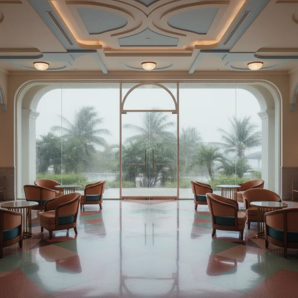
 MiMo District Free Indoor Weekend Plan Finder for Retro Fans
Free Things to Do
Coral Gables Scenic City Overlook Trail to Matheson Hammock
Trace a Coral Gables scenic city overlook trail from Miracle Mile past the Biltmore tower and down Old Cutler Road to Matheson Hammock's bayfront skyline view.
Coral Gables sits on level ground, so a scenic city overlook trail here works in two parts. First you walk through one of America's most carefully planned suburbs, where a hotel tower rises above golf greens and fountains mark the street corners. Then you travel south under one of South Florida's most beautiful tree canopies to Matheson Hammock, a county park on Biscayne Bay where the mangroves part and the downtown Miami skyline appears as a thin line of towers across the water. It is a half-day outing that rewards curiosity more than stamina.
Merrick's City Beautiful
Coral Gables grew from a citrus and avocado plantation owned by the family of George Merrick. In the early 1920s he turned the land into a planned city inspired by the City Beautiful movement and by Mediterranean towns he admired, with winding streets, plazas, fountains and grand entrance gateways. The city was incorporated in 1925. Strict design rules gave it a remarkably consistent look of coral rock, barrel-tile roofs and pastel stucco, and many of those rules still shape what gets built today.
The Stone Beneath Your Feet
The name Coral Gables comes from the Merrick family home, built around the turn of the twentieth century from local oolitic limestone, often called coral rock, and topped with gables. That porous stone, full of tiny fossil shells, appears everywhere in the city: in walls, gateways, fountain basins and garden edges. Run a hand over a low wall as you walk and you will feel its rough texture. The family house still stands as a small museum, a modest starting point for a city that later grew far grander. Learning to spot the stone makes the whole route feel like a geology lesson in plain sight.
Starting on Miracle Mile
Begin on Miracle Mile, the main shopping street, and the pedestrian-friendly Giralda Plaza nearby, where restaurant tables spill into the street beneath strings of lights. Grab breakfast or coffee here and look at the arcades and facades along the way. At the western end of the Mile stands Coral Gables City Hall, completed in 1928, with a curved colonnade and a clock tower. It sets the tone for the rest of the walk: civic buildings treated as works of art.
De Soto Fountain and the Quarry Pool
Walk southwest through quiet residential streets to the De Soto Fountain, a stone fountain from 1925 set in a roundabout and shaded by tall trees. Nearby lies the Venetian Pool, created in 1924 from a coral rock quarry that supplied stone for many of the city's early homes. Its caves, waterfalls and loggias make it one of the most unusual public pools in the country. The pool keeps its own seasonal schedule and entry details, but even a glimpse over the walls shows how Merrick turned an old pit into a landmark.
The Biltmore Tower
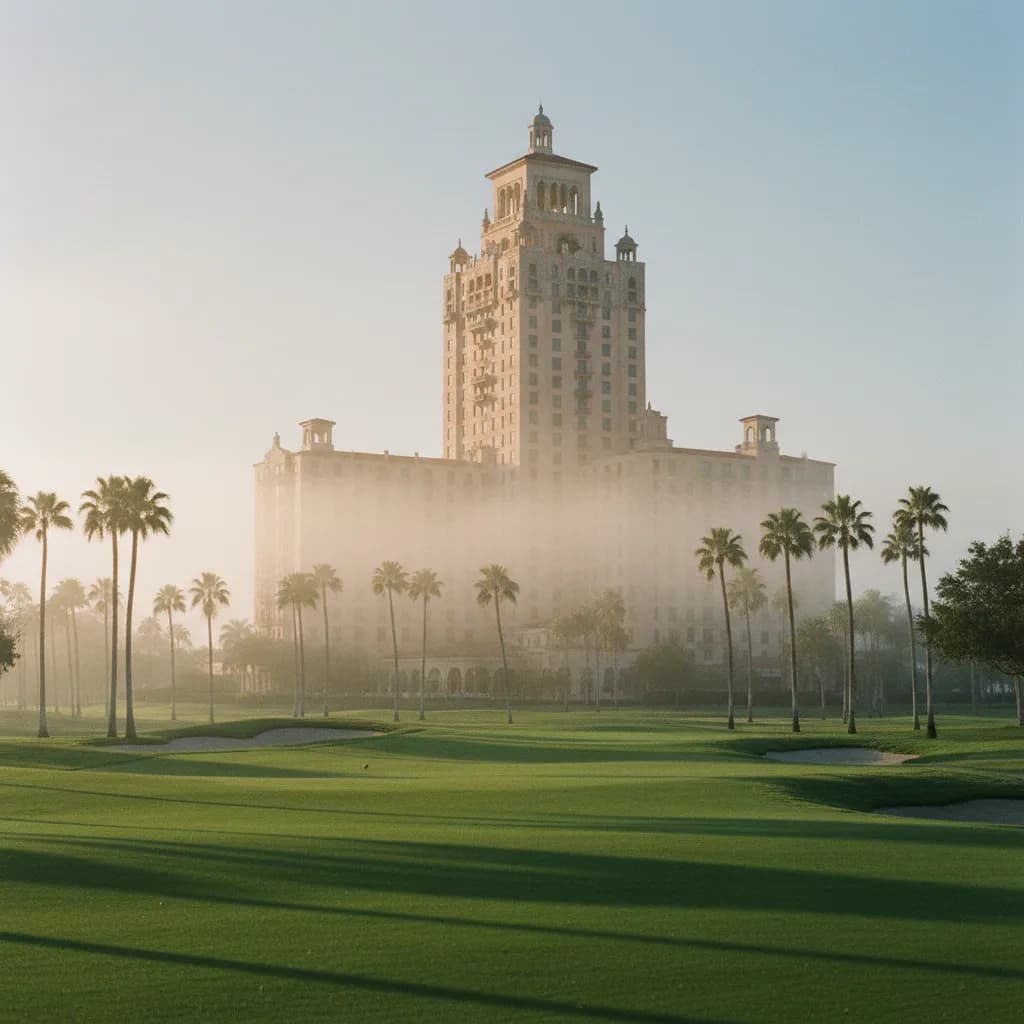
Continue to the Biltmore Hotel, which opened in 1926 and quickly became the social center of the boom years. Its tall central tower was modeled on the Giralda, the famous bell tower of Seville Cathedral. The best free view comes from the edges of the golf course that surrounds it, where the tower rises above palms and lawns. In early morning, with mist lifting off the greens, it feels more like an Andalusian town than a Miami suburb. Respect the hotel grounds and stay on public sidewalks.
Gateways and Plazas
As you move through the city, watch for the grand entrances Merrick built at its edges, such as the Douglas Entrance and the Granada Entrance, with their arches and towers. Smaller plazas with fountains and pergolas mark intersections across the residential districts. Each was meant to feel like a stage set from an old European town. Hunting for them is a fun way to explore by bike, and they give the flat streets a sense of rhythm and surprise.
Under the Old Cutler Road Canopy
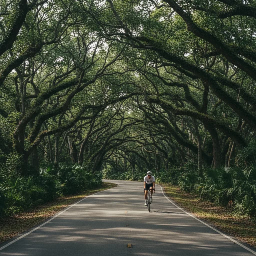
From the southern edge of the city, head down Old Cutler Road, one of the oldest routes in the county. Huge banyans, oaks and native hardwoods meet overhead for long stretches, creating a dim green tunnel that feels far from the city. A bike path runs alongside parts of the road, making this leg ideal by bicycle. Walking the full distance is long, so most visitors ride or drive to the next stop.
Matheson Hammock and the Bay View
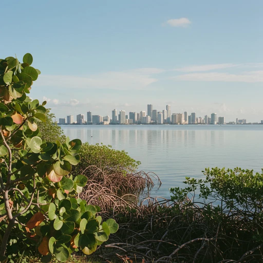
Matheson Hammock Park is a county park on Biscayne Bay, built on land donated by the Matheson family in the 1930s. Its paths wind through tropical hardwood hammock and mangroves to an open shore. The highlight is a man-made atoll pool, a calm saltwater lagoon flushed by the tides, ringed by sand and palms. Walk out toward the water and look north: across the bay, the towers of downtown Miami and Brickell rise on the horizon, small and silvery in the distance. The county lists entry details on its parks page, so look them up before you go.
When to Go
Early morning is ideal for the walking portion, with soft light on the coral rock buildings and quiet streets. Late afternoon is better at Matheson Hammock, when the skyline across the bay catches the last warm light and the sea breeze is strongest. Summer brings heat, humidity and afternoon storms, so plan the open shore for a calm window and carry rain gear.
Who This Route Suits
This route suits architecture lovers, cyclists and anyone who likes a slower kind of sightseeing. Families can split it into a morning in the city and an afternoon at the park, where the calm atoll pool is popular with children. Photographers get both ornate buildings and a sweeping water view in a single day.
Plan It With Karpo
Tell Karpo in the Karpo APP that you want breakfast on Miracle Mile, the Biltmore tower, a ride down Old Cutler Road and sunset at Matheson Hammock. Karpo can suggest an order for these stops and nearby places to eat along the way. Check the forecast and park notices yourself before you set out.
Practical Notes
Wear comfortable shoes and bring water, sun protection and insect repellent for the mangrove paths. The walking loop through central Coral Gables covers about three miles, and Matheson Hammock lies several miles further south, so plan transport for that leg. The free city trolley serves the main corridor, which helps on hot days. Allow a full half day for both parts.
Ask Karpo for more information.
Keep reading
- MiMo District Free Indoor Weekend Plan Finder for Retro Fans
 Coral Gables Free Indoor Weekend Plan Finder for Book Lovers
 South Beach Free Indoor Weekend Plan Finder for Rainy Days