 MiMo District Free Indoor Weekend Plan Finder for Retro Fans
Free Things to Do
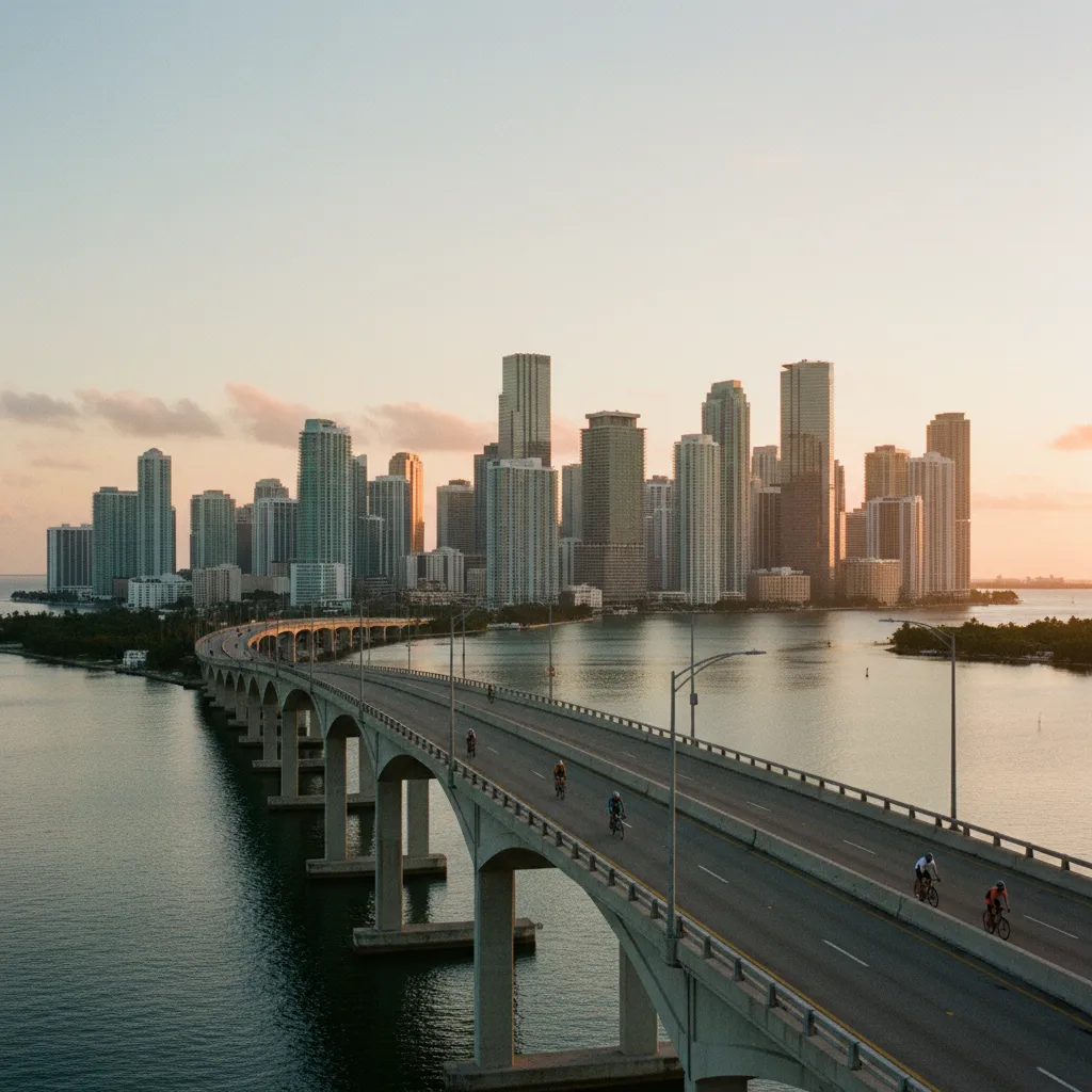
Brickell Scenic City Overlook Trail Over the Rickenbacker
Climb a free Brickell scenic city overlook trail from the Underline and the Miami River mouth up the Rickenbacker Causeway bridge for a wide skyline view.
The best scenic city overlook trail in Brickell climbs a bridge rather than a hill. Brickell is Miami's banking district, a canyon of glass towers on flat ground beside the bay, and the classic view of it comes from the crest of the William M. Powell Bridge on the Rickenbacker Causeway, the arched span that carries the road toward Key Biscayne. Locals run, walk and cycle up its long slope at dawn for one reason: from the top, the whole skyline lines up across the water. This route links that climb with three quieter stops that tell the story of the ground beneath the towers.
Starting at the Miami River Mouth
Begin at the north edge of Brickell, where the Miami River meets Biscayne Bay. On the south bank sits the Miami Circle, a ring of holes cut into the limestone bedrock that archaeologists uncovered in 1998 during the clearing of a building site. The circle is believed to be about two thousand years old and linked to the Tequesta people who lived along this shore. It is now a National Historic Landmark, preserved beneath a grassy lawn. There is little to see on the surface, yet standing there with the towers rising around you is a striking reminder of how long people have gathered at this river mouth.
The Brickell Riverwalk and Bay Edge
From the circle, follow the waterfront walkways south along the bay. Many of the condominium towers here keep public paths along their seawalls, and together they make a patchy but pleasant bayfront route. Look east and you will see Brickell Key, a small man-made island once called Claughton Island, ringed by its own walking loop. Crossing the short bridge onto the island and circling its edge adds a calm detour with open water on every side.
Walking the Underline
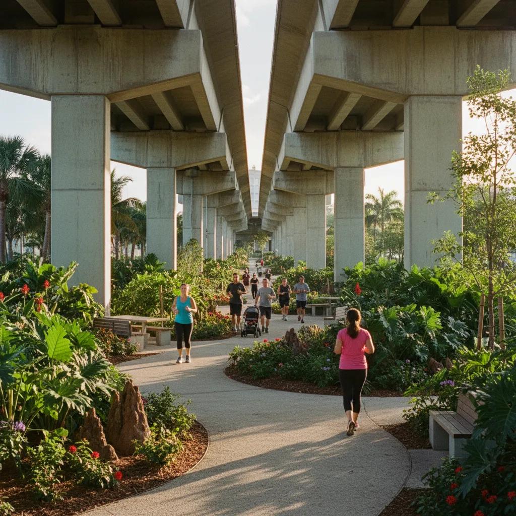
Cut inland to the Underline, a linear park growing beneath the elevated Metrorail tracks. Its first section, known as the Brickell Backyard, opened in 2021 with native plants, shaded seating, game courts and separate paths for walkers and cyclists. The concrete guideway overhead acts as a long parasol, which makes this the most comfortable stretch of the route on a hot afternoon. Watch for butterflies in the planted beds, and notice how the planners used local species to recreate a slice of the habitat that once covered the ridge.
A Remnant of the Brickell Hammock
Before the towers, this part of Miami was covered by a dense tropical hardwood forest known as the Brickell Hammock. Simpson Park preserves a small piece of it just south of the main district. A short nature trail winds through gumbo-limbo, strangler figs and wild coffee, with the city noise fading almost as soon as you step under the canopy. It is a reminder of the landscape that shaped Miami long before banking arrived.
Reaching the Causeway
From the southern end of Brickell, head toward the Rickenbacker Causeway. The approach crosses open bay on a wide road with paths and bike lanes, and the breeze picks up immediately. Walking the full causeway out to Key Biscayne is a long outing, but you only need to reach the top of the first big bridge for the view. The slope is steady rather than steep, and you will share it with cyclists training on the climb, so stay alert and keep to the pedestrian side.
The Story of the Bridge
The causeway first linked the mainland to Virginia Key and Key Biscayne in the late 1940s and was named for Eddie Rickenbacker, the First World War flying ace who later ran Eastern Air Lines. The original low drawbridge was replaced in the 1980s by the high fixed span you climb today, named for William M. Powell, a local civic leader. Its height lets sailboats pass beneath without waiting for an opening, and it accidentally created Miami's favorite free workout hill. On weekend mornings you will see running clubs doing repeats up and down the slope.
The View From the Crest
At the crest of the William M. Powell Bridge, turn around. The full Brickell skyline stretches across the water, with downtown and the port beyond it to the north and Virginia Key and its beaches behind you to the east. On a clear morning you can trace the line of towers all the way to the mouth of the river where you started. Boats cut white wakes below, and pelicans often glide past at eye level. This is one of the few places in central Miami where you look down on the bay from real height.
When to Go
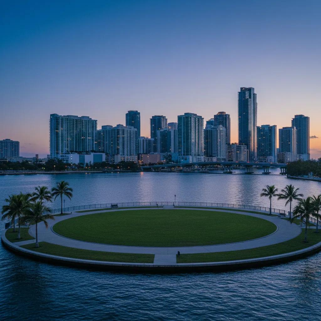
Sunrise is the traditional time, partly because of the light and partly because it is cool enough for a climb. The sun comes up behind you over Key Biscayne and paints the glass towers gold. Sunset is beautiful too, with the skyline turning to silhouette against an orange sky. Midday in summer is punishing on the exposed bridge, so avoid it if you can, and keep an eye on storm clouds, which can bring lightning quickly over open water.
Who This Route Suits
This walk is a good fit for visitors staying in Brickell who want a skyline view without paying for a rooftop, and for runners or cyclists looking for the one real climb in the area. History fans get the Miami Circle and the hammock, while families can stick to the shaded Underline and the island loop. Wheelchair users will find the bayfront paths and the Underline mostly level, though the bridge slope is long.
Staying Safe on the Bridge
The causeway is a busy road and a popular cycling route, so treat it with care. Use the marked pedestrian areas, avoid walking in the bike lane, and wear something bright if you go before full daylight. Strong winds can gust across the crest, so hold on to hats and phones when you stop for photos. If you are not comfortable walking along fast traffic, the bayfront paths and Brickell Key loop still give a fine view at water level.
Plan It With Karpo
Tell Karpo in the Karpo APP that you want the Miami Circle, the Underline, Simpson Park and the causeway bridge in one morning. Karpo can suggest an order for these stops and nearby places for breakfast or a cold drink afterward. Read the forecast and any park notices yourself before setting off, since conditions on the bay change quickly.
Practical Notes
Bring plenty of water and sun protection, because the bridge has no shade at all. Comfortable shoes with good grip help on the long incline. The Metrorail and the free Metromover both serve Brickell, making it easy to start at the river and leave from the south end of the district. Allow around three hours for the full route with stops, or skip the causeway for a shorter, shaded loop through the Underline and Simpson Park.
Ask Karpo for more information.
Keep reading
- MiMo District Free Indoor Weekend Plan Finder for Retro Fans
 Coral Gables Free Indoor Weekend Plan Finder for Book Lovers
 South Beach Free Indoor Weekend Plan Finder for Rainy Days