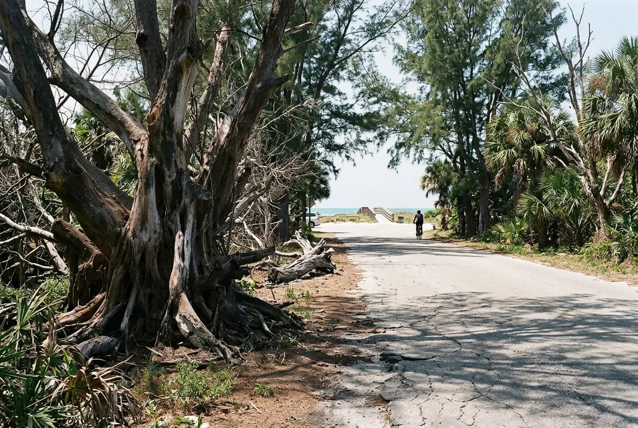
Bill Baggs Cape Florida sits at the exact point where Key Biscayne runs out of land, and the trail network takes advantage of that geography by keeping ocean on one side and bay on the other for most of its distance. Search 'hiking trails near me' from anywhere on the key and this is the park that answers, not because it is dense wilderness, but because it is one of the few places in Miami-Dade where a walk can start near a nineteenth-century lighthouse and end at open water on two different coastlines.
Ask Karpo before driving down: the park can close once it reaches capacity, and knowing that in advance changes whether you go at nine or wait until the afternoon.
Two shorelines, one walk
The park occupies the southern tip of Key Biscayne, with the Atlantic Ocean on one flank and Biscayne Bay on the other. Rather than a single named trail, it is laid out as a coastal park where paths link the lighthouse compound, the beach, picnic pavilions, and water stations across the site, so a walker moving from one end to the other naturally crosses from ocean views to bay views without retracing steps.
Because the paths connect rather than loop tightly, a full circuit touches both coastlines with almost no elevation change, which makes it approachable for someone who would not describe themselves as a hiker. The reasoning holds up on the ground: flat sand and paved sections mean the effort is about distance and heat management, not terrain.
The lighthouse sets the scale but not the whole story
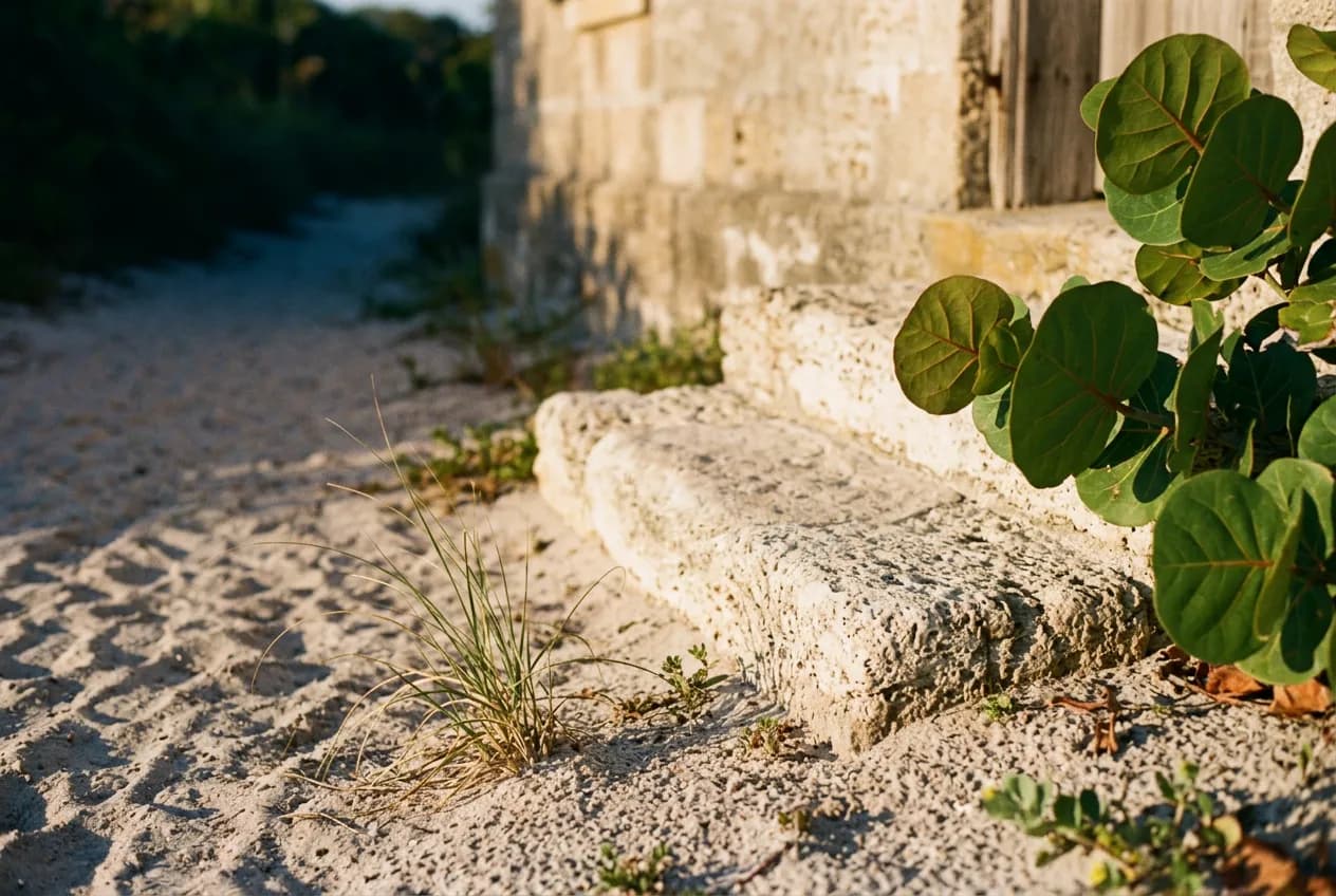
Cape Florida Lighthouse is the oldest standing structure in Miami-Dade County, completed in 1825 and rebuilt into its current form in 1846, with masonry keeper's structures still standing beside it. Guided tours of the tower are offered, and the compound gives the walk a fixed point to orient around, whether someone is starting a loop or just cutting the visit short.
The lighthouse tower itself keeps separate hours, open Thursday through Monday, 9 a.m. to 5 p.m., which does not match the park's own 8 a.m. to sunset schedule. Anyone who wants to climb it as part of the walk should build the visit around those four days rather than assume it lines up with a general park trip.
Underfoot: sand, shade, and a paved stretch
This is not a forest trail. The ground shifts between open sand near the beach, shaded stretches near the picnic pavilions, and firmer paved sections closer to the lighthouse grounds. Wildlife viewing is part of the draw along the way, and the variety of surface is worth knowing in advance so footwear matches the plan rather than defaulting to sandals for the whole distance.
Refillable water stations sit near Beach Access #6 and Restroom #5, which matters more than it sounds like on an exposed island in South Florida heat. Planning a longer loop around those two points, rather than assuming water is available everywhere, keeps the walk comfortable instead of a race back to the car.
- Refill water bottles near Beach Access #6 and Restroom #5 before the longer loop
- Expect open sun along the sand stretches; shade clusters near the picnic pavilions
- The lighthouse tower keeps separate hours from the park's 8 a.m. to sunset schedule
- Vehicle entry costs $8, separate from any lighthouse tour arrangements
- Some restrooms, beach accesses, and pavilions rotate through renovation closures
Where the walk gets quiet
The park spreads across the southern third of the island, with a seawall for fishing and separate access for boating and kayaking well beyond the main beach entrance. Those points draw a different, smaller crowd than the beach itself, so the edges of the property tend to feel quieter than the center, simply because fewer people walk that far from the parking area.
Because the park can close temporarily once it hits capacity, and because certain restrooms, beach accesses, and pavilions are currently rotating through renovation, foot traffic is not always evenly spread across the site. Arriving before the main beach fills tends to give a clearer run of the trail before crowd flow gets redirected around whatever is closed that week.
A history most hikers don't expect
The site was used as a refuge and meeting place for fugitive slaves and Black Seminoles before their passage to the Bahamas, and it was designated a National Underground Railroad Network to Freedom site in 2004. That history is not staged or separated from the walking trail; it is layered into the same ground the path crosses.
The park itself opened in 1967, well over a century after the lighthouse's original construction and its 1846 rebuilding, and it carries the name of Bill Baggs, a Miami News columnist. The gap between those dates is part of what makes the walk feel like it is passing through several distinct eras rather than one preserved moment.
Fitting the walk around other Key Biscayne beach days
Bill Baggs sits next to Biscayne National Park and close to Crandon Park and the wider Key Biscayne beach corridor, which makes it easy to treat the lighthouse walk as one stop in a longer day rather than the whole trip. A beach day at Crandon, a kayak session, or a bike ride around the key all pair naturally with an hour or two on the Bill Baggs trails.
Getting there does not require a car. Miami-Dade Metrobus Route 26 serves Key Biscayne, including the Bill Baggs area, which is worth knowing for anyone trying to string together a car-free beach-and-trail day on the key.
Practical notes
Bill Baggs Cape Florida State Park is at 1200 S. Crandon Blvd., Key Biscayne, FL 33149, on the southern tip of the island. The park is open daily from 8 a.m. to sunset, year-round, with a posted vehicle entry fee of $8. The Cape Florida Lighthouse tower keeps its own separate schedule, Thursday through Monday, 9 a.m. to 5 p.m., so a tour needs to be timed against those days rather than the park's broader hours. Refillable water stations are located near Beach Access #6 and Restroom #5. Miami-Dade Metrobus Route 26 reaches the Key Biscayne and Bill Baggs area for those arriving without a car. Because the park can close temporarily once it reaches capacity, and some facilities are currently cycling through renovation closures, it is worth checking conditions before setting out on a longer loop.
Tags: #HikingTrailsNearMe #KeyBiscayne #BillBaggsCapeFlorida #MiamiHiking #FreeThingsToDoMiami #CapeFloridaLighthouse #FloridaStateParks #BiscayneBay #MiamiBeachWalk #UndergroundRailroadSite #MiamiOutdoors #KeyBiscayneBeach #MiamiDadeParks
All trademarks are the property of their respective owners.
Ask Karpo first
Ask Karpo whether the park has reached capacity that day and whether the lighthouse tower's Thursday-to-Monday hours line up with your visit before making the drive out to Key Biscayne. It is also worth checking which restrooms, beach accesses, or pavilions are closed for renovation that week, since that can shift how much of the walk actually stays open.