Maspeth Creek, a lesser-known tributary of Newtown Creek, offers a distinct perspective on Queens' industrial waterfront. Unlike manicured parks or bustling promenades, this waterway provides an unvarnished look at a working landscape, characterized by bulkheads, factories, and the persistent ebb and flow of tidal waters. It's a destination for those seeking an alternative urban experience, where the raw edges of industry meet the natural rhythms of a tidal estuary. This journey isn't about scenic overlooks, but rather an appreciation for the specific character and history embedded within a vital urban artery.
Want a deeper dive into NYC's hidden waterways, complete with planning assistance and real-time updates? Text Karpo for personalized insights.
Understanding the Ecosystem: Maspeth Creek's Place in Newtown Creek
Maspeth Creek is a small tributary situated on the Queens side of the larger Newtown Creek, approximately 2.5 miles from where Newtown Creek empties into the East River. It specifically branches off the Turning Basin, a key navigational feature within the larger waterway system. This connection means Maspeth Creek is tidally influenced, with its water levels rising and falling with the ocean's rhythm, a characteristic that profoundly shapes its functionality and appearance.
The broader Newtown Creek system, which Maspeth Creek feeds into, flows between Queens and Brooklyn before reaching the East River. This entire system is known for its heavily industrialized waterfront, a legacy that extends directly to Maspeth Creek. The ecology of this area has been shaped by a long industrial past, leading to a landscape where nearly the entire stretch of the creek is bulkheaded, defining its urban edge rather than offering natural shorelines.
What to Expect: An Industrial Aesthetic, Not a Park
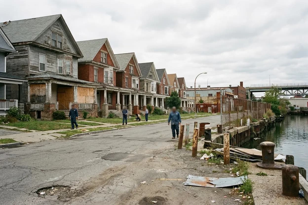
Visitors approaching Maspeth Creek should anticipate an environment defined by industry and infrastructure, not a traditional park or recreational waterfront. This is a place to observe the working side of New York City, where bulkheads, industrial facilities, and the mechanics of a tidal waterway are the primary features. It's an opportunity to see how urban development and natural hydrology intersect in a less polished, but historically significant, manner.
The creek's landscape is far from a conventional scenic vista. Instead, it offers a specific urban edge where the water meets concrete and steel. This focus on infrastructure and industrial activity provides a unique photographic and observational opportunity, allowing for an appreciation of the city's operational backbone rather than its leisure spaces. It is a testament to the ongoing industrial life that still thrives in parts of the urban fabric.
Navigating the Waters: Tidal Limitations and Craft
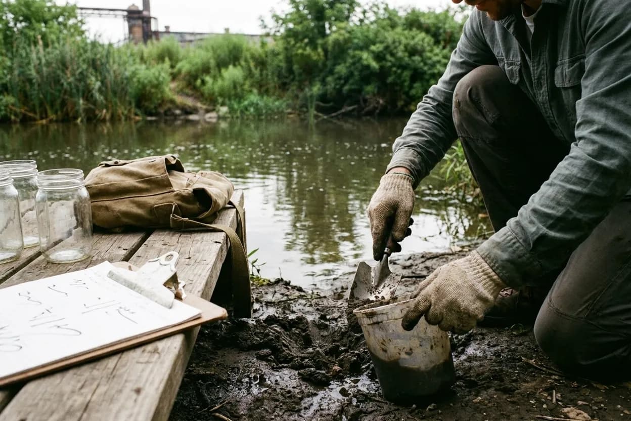
A critical planning detail for anyone considering water-based access to Maspeth Creek is its tidal nature. The creek is reportedly only navigable at high tide, and even then, only by small human-powered vessels such as rowboats or canoes. This means any water-based exploration requires precise timing and a suitable craft, making it an endeavor for experienced paddlers or those with specific local knowledge of tidal cycles.
The dependence on high tide for navigability underscores the dynamic character of Maspeth Creek. Unlike a static body of water, its accessibility changes throughout the day. This characteristic makes it a fascinating subject for observation, highlighting the constant interplay between the urban environment and natural forces. For land-based visitors, this means observing the water level fluctuations that transform the creek's appearance.
Locating Your Vantage Point: A Street-Level Approach
For those planning a land-based visit, the most precise street-level reference point provided for Maspeth Creek is at 49th Street, specifically between Galasso Place and Maspeth Avenue. This location offers a street-facing terminus, providing a direct view onto the creek. It serves as a primary point of access and observation for understanding this unique industrial waterway.
Approaching the creek from this specific street location allows visitors to directly engage with the industrial surroundings. It's a practical starting point for observing the bulkheaded banks and the general character of the waterway, without venturing into areas that may lack public access. This direct street view is crucial for experiencing Maspeth Creek's specific urban context.

Historical Context: A Superfund Site's Legacy
Newtown Creek, and by extension Maspeth Creek, carries a significant historical burden. The broader Newtown Creek system was designated a Superfund site in 2010. This designation reflects the extensive industrial pollution that has impacted the area over many decades, shaping both its current environmental status and the ongoing efforts towards remediation. Understanding this history is key to appreciating the creek's present condition.
The legacy of industrial activity means that while Maspeth Creek offers a unique urban experience, it is also a reminder of the environmental challenges faced by urban waterways. This context adds another layer of depth to a visit, encouraging reflection on the interplay between industry, urban development, and environmental stewardship in a complex urban ecosystem.
Beyond the Shoreline: Imagining the Watershed
While direct shoreline access along much of Maspeth Creek is limited due to bulkheading and industrial properties, understanding its connection to the larger Newtown Creek watershed is essential. The creek's environment is intrinsically linked to the surrounding urban and industrial land use, and its waters reflect the history and ongoing activity of its drainage basin. This broader perspective enhances the appreciation of this specific waterway.
Considering Maspeth Creek as part of a larger, tidally influenced estuary helps contextualize its unique character. It's not an isolated body of water but an integral component of a complex urban-industrial system. This perspective allows visitors to move beyond just the immediate view and to consider the wider ecological and historical forces at play within this specific Queens location.
Practical notes for your Maspeth Creek visit
Given the industrial nature of Maspeth Creek, visitors should not anticipate typical park amenities such as continuous footpaths, public restrooms, or designated viewing platforms. The most specific publicly described viewing/access point is the street-facing terminus at 49th Street between Galasso Place and Maspeth Avenue. Official sources do not confirm a formal public-hours schedule, reservation requirement, ticketed access, official visitor center, guided tour operator, seasonal opening window, or public landing at Maspeth Creek itself. Plan your visit with these expectations in mind.
Before setting out, verify current access conditions and any local advisories, especially if planning a water-based approach, as navigation is tide-dependent. Check local tide charts if considering rowboat or canoe access. Expect limited shoreline access and no guarantee of continuous foot access along the water. As a general planning recommendation, wear appropriate footwear for an urban industrial environment and be mindful of active industrial operations in the vicinity.
Tags: #MaspethCreek #NewtownCreek #QueensWaterfront #IndustrialNYC #UrbanExploration #TidalWaterway #NYCExploration #HiddenGemsNYC #WaterfrontWalks #KarpoNYC #AskKarpo #BeforeYouGo #QueensHistory #SuperfundSite
Sources consulted: Source 1: newtowncreekalliance.org · Source 2: data.riverkeeper.org · Source 3: brownstoner.com · Source 4: en.wikipedia.org · Source 5: theneighborhoods.substack.com · Source 6: kids.kiddle.co
All trademarks are the property of their respective owners.
Ask Karpo first
Tell Karpo your date, group size, budget, and starting neighborhood. We’ll check current access, timing, transit, and the cleanest plan for Maspeth Creek before you head out.