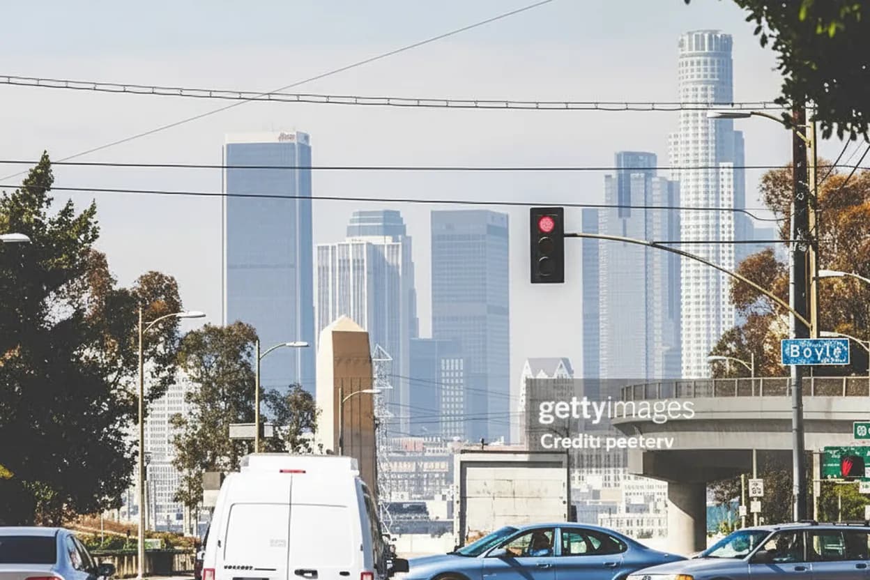
Los Angeles does not have a single “capital district” in the way some state capitals do, so searches for capital district floods information resources need a local translation. For Angelenos, the practical question is whether civic, transit, canyon, coastal, or low-lying routes are safe enough for a simple weekday or weekend plan. On Tuesday, August 4, 2026, the useful move is to check official alerts first, then choose a route that can be shortened without losing the day. This guide centers Downtown, Civic Center, Union Station, the Los Angeles River edge, and cross-town transit choices because those are where weather, drainage, traffic, and public information intersect fastest.
Want a cleaner go-or-wait call before you leave? Text Karpo for a Los Angeles check that links flood alerts, Metro disruptions, and nearby backup stops in one tap.

Civic Center Plaza as the First Alert Check
Start with the City of Los Angeles Emergency Management Department before treating any post or map screenshot as current. Its alerts page points residents to NotifyLA, Alert LA County, Wireless Emergency Alerts, and CalAlerts, which matters if you are moving between Downtown, the Valley, the Westside, and county areas. For a low-effort outing, the best pacing is simple: confirm alerts, save the page, then decide whether Civic Center still belongs on the route.
Civic Center is useful because it concentrates public buildings, Metro access, and visible street conditions, but it is not a flood observation deck. If rain bands, coastal flood advisories, or debris-flow warnings are active, do not walk toward channels, underpasses, or blocked streets to inspect them. The tradeoff is that official feeds may feel slower than social posts; the safer answer is to use social media only as a prompt to verify with the City, County, NWS, or transit operator.
Union Station and Metro Alerts for a Flexible Route
Union Station is the practical hinge for a solo plan, date, or small group because it lets you switch between rail, bus, rideshare pickup, and a clean exit. Before leaving, open Metro’s current alerts page and check rail, bus, elevator, and escalator categories. The official LA Metro app also lists trip planning, real-time arrivals, and service alerts, but a browser check is a useful backup if an app session fails.
The failure mode is assuming a normal line map means normal service. Flooding, disabled elevators, police activity, or street detours can make a route technically open but unpleasant or inaccessible. Build a two-transfer maximum, keep one direct return option, and avoid plans that depend on the last connection of the night. If an elevator is essential, verify that specific station status before boarding, not after you arrive at a platform.

Los Angeles River Paths Without Channel Guesswork
The Los Angeles River is the place where curiosity can become a bad decision quickly. LA City’s severe weather guidance warns that dry rivers, creek beds, deep slot canyons, mountain passes, and valleys can become dangerous during fast-moving flood conditions. For a practical city route, treat river-adjacent paths in Frogtown, Elysian Valley, Atwater Village, and Downtown as conditional, not guaranteed, whenever storm or flood language appears in official forecasts.
A better all-weather version keeps river views optional and uses nearby streets, cafes, libraries, or museums as the actual destination. Do not cross barricades, descend into channels, or use underpasses to test conditions. Accessibility also changes after storms: mud, ponding, closed gates, and damaged pavement can turn a low-difficulty walk into a navigation problem. If official warnings are active, choose an inland venue and save the river walk for a confirmed clear day.
Caltrans QuickMap for Freeways and Canyon Connectors
Driving across Los Angeles during flood concern requires a separate check from neighborhood weather. Caltrans QuickMap displays real-time traffic information, lane closures, full closures, CHP incidents, highway condition notices, message signs, and camera snapshots. That makes it more useful than a generic navigation app when deciding between the 101, 110, 5, 10, 405, or canyon routes that can be affected by crashes, ponding, slope issues, or emergency work.
The tradeoff is interpretation: QuickMap can show a closure or incident, but it cannot tell you whether your whole plan is worth the stress. Use it as a go/no-go filter. If your route needs a canyon road, freeway underpass, or long detour through unfamiliar hills, choose a closer neighborhood instead. For accessibility, check drop-off points and parking conditions too; a destination may be open while the practical approach is blocked or slow.
MyLA311 for Street-Level Problems Near Your Block
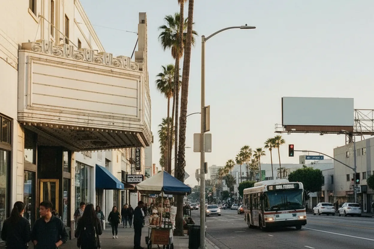
MyLA311 is the right channel for non-emergency city service issues, not immediate danger. The City lists 311 and 213-473-3231 for contact, with online requests available around the clock. That distinction matters after heavy rain: a blocked drain, pothole, illegal dumping, or streetlight issue can be reported there, while life safety, swift water, downed energized lines, or trapped people belong with 911 and emergency responders.
For a visitor or renter, the practical move is documenting location, cross street, photos if safe, and whether the issue blocks sidewalk, curb ramp, bus stop, driveway, or travel lane. Do not stand in traffic or water to improve a report. The backup logic is simple: report what you can verify from a safe place, then reroute. A service request is not a clearance notice, and it should not be used as permission to pass a hazard.
Venice, Wilmington, and Coastal Advisory Decisions
Los Angeles flood planning is not only about inland rain. The City’s emergency pages include tsunami evacuation map references for coastal areas such as Harbor Area, Wilmington, Venice, and West LA, while National Weather Service pages can carry beach hazards, high surf, or coastal flood advisories. If your plan involves Venice, San Pedro, Wilmington, Playa del Rey, or coastal parking lots, check both weather and local emergency channels before committing.
The audience fit changes by companion. Solo travelers can pivot quickly; dates and friends need a clear alternative before everyone is already parked near the beach. Coastal warnings are not invitations to watch waves from low lots, rocks, bike paths, or storm drains. Choose a higher, inland meal or gallery plan when advisories are active. Final check: confirm the alert expiration time and current conditions, because surf and flood timing may not match your dinner reservation.
Text Karpo After the Official Source Check
The final verification action is to compare four live categories: City or County emergency alerts, National Weather Service hazard language, Metro service status if using transit, and Caltrans or local road closure information if driving. If any one category conflicts with your plan, downgrade the outing instead of forcing it. A good Los Angeles flood-day plan has a short route, a seated indoor backup, a direct return path, and no curiosity stops near moving water.
Use Text Karpo after those checks when you want the decision organized, not guessed. Ask for the neighborhood, starting point, mobility needs, companion type, and latest acceptable return time. The useful answer should say go, shorten, switch area, or wait, with links back to official sources. If a changing fact cannot be confirmed, treat that uncertainty as the deciding fact and choose the lower-risk Los Angeles option.
Tags: #AskKarpo #BeforeYouGo #LosAngeles #LAFloodResources #LAWeather #NotifyLA #AlertLACounty #MetroLA #UnionStationLA #CivicCenterLA #CaltransQuickMap #MyLA311 #StormPreparedness #NeighborhoodGuides
Sources consulted: Source 1: emergency.lacity.gov · Source 2: emergency.lacity.gov · Source 3: waterforla.lacounty.gov · Source 4: waterforla.lacounty.gov · Source 5: alerts.metro.net · Source 6: quickmap.dot.ca.gov
All trademarks are the property of their respective owners.
Ask Karpo first
Tell Karpo your date, group size, budget, and starting point. We’ll check current access, timing, transit, and the cleanest Los Angeles plan for verified public venues and neighborhoods across Los Angeles before you head out.


