For Los Angeles travelers eyeing a clear-morning run up the coast, the question is not whether Big Sur is beautiful; it is whether the route, air, and local access still support a casual coffee stop. As of the latest official updates reviewed for Tuesday, August 11, 2026, CAL FIRE lists the Timber Fire in Monterey County, with evacuation orders and warnings reported by Monterey County and firefighting activity along the Highway 1 corridor. Caltrans still shows SR 1 as open through central California with one-way controlled traffic at Rocky Creek Bridge, but that can change quickly. Treat every cafe plan north of San Simeon as provisional until you verify it the same morning.
Want a faster gut check before you leave LA? Text Karpo with your route, coffee stop, and departure time to compare fire, road, and backup options in one place.

Santa Monica Freeway Departure Window
Leaving Los Angeles early helps with ordinary traffic, but it does not solve the fire-status problem. If you are starting from the Westside, Silver Lake, or the Valley, check official updates before entering the 10, 101, or 405 flow, not after you are already committed. A solo morning drive gives you flexibility, yet fatigue builds fast on a route that can exceed a normal day trip once detours, smoke, or turnarounds appear.
Use the first coffee stop inside LA or Ventura County as your decision point, not Big Sur itself. If CAL FIRE or Monterey County posts a new evacuation expansion, emergency-traffic warning, or public-access limit, convert the trip into a closer coast day. The practical win is avoiding a long northbound push that ends with no legal pullout, no reliable cell service, and no easy place to reassess calmly.
Caltrans SR 1 Road Information Page
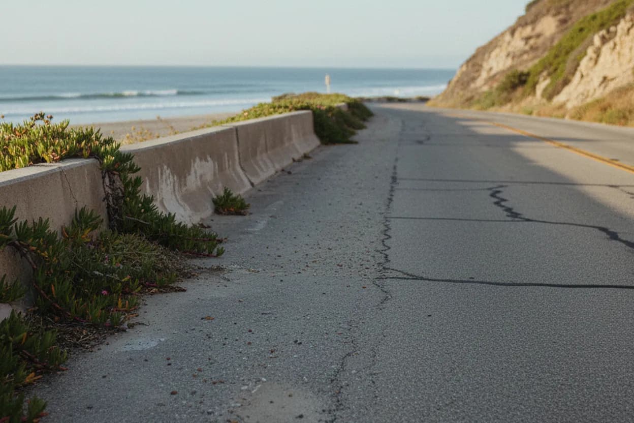
Caltrans is the first source to check for the driving surface and legal access on California State Route 1. Its road-information page reported no Southern California SR 1 restrictions and, for central California, one-way controlled traffic at Rocky Creek Bridge, 15.7 miles south of Monterey, around the clock through 6:00 a.m. on August 31, 2026, due to construction. That is separate from a fire closure, and both conditions matter.
The failure mode is reading a scenic-drive blog or map app as if it were an official clearance. Navigation apps can lag emergency operations, and a cafe’s social post may not capture a sheriff closure nearby. If Caltrans changes SR 1 to a closure near Point Sur, Rocky Creek, or another Big Sur marker, do not route around barricades on local roads. The coffee stop is optional; the public-safety boundary is not.
CAL FIRE Timber Fire Incident Page
CAL FIRE’s Timber Fire page is the best single place to understand why big sur fire searches are spiking. The incident page listed the fire southeast of Loma Vista in Monterey County, under Los Padres National Forest jurisdiction, with 1,723 acres, 5 percent containment, and a last update on August 10, 2026 at 7:45 p.m. It also noted the cause was under investigation, which means speculation should stay out of your travel plan.
For coffee-stop planning, the most important CAL FIRE detail is operational movement along Highway 1. The update said crews were working to build containment lines along the corridor, with emergency personnel and equipment present. Even where SR 1 is open, that is not an invitation to linger, park on shoulders, or chase views of smoke. A safe traveler keeps moving, avoids active response areas, and treats visible aircraft as a cue to give the coast more space.
Monterey County Evacuation Zone Map
Monterey County’s emergency page reported evacuation orders for zones MRY-F025, MRY-F026, MRY-F027, and MRY-F028-A, with warnings for MRY-F024 and MRY-F028-B. For an LA visitor, the zone labels are not decoration; they are the access rule that determines whether a desired cafe, turnout, trailhead, or roadside view is inside a restricted area. Open the incident map before choosing any stop south of Carmel.
If a coffee shop appears outside an order but near a warning zone, call or check its own current channel only after confirming county access. Businesses may close for staffing, smoke, power, road-control, or community reasons even when a route technically remains open. Do not make employees explain emergency conditions repeatedly by phone if official pages already show instability; use the call for final confirmation, not for basic fire intelligence.
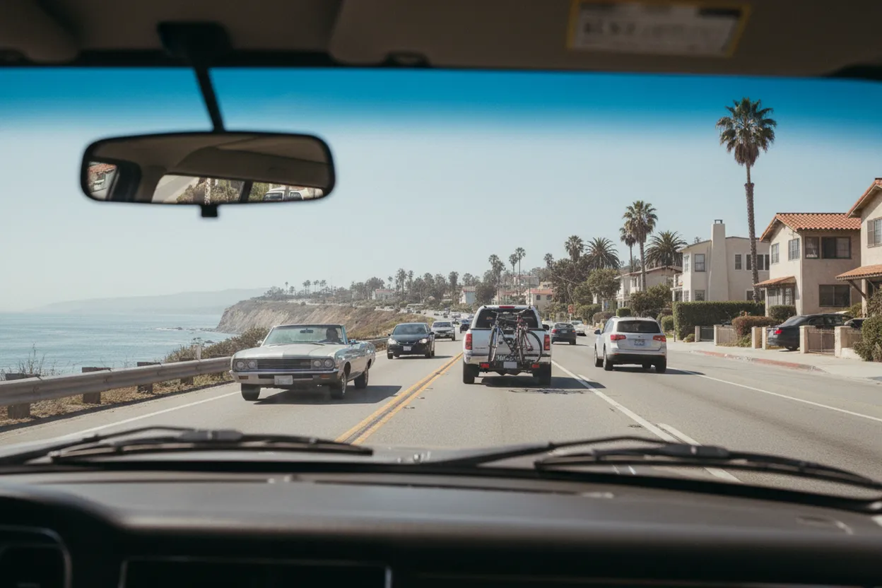
Point Sur Lighthouse Vista Point
Point Sur Lighthouse and the nearby Vista Point are useful landmarks because CAL FIRE specifically referenced State Route 1 access there. On August 10, an update said SR 1 was open for Point Sur Lighthouse Vista Point and near Mile Marker 37.5, while warning drivers to watch for emergency personnel and equipment. That language supports cautious through-travel, not an unhurried sightseeing or coffee-photo stop.
For accessibility, assume pullouts near an active incident may be constrained even when the road is passable. People using mobility aids, traveling with service animals, or needing predictable restrooms should avoid making Point Sur the first essential pause. Choose confirmed facilities in Carmel, Monterey, San Luis Obispo, or Santa Barbara instead. A beautiful roadside stop becomes a bad plan when parking, smoke, or sudden traffic control removes the margin you need.
Big Sur Chamber Highway 1 Conditions Page
The Big Sur Chamber’s Highway 1 conditions page is a helpful local context source because it tracks reopening history and visitor-facing road messages, including the 2026 restoration of through travel between Cambria and Carmel after Regent’s Slide work. Use it as a companion to Caltrans, not a replacement. It can help you understand whether a coffee stop is part of a normal visitor corridor or a fragile recovery area.
For Los Angeles travelers, this matters because the coastal coffee fantasy often assumes a smooth northbound ribbon from Malibu to Big Sur. The real route passes through communities with limited shoulder space, limited services, and high visitor pressure. If the chamber, county, and Caltrans signals disagree, follow the stricter official emergency or road-control source and shift the treat stop to Morro Bay, Cambria, Carmel, or back in LA.
Carmel Middle School Shelter Check
A shelter listing is not a sightseeing detail, but it tells visitors the incident is affecting real households. Monterey County reported an evacuation shelter at Carmel Middle School, 4380 Carmel Valley Road, Carmel, scheduled to open at 7:00 p.m. Monday, August 10, with support from the County and American Red Cross. That should reset the tone of any leisure plan built around coastal coffee and dessert stops.
Your final verification action is simple: within one hour of departure, reopen Caltrans SR 1, the CAL FIRE Timber Fire page, Monterey County’s incident page, and your intended cafe’s current channel. If any source shows a closure, evacuation order near the stop, unhealthy smoke, or unclear access, do not drive into Big Sur. Pick a confirmed open coastal cafe south of the affected area and keep emergency routes clear.
Tags: #LosAngeles #BigSur #Highway1 #BigSurFire #TimberFire #CaliforniaTravel #RoadTripSafety #CoffeeStops #CoastalDrive #MontereyCounty #Caltrans #TravelUpdate #AskKarpo #BeforeYouGo
Sources consulted: Source 1: roads.dot.ca.gov · Source 2: fire.ca.gov · Source 3: readymontereycounty.org · Source 4: bigsurcalifornia.org · Source 5: fs.usda.gov
All trademarks are the property of their respective owners.
Ask Karpo first
Tell Karpo your date, group size, budget, and starting point. We’ll check current access, timing, transit, and the cleanest Los Angeles plan for California State Route 1 before you head out.