 Shoreditch Comic Shop Crawl Planner: Murals to Manga
Hidden Gems & Odd Finds
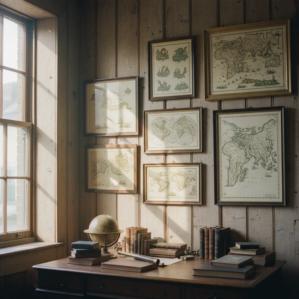
Bloomsbury Vintage Map Print Browsing Walk: Wall Art Guide
Explore historic Bloomsbury cartography corridors and antique copperplate prints. Ask Karpo APP for nearby places, then choose your own paper browsing stops.
Bloomsbury possesses an enduring scholarly grace that makes it an incomparable quarter for an antique cartography stroll. Tree-lined garden squares open onto quiet Georgian corridors where second-hand bookdealers, print sellers, and ephemera specialists have tended paper collections for generations. Walking these quiet pavements with an eye for cartographic prints allows you to slow your pace and engage with the visual history of exploration, urban design, and maritime navigation. Whether you are searching for a statement framed map of eighteenth-century London parishes to anchor a living room wall or simply delight in turning through archival sleeves of delicate county surveys, the neighborhood rewards attentive wandering. Here, under the soft morning light filtering through plane trees, the search for vintage paper becomes a tactile journey through time and craftsmanship.
The Tactile Heritage of Copperplate Engravings
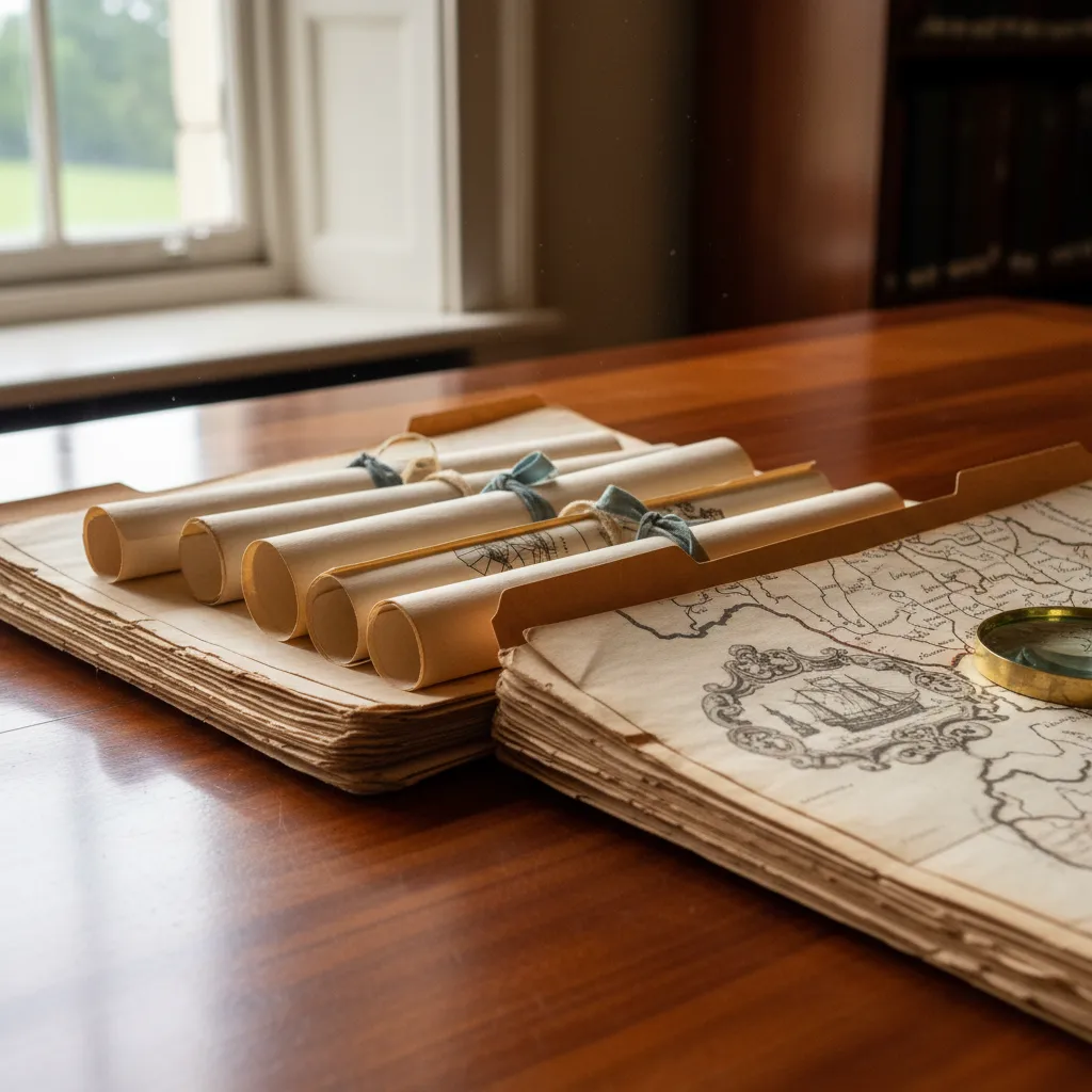
Antique maps produced before the mid-nineteenth century carry an unmistakable physical presence rooted in historical intaglio printmaking techniques. Master engravers carved reversed geographical lines, flourishing cartouches, and intricate ocean hatching into polished copper plates before rolling damp rag paper through heavy wooden presses. As you gently inspect loose prints in protective archival sleeves, observe the distinct plate mark indentation pressed into the margins, signaling genuine hand press production. The texture of antique laid paper, with its subtle horizontal chain lines and occasional paper mill watermarks visible against daylight, creates an organic warmth that modern digital reproductions cannot replicate.
Coloration provides another captivating dimension for cartographic enthusiasts wandering through Bloomsbury print drawers. Early cartographers frequently commissioned professional colorists to delineate county boundaries, coastal contours, and parish territories with translucent watercolor washes mixed from mineral pigments and botanical dyes. Verdigris greens, ochre yellows, and cochineal carmines soften into gentle pastel tones over centuries of careful preservation. Appreciating these nuanced variations in pigmentation requires taking a quiet moment by a window, tilting the sheet gently to observe where original hand coloring accents the engraved ink lines without obscuring the underlying geographical typography.
Browsing Print Drawers and Archival Folios
Stepping into a specialized antiquarian paper gallery requires a calm, methodical mindset quite distinct from ordinary retail browsing. Deep wooden plan chests and velvet-lined display stands hold countless folios arranged chronologically or by geographic region. When sifting through loose map sleeves, handle each sheet by supporting the backing board rather than gripping fragile paper borders directly. Experienced print merchants take pride in organizing comprehensive holdings of regional surveys, colonial route charts, and decorative bird's-eye views, and they are usually delighted to answer thoughtful questions regarding provenance, state editions, and publication dates.
Do not hesitate to articulate the particular aesthetic or regional focus guiding your personal quest. Whether you gravitate toward the clean geometric precision of Victorian ordnance surveys, the whimsical decorative sea monsters of seventeenth-century continental atlas sheets, or early railway network plans, sharing your interest often encourages staff to retrieve specialized portfolios from reserve stock cabinets. Taking notes on paper dimensions, sheet margins, and condition grades as you browse helps you compare discoveries objectively before deciding which singular piece deserves a permanent place in your home.
Garden Squares and Architectural Contemplation
One of the greatest virtues of a cartographic walk through Bloomsbury is the seamless interplay between secluded paper shops and verdant public gardens. After an hour spent studying fine engraved script under gallery lamps, step out into the dappled shade of historic garden enclosures like Russell Square or Bedford Square. Sitting on a weathered timber bench while watching birds flit through ornamental shrubbery provides a restorative pause for tired eyes. The surrounding symmetry of Georgian brick facades, wrought-iron railings, and classical stucco porticos mirrors the orderly aesthetic principles that guided eighteenth-century town planners and surveyors.
These green spaces also offer an inspiring setting to examine your printed gallery notes or reflect on the spatial evolution of the district. Opening a historic plan of London while standing in the very neighborhood it depicts creates an exhilarating sense of historical connection. You begin to notice original street alignments, former coach house passages, and long-standing mews lanes that have survived virtually unaltered amidst modern urban shifts, transforming a simple shopping excursion into an immersive historical exploration.
Evaluating Condition and Archival Framing Needs
Collecting vintage cartographic prints requires balancing an appreciation for historic character with an informed eye for conservation standards. Minor foxing spots, gentle centerfold creases from atlas bindings, and light perimeter toning are natural hallmarks of aged paper that often enhance a print's authentic appeal. However, discerning collectors learn to distinguish benign age patinas from severe structural issues such as brittle acidic backing boards, adhesive tape residue, or aggressive modern trimming that removes original plate margins and printer publication imprints.
If your intention is to mount a vintage map print as prominent wall art, planning for proper conservation framing is essential. Archival mounting demands acid-free cotton rag matting, reversible wheat starch paste hinges, and ultraviolet-filtering glazing to protect delicate watercolor pigments and century-old fibers from sunlight degradation. Choosing a frame profile that honors the piece's historical era, such as a simple dark stained walnut moulding or an understated antiqued gilt profile, ensures that the cartographic artwork remains the focal point while harmonizing gracefully with modern interior spaces.
Pairing Map Searches with Bookish Refreshment
A leisurely paper-hunting stroll through Bloomsbury naturally invites pauses for quiet refreshment in the neighborhood's literary coffee houses and historic tea rooms. Tucking into a cozy corner booth with a notebook allows you to sketch prospective wall gallery layouts and review the geographic regions you have surveyed throughout the morning. The neighborhood's distinct intellectual atmosphere fosters quiet concentration, making it easy to spend an unhurried hour comparing notes over a ceramic mug of fragrant Earl Grey or a carefully poured flat white.
Surrounding yourself with fellow readers, architectural researchers, and book collectors cultivates a wonderful feeling of shared curiosity. Conversations overheard at neighboring tables frequently touch upon archival acquisitions, rare editions, and historical exhibitions, reinforcing Bloomsbury's status as the intellectual heart of London. By pacing your outing with regular stops for tea and contemplation, the process of finding meaningful vintage artwork becomes an enriching cultural ritual rather than a hurried retail errand.
Finding Nearby Places Around Bloomsbury
A Bloomsbury paper outing can begin with a question about what you enjoy collecting: city plans, maritime charts, or an engraving small enough for a study wall. Ask the Karpo APP for nearby place recommendations that fit those interests, then read the suggestions and choose your own stops. Carry a notebook for print dimensions and questions about condition. You decide which streets to follow and whether to add a garden pause. Giving yourself room to linger over a promising sheet keeps the day centered on careful looking, conversation, and the pleasure of finding something personally meaningful.
If you would like a coffee or garden pause after looking at prints, ask the Karpo APP for nearby place recommendations. Read those suggestions and choose a stop that suits your mood; decide independently how to get there. Keep any favorite print details in your own notebook, including the size, paper condition, and questions you want to ask a seller. A little reflection away from the display can help you decide whether a particular map belongs in your home.
Ask Karpo for more information.
Keep reading
- Shoreditch Comic Shop Crawl Planner: Murals to Manga
 Bermondsey Comic Shop Crawl Planner: Zines Under the Arches
 Clapham Comic Shop Crawl Planner: Charity Shelves and Common