 Clapham Bouldering Gym Finder: New in Town, Climb to Mingle
Sports Social
London Scenic Cycling Route Planner: Waterlink Way Trail
Plan a scenic South London bike tour along Waterlink Way from Cutty Sark Greenwich to Beckenham Place Park using the Karpo APP route planner.
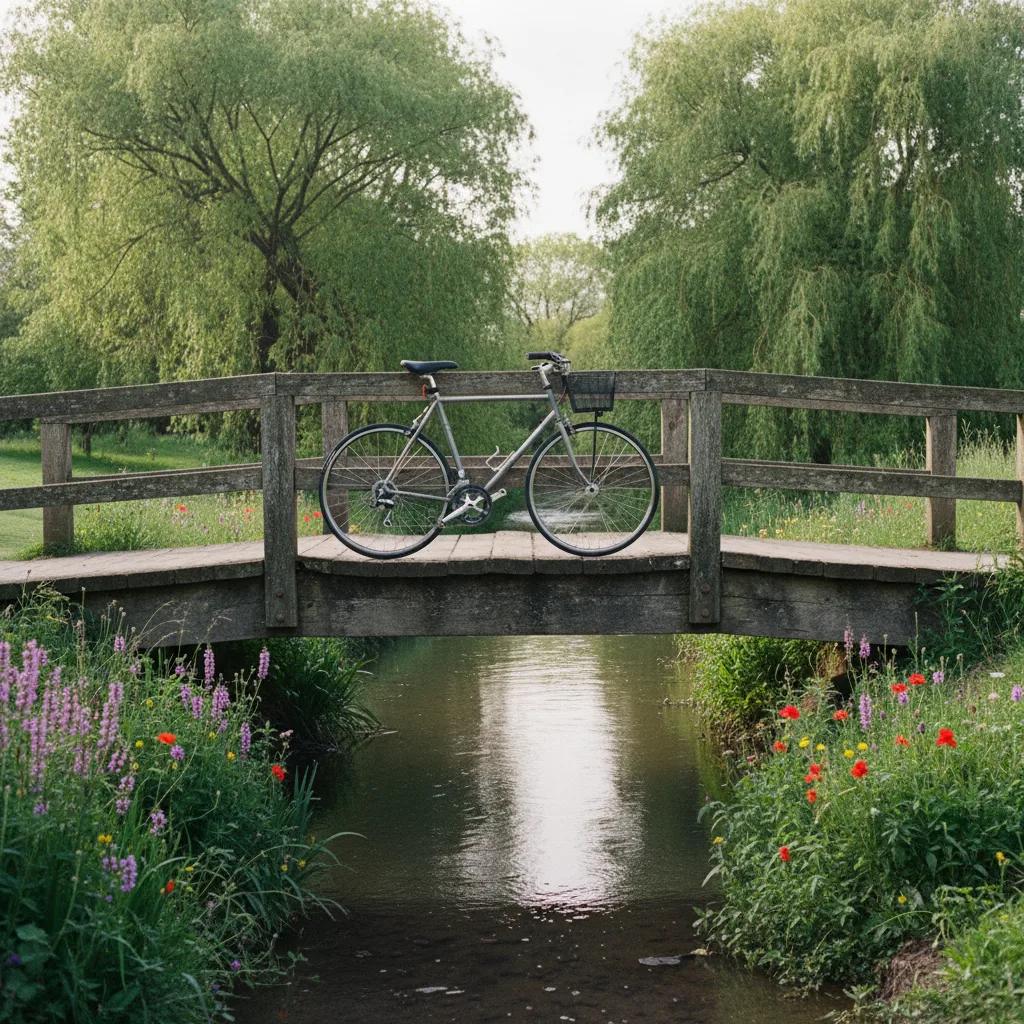
Hidden behind the dense Victorian streets of South East London lies Waterlink Way, an eight-mile designated greenway that follows the gentle valleys of the Rivers Pool and Ravensbourne. Officially designated as National Cycle Network Route 21, this scenic cycling route planner connects the maritime grandeur of the Cutty Sark in Greenwich directly to the sprawling woodland of Beckenham Place Park. First established as a continuous recreational chain in the late twentieth century, the route preserves the historic river corridor where nineteenth-century merchant ships, including the tea clipper Cutty Sark launched in 1869, unloaded goods onto tidal wharves. Riding Waterlink Way reveals an interconnected sequence of tranquil river parks, quiet residential avenues, and woodland reserves that remain largely unknown to everyday tourists.
Path Infrastructure and Riding Conditions
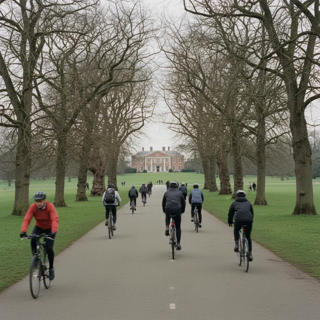
Waterlink Way is engineered primarily as a traffic-free, shared-use walking and cycling corridor. The vast majority of the route is paved with smooth asphalt paths that meander through public parks including Brookmill Park, Ladywell Fields, and River Pool Linear Park. Brief road connectors utilize traffic-calmed residential streets with speed humps and designated bicycle priority markings. The route features very little climbing, gently ascending only fifty meters across its entire eight-mile length, making it ideal for casual leisure riders, families, and riders on folding town bikes.
River Restorations and Park Highlights
A defining delight of Waterlink Way is witnessing modern urban river restoration in action. At Ladywell Fields and Cornmill Gardens, formerly concrete-channeled rivers have been renaturalized into meandering gravel streams with shallow gravel beaches and wetland reedbeds. Grey wagtails, kingfishers, and damselflies flit along the banks where children paddle in summer. Pedaling alongside these living streams offers a continuous reminder of nature thriving within the urban fabric.
Bicycle Share and Staging Points
Cyclists starting from Greenwich can utilize Santander Cycles docking stations situated outside the Cutty Sark DLR station and Greenwich Pier. However, Santander docking boundaries terminate near Deptford Creek, so riders planning to travel the full length to Beckenham must use private bicycles or dockless operators like Lime and Forest, which cover Lewisham and Bromley boroughs. Convenient staging points with secure bike parking include Greenwich Park gates, Lewisham Station, and Ladywell Station.
Midpoint Pauses and Park Cafés
Along the route, numerous community park pavilions provide excellent refreshment pauses. In Ladywell Fields, the park café serves specialty coffee and freshly baked sourdough treats beside the river bridge. At the southern terminus inside Beckenham Place Park, the restored eighteenth-century Georgian mansion houses the Mansion Bar and Homestead Café, where riders can relax on picnic lawns overlooking mature woodland. Public drinking water taps are situated near the athletic tracks in Ladywell and inside Beckenham Place Park courtyard.
Navigating Railway Crossings and Ramps
Because Waterlink Way follows a river corridor that parallels several South London railway lines, the route occasionally crosses rail tracks via dedicated pedestrian footbridges and underpasses. These crossings feature shallow ramps designed for effortless bicycle roll-throughs, though slowing down around blind turns on bridge approaches is essential to yield space to oncoming pedestrians and dog walkers.
Bicycle Setup and Equipment
Standard commuter, hybrid, and road bicycles perform flawlessly along Waterlink Way thanks to consistent tarmac surfaces. During late autumn, wet leaves can accumulate on shaded park curves along the River Pool, so tires with light all-weather siping inflated to comfortable pressure ensure reliable grip. Carrying a small bell to announce your presence around winding river corners keeps interactions with local strollers friendly and stress-free.
Parkland Biodiversity and Native Woodland
The southern terminus inside Beckenham Place Park encompasses nearly two hundred and fifty acres of ancient woodland, meadows, and a purpose-built swimming lake. Towering oak, sweet chestnut, and beech trees create a magnificent forest canopy that shifts into dazzling amber tones in October. Cyclists can lock their bikes outside the visitor courtyard and take a quiet stroll along signposted nature trails that reveal rare woodland fungi and active woodpecker colonies.
Signposting and Wayfinding Milestones
Navigating Waterlink Way is exceptionally intuitive thanks to distinctive blue National Cycle Network Route 21 signposts and embedded pavement plaques depicting native kingfishers and water voles. Where the trail transitions briefly through quiet Lewisham side streets, painted white bicycle roundels on the asphalt keep you oriented toward the next river park entrance without requiring constant stops to consult paper maps.
Extensions into the North Downs
Ambitious touring cyclists can treat Waterlink Way as the launchpad for longer regional journeys. As part of National Cycle Route 21, the trail continues south past Beckenham toward Addington Hills, the chalk ridges of the North Downs, and eventually all the way to the South Coast at Eastbourne. Leaving London via this peaceful river greenway provides an uninterrupted traffic-free escape from central London right to the Sussex border.
Community Stewardship and Green History
The preservation of Waterlink Way reflects decades of dedicated local community stewardship that revitalized contaminated post-war industrial river corridors into protected urban greenways. Volunteer river cleanups and native tree-planting initiatives have restored natural gravel beds, allowing brown trout to spawn once again in the upper reaches of the River Ravensbourne. Respecting trail speed limits and disposing of litter responsibly honors this community conservation achievement.
Tire Pressure and Weather Adaptations
Paved park paths can become slick when morning mist coats fallen plane tree leaves. Lowering your tire pressure by five to ten pounds per square inch enlarges the tire contact patch, providing markedly improved traction through damp wooded chicanes. Equipping your bicycle with durable clip-on mudguards keeps your jacket clean, ensuring a comfortable transition from wet morning park trails to indoor café seating.
Family Cycling and Child-Friendly Stretches
Because the trail avoids steep hills and traverses wide park greenswards, it serves as one of the best family cycling routes in the capital. The gentle flat paths through River Pool Linear Park and Ladywell Fields allow younger riders to pedal safely without encountering road vehicles. Parents can stage relaxed breaks beside natural playgrounds and shallow gravel paddling zones while children explore safely within designated park boundaries.
Customising Your Green Ride with Karpo APP
Karpo APP helps you navigate the subtle neighborhood transitions of Waterlink Way without missing a single turn. The app alerts you to scenic riverside detours, highlights step-free train stations along the Thameslink and Southeastern lines like Catford Bridge and Lower Sydenham, and adjusts your route in real time if local park maintenance requires a brief diversion onto quiet residential streets.
Ask Karpo for more information.
Keep reading
- Clapham Bouldering Gym Finder: New in Town, Climb to Mingle
 Marylebone Bouldering Gym Finder: Lunch Break Climbs
 Notting Hill Bouldering Gym Finder: Family Climbing Weekends