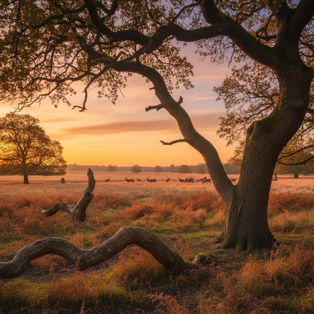
 Richmond Park Sunset Viewing Planner: Deer Meadow Horizons
Weekend Plans
London Panoramic City Lookout: Read Northala's 4 Hill Shapes
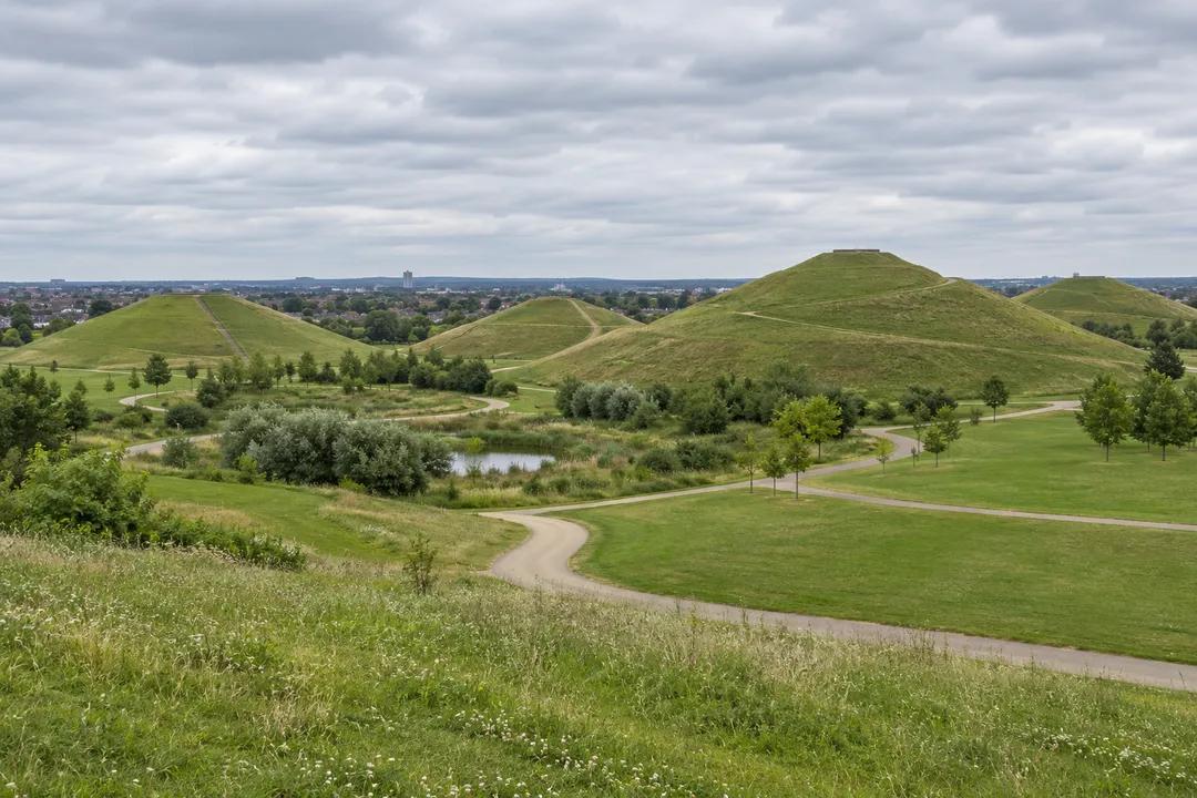
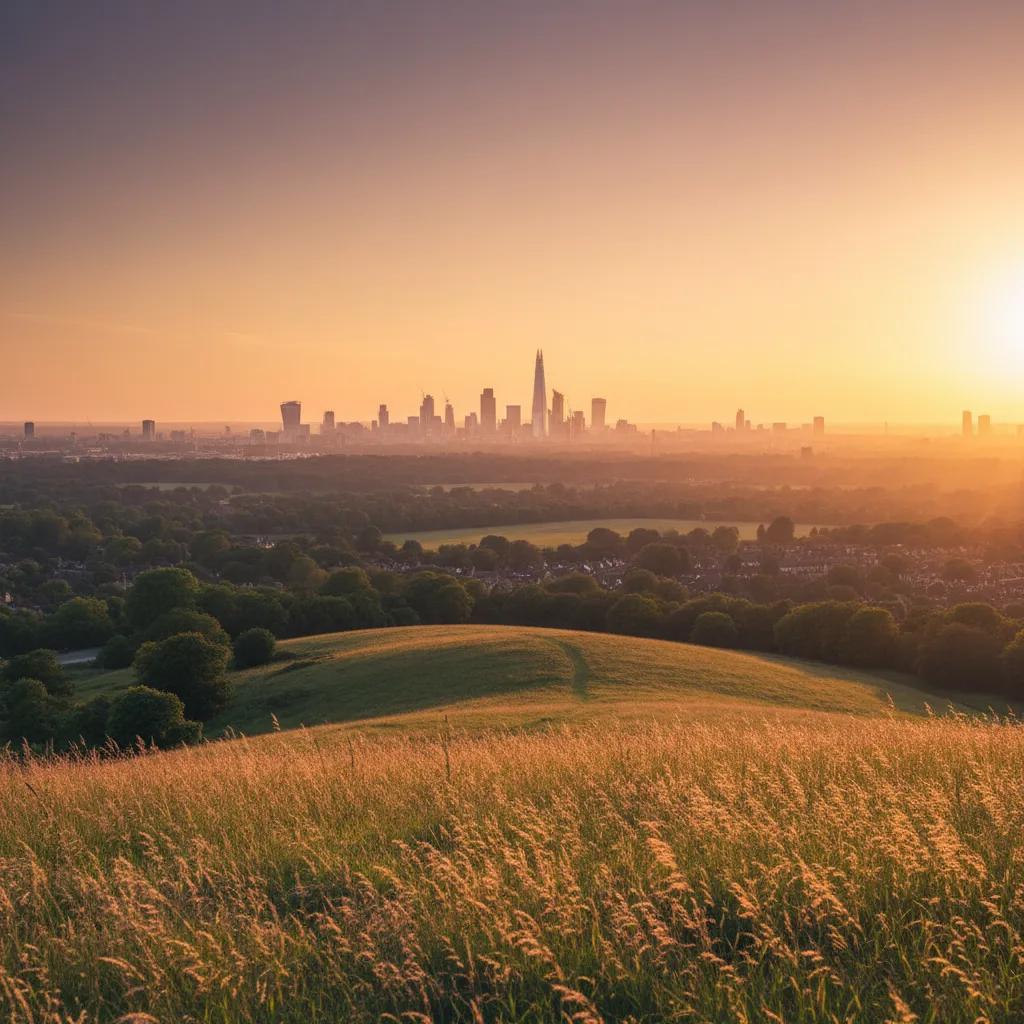
Northala Fields in Northolt offers a London city lookout centred on grassy hill shapes, with contour drawing and camera exercises for a looking-led visit.
Northala Fields makes the shape of a hill part of the view. Its four grassy mounds give this London panoramic city lookout a different subject from a roof terrace or a famous skyline: the landscape immediately around you. Come with the aim of noticing how a path, a slope and a distant edge fit together. A small sketchbook works particularly well here, because drawing makes you decide which lines matter before distant detail takes over the page.
Begin with the hill rather than the horizon
Before looking for a recognisable building, study the outline of the mounds. The rounded profile is simple enough to hold in your head, yet it changes as you move. A slope seen face on becomes a narrow shoulder from another position. Instead of treating that change as an obstacle between you and the panorama, make it the subject. Your first drawing could contain nothing more than the meeting of grass and sky, with a line beneath it for the path.
Northala is in Northolt, within the London Borough of Ealing. That setting matters to the expectations you bring. This is a park landscape in the wider city, rather than a close collection of central London towers. Skip it if your only ambition is a tightly packed postcard of famous monuments. Choose it when you want to explore how made land can become a place to look from, and something worth looking at in its own right.
Trace a contour without turning it into a map
Choose a visible curve and follow it with your eyes. Notice where it disappears behind the ground, where its direction becomes uncertain and where another line takes over. Draw the confident section first, then leave a gap rather than guessing what lies beyond it. This is a useful exercise for a beginner: you do not need an explanation of every part of the park before you can record one relationship accurately.
On a second sheet, exaggerate the distinction between the steep side of a form and the flatter ground around it. Use heavier pressure for one and a lighter touch for the other. The result will be an interpretation, not a survey, and that is the point. Label it as a study of what you saw from your chosen position. Avoid writing measurements or compass directions unless you have actually established them.
A camera exercise with no landmark checklist
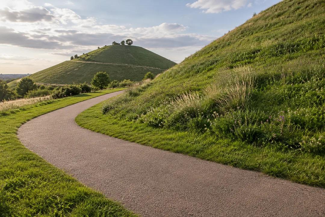
For a first photograph, let a mound occupy more of the frame than feels comfortable. Look at the wedge of sky that remains, then try another picture with the proportions reversed. The two images can describe the same place with completely different emphasis. One is about a substantial green form. The other is about an open sky interrupted by land. Keep both long enough to compare them before deciding which expresses your visit more clearly.
Use a normal camera view before reaching for the widest setting. An extremely wide lens can make the foreground seem dramatic while pushing everything beyond it into insignificance. If the relationship between neighbouring mounds interests you, a more restrained frame may explain it better. Do not walk backwards while composing. Stop the camera exercise before changing position, look at the path, then set up the next picture from a place where you can stand without blocking anyone.
Let distance remain uncertain
A panorama does not have to become a naming test. Where the distant city appears small, record its character instead: a broken edge, a pale strip, or a darker interruption in the horizon. Leave out features you cannot identify. An honest note saying that the background merged into haze is more useful than a confident list of buildings selected from memory. It preserves the conditions of your own observation without pretending that every visit offers the same view.
This is also a chance to notice the limits of an image. A photograph can flatten a rounded hill into a triangular shape. A drawing can exaggerate the separation between foreground and distance. Put the two beside each other and ask which relationship each one explains. You may find that the less polished sketch says more about the slope, while the photograph records a fleeting arrangement of cloud that you had already forgotten.
Make a shared outing into two different records
If you come with a companion, give yourselves different subjects. One person could concentrate on the ground and its curves, while the other considers the sky above them. There is no need to manufacture a competition or agree on a winning picture. Bring the records together afterwards and describe one thing you missed in the other person's version. The conversation becomes specific because you have each made a choice, rather than both trying to capture everything.
For a child who enjoys drawing, a silhouette can be a better starting point than a detailed landscape. Suggest drawing a single mound as a continuous outline, then adding the smallest mark that makes it feel like a real place. It might be a path or a patch of grass. Let the child choose. Avoid turning an unstructured park visit into a compulsory art lesson, and stop the exercise when looking begins to feel like homework.
Use the return walk to revise the first impression
As you move back through the park, look for an ordinary angle on the forms that seemed impressive earlier. A mound partly hidden by another can be more revealing than the most complete panorama. Compare that overlap with your opening sketch. Does the shape still look as simple as you thought? This gives the walk a modest narrative: an initial idea, a closer look, and a revision based on something you actually noticed.
You do not need to add another attraction to make that narrative count as an outing. Stay with the relationship between the mounds and the surrounding park. A longer neighbourhood walk is a separate decision, based on the energy and interests of your group. Avoid attaching an ambitious route simply because a map makes nearby places look close. The visual exercise can end when you have one clear observation worth taking away.
Practical Notes for a looking-led visit
Pack a pencil that does not require elaborate preparation and paper you can hold securely. If drawing is unfamiliar, use a few small frames instead of one large blank page. Keep bags and loose materials beside you rather than spread across the path. Choose positions that leave room for other visitors to pass. These are suggestions for an unobtrusive visit, not claims about a dedicated drawing area or a particular seating arrangement.
Treat the weather as part of the composition rather than a reason to force the planned image. If visibility is poor, work with the nearby forms. If conditions make standing and drawing uncomfortable, put the materials away and shorten the visit. You can use the Karpo APP to ask about another kind of London outing, but this article does not promise live visibility reports or an assessment of conditions on the hills. The worthwhile result here is a record of what you could actually see.
Ask Karpo for more information.
Keep reading
- Richmond Park Sunset Viewing Planner: Deer Meadow Horizons
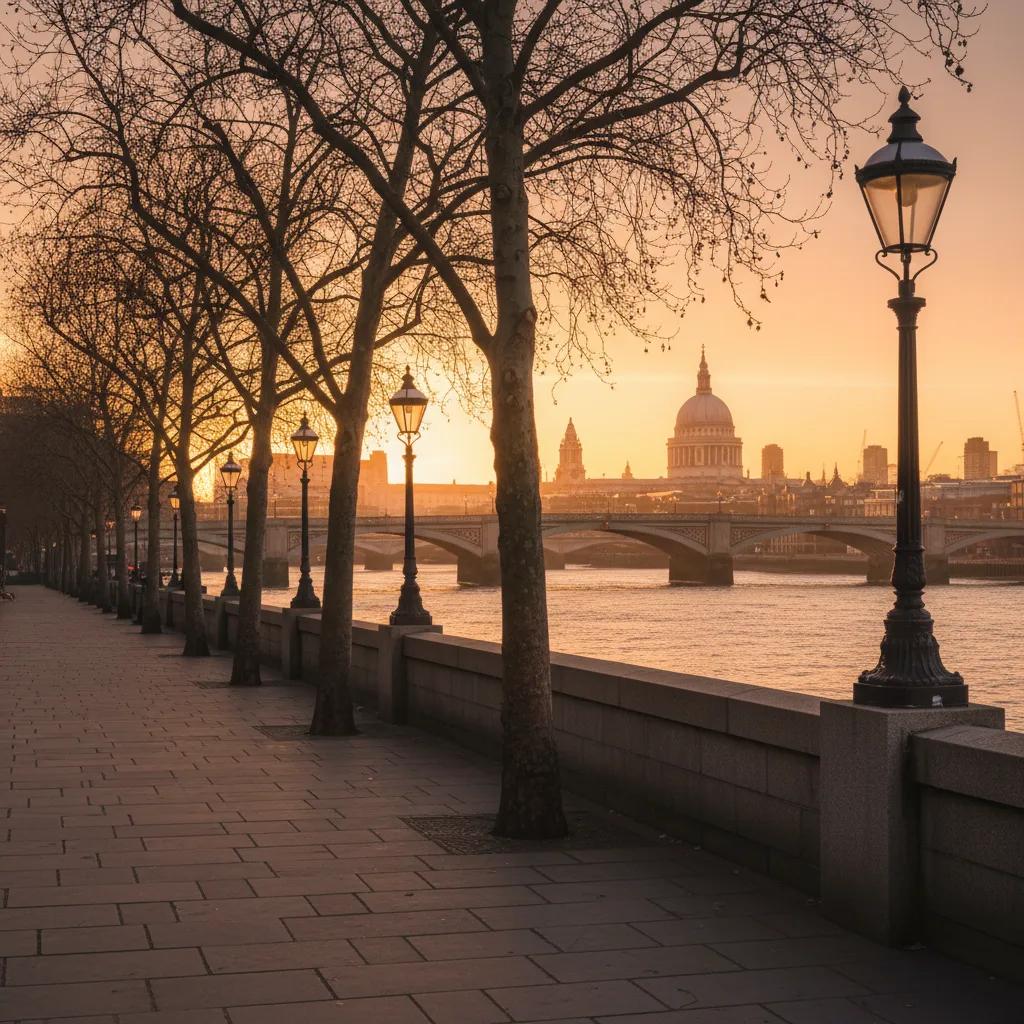 South Bank Sunset Viewing Planner: Thames Riverside Walks
 Parliament Hill Sunset Viewing Planner: London Heath Vistas