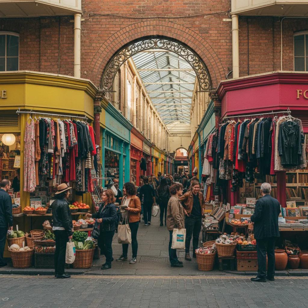
 Brixton Vintage Thrift Shop Finder: South London Retro Gems
Hidden Gems & Odd Finds
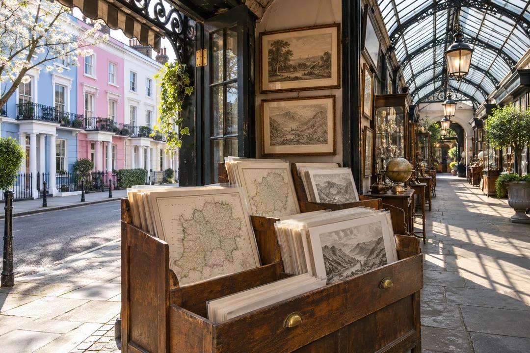
Notting Hill Map Print Shop Browsing Guide: Arcade Stalls
Explore Notting Hill map and print stalls along Portobello Road and Kensington Park Road with free entry. Check paper watermarks and wrap prints for transit.
Two flatmates cycling over from Shepherd's Bush lock their bikes near Westbourne Grove and walk toward the upper stretch of Portobello Road before the mid-morning weekend crowd thickens. Following a map print shop browsing guide in Notting Hill requires a different rhythm from quiet West End galleries because specialist map dealers here sit tucked inside multi-dealer antique arcades as well as small corner parlour shops off Kensington Park Road. Arriving early gives you elbow room at the wooden browser bins and lets you chat with stallholders while they are still setting out newly mounted county sheets, canal plans, and Victorian transport surveys.
Timing the Portobello Arcades and Side-Street Print Parlours
Walk the slope of Portobello Road from the Chepstow Villas end down toward Elgin Crescent during the first hour of trading if you want to flip through folio racks without jostling shoulder bags in narrow arcade aisles. Inside the covered passages, cartography and topographical engraving stalls often sit two or three bays back from the street doorway, shielded from wind and drizzle where paper stays flat and dry even on blustery autumn mornings. Stallholders have time early in the day to pull unframed county folders from under their baize tables and explain the provenance of each atlas plate.
Once the main thoroughfare grows busy with street-food queues and brass-hardware browsers, pivot one block west to Kensington Park Road or across to Pembridge Road. The permanent ground-floor print shops on those calmer residential corners keep deeper drawer stock of West London parish sheets, Kensington palace garden views, and Thames reach surveys that never get carried out to pavement bins. Ask the shopkeeper if they have a separate portfolio of unmatted sheets under the counter, as many dealers save their widest double-page county plans for collectors who ask by region.
Travel light when browsing covered market arcades. Leave bulky rucksacks with your companion outside or carry a slim rigid art folder under one arm so you can turn through forty mounted sheets in a narrow timber trough without knocking neighbouring frames on the stall partition. Wearing fingerless gloves on chilly market mornings also lets you handle sleeved backing boards deftly without fumbling.
Checking Laid Paper Chain Lines and Watermarks Under Stall Lamps
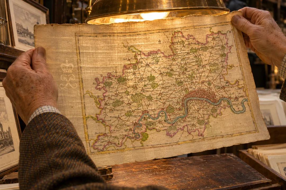
Because market arcades mix specialist antiquarian map dealers with general vintage decorators, knowing how to tell handmade laid paper from modern smooth card stock is essential. Ask the stallholder to slip an unmounted county map or London ward plan partway out of its cellophane sleeve and hold it up toward a warm overhead bulb. Genuine pre-industrial rag paper reveals closely spaced wire lines crossed every inch or so by heavier translucent chain lines, often accompanied by a watermark emblem near the centre of the sheet.
Look at the reverse side of miniature county maps—such as the popular pocket road strips and county tables sold in Notting Hill bins. Many seventeenth- and eighteenth-century pocket maps were printed with English descriptive text, heraldic coats of arms, or mileage tables on the back; seeing that original letterpress show faintly through the rag fibres shows the sheet came from an early pocket atlas rather than a twentieth-century calendar reprint.
Examine the bevel of the window mount itself if a print is already matted for quick sale. If the inner cut edge of the mount board has turned dark brown and brittle, the mat is old acidic wood-pulp card that can leave a burn line on the map paper over time. Plan to swap that outer board for fresh conservation cotton matboard as soon as you get the print home so the rag paper stays supple and clean. You can also ask the dealer to lift one corner of the overmat so you can check whether the wide blank margin and engraved scale bar are still intact underneath.
Pairing Botanical, Architectural, and County Maps for a Gallery Wall
One advantage of browsing Notting Hill's multi-category print stalls is the chance to pair a local topographical sheet with natural history or architectural plates from the same era. Hanging a hand-coloured parish plan of Kensington and Hammersmith beside two copperplate botanical studies from an eighteenth-century London herbal creates a lively study wall that feels collected over years rather than bought as a matched set.
Keep a consistent visual thread when mixing subjects across two or three stalls: match either the paper tone, the century of engraving, or the wash palette. For example, an uncoloured black-and-white steel engraving of the Great Western Railway terminus at Paddington pairs cleanly with an uncoloured architectural elevation of a Regency terrace, whereas a softly tinted county map of Middlesex belongs beside gentle watercolour views of the Thames. Laying your candidate prints side by side on the arcade counter before paying lets you test how the border lines and title cartouches balance each other.
Skip prints sealed permanently onto backing card with dry-mount glue or spray adhesive, no matter how charming the hand-coloured compass rose looks in the bin. A collector's print should always be hinged at the top corners with reversible paper tape so the sheet can expand and contract naturally with room humidity across the seasons.
Carrying Your Wrapped Finds Through Ladbroke Gardens and Holland Park
Ask the stallholder to tape a protective sheet of stiff greyboard on both sides of your matted print and slip the parcel into a long polythene sleeve with the open end folded over against damp air. Carrying a rigid rectangular packet through Notting Hill is much easier when you step off Portobello Road onto the wide, tree-lined pavements of Kensington Park Gardens and Ladbroke Square, where the wide gravel footpaths give you plenty of space away from market barrows.
Walk south past the white stucco crescents and wrought-iron communal garden railings toward Holland Park Avenue, then turn into the woodland paths and formal Dutch Garden of Holland Park. Sitting on a sheltered bench beside the brick arcade of the old house lets you rest your portfolio flat across your knees while the weekend market noise fades behind the trees and peacocks stroll along the stone wall.
Open the Karpo APP to spot quiet West London bakeries with spacious corner tables, independent framing studios around Clarendon Cross, or alternative vintage paper shops along Golborne Road. Using the app to map out calm side-street stops ensures your wrapped prints make it home without a single bent corner or rain mark, even when Saturday crowds pack the main market lanes from Notting Hill Gate to Ladbroke Grove.
Ask Karpo for more information.
Keep reading
- Brixton Vintage Thrift Shop Finder: South London Retro Gems
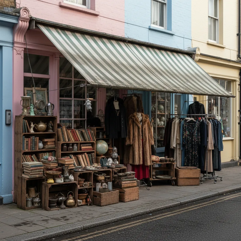 Notting Hill Vintage Thrift Shop Finder: Preloved Rails
 Soho Vintage Thrift Shop Finder: West End Designer Archives