 Clapham Bouldering Gym Finder: New in Town, Climb to Mingle
Sports Social
Covent Garden Cycling Trail Planner: Theatre District Lanes
Map smooth cycling routes across Covent Garden connecting Aldwych and Kingsway protected tracks while avoiding pedestrian-only lanes through the Piazza.
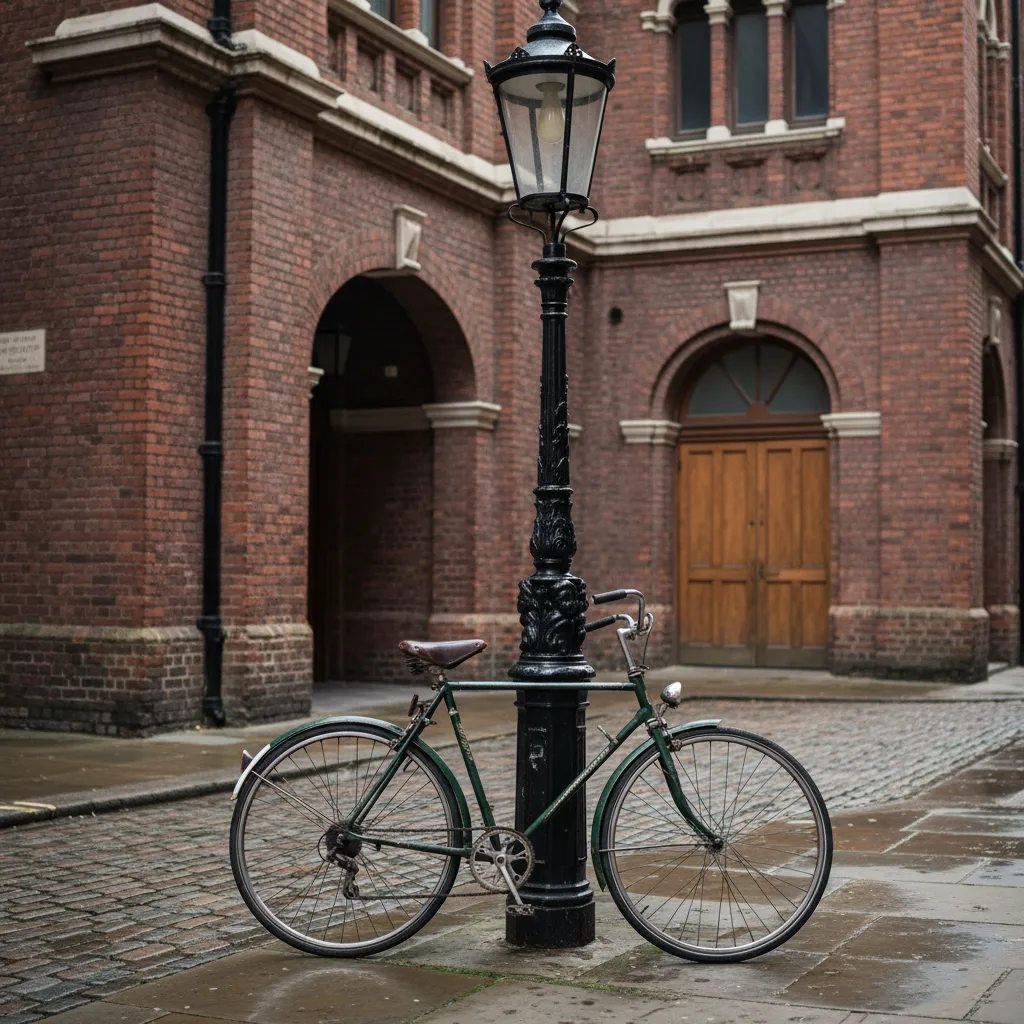
Riding a bicycle through Covent Garden requires bypassing the central pedestrianized Piazza, where Westminster bylaws strictly mandate that cyclists dismount and walk alongside their frames across the historic market cobbles. The surrounding street network, however, provides an effective bridge between the City of London and the West End if you route through outer arterial channels rather than getting trapped in narrow theatre lanes. A practical cycling trail planner near me search centered on Covent Garden steers riders along wide, tarmac-surfaced streets like Drury Lane, Bow Street, and Tavistock Street, which connect cleanly with the capital's segregated superhighways on Kingsway and Lancaster Place. By mapping journeys along the periphery of the theatre quarter, commuter cyclists and leisure riders can cross from Holborn down to the Thames without halting behind street performers, outdoor restaurant terraces, or theatre interval crowds.
The Northern Arc via Long Acre and Great Queen Street
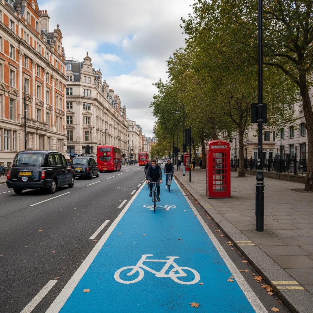
Traversing the northern border of Covent Garden is most efficiently achieved by following Great Queen Street westward from Kingsway toward Long Acre. This channel offers a direct line between the British Museum district and Leicester Square while sidestepping the dense foot traffic concentrated around the Covent Garden tube station exit. The asphalt is regularly maintained, offering lower rolling resistance than the historic granite blocks found further south.
When approaching the junction where Long Acre meets Drury Lane, cyclists must watch for black cabs pulling into hotel drop-off bays and stage-door loading zones. Keeping a confident primary road position ensures that vehicles emerging from subterranean service docks notice you well before pulling out. Once past Endell Street, filtering left toward Seven Dials opens connections into Soho and Bloomsbury without forcing riders onto high-speed multi-lane roundabouts.
The Aldwych and Strand Two-Way Protected Links
The major transformation of the Strand-Aldwych area completed in recent years created a vast car-free civic space that fundamentally altered central London cycling patterns. Cyclists traveling eastbound toward Fleet Street now take advantage of wide, clearly demarcated bi-directional cycle tracks that skirt the northern side of St Mary le Strand church, removing riders from the high-velocity bus lanes that previously characterized the Aldwych one-way system.
This modern protected link connects seamlessly with Lancaster Place, which serves as the primary southern access route over Waterloo Bridge toward the South Bank and National Theatre complex. Riding southbound onto the bridge ramp gives cyclists an elevated, separated cycle track with unimpeded views of Somerset House, offering one of the most scenic transit transitions in Greater London.
Docking Station Strategy Near Major Theatres
Cyclists using the Santander Cycles network to reach an evening performance at the Royal Opera House or the Lyceum Theatre must choose docking locations carefully. The docking station on Tavistock Street provides 24 bays and sits just two minutes on foot from the London Transport Museum, offering a sheltered drop-off spot away from heavy vehicle fumes. Because this station fills rapidly between 6:30 and 7:15 in the evening, having a nearby secondary docking location mapped is essential.
The larger docking installation along Wellington Street, situated near the junction with Russell Street, accommodates 32 bicycles and benefits from frequent redistribution vans operated by Transport for London. If both locations reach capacity upon arrival, riders can continue two blocks south to the extensive docking bank on Strand near Charing Cross station, where commercial turnarounds guarantee open docks even during peak curtain call rushes.
Connecting to Cycleway 6 and Cycleway 27
Direct access to London's spine superhighway, Cycleway 6 (C6), is located less than a half-mile east of Covent Garden. Cyclists head eastward along Chancery Lane or Carey Street behind the Royal Courts of Justice, emerging directly onto the segregated tracks of C6 at Farringdon Street. This link provides swift access northward toward King's Cross and St Pancras International, or southward over Blackfriars Bridge into Elephant and Castle.
For journeys aiming toward East London, traveling northeast through Lincoln's Inn Fields delivers riders onto quiet residential paths connecting toward Cycleway 27. Lincoln's Inn Fields is London's largest public square and features wide perimeter roads with minimal commercial vehicle access, making it a peaceful warm-up stretch before joining busier commuter arteries along Clerkenwell Road.
Utilising Karpo APP for Theatreland Route Planning
Because pedestrian densities in Covent Garden fluctuate sharply around theatre showtimes, using Karpo APP allows cyclists to tailor custom journeys that automatically steer around known evening bottleneck zones. The planning tool plots quiet corridor sequences that favor wider avenues like Bow Street over cramped, pedestrian-heavy passages like Floral Street or Neal Street. You can specify whether your journey prioritizes minimal stops, flat topography, or proximity to secure cycle parking.
Users should keep in mind the clear division of capabilities: Karpo APP provides strategic cycling journey curation, waypoint alignment, and surface guidance, but it does not process live rental transactions or deliver turn-by-turn auditory turn instructions. Cyclists still handle bike unlocking and station vacancy checks via the official Santander Cycles application or on-street card terminals, treating Karpo APP as the expert routing compass for cultural transit.
Cobblestone Management and Weather Precautions
Several historic arteries branching off the central marketplace, such as Floral Street, King Street, and Rose Street, retain heritage stone sett paving. During wet winter months or after sudden downpours, these polished granite blocks become extremely slippery, reducing tire adhesion by as much as half compared to fresh asphalt. Cyclists should drop tire pressure slightly to around 65 to 70 psi if riding through stone sections to increase the contact patch.
Braking across wet cobblestones should always be distributed progressively, applying the rear brake first to stabilize momentum before engaging the front lever. Avoid sudden steering inputs or rapid acceleration while crossing drainage channels between setts, and remain cautious around iron coal-hole covers set into older pavements, which lack all surface traction when damp.
Practical Notes
Locking a personal bicycle around Covent Garden requires robust hardware due to high demand for street furniture. Westminster City Council provides stainless steel Sheffield hoops along Bow Street outside the Royal Opera House and on Southampton Street. Cyclists should always thread an anti-angle-grinder D-lock through the front triangle of the frame and a fixed hoop, supplemented by a secondary cable securing quick-release wheels and saddles against opportunistic theft.
Remember that cyclists are permitted to share all red-route bus lanes on Kingsway and Strand, provided they yield adequate space when buses pull into designated passenger shelters. If riding after dusk, ensure your bicycle carries compliant front white and rear red lamps, and remain vigilant for pedestrians who occasionally step backward into the carriage lane to snap photographs of illuminated West End marquees.
Ask Karpo for more information.
Keep reading
- Clapham Bouldering Gym Finder: New in Town, Climb to Mingle
 Marylebone Bouldering Gym Finder: Lunch Break Climbs
 Notting Hill Bouldering Gym Finder: Family Climbing Weekends