 Woodland Hills Trampoline Park: Ropes, Bumper Cars, $17.95
Sports Social
LA Outdoor Guide: Waterfalls Locals Love This Season
The canyon routes are running strong, parking fills early, and the drive back eats your evening if you skip the logistics.
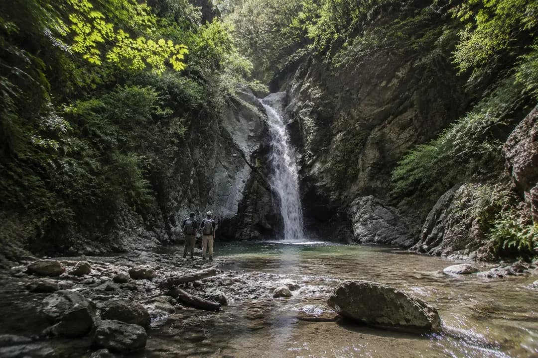
February through April is when LA's waterfalls stop being trickles and start being worth the drive. The San Gabriel canyons hold snowmelt longer than most people expect, and the Santa Monica range sees enough runoff to make Escondido and Solstice worth your Saturday. You're not chasing Yosemite drama, but you are getting cold water over rock and fern walls twenty minutes from Leimert Park if you leave before breakfast.
Karpo checks current trail status, tells you which waterfall lot still has space, and builds the drive time into your route so you're not scrambling in cell-dead zones halfway up a fire road.
What the winter rain actually delivered
The catch is that everyone else read the same rain report you did. Eaton Canyon lot is full by eight on weekends. Solstice Canyon gate closes when the count hits capacity. The waterfalls are real and they're running, but the infrastructure around them hasn't grown since the 1990s. You need a plan that accounts for arrival time, a backup trail, and the fact that cell service drops the moment you turn into the canyon mouth.
Locals who chase waterfalls all season know to go early or late, avoid the first parking area you find, and always have a second trail queued. The good news is that LA has more waterfall routes than the generic listicles admit. The mediocre news is that half of them share the same freeway exit, so if one is packed, the access road to the next one is probably slow too.
The front-range route versus the canyon commit
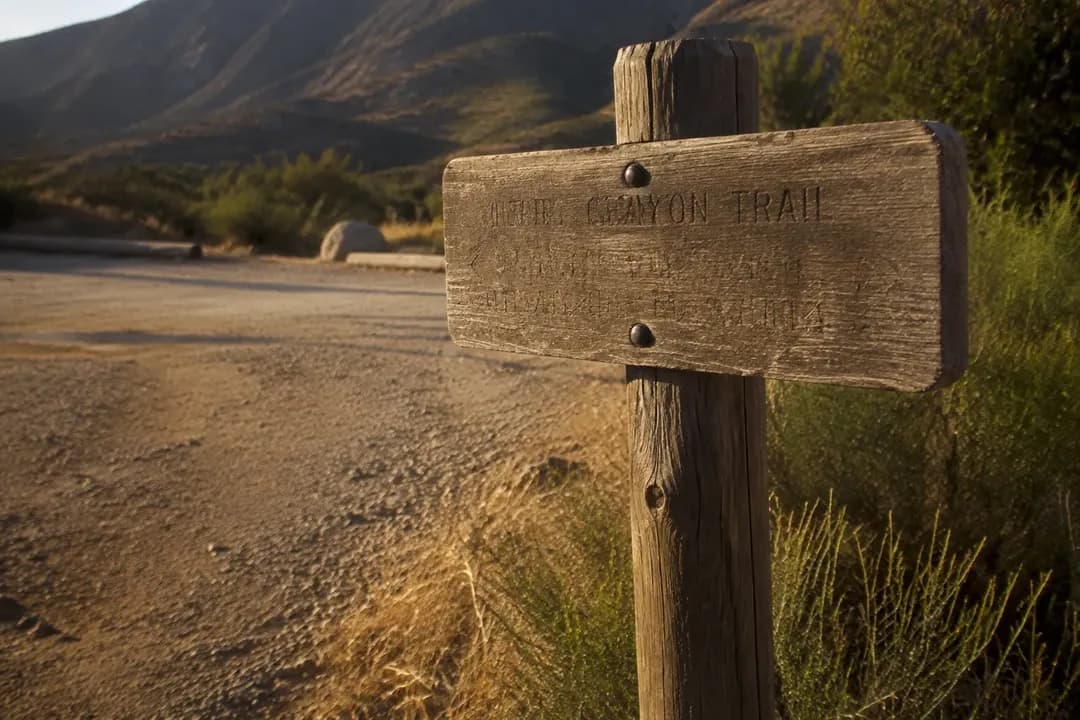
If you're starting from central or south LA, you have two geographic strategies. The front-range play gets you to Eaton Canyon, Switzer Falls, or Millard Canyon in the San Gabriels. These are the waterfalls that show up in every search result, and for good reason: Eaton is a 3.5-mile round trip on a wide trail, Switzer gives you a longer forest walk with multiple cascades, and Millard is the quieter cousin that still delivers water volume after a wet winter. All three require the 210 and a canyon road, and all three share the same weekend crowd psychology.
The alternate route is the Santa Monica Mountains west through Malibu. Escondido Falls is the tall one, a two-tier drop that requires a short scramble if you want the upper falls. Solstice Canyon offers a shorter hike to a smaller waterfall inside a shaded drainage that feels more private even when it's busy. The western route adds drive time but spreads out the parking pressure, and if you're willing to push to late afternoon, the light in the canyon is better for photos anyway.
The decision comes down to how much of your day you'll spend in the car versus on the trail. Eaton Canyon from Leimert Park is about fifty minutes without traffic, but it's a parking lottery on Saturday and Sunday mornings. Solstice Canyon is seventy-five minutes if the PCH is cooperative, but the lot is bigger and the trail is less of a freeway. Switzer Falls sits in the middle distance-wise but gives you the longer hike, which can thin the crowd farther in. If you're planning this around a late lunch or an evening back in the city, front-range is faster. If you want the afternoon and don't mind coastal highway variables, go west.
What the day actually costs
Most of the San Gabriel waterfall trailheads require an Adventure Pass, which is five dollars for the day or thirty for the year. Eaton Canyon Nature Center lot is free, but it's also a lot that fills fast, and the street parking outside gets ticketed if you're past the painted curbs. Switzer Falls uses the Angeles National Forest day-pass system, and rangers check. Millard Canyon has a small dirt lot with no formal fee, but space for maybe fifteen cars.
On the west side, Solstice Canyon is free and managed by the National Park Service. Escondido Falls has a small public lot on PCH that's also free, but it holds about twenty vehicles and overflows onto the highway shoulder, which is legal but tight. If you're driving something wide, factor that in. Both western trails have no permit requirement, but Escondido's upper falls section involves a chain-assisted climb over boulders, so it's not an accessibility-friendly finish.
Drive time is the bigger cost. Fifty minutes out and fifty back is two hours before you've walked a step. If you're doing this after a weekday morning or as a prelude to evening plans in the city, you need to budget four hours minimum for the round trip and trail time. Solstice and Escondido add another forty minutes of round-trip driving, and PCH traffic is unpredictable. The 210 moves except when it doesn't, and the canyon roads are two-lane and slow behind any RV or nervous driver. Plan for the long version and you won't be checking your phone halfway up the trail doing math on when you'll be back.
What to check before you commit
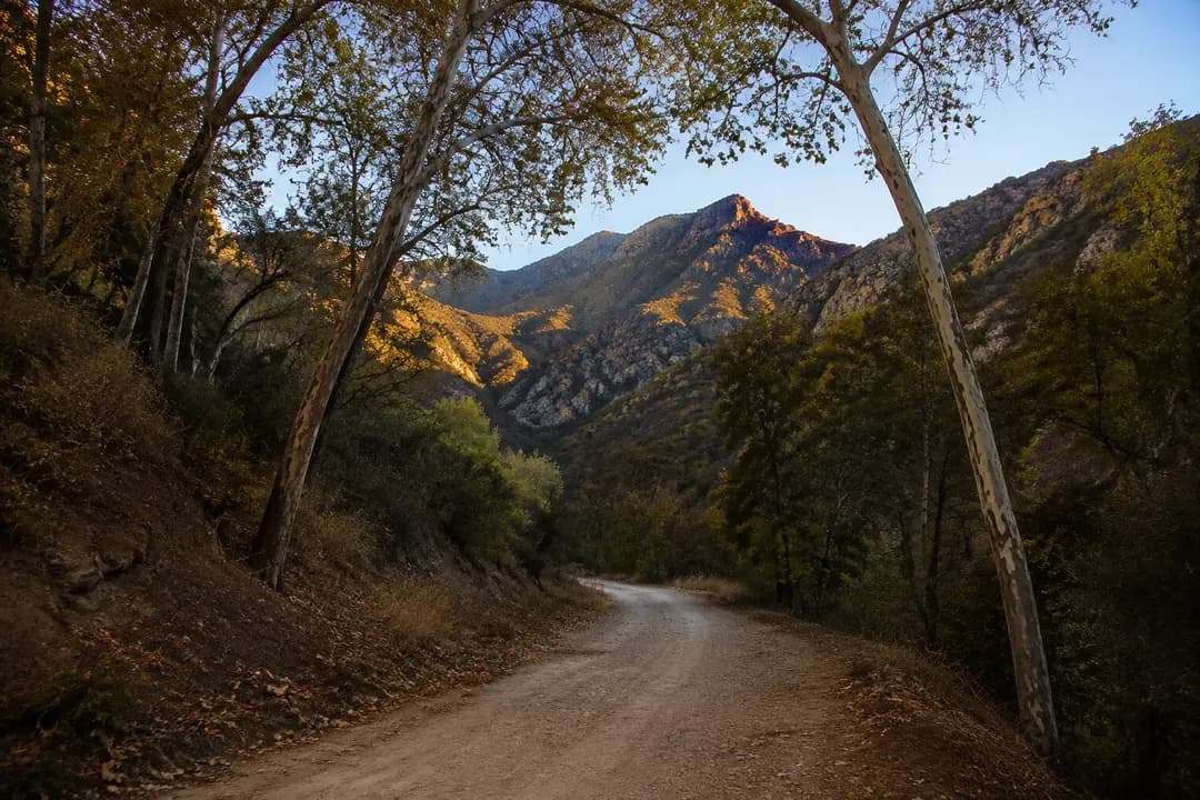
Trail conditions change faster than websites update. A rockslide or a washed-out creek crossing can close a waterfall route with two days' notice, and you won't know until you're at the trailhead reading a handwritten sign. The Forest Service and National Park Service both maintain current closure lists, but they're not always synchronized with Google Maps. Check the official page for your target trail the night before, and again the morning of if there was any overnight rain.
Water flow is seasonal and fast-moving. The waterfalls peak in late winter and early spring, then drop off hard by June. If you're going in May, look for recent trip reports or photos tagged with the trail name to see if it's still running or just a damp rock face. Some years the falls dry up by April. Some years they hold into July. The variable is snowmelt in the higher San Gabriels, which you can approximate by checking if Mount Baldy still has visible snow from the valley.
Bring more water than the mileage suggests. The trails are exposed in sections, and the canyon sun is hotter than the city forecast implies. A three-mile hike feels longer when it's eighty-five degrees and you're on decomposed granite with no shade. If you're bringing kids or anyone who doesn't hike regularly, double the estimated time. The waterfalls themselves are cold and not swimmable in any safe or legal way, so don't plan on cooling off in the water. You're there to look, maybe touch the mist, then hike back out.
Cell service is gone once you're a mile into most of these canyons. Download your trail map, screenshot the parking lot GPS pin, and tell someone your route and return time if you're going alone. It's not wilderness survival, but it's enough isolation that a turned ankle becomes a longer problem if you can't call out. The waterfalls are beautiful and absolutely worth the trip when the water is running, but they exist in a landscape that requires a little bit of old-school planning and a lot of respect for the fact that you're farther from help than it feels.
Practical notes
- Arrive at trailheads by 7:30 a.m. on weekends or after 3 p.m. to avoid parking overflow
- Adventure Pass required for most San Gabriel trails; check Forest Service site for current closure lists
- Cell service drops in canyons; download maps and share your route before you leave
- Bring two liters of water per person; trails are hotter and more exposed than they look on maps
- Upper falls sections at Escondido require scrambling; not accessible for all mobility levels
- If driving after a hike, stay hydrated and give yourself buffer time; fatigue adds risk on canyon roads
Tags: #karpo #losangeles #lawaterfalls #sangabrielmountains #eatoncanyon #switzerfalls #escondidofalls #solsticecanyon #hikinginla #waterfalls #lamountains #santamonicamountains #leimertpark #explorelosangeles #laoutdoors
Please drink responsibly. Must be of legal drinking age.
All trademarks are the property of their respective owners.
Ask Karpo first
Text Karpo the morning you're heading out to confirm which waterfall trails are open and whether the lots are already full. It'll also build current drive time into your route and suggest a backup trail if your first choice is slammed, so you're not guessing in a canyon with no signal.
Ask Karpo for more information.
Keep reading
- Woodland Hills Trampoline Park: Ropes, Bumper Cars, $17.95
 Sky Zone Pico Rivera Trampoline Park: GLOW Nights
 Sky Zone Van Nuys Trampoline Park: 120 Minutes for $41.99