 Los Feliz Nail Salon Walk In Finder for Broken Nail Repair
Neighborhood Guides

LA Historic Walking Route: Compare Santa Monica Then Now
A Santa Monica historic walking route compares documented building images with present street views, keeping coastal leisure separate from the history exercise.
A Santa Monica historic walking route can begin with one documented building image and end with a more accurate understanding of what a photograph leaves out. Choose an architectural subject from the Santa Monica Conservancy's downtown material, locate it on a map, and compare a source image with the public street view. Keep the historical exercise distinct from a beach outing. This Los Angeles County visit is about evidence, viewpoint, and change. It does not promise access to a hotel, theatre, residence, or any other interior shown in a photograph.
Pick the photograph before you pick the itinerary
Start with a source that identifies its subject. The Santa Monica Conservancy's downtown walking material introduces a range of buildings, including the Bay Cities Guaranty Building, Keller Block, and Georgian Hotel. Its list can help you select a subject with documented context. You do not have to visit every site it mentions. Choose one building that interests you and find an attributed image or account connected to it. A picture with an unknown date or location may be evocative, but it is a weak foundation for a precise then-and-now comparison.
Write down the information supplied with the image: building name, photographer if credited, date if given, and the organization holding or publishing it. Leave missing fields blank rather than estimating them from clothing, vehicles, or image color. A sepia tone does not establish a date. If the source does not support a historical comparison, use the picture only as a composition study or choose a better documented subject. The quality of this first decision matters more than adding a large number of stops to the walk.
Pay attention to what the source actually depicts. An exterior image may show only one side of a building. A publicity photograph may be composed to emphasize an entrance or omit an inconvenient neighbor. An architectural illustration may not be a photograph at all. Label those distinctions before you travel. You are not trying to expose a trick. You are learning to carry the source's limits along with its information, so a beautifully framed picture does not quietly become a complete account of the building and its surroundings.
Find an approximate viewpoint from public space
Once you arrive, identify the subject using the map and reliable building information. Look for broad relationships that can help orient the source image: the number of bays, the position of an entrance, or the relationship to an adjacent facade. An approximate viewpoint is sufficient. You do not need to recreate the photographer's exact location if doing so would put you in a road, driveway, private forecourt, or obstructed pedestrian area. The historical question is more important than a perfectly matched pair of pictures.
Hold a copy of the image at a comfortable distance and compare one feature at a time. Start with the building outline, move to openings, and then consider the street-level edge. Do not label every difference as a loss. The source may have been cropped, the camera may have used a different lens, or a foreground object may be hiding part of the present view. Write down the visible difference first, then list possible explanations. A comparison becomes useful when it produces a question that further evidence could answer.
If the subject is obscured, change the task rather than forcing the viewpoint. You can study the relationship between the building and its block, or compare the published image with a second attributed image at home. You can also leave the site for another visit. None of those choices makes the outing unsuccessful. A route designed around research should be able to record an unavailable view. Avoid entering a business simply to reach a better camera position unless that access is independently and explicitly part of your visit.
Separate change from the camera's choices
Perspective can make neighboring objects appear closer together or farther apart. A low camera angle can emphasize height, while a tight crop can remove almost all evidence of a building's setting. Before declaring that the street has changed, ask whether the source and your present viewpoint are showing the same spatial relationship. You can sketch a rough plan with the building, pavement, and camera position. The sketch does not need measured accuracy. Its purpose is to reveal when you are comparing different views rather than different historical conditions.
Then sort your notes into what appears unchanged, what appears different, and what cannot be judged. This third category is essential. An interior visible in a source image cannot be evaluated from an exterior visit. Materials may look similar in a photograph without being identical. A facade's color may be affected by the image process or lighting. Keeping an explicit uncertainty category prevents the exercise from producing more confident statements than the evidence can support. It also gives you a clear list for later archival research.
Choose one difference for follow-up rather than trying to solve them all in the street. A changed entrance arrangement might lead you to a preservation account. A missing neighboring structure might call for a dated map. A question about use might require a directory or documented building history. The next source should match the question. Collecting another attractive photograph of the same facade is unlikely to answer who occupied it, and a general tourism description may not explain a particular alteration.
Add a second building only if it sharpens the question
The Conservancy's downtown material covers different building types, so a second subject can help you compare how photographs represent commercial streets and visitor-facing architecture. Keep the second comparison focused on the same evidence problem. For example, study how each image frames the pavement or how each chooses an entrance as its center. This creates a coherent route without claiming that two buildings have the same history. If the second subject merely adds distance, leave it for another outing and use the remaining attention to improve your notes.
A coastal break can follow the historical exercise, but decide that transition explicitly. Santa Monica offers a different experience when your attention shifts from a source image to a wider outdoor setting. Treat the break as leisure rather than claiming every stretch of the onward walk contributes historical evidence. You can use Karpo APP to explore nearby ideas for the next part of the day. Keep directions, access decisions, and any separate bookings with the relevant map or operator, and preserve your historical notes outside a recommendation request.
Practical Notes
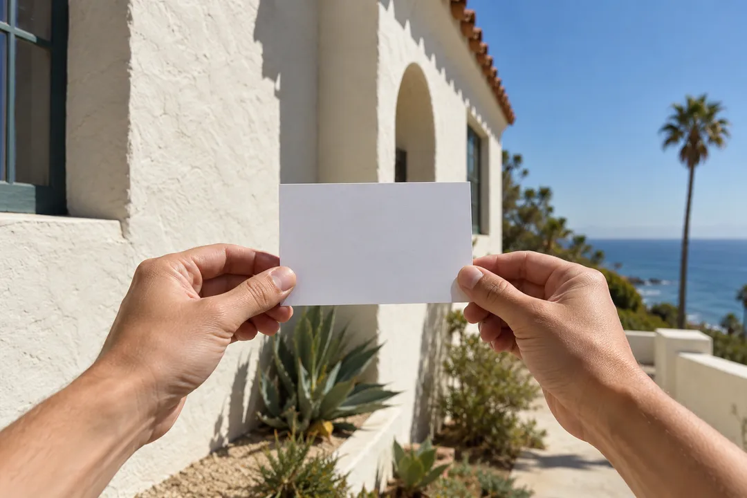
Bring a small printed image or a saved source copy, water, and something to write with. Stand still in an appropriate place before looking closely at a screen or paper. Wind and glare can make comparison awkward, so a simple sketch may be easier than holding a large print outdoors. Do not turn a private entrance into a desk. The generated photographs accompanying this article are contextual illustrations only. The blank card in the note-taking scene is deliberately not a historical photograph, and neither image proves a condition at a named building.
For background, use the Santa Monica Conservancy's downtown walking resources at smconservancy.org. Its organized tours are separate offerings with their own arrangements. Your independent result should be a paired description: what the source shows, what you observed, and what remains unresolved. Date the observation and retain the source link. A useful comparison may conclude that the available views are too different to support a particular claim. That is careful historical work, and it is a stronger ending than inventing a confident story just to make two pictures line up.
Ask Karpo for more information.
Keep reading
- Los Feliz Nail Salon Walk In Finder for Broken Nail Repair
 Highland Park Nail Salon Walk In Finder for Retro Manicures
 Koreatown Nail Salon Walk In Finder for K-Beauty Nail Looks