
Hurricane Genevieve is a Pacific storm, not a New York landfall threat, but it is still a useful prompt for a calm NYC safety check. As of July 28, 2026, the National Hurricane Center was issuing advisories on Genevieve in the Eastern Pacific, while its Atlantic outlook said there were no tropical cyclones in the Atlantic. That means the right move in New York is not panic-buying or changing plans because of a headline. It is checking official alert channels, knowing whether your address is in a hurricane evacuation zone, and confirming how you would handle power, transit, pets, medication, and communications if a real coastal storm later turned toward the city.
Want a calm safety read before weather headlines change your day? Text Karpo for NYC-ready checks on alerts, evacuation zones, transit backups, and what to verify before leaving home.

NYC Emergency Management: Start With the Official Storm Frame
NYC Emergency Management is the lead city agency for emergency preparedness and coordination, so its hurricane pages should be the first local reference, not a viral weather clip. Its guidance separates the everyday readiness steps from storm-specific orders: have a plan, gather supplies, and stay informed. For a distant event like Genevieve, that keeps the task manageable. You are checking whether your household is reachable, supplied, and alert-ready, not acting as if an evacuation has been ordered.
The tradeoff is that official pages may feel less dramatic than live storm maps, but they are designed for decisions residents actually need to make. If the city issues storm guidance, it will depend on forecast track, strength, storm surge, and neighborhood risk. Until then, the practical failure mode is confusion: using Pacific hurricane intensity as a substitute for NYC risk. Treat Genevieve as a reminder to tune the system before a local threat exists.
Know Your Zone: Check the Address, Not the Borough
NYC’s Know Your Zone tool and Hurricane Evacuation Zone Finder are address-based. That matters because evacuation zones are not the same as borough boundaries, flood insurance maps, or a general sense that an area is near water. The city uses six hurricane evacuation zones, with Zone 1 most likely to flood from storm surge. If a coastal storm approaches, the city may order evacuations by zone, starting where the risk is highest and adding zones as needed.
The easy check is to enter your full address, including borough and ZIP code, then save the result somewhere accessible offline. If you live in a basement or below-grade apartment, do not stop just because the address is outside a mapped evacuation zone; NYC Emergency Management warns that rainfall flooding can still create risk. The backup logic is simple: know your zone, know whether below-grade living changes your plan, and know where you would go before officials are asking everyone else to decide.

Notify NYC: Build Redundancy Into Alerts
Notify NYC is the city’s official emergency communications program, and it is free to subscribe to. Current city pages say alerts can cover emergencies, planned events, transit disruptions, traffic, health notices, beach notifications, ferry disruptions, and other city services. For a concerned resident watching a distant hurricane headline, this is the practical conversion point: stop refreshing social feeds and make sure the official alert pipeline can reach you by text, email, phone, app, or web.
There are limits, and they should shape your plan. NYC311 notes that delivery can depend on outside networks and providers, and text or phone messages may be delayed during outages or heavy traffic. Add more than one contact method if possible, and consider adding addresses that matter to your day, such as home, work, school, or a relative’s address. The accessibility upside is meaningful: city pages describe multilingual messages and American Sign Language video availability for many alerts.
Hurricane Evacuation Centers: Decide Where You Would Actually Go
NYC guidance says that if an evacuation is ordered and you cannot stay with friends, family, or a hotel outside the evacuation area, city evacuation centers may be used. The evacuation map includes center listings, directions, and accessibility notes, but it also warns that building status and wheelchair accessibility information can change. That makes evacuation-center planning a two-step task: identify likely options now, then recheck the map or call 311 before leaving during an actual order.
This is especially important for people traveling with children, pets, service animals, medical equipment, or mobility needs. NYC Emergency Management says city shelters are pet friendly and that service animals are allowed, but you still need supplies such as food, leashes, carriers, medication, and basic bedding. The failure mode is assuming a remembered school or public building will be open exactly as expected. Make the tentative plan now, then verify the live center listing if the city activates evacuations.
MTA and 511: Keep Transit Plans Conditional
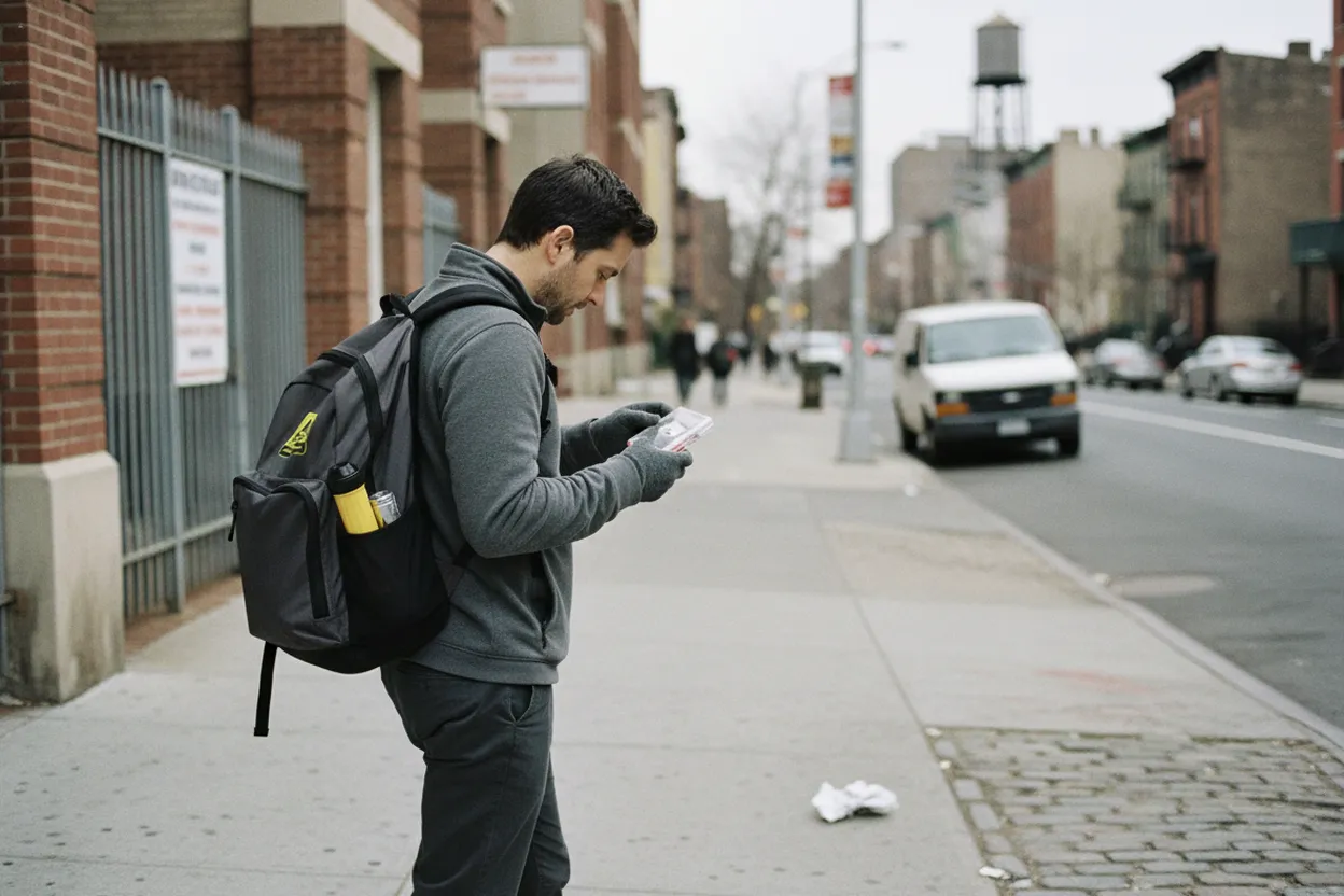
Transit should be treated as conditional during severe weather. NYC Emergency Management’s hurricane guidance directs residents to check MTA information or call 511 for current transit status when evacuation or storm travel is in play. MTA’s own app help describes a Status tab for subway, bus, elevator, escalator, and planned service information. That does not mean transit will fail; it means the plan should account for service changes, crowding, inaccessible elevators, and longer travel times.
For an easy daytime safety check, pick two routes from home to a safer destination outside your evacuation area: one transit route and one non-transit backup if transit is reduced. If you use elevators, paratransit, commuter rail, or a bus connection, verify the exact route closer to departure. Avoid a plan that depends on the last possible train, a single elevator, or a transfer you cannot comfortably make with bags, pets, or medication. Bad weather exposes weak connections quickly.
NHC and NWS New York: Separate Pacific News From Local Risk
The National Hurricane Center page opened July 28 listed Hurricane Genevieve as an Eastern Pacific system and also stated there were no tropical cyclones in the Atlantic at that time. That distinction is the core decision guide for New Yorkers. A powerful distant hurricane can be newsworthy without being a local emergency. For NYC impact, the sources to recheck are the NHC Atlantic outlook, the NWS New York office, Notify NYC, and NYC Emergency Management updates.
The risk of using only national headlines is that storm category becomes detached from geography. Category strength near Baja California does not tell a New Yorker whether to cancel plans, buy supplies, or avoid the subway. Local hazards in NYC would come from official forecasts for wind, rainfall, coastal flooding, storm surge, heat, poor air, or transit disruption. If those pages do not show a local alert, the right response is preparedness maintenance, not emergency action.
Your Final Day-Of Safety Check: Verify, Then Decide
Before changing plans because of hurricane Genevieve chatter, run a final five-minute verification loop. Check NHC for basin and storm status, NWS New York for local watches or warnings, Notify NYC for city alerts, the Hurricane Evacuation Zone Finder for your address if coastal-storm guidance is active, and MTA or 511 for transit. If any source is unavailable, use another official path rather than filling the gap with unverified posts.
The go-or-wait decision should match your actual constraints. Stay with normal plans if official local sources show no NYC hazard and your route is operating. Slow down or reschedule if you depend on accessible transit, below-grade space, medical power, a long waterfront trip, or a tight return window during deteriorating weather. Leave only under city evacuation guidance or a personal safety need that you can explain clearly. The last step is always verification, because storm facts and city operations can change faster than old screenshots.
Tags: #AskKarpo #BeforeYouGo #NYC #NYCWeather #HurricanePreparedness #NYCEM #KnowYourZone #NotifyNYC #EmergencyPlan #TransitCheck #MTA #SafetyCheck #FreeNYC #StormReady
Sources consulted: Source 1: nyc.gov · Source 2: nyc.gov · Source 3: a858-nycnotify.nyc.gov · Source 4: portal.311.nyc.gov · Source 5: nhc.noaa.gov · Source 6: intercom.help
All trademarks are the property of their respective owners.
Ask Karpo first
Tell Karpo your date, group size, budget, and starting neighborhood. We’ll check current access, timing, transit, and the cleanest plan for NYC Emergency Management before you head out.