 Waterfront Park Near Me: Candlestick Point State Recreation Area Shoreline
Free Things to Do
Golden Gate Views and Beyond: A Perfect San Francisco Summer Day
Start at Fort Point's stone walls, walk the shoreline west, and finish on a bench where the fog never quite touches you.
Most people drive to the Golden Gate Bridge Welcome Center parking lot, stand in the gift shop, and spend half the afternoon looking at postcards instead of the bridge itself. The lot fills on summer weekends, the shuttle loop is slow, and you end up walking the same crowded half-mile as everyone else who arrived the same way. By the time you reach the span's south tower, the fog may have rolled in and the view you came for is a gray wall.
Karpo watches the afternoon wind speeds and current Muni delays so you can time the walk without doubling back. Text it before you leave Noe Valley to see which route gets you home before the N-Judah slows down.
Why starting at the visitor center wastes two hours
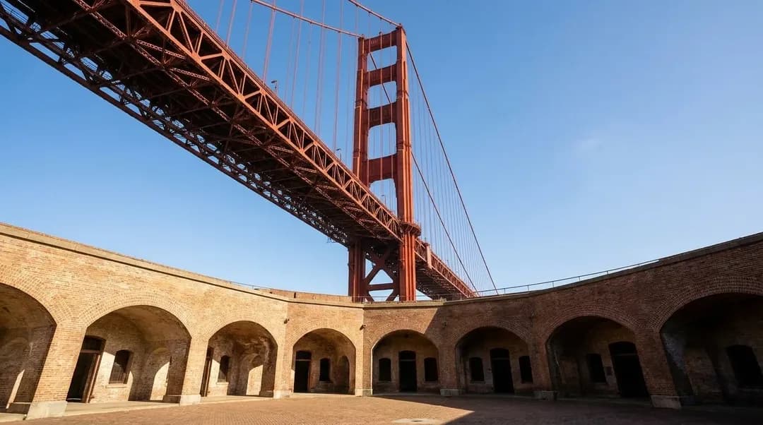
The better move is to start at Fort Point, the brick fortification directly under the bridge's south end. You can reach it on the 28 or 30 bus from the Richmond, or drive down Long Avenue and park near the Warming Hut; arrive early and check whether the small lot is open. Fort Point itself is free to enter when the National Park Service has staff on site—check the posted schedule at the gate, because hours vary by season and budget. Walk the fort's upper tier to see the bridge's underside, where the massive rust-red girders meet the rock cliff. The scale makes sense here in a way it doesn't from the pedestrian walkway above.
From Fort Point, walk west along the coastal trail toward Baker Beach. This path stays below the bridge deck, follows the shoreline, and avoids the tourist crush. You'll pass joggers, a few fishermen near the rocks, and almost no one stopping to take the same photo. The wind picks up as you round the point, and the pavement gives way to packed dirt. In summer, the fog usually hovers offshore until late afternoon, so morning and early afternoon give you the clearest light on the bridge's towers and cables.
A loop that doesn't depend on a single viewpoint
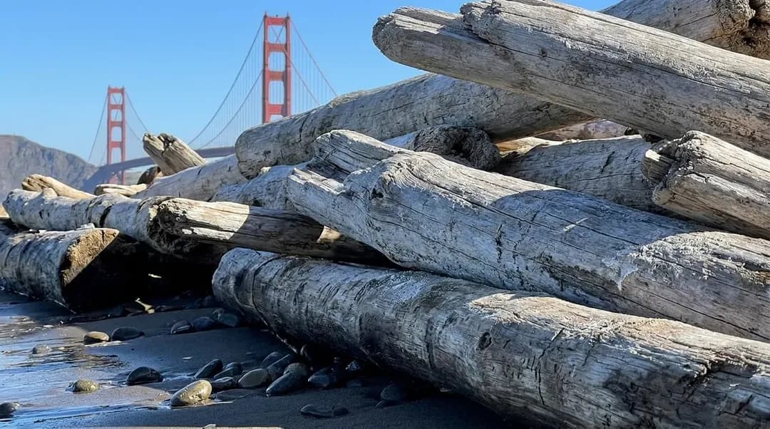
The coastal trail from Fort Point to Baker Beach is about a mile and a half, mostly flat, with a few short climbs over exposed rock. Wear layers—even if it's warm in Noe Valley, the beach wind is cold and doesn't stop. Baker Beach itself is a wide crescent of sand with driftwood logs at the high-tide line. The north end, closer to the bridge, is the quieter section; the south end gets more sun and more families. If you want to sit, the logs provide decent wind shelter, and you can see the bridge framed between two cypress groves on the cliffs above.
From Baker Beach, you have two choices. You can backtrack along the coastal trail to Fort Point and catch the 28 bus on Lincoln Boulevard, or you can climb the sand ladder at the beach's south end and walk up to the Presidio's main road network. The climb is steep but short, and it puts you on Bowley Street, which connects to Lincoln and then to the Presidio Transit Center. The PresidiGo shuttle is free; check the current timetable before relying on it for the return, especially later in the day.
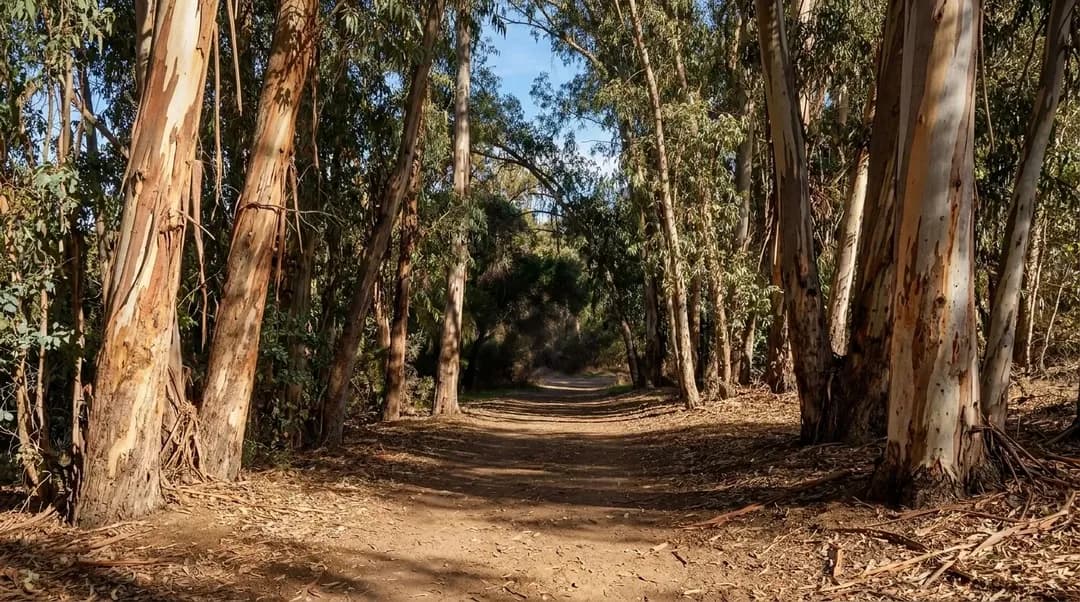
If you still have energy and daylight, walk from the transit center east through the Presidio toward the Lyon Street steps. The route crosses the park's interior, past old officer housing and the brick barracks that are now offices and studios. It's quiet, shaded by eucalyptus and pine, and almost no one is walking it unless there's a weekend event at the Main Post. The Lyon steps drop you into the Marina, where you can catch the 30 bus back to the Mission or walk down to Fort Mason for a bench facing the bay.
This plan assumes you're comfortable with wind and distance
This is not a plan for anyone who needs frequent bathroom access or café stops. The coastal trail has no facilities between Fort Point and Baker Beach, and the Warming Hut near Fort Point does not stay open all day; check its posted hours before you go. If you need water, bring it. If you need to sit indoors, this route offers almost none of that until you're back in the Presidio or the Marina.
The walk also requires decent shoes. The trail is mostly paved or hard-packed dirt, but there are loose gravel sections, tree roots, and uneven stone steps near the fort. Sandals will leave your feet sore. The hills aren't extreme, but if you're adding the Lyon steps or the climb out of Baker Beach, expect your calves to feel it the next day.
Finally, this is a summer plan, when morning fog often clears later in the day. In winter and early spring, the fog sits low all day, the wind is sharper, and the trail mud takes days to dry after rain. If the forecast shows wind speeds above 20 miles per hour, the beach portion becomes unpleasant—sand in your face, hard to hear anyone talking, and the bridge disappears into mist.
What to confirm before you go
Check Fort Point's current hours on the National Park Service website. The fort closes without warning if staffing is short, and the website is updated the morning of. If it's closed, you can still walk the exterior and access the coastal trail, but you lose the interior views and the shade.
Confirm the PresidiGo shuttle schedule for the day you're going. The route map stays the same, but weekend frequency drops, and holiday schedules are different. If the shuttle isn't running, you'll need to walk out to Lincoln Boulevard for the 28 bus, which adds 20 minutes and a hill climb.
Look at the live Muni map before you head home. The 28 and 30 lines both run through the Presidio and connect to downtown and the Mission, but late-afternoon delays are common, especially on weekends when Twin Peaks traffic backs up. If you're trying to catch dinner in Noe Valley, assume an extra 15 minutes on top of the scheduled time. The N-Judah is another option from the Marina if you're willing to transfer at Van Ness, but that station is underground and the transfer involves stairs.
Finally, verify the weather hour by hour, not just the daily high. The National Weather Service posts coastal wind forecasts that are more accurate than phone apps. If the morning starts clear and the wind is under 15 miles per hour, you're good. If the forecast shows fog lingering into the afternoon, push your start time back or pick a different day.
Practical notes
- Fort Point hours vary—check NPS website day-of; exterior trail always open
- Baker Beach has no facilities; Warming Hut near Fort Point closes by 5pm
- PresidiGo shuttle free but reduced evening/weekend frequency; confirm schedule
- Coastal trail is exposed to wind; bring layers even if city is warm
- 28 and 30 Muni lines connect Presidio to Mission; expect delays after 4pm weekends
- Lyon steps are steep; skip if you want flat route back to transit
Tags: #karpo #sanfrancisco #goldengate #goldengatebridge #fortpoint #bakerbeach #presidio #noevalley #freetodosf #sfhikes #coastaltrail #sfwalks #summersf #bayareaviews #sfoutdoors
All trademarks are the property of their respective owners.
Ask Karpo first
Text Karpo before you leave to see which Muni line is running on time and whether Fort Point is open today. It'll build you a route from Noe Valley that accounts for current shuttle schedules and give you a backup if the coastal wind is too strong when you arrive.
Ask Karpo for more information.
Keep reading
- Waterfront Park Near Me: Candlestick Point State Recreation Area Shoreline
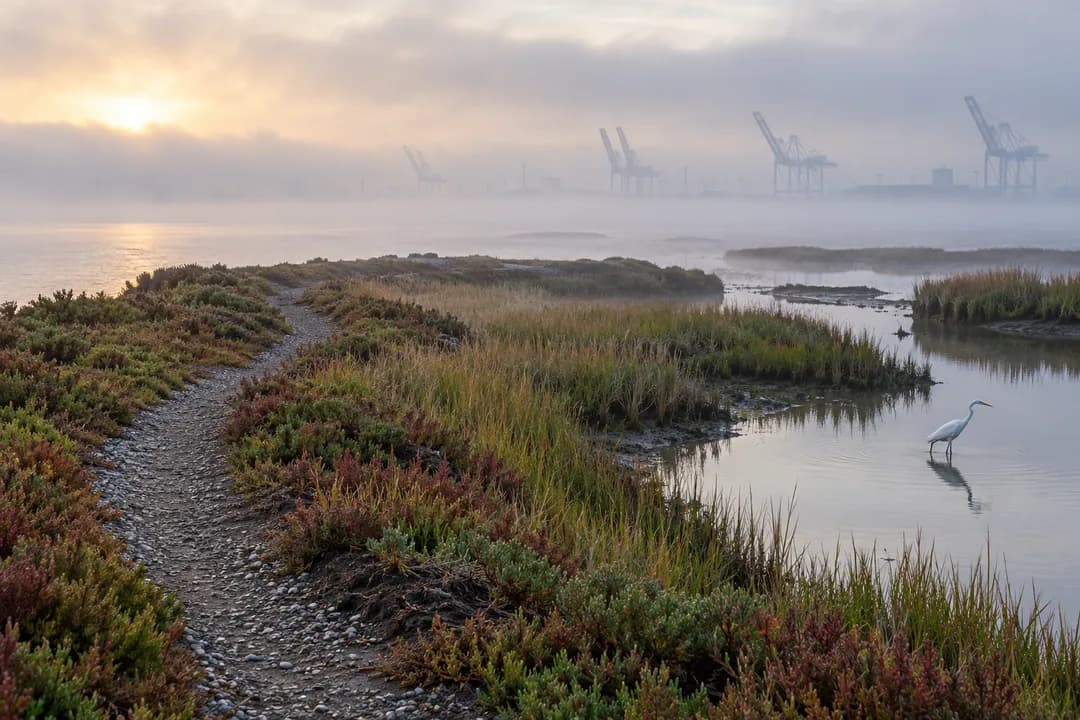 Waterfront Park Near Me: Heron's Head Park Marsh Trail in Bayview
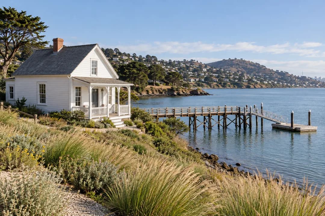 Waterfront Park Near Me: India Basin's Shipyard Shore in Bayview