Fort Totten Park is a strong free plan when Queens needs to feel farther away without renting a car. The source material describes a former U.S. Army installation on the northeastern edge of the borough, with granite walls, arched corridors, batteries, lawns, waterfront views, and landmark architecture. The useful version of the trip is practical, not exploratory in the risky sense: stay with public parkland, verify access before entering buildings or interior fort areas, and plan the bus trip both ways. Weather, event operations, security checks, seasonal facilities, and tour availability can change the outing quickly, so treat confirmation as part of the plan.
Want a free Queens history walk that works without a car? Text Karpo before you go for bus planning, access checks, and weather-aware harbor timing.
Start With Transit Reality
The angle is Fort Totten by bus, but the source file does not give a route number reliable enough to print as permanent advice. Make current MTA verification the first step, including weekend headways, service alerts, nearby stops, and how far the walk is from the bus to the park areas you want. This is especially important for a far-Queens destination, where a missed return connection can turn a simple free outing into a long wait.
Queens Today places Fort Totten Park around Cross Island Parkway between Totten Avenue and 15th Road. Use that as a location anchor, then confirm the active stop, pedestrian route, and return timing on the day you go. Build the walk around a daylight arrival, not a last-minute sunset sprint. If the bus schedule looks thin, shorten the route, choose the Castle and shoreline as priorities, and leave before the return plan becomes fragile.
Understand The Fort
Queens Today describes Fort Totten as a former United States Army installation built in the 19th century to defend New York Harbor and guard the narrow entrance where the East River opens toward Long Island Sound. It says construction began in 1862, giving the park a Civil War-era foundation beneath its public-space identity. The same source notes later military use through the Cold War, which helps explain why the site feels layered rather than like one preserved moment.
The source also reports that original plans were drawn by Robert E. Lee during his pre-Civil War engineering career. Treat that as a secondary-source historical detail, useful for casual context but worth verifying through NYC Parks, preservation records, or a formal historical source before citing in academic or interpretive work. For visitors, the practical takeaway is simpler: read signage where available, compare exterior features carefully, and avoid assuming every structure dates from the same military period.
Walk The Public Grounds
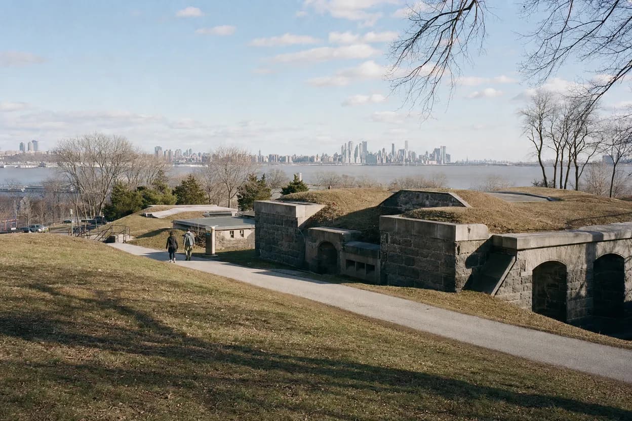
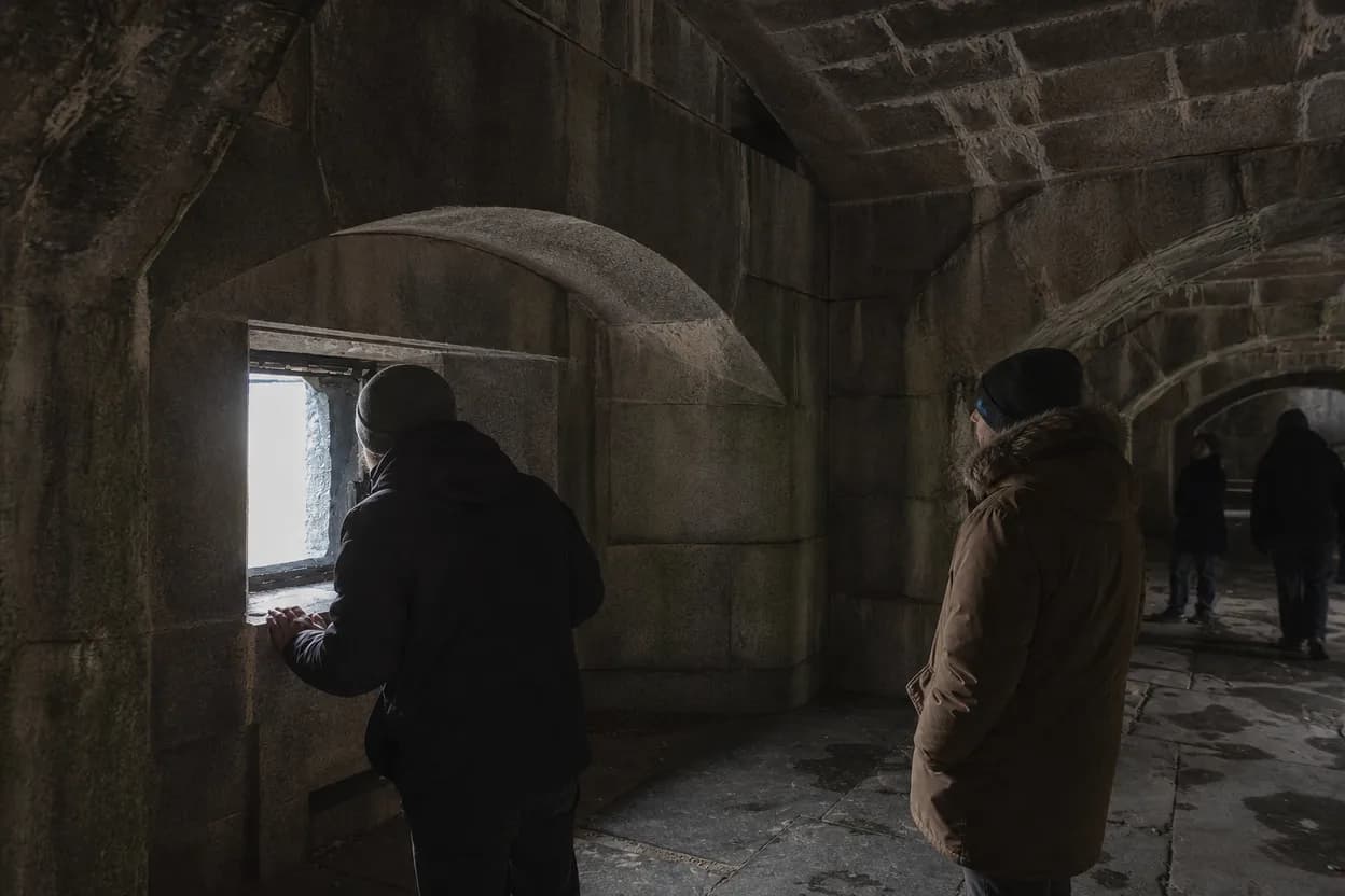
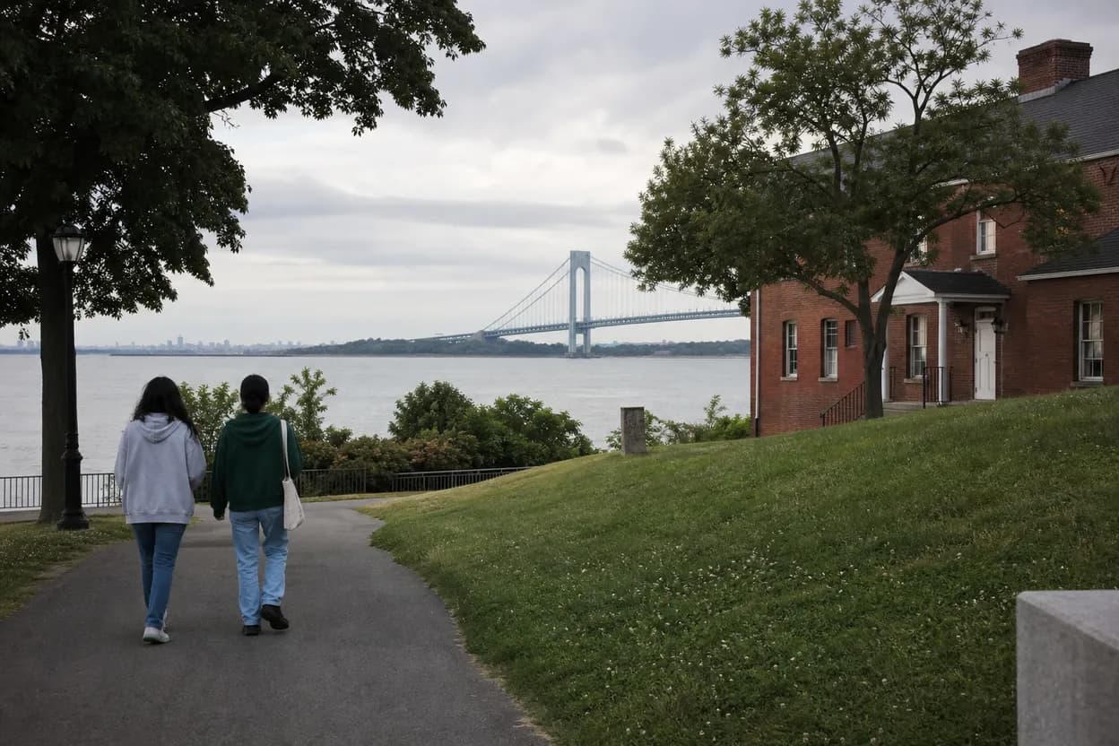
The park experience has several layers: a Civil War-era fort, granite casemates, World War I and II battery remnants, tree-lined paths, scenic lawns, picnic areas, and views toward Little Bay, Little Neck Bay, and Long Island Sound. That range lets the outing work even if no interior space is open. A good pacing plan is to start with the historic exterior, move toward the Castle area, then finish with a shoreline pause before returning to transit.
Some areas may be closed, dilapidated, restricted, or accessible only through guided tours, and the source specifically warns that parts of the fort are not freely accessible. Make open public grounds the default plan. Stay on marked paths, respect barriers, and avoid treating an abandoned-looking doorway as an invitation. The history is most enjoyable when the route stays legal, visible, and easy to explain, especially if visiting with children, older relatives, or guests unfamiliar with the park.
Use The Castle As Anchor
Queens Today identifies the Fort Totten Officers’ Club, often called the Castle, as a New York City landmark and home to the Bayside Historical Society. It describes the building as neo-Gothic and built in the 1870s. That gives the walk a recognizable architectural anchor beyond batteries and shoreline views. Use it as a midpoint for orientation, photos from appropriate public areas, and a decision point for whether to continue deeper into the grounds.
The Bayside Historical Society source lists its address as 208 Totten Avenue, Fort Totten, Bayside, NY 11359, and shows the organization hosting events and programs. Do not assume exhibitions, bathrooms, staff access, or indoor time are available during a casual visit. Before planning around the building, check the society’s current hours, calendar, admission rules, and closure notices directly. If it is closed, the exterior landmark still helps structure a worthwhile free walk.
Check Ranger And Visitor Access
Queens Today says Urban Park Rangers lead tours covering the natural environment and historic fortifications, and that a Fort Totten Visitors Center offers exhibits, background information, and maps. The extract does not provide current daily hours, tour dates, booking rules, or availability for July 15, 2026. Treat ranger access as a changing detail, because tours can depend on staffing, weather, restoration work, safety limits, and seasonal programming across NYC Parks.
Use ranger tours and the visitors center as bonus layers rather than the backbone of the outing. Check NYC Parks for tour listings, visitor center status, temporary closures, and restricted areas before leaving. If nothing lines up, the free plan still works as a daylight walk through open parkland, exterior architecture, lawns, and waterfront views. If a tour is available, arrive early enough to find the meeting point without rushing from the bus.
Plan For Comfort And Access
This is a better outing for patient walkers than for people who need dense attractions every few minutes. Expect distance, open lawns, shoreline exposure, and possible gaps between bathrooms, food, shade, and transit. Queens Today mentions limited food options nearby, so bring water and any needed snacks without assuming vendors will be present. On hot, rainy, windy, or icy days, reduce the route and prioritize firm paths, the Castle area, and the most accessible viewpoints.
Accessibility planning should be specific, because historic parkland can include slopes, uneven surfaces, older paths, restricted interiors, and changing construction conditions. Verify accessible parking, transit stops, bathrooms, pool or facility access, and event-specific accommodations through official sources before committing. If visiting with a stroller, mobility aid, or someone who tires easily, create a loop with a clear turnaround point. The failure mode is not boredom; it is pushing too far before confirming the way back.
What to verify for Fort Totten Park
Event days are a separate planning category. The Bayside Historical Society source describes a June 18, 2026 Independence Day Celebration with a free concert, Grucci fireworks, 5:00 PM admittance, performances from 6:00 to 9:00 PM, and fireworks at 9:15 PM. As of July 15, 2026, that event has already passed. Its bag checks, cooler inspections, limited parking, shuttles, non-alcohol policy, and weather text line should not be treated as standing park rules.
Final checklist: confirm MTA service both ways, check NYC Parks for closures and ranger tours, check Bayside Historical Society hours if the Castle matters, review weather near the waterfront, bring water, choose daylight timing, and keep the route on open public grounds. Also verify whether seasonal facilities such as the pool, paddling opportunities, sports areas, or visitor center are operating. If any key detail fails, use the park as a shorter exterior walk instead of forcing the full plan.
Tags: #FortTottenPark #BaysideQueens #QueensWalks #FreeNYC #NYCParks #BaysideHistoricalSociety #QueensHistory #HarborViews #LittleBay #LittleNeckBay #NYCByBus #HistoricQueens #AskKarpo #BeforeYouGo
Sources consulted: Source 1: queens.today · Source 2: baysidehistorical.org
All trademarks are the property of their respective owners.
Ask Karpo first
Tell Karpo your date, group size, budget, and starting neighborhood. We’ll check current access, timing, transit, and the cleanest plan for Fort Totten Park before you head out.