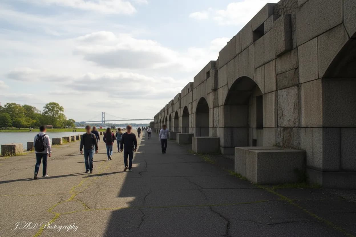
Fort Totten Park works best when you treat it as a waterfront loop, not a full museum day. The Bayside site has paths, open parade-ground space, bay views, and a Civil War-era battery setting, but it also shares the larger former military campus with active civic and emergency-service uses. That means the smartest plan is simple: arrive with one or two friends, walk the public edges, look at the historic structures from allowed areas, and leave enough time to catch the bus back before dinner. On a clear, breezy afternoon after a humid morning, this is a good Queens reset, provided you verify transit and access before committing.
Want the Fort Totten version with bus timing, weather, and boundary checks handled before you leave? Text Karpo for a Queens walk plan that fits your dinner window.
Start Fort Totten Park at Totten Avenue With the Bus Clock Open
The cleanest public-transit move is to plan around the Fort Totten end of the Q16, which MTA Bus Time lists at Totten Avenue and Cross Island Parkway for service toward Flushing via Utopia Parkway. Do not assume the next bus will appear just because the stop is near the park entrance. Open live arrivals before you start walking, then decide whether you have a relaxed loop, a shortened waterfront pass, or only a quick view stop.
The Q13 also serves the Fort Totten area in current MTA-facing listings, but the return decision should still be made from live data, not memory. This is the failure mode that turns a calm late-afternoon walk into a dinner-delay problem. If arrivals are thin, set a hard turnaround time before entering deeper into the park. If buses look bunched or delayed, use the loop as a short fresh-air stop and save the battery detour for another day.
Use Fort Totten Park as a Waterfront Loop, Not a Ruin Hunt
NYC’s 2005 opening record describes Fort Totten Park as nearly 50 acres of former Army fort land with waterfront paths, soccer fields, views of Long Island Sound, the Throgs Neck Bridge, and Fort Schuyler, plus a Civil War-era battery and historic buildings. That is enough context for a satisfying walk without forcing a scavenger-hunt route. Keep the plan loose: water first, historic texture second, and only linger where public paths clearly invite it.
The tradeoff is that Fort Totten can feel more fragmented than a classic promenade park. Some areas read like parkland, some like institutional campus, and some historic pieces may be better viewed from outside than approached closely. That is not a flaw if your group wants history without museum fatigue. It just means the day works best with curiosity and restraint, not a checklist of every old structure on the property.

Read the Battery Area From the Public Path Before Getting Closer
The battery is the emotional center of this walk, but the right move is to read it from the public side first. City records tie the park’s identity to a Civil War-era fort and describe later work to stabilize and restore the battery with railings, drainage, lighting, and stone. Treat that as a cue to respect barriers, signs, and closed sections. A good visit does not require climbing, squeezing through gates, or testing locked doors.
This is especially important with friends because group momentum can make one bad idea feel casual. Keep the rule plain: if a path, stair, tunnel, doorway, or platform is not clearly open, skip it. The payoff is still there in the setting, the stonework, and the shoreline position at the mouth of Long Island Sound. The safer story is noticing how the place was built for defense while using only today’s public park routes.
Add Bayside Historical Society Only if The Castle Is Actually Open
Bayside Historical Society is based at The Castle at 208 Totten Avenue inside Fort Totten, and its own site describes exhibits, events, education programs, archives, community activities, and private rentals. That makes it the obvious indoor history add-on, but not an automatic part of a late-afternoon loop. The society’s event pages can list specific talks or tour windows, so verify the day’s opening status before promising anyone an indoor stop.
One current BHS event listing for Second Sunday Castle Tours says guided tours are offered on the second Sunday of each month from 1:00 to 3:00 p.m., with two approximately 45-minute tours and free admission requiring reservations. That is useful planning intelligence, not a standing guarantee for every visit. If you are going on a normal weekday afternoon, assume the outdoor loop is the plan unless the society’s current page confirms access.
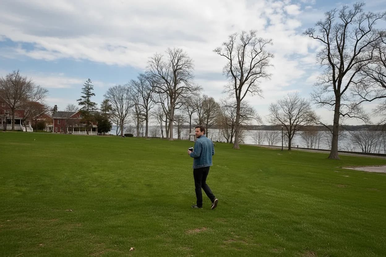
Let the Bayside Wind Decide Your Fort Totten Pace
The locked weather setup for this plan is a clear, breezy afternoon after a humid morning, which is close to the ideal use case. The waterfront paths give the outing a cooler, more open feel than inland errands, but wind off the bay can also make exposed stretches less comfortable. Bring a layer if dinner clothes are light, and expect hair, hats, and loose napkins to behave like this is still a shoreline.
Weather is also the backup logic. If the breeze feels good, stretch the loop toward the water and give everyone time to stand still for the bridge view. If wind, heat, or glare starts wearing people down, shorten the route and use The Castle exterior or parade-ground edges as calmer visual anchors. After rain, avoid improvised dirt shortcuts and stick to paved or obviously maintained paths, especially near slopes and old masonry.
Match Fort Totten Park to Friends Who Want Air, Not a Hike
This is a moderate plan because logistics matter more than mileage. The park is not a mountain walk, but bus timing, uneven transitions, waterfront exposure, and restricted historic areas all raise the planning level. It fits one or two Queens friends who want to talk while moving, take in water, and feel some local history without committing to a ticketed museum block. It is less ideal for anyone expecting restaurants, shops, or constant programming inside the park.
Accessibility should be judged conservatively. Public waterfront and park paths may work for many visitors, and nearby institutions advertise accessible programming in some event contexts, but old fort landscapes can include grades, older surfaces, and confusing edges. If someone in your group uses a mobility aid, verify the exact destination, open entrances, bathroom expectations, and whether the intended stop is outdoors only. The best accessible version may be a shorter route focused on smooth paths and confirmed facilities.
Finish Fort Totten With a Return Check Before Dinner Plans Harden
Do the final transit check before the group emotionally commits to one more viewpoint. Open MTA Bus Time at the Fort Totten stop, compare Q16 arrivals toward Flushing, and look for Q13 options if that route fits your next move. If the bus gap is manageable, take the extra five minutes by the water. If it is widening, start walking out immediately. The park is pleasant; a preventable late dinner is not.
The final verification step is simple and should happen the same day: confirm NYC Parks alerts for Fort Totten Park, check Bayside Historical Society only if you want indoor access, refresh live MTA arrivals, and glance at weather radar before leaving. If any one of those fails, the backup is still useful. Make it a shorter waterfront walk, skip closed historic areas, and let the bus decide when the loop is done.
Tags: #FortTottenPark #BaysideQueens #QueensWalks #NYCParks #WaterfrontWalk #HistoricQueens #Q16Bus #Q13Bus #BaysideHistoricalSociety #LittleBay #ThrogsNeckBridge #AskKarpo #BeforeYouGo #NYCNeighborhoodGuide
Sources consulted: Source 1: nyc.gov · Source 2: baysidehistorical.org · Source 3: baysidehistorical.org · Source 4: bt.mta.info
All trademarks are the property of their respective owners.
Ask Karpo first
Tell Karpo your date, group size, budget, and starting neighborhood. We’ll check current access, timing, transit, and the cleanest plan for Fort Totten Park, Bayside, Queens before you head out.