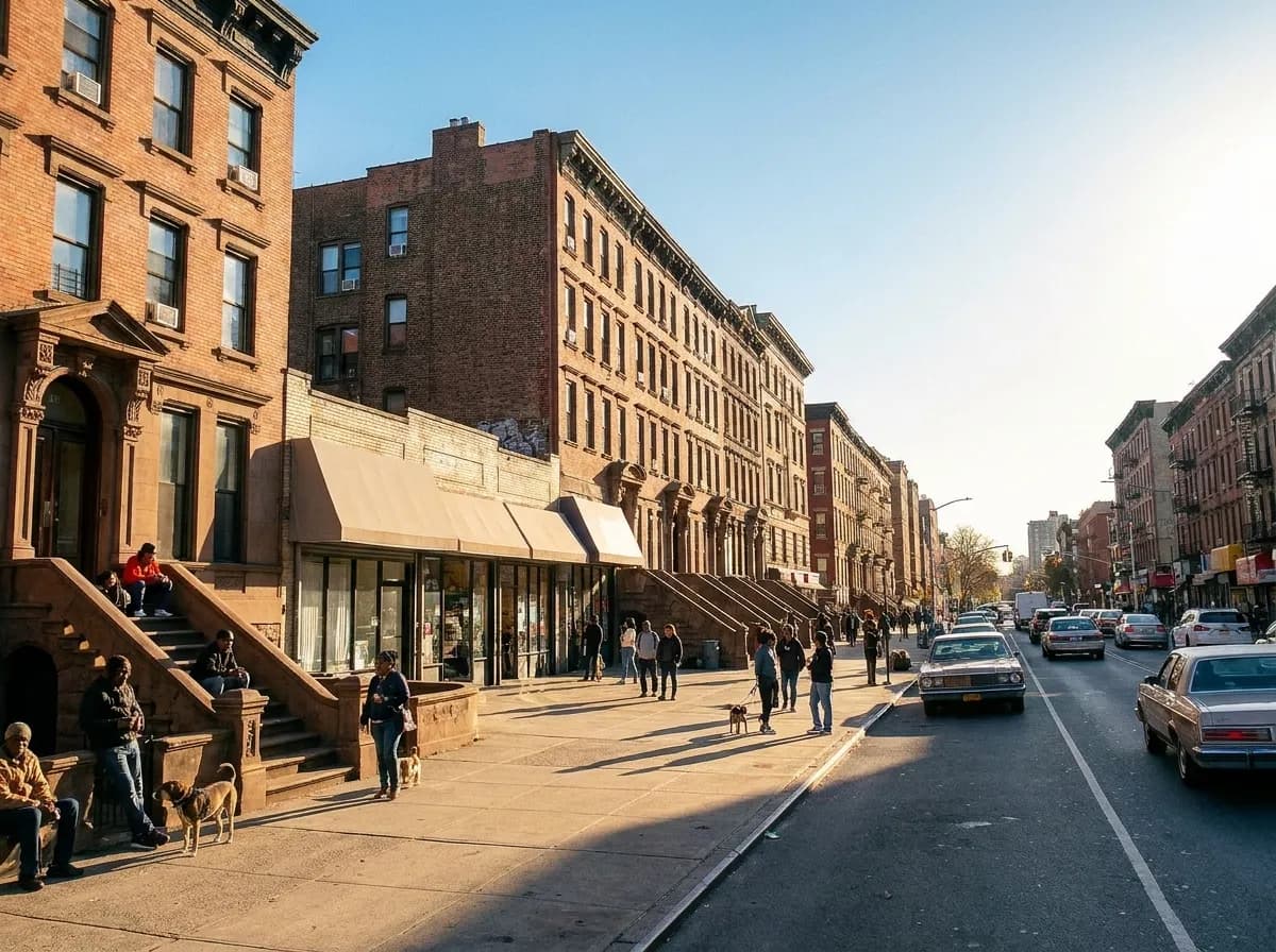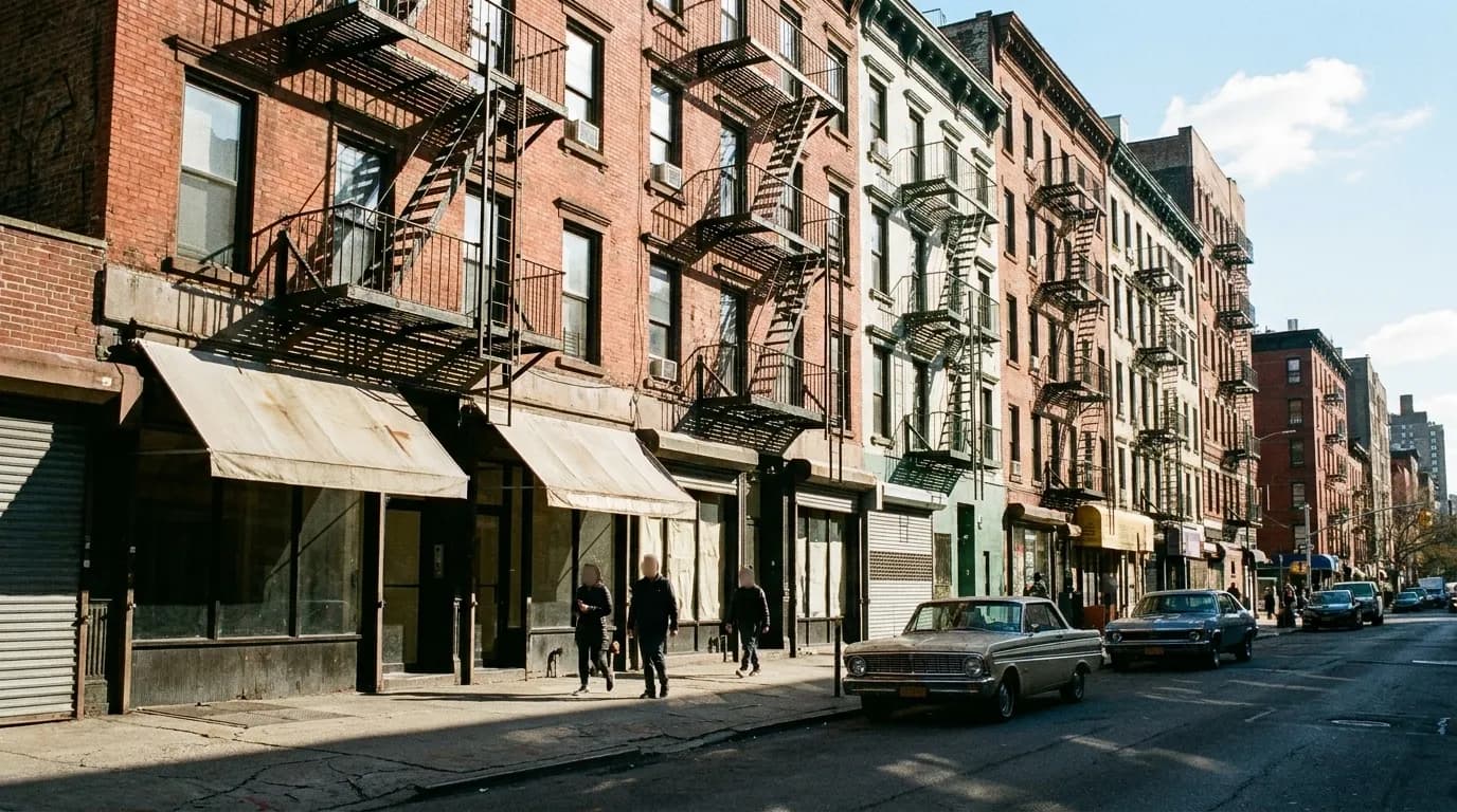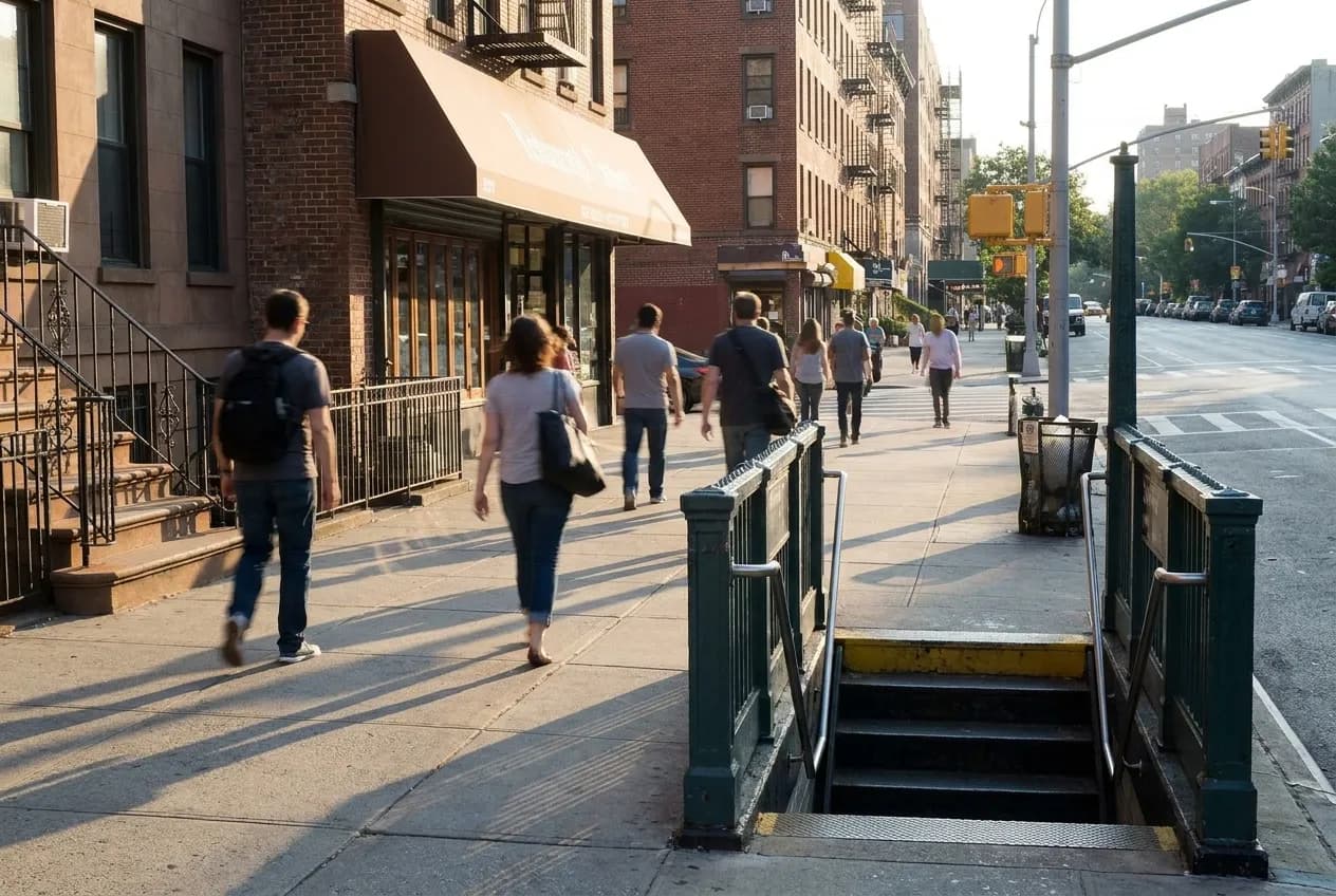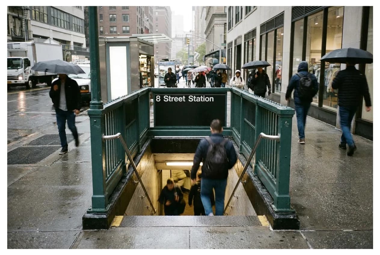
A phone that answers food near me with whatever is physically closest will send you to the worst option on the block. The storefronts within two hundred feet of a subway entrance are priced for people who cannot be bothered to walk, and the food reflects that margin structure. A mediocre lunch spot survives for decades on pure proximity because enough tourists and time-crushed commuters will choose the visible option over the better one that requires an extra two minutes. The real radius in New York is not a circle. It is the corridor between the station you are standing at and the next one down the line.
Karpo reads your location and the subway map together, then shows you what is open right now in the corridor you can actually walk. No guessing which direction improves the odds.
Eight to twelve minutes of walking changes the price band completely. You leave the zone where rent is underwritten by foot traffic that has no choice, and you enter blocks where a restaurant has to be good enough that someone picks it on purpose. The quality threshold jumps. The menu stops assuming you are in a hurry. This is not about walking farther into a food desert—it is about recognizing that subway spacing in New York creates natural corridors of improving value as you move away from the turnstile. The question is not whether to walk, but which direction rewards it.
Midtown and the One-Stop South Rule
Midtown between Fifth and Eighth avenues is the densest example of the proximity trap. The blocks immediately surrounding Penn Station, Herald Square, Times Square and Rockefeller Center are almost uniformly bad. The rents are too high and the captive audience too reliable for quality to matter. A sandwich costs fourteen dollars because the alternative is walking, and the calculation assumes you will not bother.
The fix is almost always one stop south. If you are at Thirty-Fourth Street, walk to Twenty-Eighth. If you are at Forty-Second, walk to Thirty-Fourth but not the Penn Station end—the Herald Square end, then continue south. The corridor between Twenty-Third and Thirtieth on Sixth Avenue and Seventh Avenue is where Midtown office workers who care about lunch have been going for thirty years. You are now in the zone where a place has to justify itself beyond location. The Korean and Japanese spots between Twenty-Eighth and Thirty-Second on Fifth have actual menus. The side streets between Sixth and Seventh in the high Twenties have Italian red-sauce places that have survived since the Eighties because the food is correct and the price is thirty percent lower than the equivalent four blocks north.
One stop south also works from Fifty-Seventh Street down into the low Fifties, where the tourist density drops and the Thai and Vietnamese places that serve the hotel staff start to appear. The principle holds: subway exits concentrate the worst options, and the best strategy is to walk toward the next station but stop halfway, where you are far enough from one exit that proximity is no longer a business model but close enough to the next that you have not entered a commuter dead zone.
Downtown and the Horizontal Corridor
Below Fourteenth Street the logic shifts because the subway lines run more parallel and the avenues are shorter. The corridor is not north-south but east-west. If you are at Union Square, the blocks directly around the station are fine but not great—the density is high enough that mediocre places still fill seats. Walk east toward Third Avenue or west toward Sixth, and the quality curve tightens. The same pattern repeats at Astor Place: the blocks right at the station are acceptable fallback options, but the stretch along East Fourth between Second Avenue and Avenue A is where people who live in the neighborhood actually go.
In the West Village and the East Village, proximity to a station matters less because the subway spacing is wider and the food culture is older. You are already in a district where restaurants have to be good to survive, so the usual rules about walking away from the exit do not apply as strictly. But even here, the principle of corridors holds: if you are at West Fourth, walking toward Christopher or Houston improves your options more than walking toward Washington Square, because you are moving toward residential density instead of toward the park and the university, where the food is engineered for students in a hurry.
The Financial District is the exception that proves the rule. There is almost no reason to stay within two blocks of any station south of Chambers. The entire district is a proximity trap five days a week, and the food near me results will send you to grab-and-go chains that exist only because of the office tower lunch rush. Walk toward Stone Street or up toward Tribeca, where the rent is still high but the customer base includes people who live there and have opinions.
Brooklyn and the L Train Ladder
The L train from Bedford to Montrose is the clearest single example of corridor logic in the city. Each stop has a two-block radius of obvious options that are fine, and then a six-block corridor to the next station where the quality rises and the prices drop. If you are at Bedford, walking toward Lorimer puts you in the stretch of Manhattan Avenue and Nassau where the Polish and Dominican spots that predate the neighborhood's renovation are still operating. If you are at Lorimer, walking toward Graham takes you through the section of Grand where the Thai and Mexican places have been good for a decade because they are far enough from the subway that they have to be.
The same ladder works in reverse from Montrose back toward Graham, where the avenues between the stations have Vietnamese and Chinese places that serve the residential blocks and do not bother with the brunch-and-drinks crowds closer to Bedford. The principle is that subway stops on the L are spaced just far enough apart that the middle stretch of the corridor is always better than the two hundred feet around the exit.
On the G train, the spacing is wider and the corridors longer, which means the drop-off in quality around each station is steeper. If you are at Greenpoint Avenue or Nassau, you need to walk at least four blocks toward the next stop before the options improve. The G serves residential Brooklyn, and the food is calibrated for people who live there, which is good—but it also means the stations themselves are surrounded by very little, and the corridor strategy requires more commitment.
When Proximity Is the Right Call
There are situations where the closest option is the correct one. If you are in a residential neighborhood in Queens or Brooklyn after nine at night, the thing that is open within two blocks is probably your only choice, and it is likely to be decent because it serves people who live there and has no reason to optimize for foot traffic. The corner spot in Astoria or Sunset Park that has been there for fifteen years is close because you are already in the right place, not because it is exploiting your unwillingness to walk.
In Manhattan below Fifty-Seventh Street, proximity is the right call only when you are already in a residential or mixed-use district: the West Village, the East Village, the Lower East Side, Gramercy, Chelsea away from the avenues. These are places where the food near me results will surface neighborhood spots that have survived because they are good, not because they are close to a turnstile. The test is whether the block you are on has apartment buildings or hotels. If it has apartment buildings, the closest option is probably fine. If it has hotels, walk toward the next station.
The other time proximity works is when you are in an outer borough near a commercial strip that predates the current food economy—Fordham Road in the Bronx, Eighty-Sixth Street in Bay Ridge, Roosevelt Avenue in Jackson Heights. These strips were built for local foot traffic, not for people passing through, and the food reflects that. You are not in a proximity trap because the rent structure is different and the customer base is stable. The closest option is often the best option because the corridor logic does not apply when you are already in the middle of the corridor.
The way to read the street in ten seconds is to look at the ratio of chain signage to independent signage, and to check whether the people on the sidewalk are carrying shopping bags or wearing lanyards. If you see more chains than independents and more lanyards than shopping bags, walk toward the next station. If you see independents and residential foot traffic, you are already in the right place. The food near me answer is correct when the block is designed for people who live or work there long-term. It is wrong when the block is designed for people who are just passing through and have no reason to come back.
Tags: #FoodNearMe #NYCFood #NewYorkEats #SubwayDining #NeighborhoodGuides #ManhattanFood #BrooklynEats #MidtownLunch #EastVillageFood #WilliamsburgEats #NYCSubway #CheapEatsNYC #LocalNYC #WhereToEatNYC #NYCNeighborhoods
Please drink responsibly. Must be of legal drinking age.
All trademarks are the property of their respective owners.
Ask Karpo first
Karpo tells you which direction to walk from your current station and what is open in the corridor right now. You get the live route and the hours, not a list of pins you have to evaluate yourself. Open the Karpo app before you commit to the closest option.