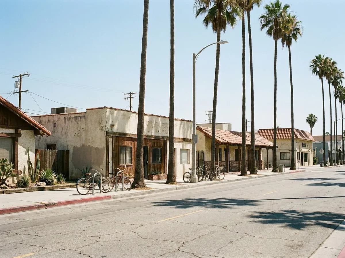
Los Angeles food geography makes sense only when you stop thinking in neighborhoods and start thinking in boulevards. A single east-west artery can run fifteen miles and pass through six different cuisines, three price bands, and a dozen micro-scenes. Because you are already in the car, following one road end to end costs you less time than hopping between districts on a map. The transitions happen at old commercial nodes where zoning allowed mixed use decades ago, and the most interesting cooking clusters within two blocks of those intersections.
Open the Karpo app right now to see what's open on the boulevard closest to you, whether the taco stand still has al pastor on the spit, and which direction to drive for your second stop.
The pattern repeats across the basin. Pico Boulevard runs from the ocean to downtown and gives you Salvadoran pupusas near Union, Korean soft tofu west of Western, and coastal fish tacos in Santa Monica. Sunset Boulevard starts in Echo Park with Mexican seafood, moves through Thai Town, then hits the Sunset Strip before landing in Pacific Palisades for weekend brunch. Vermont Avenue alone covers Thai, Armenian, and Mexican in a four-mile stretch. The boulevards are your search grid.
This is not about driving aimlessly. It is about understanding that LA's commercial corridors were built for exactly this kind of sequential browsing, and that the food worth finding concentrates where old streetcar lines intersected with immigrant settlement patterns fifty to seventy years ago. You pick a boulevard based on direction of travel, time of day, and which end you are starting from. Then you work it like a buffet line.
How to Pick Your Corridor
Start with your actual direction of travel. If you are moving east-west, your candidates are Pico, Olympic, Venice, Washington, Sunset, Santa Monica Boulevard, and Wilshire. If you are moving north-south, look at Vermont, Western, Normandie, Crenshaw, La Brea, Fairfax, or Sepulveda. The rule is to never fight the grid. A boulevard that runs perpendicular to your route costs you forty minutes in added travel time and puts you in conflict with rush hour no matter when you leave.
Next filter by time of day. Some boulevards wake up late. Sunset through Echo Park and Silver Lake does not hit stride until 11 a.m. on weekdays because the breakfast trade is light and the lunch spots do not prep until mid-morning. Pico Boulevard between downtown and Koreatown, on the other hand, has working breakfast counters starting at 7 a.m. and stays live until 2 a.m. because it serves shift workers from garment factories and hospitals. If you are looking before 9 a.m. or after 10 p.m., your corridor options narrow by half.
Price is the third filter. Wilshire Boulevard skews higher west of La Brea and drops sharply east of Vermont. Sunset Boulevard through West Hollywood runs fifteen to twenty dollars per person higher than Sunset through Echo Park for comparable meals. The boulevards that stay affordable end to end are the ones that never gentrified past their original commercial zoning: Pico, Olympic, Washington, and most of Vermont. If you are planning three stops and want to keep the total under forty dollars, stay on those four.
Where the Transitions Sit
The cuisine transitions cluster at major intersections, and the intersections that matter are the ones where north-south boulevards cross your east-west route. On Pico, the pivot points are La Brea, Crenshaw, Western, Vermont, and Alvarado. Each intersection marks a shift in demographics, building age, and the decade of peak immigration that shaped the restaurant base. You can see the change in awning language, parking lot size, and whether the buildings have setbacks or sit flush with the sidewalk.
West of La Brea on Pico, you are in kosher delis, Israeli grill houses, and upscale lunch spots serving the mid-city office corridor. Between La Brea and Crenshaw, the cooking goes Caribbean and soul food, with Belizean and Jamaican bakeries in the side streets. Crenshaw to Western is the pivot into Central American, where the pupusa spots and Guatemalan bakeries start. Western to Vermont is Koreatown, dense and deep, with soft tofu specialists and late-night Korean-Chinese joints. East of Vermont, Pico turns Mexican and Salvadoran until it hits downtown.
The same structure repeats on other corridors. Sunset Boulevard transitions from Mexican seafood in Echo Park to Thai by Hollywood Boulevard, then pivots again into hotel dining and celebrity chef projects by the time you reach the Strip. Vermont Avenue goes from Thai near Hollywood to Armenian near Los Feliz, then south into Koreatown and finally Mexican near USC. The boulevards are not random. They follow settlement waves that date to the 1960s, 1970s, and 1980s, and the food clusters still mirror those patterns.
The two-block radius around each major intersection is where the density peaks. That is where you find three taco trucks on one corner, a pupuseria next to a Salvadoran bakery, or five Korean tofu houses within walking distance. The intersections are also where parking is hardest and where you will circle twice before finding a spot. Plan to walk two blocks from your car. The best cooking is never in the lot directly in front.
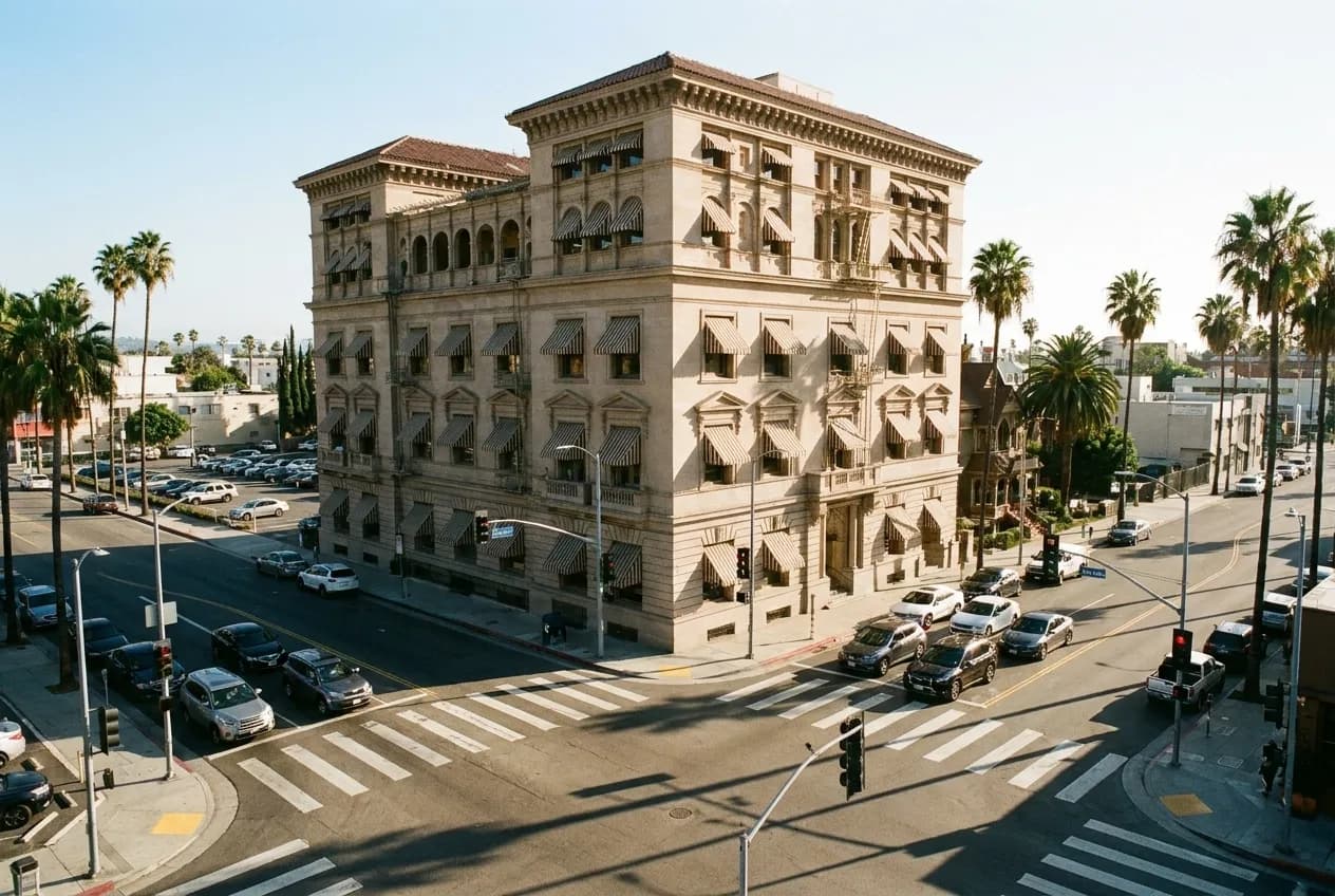
Planning Three Stops Without Doubling Back
Three stops is the practical maximum for a single boulevard run. More than that and you are either doubling back or spending more time parking than eating. The tactic is to space your stops four to six miles apart, which gives you three distinct cuisine zones and keeps the total drive under an hour. You move in one direction only, and you time each stop for when that segment of the boulevard is busiest.
Start with the earliest-opening segment. If you are working Pico west to east, that means kosher or Israeli breakfast west of La Brea between 8 and 9 a.m. Your second stop is mid-corridor, ideally between 11:30 a.m. and 1 p.m. when the lunch trade peaks. On Pico, that puts you in Koreatown for soft tofu or Korean-Chinese. Your third stop is the eastern end, timed for late lunch or early dinner, which on Pico means pupusas or tacos near downtown between 2 and 4 p.m.
The same rhythm works on other corridors. Sunset west to east means brunch in Silver Lake by 10 a.m., Thai in East Hollywood by 1 p.m., and Mexican seafood in Echo Park by 4 p.m. Vermont south from Los Feliz means Armenian lunch at noon, Koreatown soft tofu by 2 p.m., and Mexican near USC by 5 p.m. You are drafting off the natural traffic flow of the boulevard, eating when each segment is at peak energy, and never fighting your way back through a neighborhood you already passed.
The mistake is trying to park once and walk the whole corridor. LA boulevards are not pedestrian streets. The interesting blocks are separated by stretches of auto shops, mini-malls with vacant storefronts, and residential setbacks. You will walk a mile between clusters and spend more time on hot sidewalks than eating. The car is your tool. Use it to leap from node to node, and treat each stop as a separate destination with its own parking strategy.
What the Queue Is Actually Measuring
A line outside a restaurant on a Los Angeles boulevard almost never means the food is exceptional. It means the parking is bad, the interior is small, or the place went viral on social media within the past six months. The best cooking on any given corridor is usually two blocks off the boulevard on a side street, in a strip mall with fifteen open parking spots, with no line ever.
The queue is measuring convenience and visibility, not quality. The taco truck parked directly on Pico with a twenty-minute wait has the same supplier and sometimes the same cook as the truck one block south on a residential street with no wait at all. The pupuseria with the line is the one on the corner with the bright awning. The equally good pupuseria half a mile east with no awning and no line is where the Salvadoran families actually eat.
When you hit a queue, the correct move is to keep driving in the same direction for another mile. The cuisine cluster does not end at one intersection. It runs for three or four more blocks, and the second or third option is almost always open with a shorter wait. This is the advantage of boulevard thinking. You are not locked into one address. You are working a corridor, and the corridor has depth.
The habit to build is this: when you search for food, search for a boulevard first and a specific restaurant second. Pick your direction, identify the three intersections that mark your stops, and time each stop for when that segment is live. The boulevards are predictable. The neighborhoods inside them shift and churn, but the east-west and north-south grid stays constant, and the food clusters stay locked to the old commercial nodes. Once you learn to read one corridor, you can read them all.
Tags: #FoodNearMeLosAngeles #LABoulevards #LosAngelesFoodGuide #LAEats #LAFoodCorridor #PicoBoulevard #SunsetBoulevard #VermontAvenue #KoreatownLA #EchoParkEats #LAFoodClusters #LosAngelesNeighborhoods #LADining #LAFoodStrategy #CaliforniaEats
All trademarks are the property of their respective owners.
Ask Karpo first
Open the Karpo app before you leave to see which boulevards near you have the most options open right now, whether the tofu spot you want is slammed or empty, and which direction to drive so you hit each stop at peak service hours. Karpo builds the route live and adjusts when a place closes early or the line is forty minutes deep.