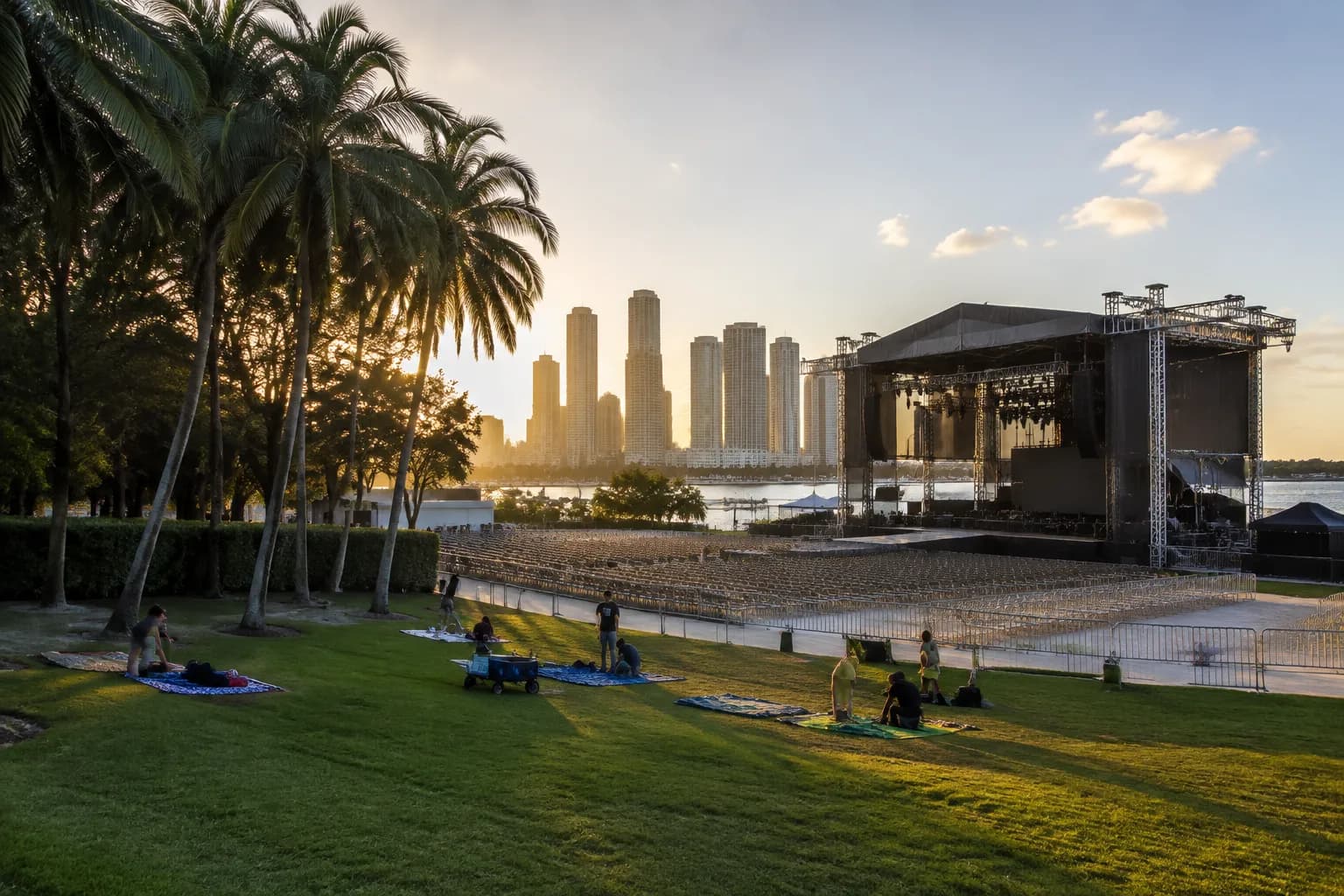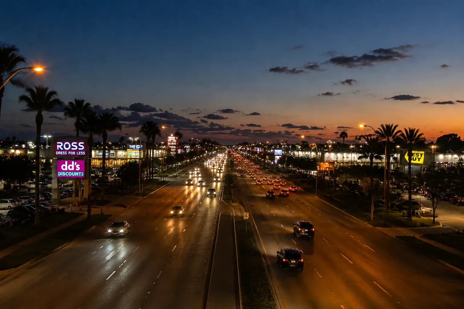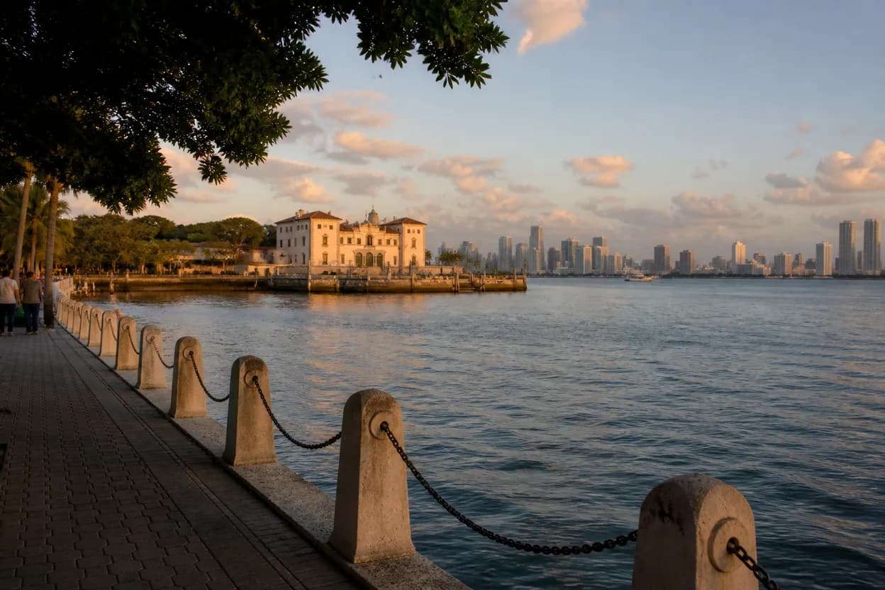
Miami can make “free” slippery: a beach view may be open while parking, transit, an attraction gate, or a special event changes the real cost. On Friday, August 7, 2026, the smarter economy move is not chasing a viral promise. It is building a public, flexible route from official pages: Greater Miami & Miami Beach for neighborhood, beach, culture, outdoor and webcam context, and Miami-Dade Transportation & Public Works for trip planning, rider alerts, service updates and real-time tracking. Treat every stop as conditional until you check it that day. The goal is simple: choose one strong public anchor, add a short walkable second stop, avoid overpacking, and keep a nearby backup if weather, crowds, or transit conditions change.
Want a Miami plan that stays free in practice, not just in the headline? Text Karpo before you go for a tighter route, official-page checks, and a realistic backup.

Turn current interest into a genuinely free outing
When economy searches are rising, Miami outing advice needs a budget test. Start by separating public scenery from paid programming. The official Greater Miami & Miami Beach site points visitors toward South Beach’s white-sand beach, arts and culture, outdoor activities, attractions, neighborhoods, and live webcams at locations including Ocean Drive, South Beach, Bayfront Park, Biscayne Bay and PortMiami, Calle Ocho, Lincoln Road, Sailboat Bay, Virginia Key Beach Park and Wynwood Walls. That is useful for planning, but it is not a blanket promise that every nearby museum, tour, venue, parking space, or event is free.
A genuinely free plan should be built around looking, walking, and checking conditions, not around assuming admission. Use the destination site to pick a neighborhood or waterfront area, then use official transit tools to see whether the route still works. If the day’s official page shows a promoted event, treat it as optional unless the official event listing confirms access terms that fit your budget.
Start with public access rather than a promoted event
The safest anchor is a place you can evaluate before leaving. Greater Miami & Miami Beach hosts live webcams for several recognizable public-facing areas, including Ocean Drive in the Art Deco District, 1st Street Beach, 21st Street Beach, 45th Street Beach, Bayfront Park, Biscayne Bay and PortMiami, Calle Ocho, Lincoln Road, Sailboat Bay, Sunny Isles Beach, Virginia Key Beach Park and Wynwood Walls. Use those views as a reality check for sky conditions, visible crowd pressure and general street or waterfront energy.
Do not confuse “what’s happening now” with a free itinerary. The official tourism page lists featured events and seasonal promotions such as Miami Spa Months, Miami Spice, August Events and Summer in Miami. Those listings can be helpful, but they may involve paid meals, ticketed performances, tours, limited capacity or changing conditions. For a free things to do plan, let the neighborhood be the attraction: South Beach for beach and Art Deco atmosphere, Downtown Miami for Bayfront and Biscayne Bay views, Little Havana’s Calle Ocho for cultural street life, or Lincoln Road for a pedestrian-style browse.
Build a short route around one strong anchor
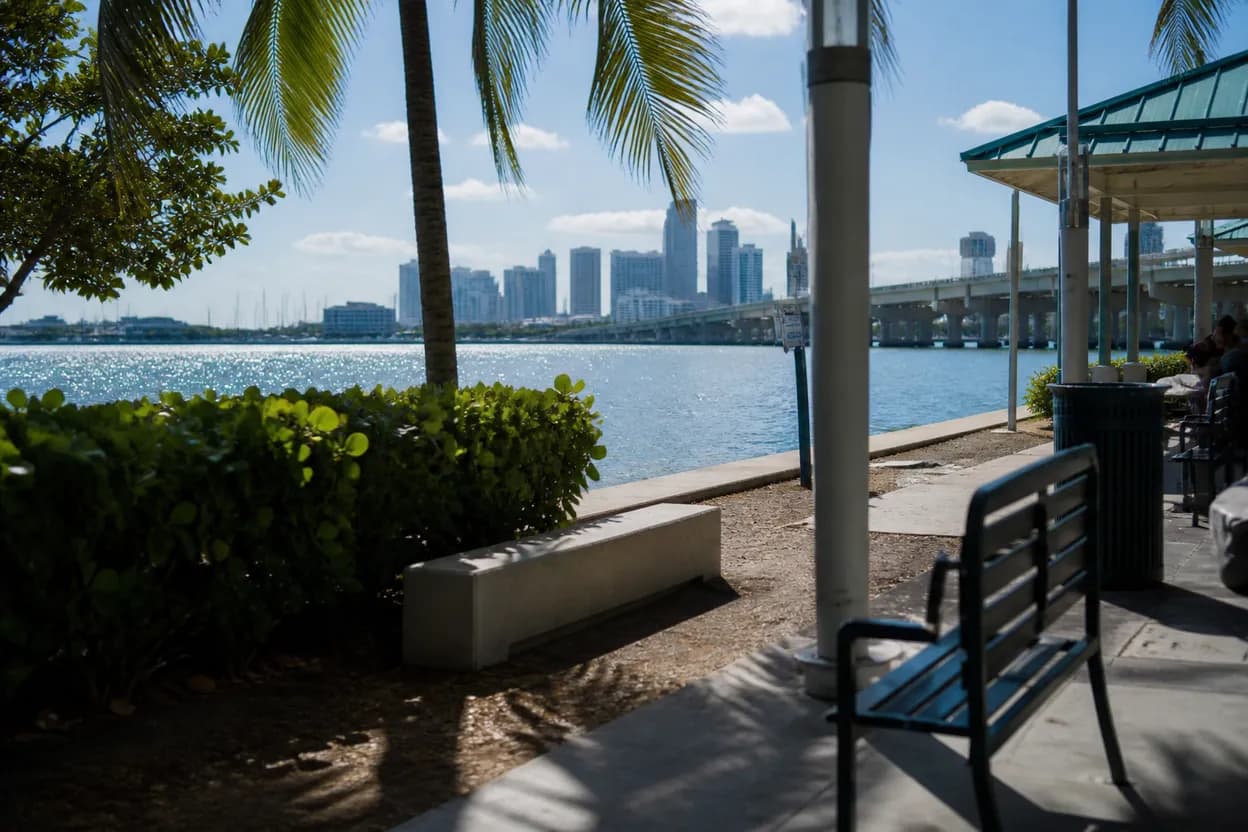
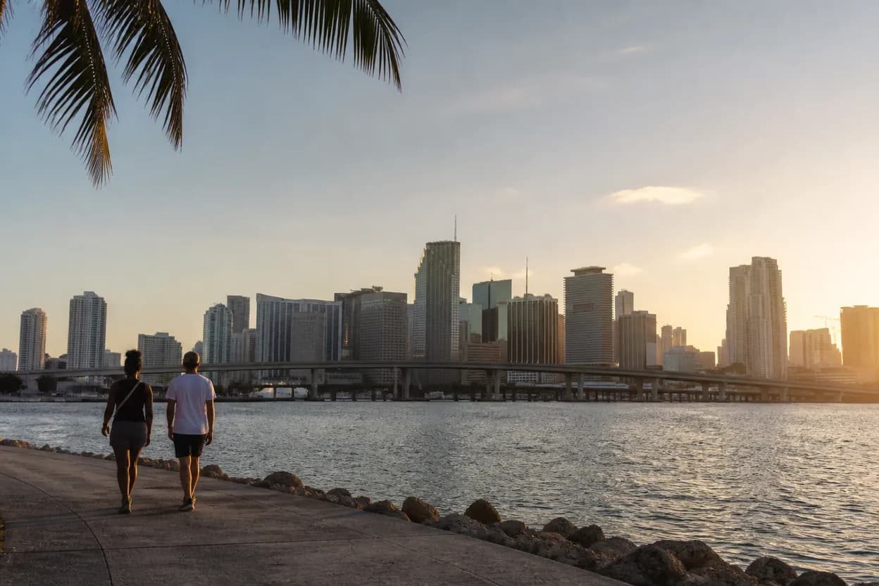
Choose one anchor first, then add only one nearby second stop. A South Beach version could start with an official webcam check of Ocean Drive or a beach camera, then continue with a walk that stays flexible around weather and crowds. A Downtown version could begin with Bayfront Park or Biscayne Bay and PortMiami camera checks, then use Miami-Dade Transit tools if you plan to connect by Metromover, Metrorail or Metrobus. A Little Havana version can begin with the Calle Ocho webcam and stay focused on public street-level atmosphere rather than paid add-ons.
Miami-Dade Transportation & Public Works says riders can read service updates and rider alerts, plan routes, and track buses and trains in real time. Use those tools before you commit. The same official page notes that Metromover is operating a modified Inner Loop, with trains running on the same track as Brickell and Omni Loop, and Inner Loop trains will not appear on the platform display; riders should look inside the train to confirm loop designation. That kind of detail matters more than a pretty map when you are trying to keep a short outing from turning into a long detour.
Use weather and crowd pressure as decision points
Miami rewards flexible timing. The official destination site describes Greater Miami & Miami Beach as a place of beaches, arts and culture, outdoor activities, natural attractions and neighborhoods, but it does not remove the need for a same-day conditions check. Before leaving, look at the relevant official webcam if one exists for your chosen area. If the view shows packed sidewalks, dark skies, heavy-looking beach traffic or an uncomfortable scene for your group, switch early rather than forcing the original plan.
Crowd risk is not only about comfort. It can change how much a “free” outing costs in time, rideshare demand, parking decisions, food pressure and fatigue. Keep the route short enough that leaving is easy. If South Beach looks too busy, consider a Downtown waterfront-oriented plan after checking Bayfront Park or Biscayne Bay views. If Downtown transit conditions look complicated, use the DTPW trip planner, service updates, rider alerts and transit tracker before boarding. The best free Miami plan is the one you can abandon without losing money.
Know when free still requires registration
Some Miami experiences may be public-facing, promotional, seasonal or listed on official pages, but that does not automatically mean walk-up access is free. The official tourism page includes event listings and categories such as arts and culture, music, tours and excursions, attractions and outdoor activities. Use those pages as leads, then verify each listing’s access requirements on the official event or venue page before you travel. If a page mentions reservations, capacity, tickets, guided tours, special meals or limited availability, do not treat it as a no-cost stop until the official listing says so.
Registration can also affect time. A free event with sign-up can be a poor choice if confirmation is unclear or if your group needs an easy exit. For this article’s verification-first route, public area observation is the default and events are a bonus only after confirmation. If you sign up for official newsletters or alerts, note that the tourism site states that newsletter sign-up involves agreeing to its Privacy Policy, while the transportation site offers transit alerts for service issues that could affect a commute.
Recheck access on the day
Your day-of checklist should take less than ten minutes. First, open the official Greater Miami & Miami Beach page and check the webcam closest to your anchor. Second, if using transit, open Miami-Dade Transportation & Public Works for rider alerts, service updates, the transit tracker and the trip planner. Third, if the route involves Metromover, remember the modified Inner Loop notice and confirm the loop designation inside the train rather than relying only on the platform display.
Then set a backup before leaving. For a South Beach plan, the backup might be changing from a beach-heavy walk to an Ocean Drive or Lincoln Road browse after checking official views. For Downtown, it might be shifting between Bayfront Park and Biscayne Bay viewpoints depending on conditions. For a culture-focused plan, Calle Ocho can be a street-level anchor, while any museum, tour, performance or attraction should be treated as separate and verified. Free in Miami works best when it is public, short, checked and easy to revise.
Tags: #Miami #FreeThingsToDo #AskKarpo #BeforeYouGo #SouthBeach #DowntownMiami #LittleHavana #LincolnRoad #BayfrontPark #MiamiBeach #MiamiTransit #BudgetTravel #OutdoorMiami #CultureMiami
Sources consulted: miamiandbeaches.com · miamidade.gov · miamidade.gov
All trademarks are the property of their respective owners.
Ask Karpo first
Ask Karpo first if your Miami plan depends on staying free. Share your starting point, preferred neighborhood, mobility needs and time window, and Karpo can help you compare official access checks, transit alerts, crowd risk and a practical backup before you leave.