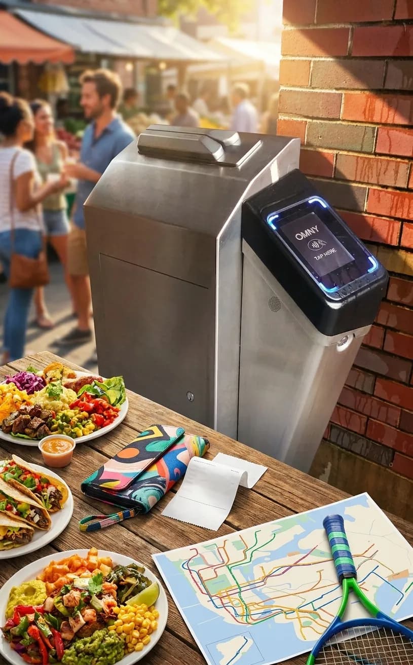
The phrase "ChatGPT down" reminds us how dependent we've become on instant digital answers for planning complex city days. But New York—and especially Queens—ran on analog intelligence long before smartphones, and those offline planning skills still work beautifully for events like the US Open. Whether you're visiting Flushing Meadows Corona Park for a single session or building a full tournament day across Queens, you can map every detail using paper resources, face-to-face conversations, and the kind of neighborhood knowledge that doesn't require a data connection. This approach isn't about nostalgia; it's about building a reliable backup plan that works when batteries die, signals drop, or you simply want to experience the city without a screen in your hand.
Text Karpo with your US Open session time and Queens starting point, and we’ll turn this offline city planning idea into a practical local plan.

Start with Paper: Official Maps and Printed Guides
The US Open publishes a detailed visitor guide and site map each year, available as PDFs you can print at home or pick up at Queens Public Library branches in the weeks before the tournament. Print the full A-Z guide, the prohibited-items list, and the transportation directions page—these three documents answer most logistical questions without requiring a single search query. Fold them into a small notebook along with a printed MTA subway map (available free at station booths) and a street map of Flushing and Corona. Mark your entry gate, your preferred food zones, and your backup exit route with a highlighter. This packet becomes your offline command center, immune to low battery or connectivity issues, and small enough to fit in a back pocket or small bag.
Library Research Stations: Queens Public Library as Planning Hub
Queens Public Library branches—especially Flushing, Central Library in Jamaica, and Corona—become unofficial US Open planning centers in the weeks before the tournament. Librarians can help you print maps, access transit schedules, and find neighborhood guides without requiring your own device. Many branches maintain bulletin boards with local event information, restaurant menus, and community updates that don't appear online. Spend an hour at a library table with a notebook, copying down key details: session times, gate opening information, nearest subway stops, and backup transit routes. Ask librarians for recommendations on nearby spots to eat before or after your session—they know the neighborhood in ways that algorithm-driven reviews never capture. This research session costs nothing, requires no login, and gives you a tangible reference you can share with your group.
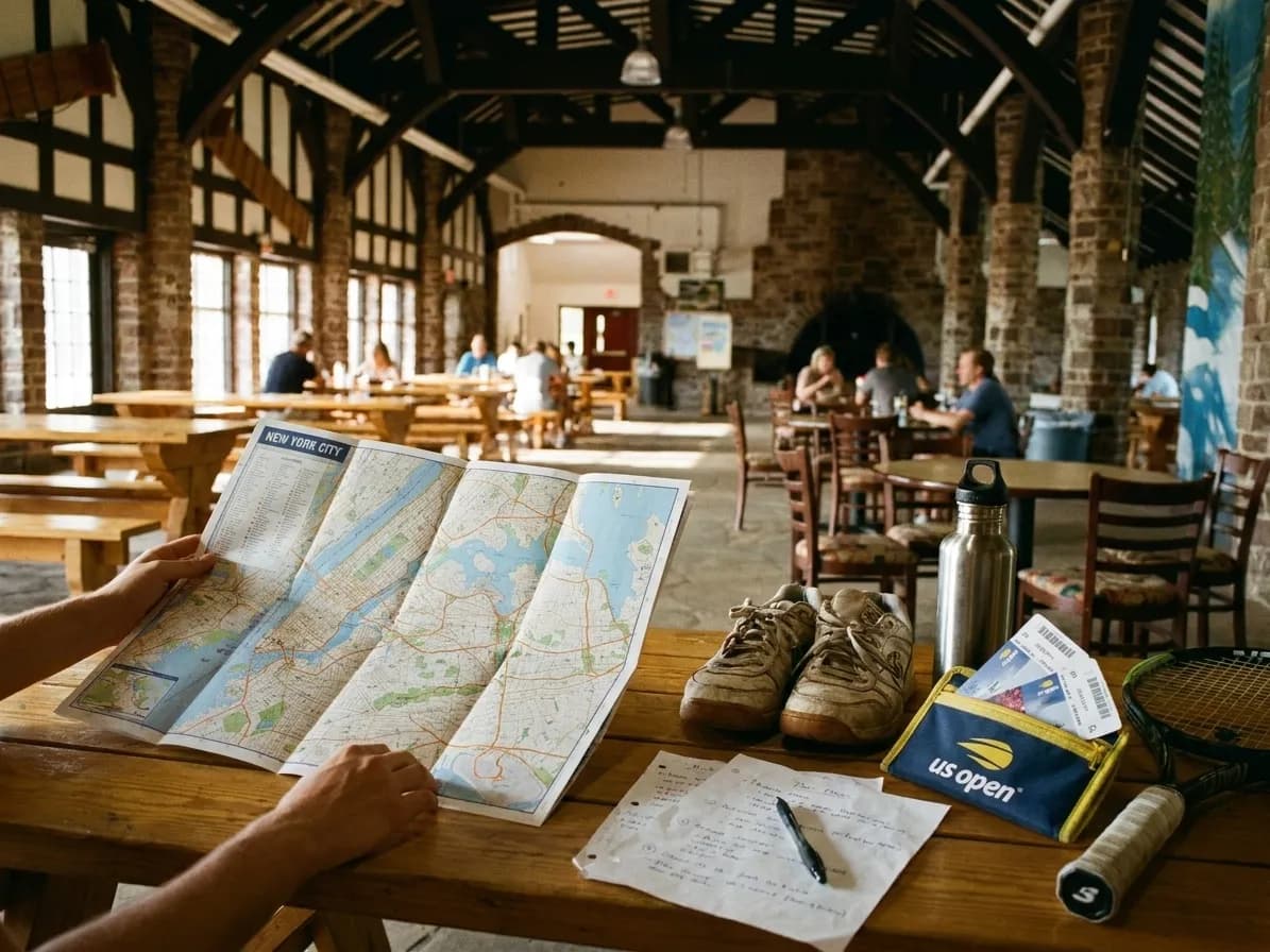
The 7 Train Corridor: Your Analog Navigation Spine
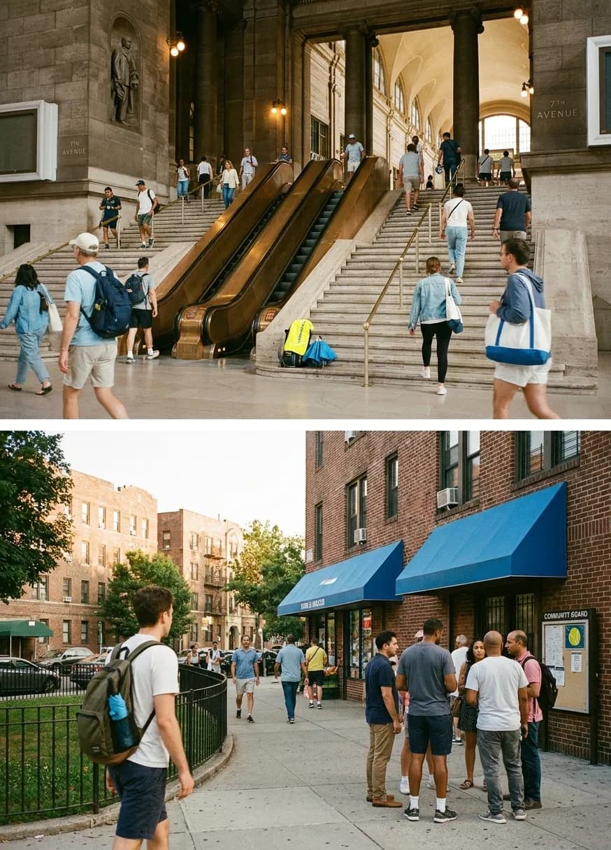
The 7 train connects Manhattan to Flushing Meadows Corona Park with stops that serve as natural planning landmarks: Queensboro Plaza, Junction Boulevard, 61st Street Woodside, and Mets-Willets Point. Each station has posted maps and service information that work without Wi-Fi. If you're planning a pre-tournament meal or post-match exploration, use the 7 line as your mental map: Jackson Heights for South Asian and Latin American food, Woodside for Filipino and Thai options, Flushing for Chinese and Korean dining. Write down the stop names and cross streets in your notebook, along with the general walking distance between stations and the park. This linear geography is easy to remember and navigate without a phone—just count stops and watch for station signs through the train windows.
Face-to-Face Intel: Asking Locals and Venue Staff
Tournament staff, park rangers, and neighborhood residents offer real-time information that no app can match. When you arrive at Mets-Willets Point station, ask the booth attendant about current service conditions or which exit leads most directly to your gate. At the US Open grounds, staff at information tents can mark your paper map with current wait times, shaded seating areas, or less-crowded food vendors. In Flushing or Corona, restaurant hosts and shopkeepers know which spots have short waits, which streets are quieter for a post-match walk, and where to find a good coffee before heading back to the train. These conversations take thirty seconds and often yield better guidance than scrolling through reviews. Carry a small notepad to jot down recommendations—writing by hand helps you remember details and gives you something to reference later without unlocking a screen.
Timing and Logistics: Building a Paper Schedule
Create a simple timeline in your notebook, working backward from your session start. Check the official US Open schedule for your session time, then note that gates typically open well before matches begin. Add buffer time for security lines, subway travel from your starting point, and potential delays. Write this schedule on a single page you can reference quickly, along with your backup plan if trains are delayed: alternative subway lines, bus routes, or a later arrival strategy. Include information about return transit options, plus one earlier option in case you want to leave before the session ends. This paper timeline doesn't require battery life or signal strength—it just works, every time you glance at the page. Verify all timing details with official US Open information and current MTA schedules before finalizing your plan.
Packing for Offline Success: What to Carry
Your offline planning kit should include printed route notes, a pen and small notebook, a watch, written hotel and emergency contact details, and a backup payment method that does not depend on one phone. Sign in to the official ticket flow before leaving and use an approved device-wallet option when it is offered, but follow the current ticket instructions rather than assuming a printed copy or screenshot will work. Review the official prohibited-items guide before packing, and carry a charged portable battery if it complies with current venue rules. The goal is to keep essential logistics available even when one app or network is not.
Reconfirm Before You Go: The Offline Final Check
A few days before your US Open visit, do one last round of offline research. Visit a library to check for any schedule changes, weather advisories, or transit alerts on official sources. Print fresh copies of any updated maps or guides. Confirm your session time and gate on your printed ticket. Check the MTA website or their information line for planned service changes on the 7 train. This final verification step ensures your paper plan reflects current conditions, so you're not navigating with outdated information. Once you've completed this check, your offline plan is complete—no last-minute digital scrambling required. Always verify hours, access policies, and current conditions for any venue or service you plan to use.
This offline approach transforms Queens into a readable city—one where subway stops become chapters, neighborhoods become reference points, and face-to-face conversations replace search queries. The 7 train corridor offers a simple mental map from Manhattan through Jackson Heights, Woodside, and Corona to Flushing Meadows, with each stop representing a decision point for food, rest, or exploration. Flushing Meadows Corona Park itself is large enough to require its own internal navigation strategy: use printed site maps to identify your gate, note landmarks like the Unisphere or Citi Field, and plan your walking route before you enter the grounds. The park's scale means that a wrong turn can add significant walking distance, so having a marked paper map prevents backtracking and confusion.
Beyond the tournament grounds, Queens rewards analog exploration in ways that digital planning often misses. A walk down Roosevelt Avenue after your match reveals street vendors, bakeries, and small restaurants that don't maintain websites or social media accounts. Flushing's downtown core around Main Street and Roosevelt offers layers of Chinese, Korean, and South Asian businesses where menus are posted in windows and recommendations come from the person standing next to you in line. Corona's park edges and residential blocks provide quiet spaces to decompress after hours in tournament crowds, with local delis and corner stores that operate on neighborhood rhythms rather than tourist schedules. These discoveries happen when you're navigating by landmarks and conversations rather than GPS pins, and they often become the most memorable parts of a US Open day.
The offline planning method also builds resilience into your day. If your phone dies, you still have your paper maps and written schedule. If subway service changes unexpectedly, you can ask station staff for alternatives rather than waiting for an app to load. If you want to extend your visit or change your route, you can make decisions based on what you see and hear around you rather than what an algorithm suggests. This flexibility is especially valuable during the US Open, when crowds, weather, and match schedules create constantly shifting conditions that no pre-loaded app can fully anticipate. Your paper toolkit adapts as easily as you do, and it never runs out of battery at the moment you need it most.
For groups, offline planning creates shared reference points that keep everyone aligned without constant phone checking. A single printed map can be marked up collaboratively, with different people highlighting their priorities and preferences. A written timeline can be reviewed together over breakfast, ensuring everyone knows the plan and the backup options. When you're navigating as a group through subway stations or tournament grounds, having one person hold the map and another watch the time creates natural roles that keep the group moving efficiently. This analog coordination often works better than everyone staring at their own screen, especially in crowded or noisy environments where verbal communication is easier than digital messaging.
The skills you develop through offline US Open planning transfer to other New York experiences. Learning to read subway maps, ask effective questions, and navigate by landmarks makes you more confident throughout the city. Understanding how to use library resources, print schedules, and build paper timelines creates a planning framework that works for any event or neighborhood exploration. And experiencing Queens without constant digital mediation often reveals details and connections that screen-focused navigation overlooks—the way neighborhoods transition from block to block, the rhythm of local businesses, the small parks and public spaces that don't appear on tourist maps. These observations build a richer mental model of the city, one that persists long after your US Open visit ends.
Tags: #USOpen2026 #Queens #FlushingMeadows #KarpoFinds #Karpo #chatgptdown #NewYorkLocal #TennisTravel
Sources consulted: usopen.org — Official event schedule · usopen.org — Official visitor A-Z guide · usopen.org — Official transportation directions · usopen.org — Official prohibited-items guide · Queens Public Library · MTA — Official service status
All trademarks are the property of their respective owners.