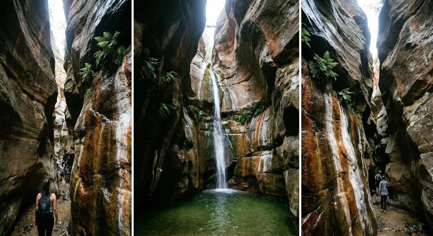
Anyone searching for waterfalls and nature near Los Angeles is going to find a lot of articles describing a landscape that no longer entirely exists. The fires of recent years closed several of the canyons this city has hiked for a century, some reopened only in the last year or so after major trail repairs, and at least one of the most popular waterfall hikes in the region remains closed indefinitely. Checking the current status is not a formality here; it is the first step.
Trail closures after fire and storm change month to month. Ask Karpo whether the canyon you are heading for is actually open.
What changed
The Eaton fire burned through the canyon above Pasadena that held the most popular waterfall hike in the county, and that canyon has been closed since. Burn scars destabilise slopes, and the standard sequence after a major fire is closure, a winter of debris flows, and then a slow programme of trail rebuilding that runs for years rather than months.
Other trails in the range have come back. A canyon park in the foothills to the east reopened in mid-2025 with its falls trail intact, and a historic trail up toward the observatory reopened in early 2026 after post-fire repairs. The pattern is uneven, which is exactly why a general article from three years ago is worse than useless.
Where the water actually is
Most waterfalls in this region are rain-fed and therefore seasonal — strong from December through April and reduced to nothing by late summer. Southern California's rainfall is concentrated in a short winter window, so the difference between a February and an August visit to the same canyon is the difference between a waterfall and a dry rock face.
The exceptions are the spring-fed falls, which run year-round from underground sources at a lower volume. There is at least one canyon park in the foothills whose falls run continuously thanks to an artesian spring, and those are the ones worth targeting in autumn. Asking what feeds a fall is a better question than asking where it is.
The trails worth planning around
The falls trail in the reopened foothill canyon park east of Pasadena is short — under two miles round trip with modest elevation — and the water runs all year, which makes it the most reliable waterfall walk in the region right now and a genuinely good option with children.
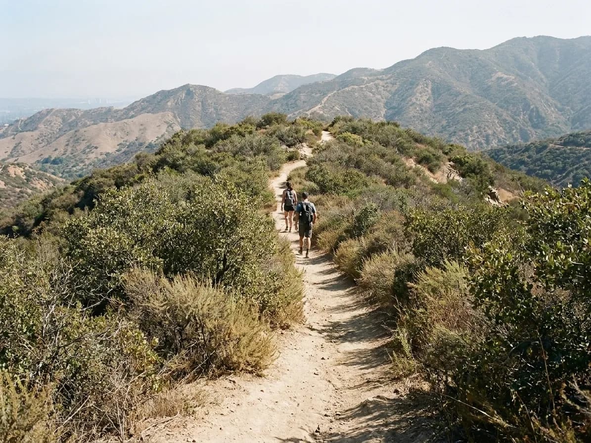
Off the highway that climbs into the national forest north of the city, a well-known falls hike runs about three and a half miles round trip with a few hundred metres of climb and a stream crossing or two. And out in the Malibu canyons, a tall multi-tiered fall at the head of a canyon park is one of the biggest in Southern California when it is running, which is a winter and spring proposition.
What these hikes are actually like
Not what people expect from the word waterfall. The terrain here is chaparral and exposed rock rather than forest — hot, dry, dusty, with limited shade and a lot of loose footing. The canyons themselves are cooler and greener, but you generally have to cross a sun-baked hillside to reach one.
That means water, a hat and proper shoes are not optional, and the heat is the main safety issue rather than the terrain. Summer afternoons in these canyons regularly exceed what people plan for, and the emergency call-outs in this range are overwhelmingly heat-related rather than fall-related.
Practical logistics
Adventure passes or parking permits are required at several trailheads in the national forest, and enforcement is real. Lots are small and fill by nine on a pleasant weekend. Mobile signal is absent in most canyons, so download the map before you leave the last bar of coverage.
Check the official land manager's page — the forest service, the county park department, the state park — rather than a trail app, which lags closures by weeks. And in the months after rain, check for debris-flow warnings in burn areas, which can close a trail at short notice for good reasons.
Going in the right season
The best months for these hikes are the ones nobody associates with California: January through March, when the water is running, the hills are green, the temperature is comfortable and the visibility after a storm is extraordinary. The wildflower window in March and April is the other high point and it draws crowds accordingly.
June through September is the worst combination — dry creeks, brown hillsides, high heat and smoke risk. Autumn is a reasonable compromise for the ridge walks and pointless for the falls. If you have flexibility about when to do this, waiting for winter is the single biggest improvement available.
If everything you wanted is closed
There is a large amount of non-waterfall hiking within an hour of this city that is entirely unaffected: the ridge trails in the Santa Monica Mountains, the coastal canyons, the state park at the western end of the range, the trails in the hills above the eastern valley. None of them have water in the autumn and all of them have the views, which is what most people are actually there for.
The honest advice is to separate the two goals. If you want a waterfall, go in February and go to a canyon that is open. If you want a hike, go any time and pick for the ridge line. Trying to have both in September is the reason so many people come back from these canyons disappointed.
Tags: #LosAngeles #Hiking #Waterfalls #AngelesNationalForest #Malibu #SantaMonicaMountains #DayTrip #NatureNearLA #HiddenGems #Outdoors #SoCal #TrailClosures #WeekendHike
All trademarks are the property of their respective owners.
Ask Karpo first
Ask Karpo which waterfall hikes near you are open right now, whether the water is running, and what the parking situation is at the trailhead.