

Your Guide Trades the Popular Trail for Quieter Cascades
A naturalist from a Gatlinburg guide service meets you at the park's main visitor center, then drives ahead of you to a trailhead ten minutes away. The walk starts on the cascade trail everyone takes and turns off it. Expect wet feet, downed trees and a steady climb.
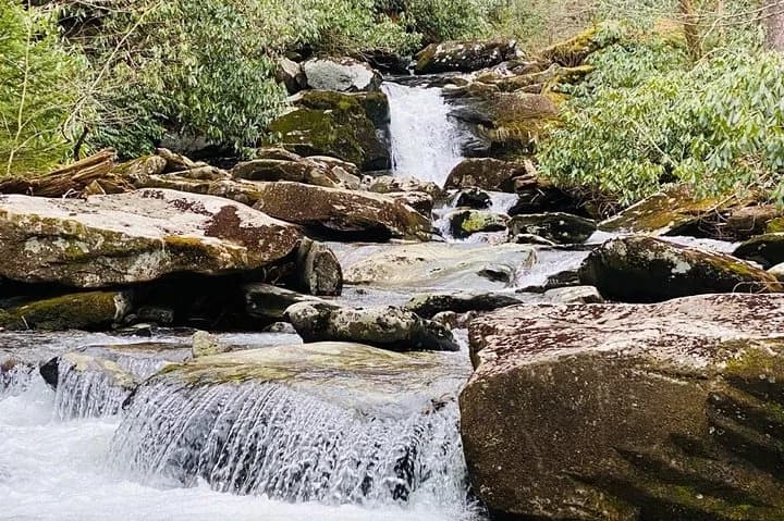
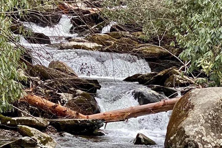
Water is the whole point of this one. The route follows a popular trail past several cascades and viewpoints, then turns onto a less traveled trail to reach more falls. Three hours, start to finish.
Your guide is a naturalist. A Walk in the Woods says a guide may point out wildflowers, stream ecology, salamanders, old growth trees and the forest details most people walk past. What gets named depends on the season and the day.
Walks are open to the public unless you call the office and arrange a private one. The company runs its day tours at eleven clients per guide, and one booking on this listing also tops out at eleven. The park draws the outer edge: its conditions for commercial guiding cap a day hiking group at twenty-four people including guides, and require a guide with every twelve or fewer.

Departures are listed by date and time on the booking page. 📍 The meeting point is Sugarlands Visitor Center, 1420 Fighting Creek Gap Road, just inside the park above Gatlinburg. Your guide leads from there to the trailhead in a separate vehicle and you follow in your own, about ten minutes.
The company does not meet anyone at its office, so do not drive there. It warns that GPS is unreliable in this part of the park and sends turn by turn directions with the confirmation. Save those directions offline before you drive in. One traveler wrote that they could not find the meeting point, had no phone reception in the park, and missed the walk.
 Chasing Waterfalls: A Smoky Mountain Guided HikeThree hours on foot with a naturalist guide. Snacks, fees and taxes included; drinks, transport and the park parking tag are not. Ages eight and up, up to eleven travelers on one booking.www.viator.com
What the Trail Asks of You
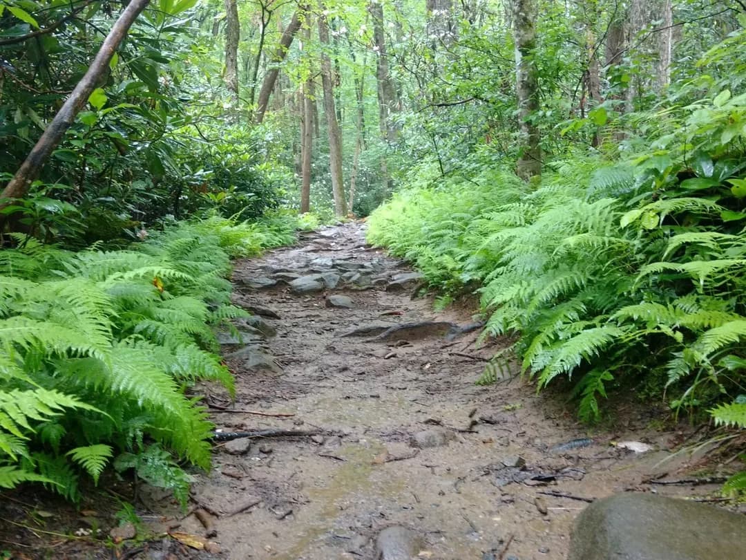
The company rates this one moderate: 2.5 miles with 900 feet of elevation change over three hours. The booking page puts the requirement plainly. You should be able to climb over downed trees, walk on uneven surfaces and gain elevation, and it asks for at least a moderate level of fitness.
It also names three groups it does not recommend the hike for: travelers with spinal injuries, pregnant travelers, and travelers with poor cardiovascular health. Children can come from age eight. Anyone under nineteen books on the child fare, and an adult has to be on the booking.
Feet get wet. The route crosses water and the booking page tells you to expect it, so bring shoes you are willing to soak and something dry for the drive home.
The Busy Half, Then the Quiet One
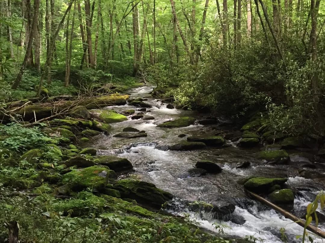
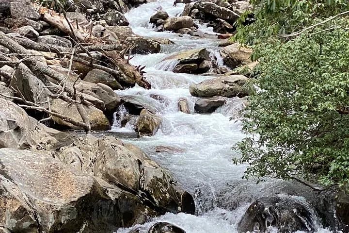
The first stretch is the part other people are on. Your guide works along it past several cascades and views, then turns onto a quieter trail that ends at more falls. The climb sits mostly in that first stretch.
The forest changes as you go. The company points to old growth pockets, and in spring to the wildflowers. This corner of the Smokies is a temperate rain forest, which is why the water keeps running and why the company hikes rain or shine.
Neither the booking page nor the company's own tour page names the trail or the falls. The booking page also reserves the right to change the route for road closures and other things outside its control. This page therefore does not promise a particular trail or a named waterfall.
Parking Tags and the Fifteen Minute Rule
Great Smoky Mountains National Park charges no entrance fee. It charges for parking, and that charge belongs to the park and is not part of what you paid for this walk. Any vehicle left longer than fifteen minutes anywhere in the park needs a parking tag, and your car sits at that trailhead for three hours.
Rates on the park's own fee page are USD 5 for a day, USD 15 for a week and USD 40 for a year. One tag covers one vehicle and has to carry that vehicle's plate number. A physical tag is required and a photo of one is not accepted. Buying a tag does not reserve you a space.
- Online in advance, printable for the daily and weekly tags
- In person at Sugarlands Visitor Center, which is where you are meeting anyway
- From a parking tag machine, year-round and around the clock, by card with no tap-to-pay; one sits at Sugarlands, and the park warns that most trailheads have none
The rate does not move with who you are: no resident or non-resident price, no age tier, and the park does not take an America the Beautiful, Senior, Access or Military pass in place of a tag. Two things do get you out of buying one, a state-issued disability placard or plate on the car and the park's fee-free days, when no tag is required at all. Otherwise this is the one park cost the booking does not cover: fees and taxes are included, and the parking tag is excluded by name.
What You Carry, and What Moves the Date
Snacks come with the walk. Drinks do not, and the booking page is blunt about it: bring plenty of water. The company's own packing guidance adds walking shoes or boots, a poncho or light rain gear, layers for the upper elevations and a day pack, and it offers to lend a day pack if you ask ahead. Travelers who have walked it add one thing to that list: they describe rocky, uneven footing and a dry boulder streambed, and several recommend a trekking pole and shoes with stiff soles and real grip. Guides carry emergency ponchos. Getting yourself to the trailhead is on you, since the group drives up in convoy.
Weather rarely stops this one. The company calls the Smokies a temperate rain forest and runs trips rain or shine, while keeping the right to call off a walk in hazardous conditions. Headcount is the likelier thing to move your date. One person can put a booking through, the hike needs two people to run, and a departure that falls short of that can be cancelled.
Gratuity is not included. The booking page points to fifteen to twenty percent of the tour cost while the company's own FAQ says ten to twenty. Bring cash for twenty percent so you are not caught short, and decide at the trailhead.
The walk ends at the trailhead rather than back at the visitor center, and the company's note is that you are then free to explore further or head out. Leave nothing visible in the car while you are gone; that is its one piece of trailhead advice.
Since you drove yourself up, the rest of the day is already arranged. Newfound Gap Road runs from Sugarlands up and over the ridge with pullouts most of the way, and the booking page lists it as scenery you pass rather than a stop. You will still be dressed for it.