
Where Urban Surface Meets Tidal Memory in Manhattan
Trace three waterfront markers from harbor edge to working pier, then read the city's flood memory in place.
📍 Three high-water traces
🌊 Harbor edge
Start at The Battery, where Lower Manhattan opens onto harbor air and broad lawns. The park's southern tip makes the waterline legible, while SeaGlass Carousel and perennial gardens show how recreation now occupies reclaimed edge. Walk the perimeter slowly and look for the city's layered shoreline. Begin at the harbor-facing path before the crowds thicken.

⚓ Working waterfront
Continue north to Pier 36 NYC, a 70,000-square-foot sports and entertainment facility beside the FDR Drive. Its scale turns flood memory into infrastructure: loading bays, hard edges, and open river views. The venue also launches boat tours, so pause outside and read the working shoreline before entering. Save this stop for clear weather when the water horizon carries furthest.

🛶 Red Hook reach
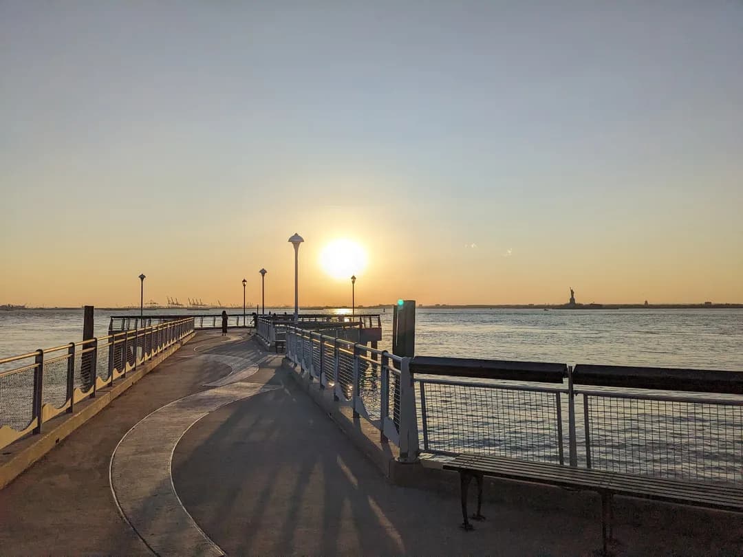
Finish at Louis Valentino, Jr. Park and Pier in Red Hook. The historic pier points straight toward the Statue of Liberty, with benches, a kayak launch, and a waterfront lawn that makes tidal change feel physical. Stay for the late light, then compare this open edge with the engineered piers downtown. Bring a layer for the exposed breeze because the river has no shelter.