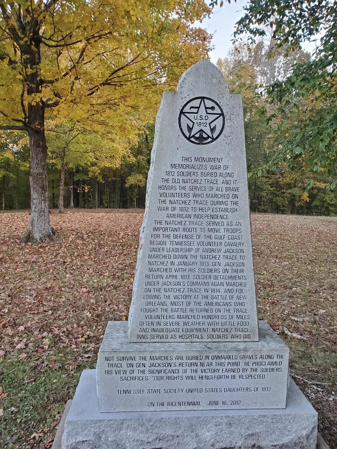
Tennessee Valley Divide Natchez Trace
4.8 (27)attraction
 4.8 (27)
A quiet Natchez Trace stop marking a historic watershed divide, offering wooded trail access and sunset views.
Description
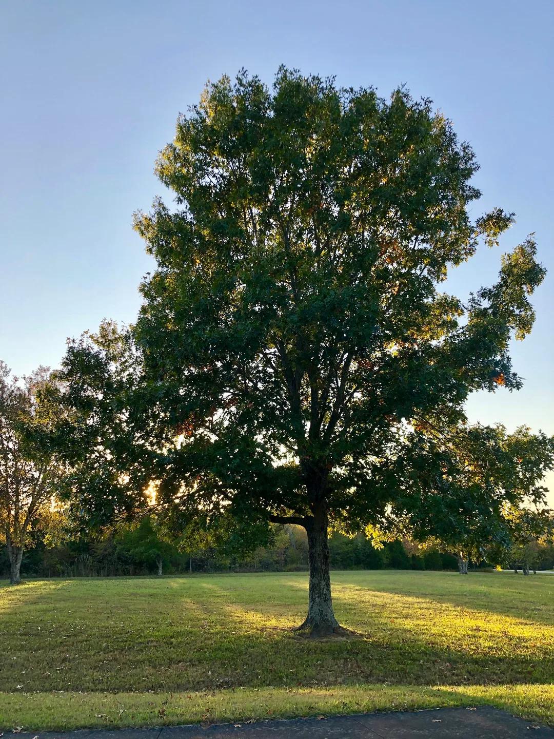

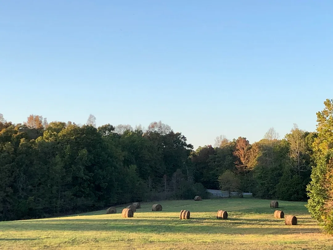


Sitting at milepost 423.9 along the Natchez Trace Parkway, this high ground marks a specific territorial line: when Tennessee joined the Union in 1796, the watershed formed the boundary between the States to the north and the Chickasaw Nation to the south. The surrounding parkway corridor remains free of commercial buildings and roadside structures, framed by trees and open terrain. Directly past the parking area, the stop intersects the Highland Rim Trail, connecting to a dedicated horse and hiking path that winds through the woods.
Good to know
Watch for cyclistsWatch for wildlife