
Rivermoor Urban Wild
5.0 (1)park
 5.0 (1)
A narrow strip of Charles River floodplain marsh in West Roxbury, buffering the shoreline from nearby industry.
Description
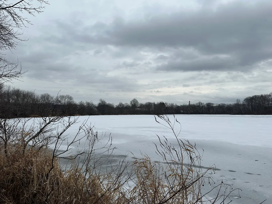


Covering 1.69 acres across two city-owned parcels, this strip of wetland connects directly with riverside holdings managed by the Army Corps of Engineers and the DCR. Along its northern edge, an embankment sloping down from Rivermoor Street marks the boundary where filled industrial ground drops toward the water.