3 Hours to Decode Sky Logistics in NYC
Begin at Floyd Bennett Field's historic aviation grounds, watch low arrivals at LaGuardia Landing Lights, then follow the JFK approach toward Laurelton West Playground. The route turns three public vantage points into a grounded look at how New York's sky lanes shape movement below.
Follow the working sky
Ground the idea
Begin at Floyd Bennett Field, New York City's first municipal airport and now a broad public park with historic hangars and RC flying. The old airfield makes a practical baseline for comparing small aircraft activity with the denser approach zones ahead. Pause near the aviation grounds to read the scale of the former runways before continuing toward Queens.
Catch the descent
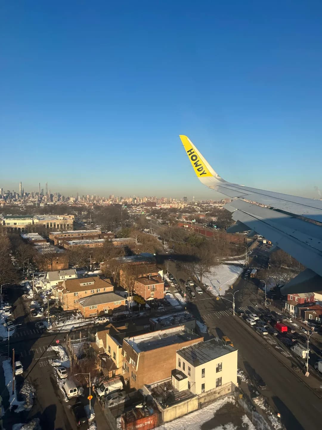
At LaGuardia Landing Lights, aircraft pass low over a small Queens park on final approach. The open sightline makes the corridor easy to follow from street level without entering the airport. Stand well inside the park and watch how each arrival repeats the same line, then note the short interval before the next plane.
Finish at the handoff
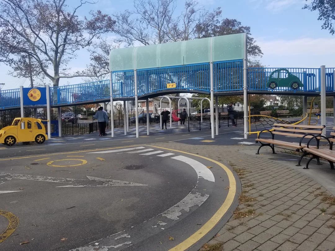
Finish at Laurelton West Playground, where planes bound for nearby JFK cross above an enclosed neighborhood play space. The view pairs ordinary street life with the repeated motion of a major airport approach. Choose a clear viewing spot away from active play areas and compare the spacing between arrivals while keeping the visit considerate for families.