
How to Find Map Ghosts Downtown Without Guessing
Follow three downtown corners where civic buildings, street lines, and buried ground expose different layers of the city. Each stop gives you a fixed point for comparing the present block with an older map.
Three coordinates to compare
Start at the curve
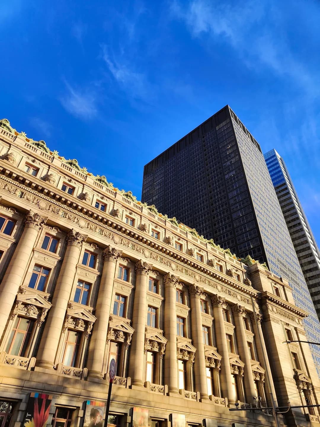
At Bowling Green, the Custom House fixes a 1907 landmark onto the city’s oldest civic ground. Its courtrooms and museum share one Beaux-Arts shell. Stand at the curb and align the rounded green with the building’s broad facade. The curve follows a place that predates the street grid, letting stone, traffic, and the small park occupy separate layers in one view.

Hold the steps
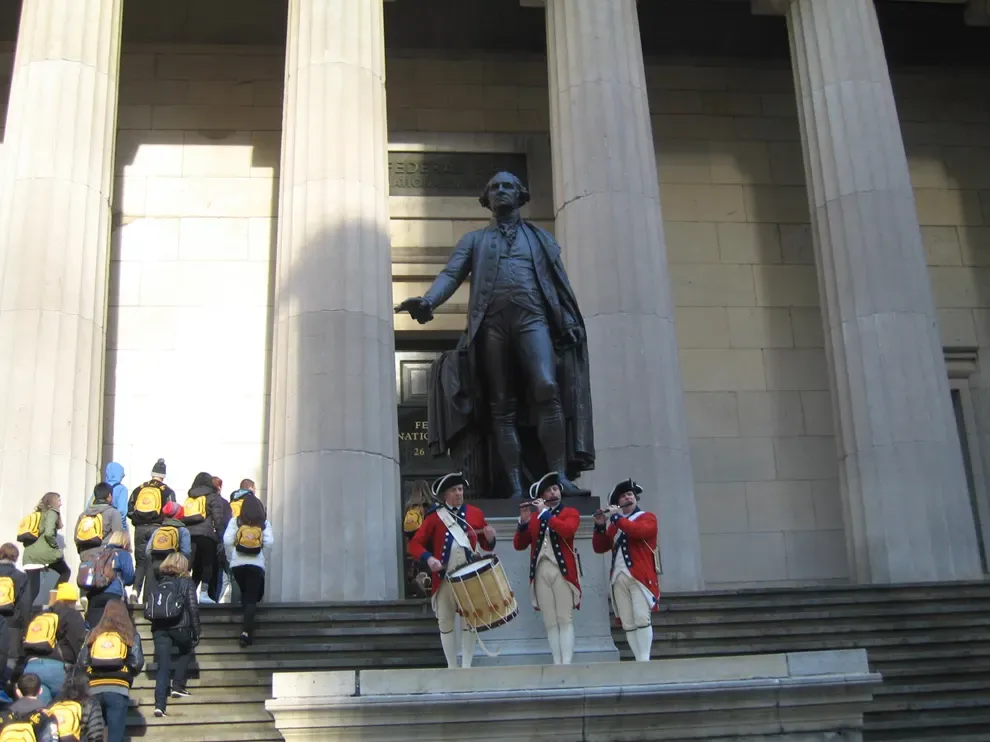
At Federal Hall, Pine and Wall Streets narrow around the site of the early national government. The present memorial faces the Stock Exchange across a dense canyon. Use the steps as your fixed point, then compare the crossing with an old street plan. The names around you survived while the institutions shifted, turning a short corner into a clean test of what stayed put.
Face the hidden ground
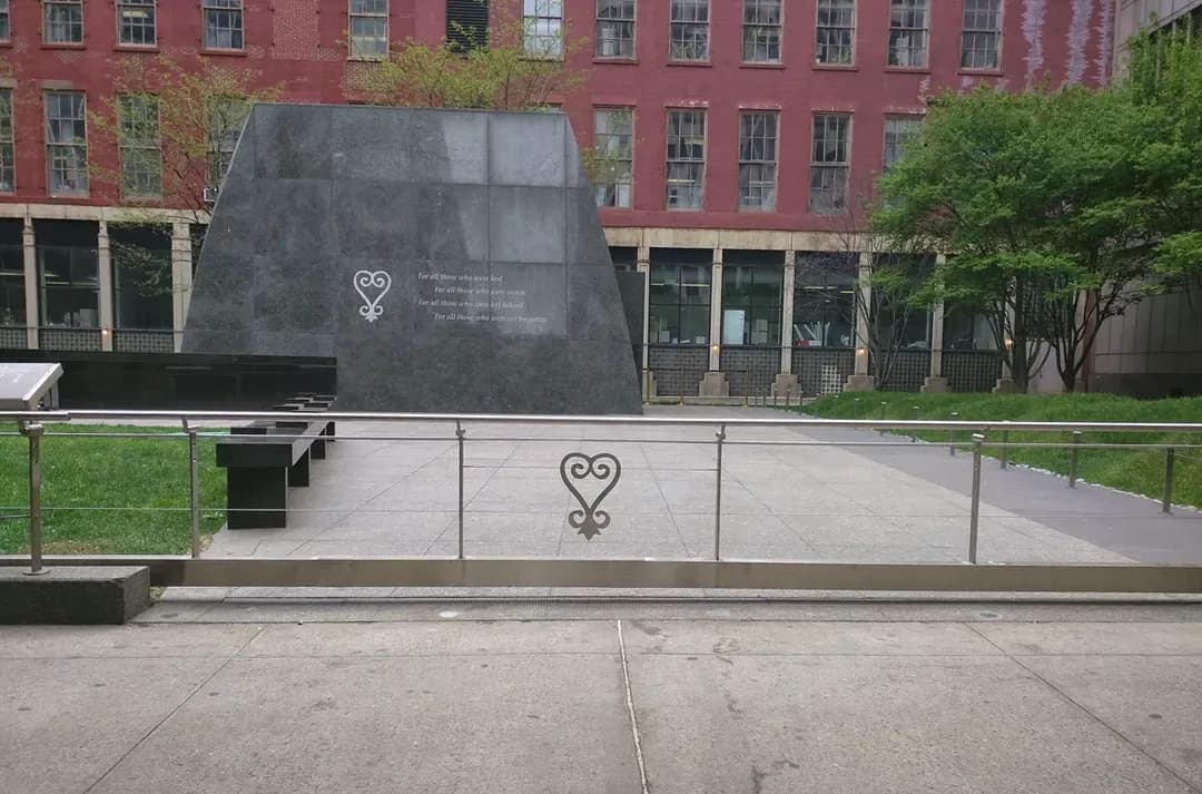
At 290 Broadway, the African Burial Ground marks a landscape hidden beneath later construction. The memorial recalls thousands of free and enslaved Africans buried here from the 1690s to 1794. Trace the monument’s edge against Broadway before looking up at the surrounding blocks. The contrast makes the missing ground visible without treating it as a curiosity, and closes the route with remembrance.