
High Water Mark at The Wharf DC
4.2 (6)attraction
 4.2 (6)
Color-coded buoys along the waterfront turn a century of flood records and future climate projections into public art.
Description
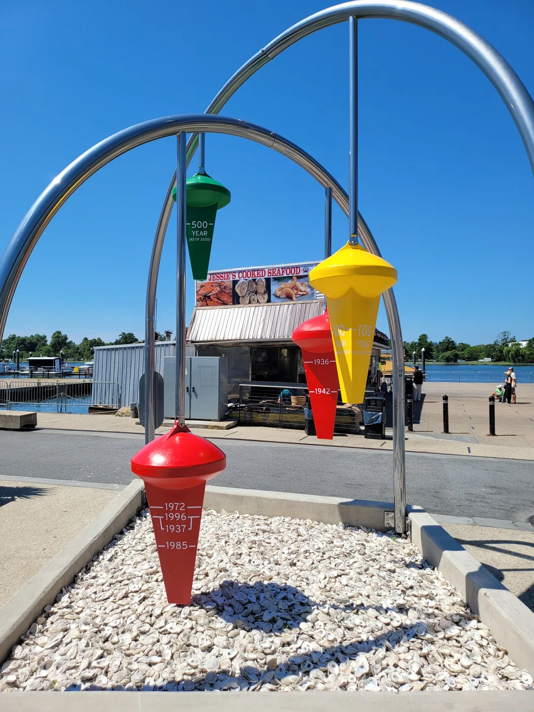


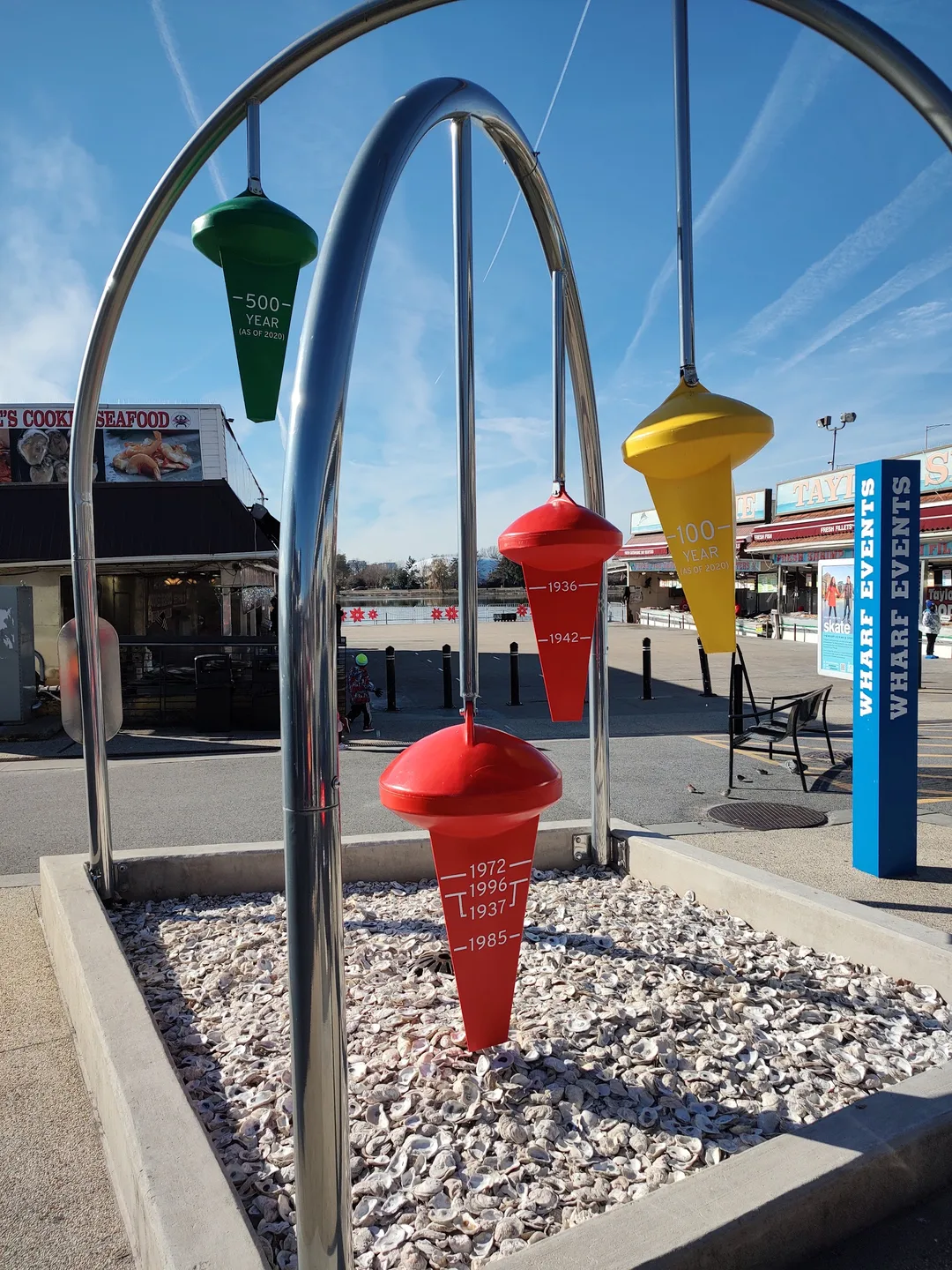
Designed by Hackreative with funding from DOEE and FEMA, the installation maps DC's floodplain data directly onto the waterfront. Red buoys chart the top five record floods between 1920 and 2020, showing the actual water heights reached over that century. Alongside the historical markers, a yellow buoy marks the projected 100-year floodplain, representing a 1% annual flood chance under 2020 calculations, while a green buoy indicates the 500-year floodplain at a 0.2% yearly probability. It functions as a quick, thought-provoking stop while walking along The Wharf.
