
A Streetwise Route Through Downtown Salt Systems
Three Lower Manhattan stops reveal how public plazas, recreation grounds, and utility-linked open space meet winter preparation. Follow the route to read stacked salt bags as small signals in the city's snow-and-ice system.
Three winter signals
Curbside Baseline
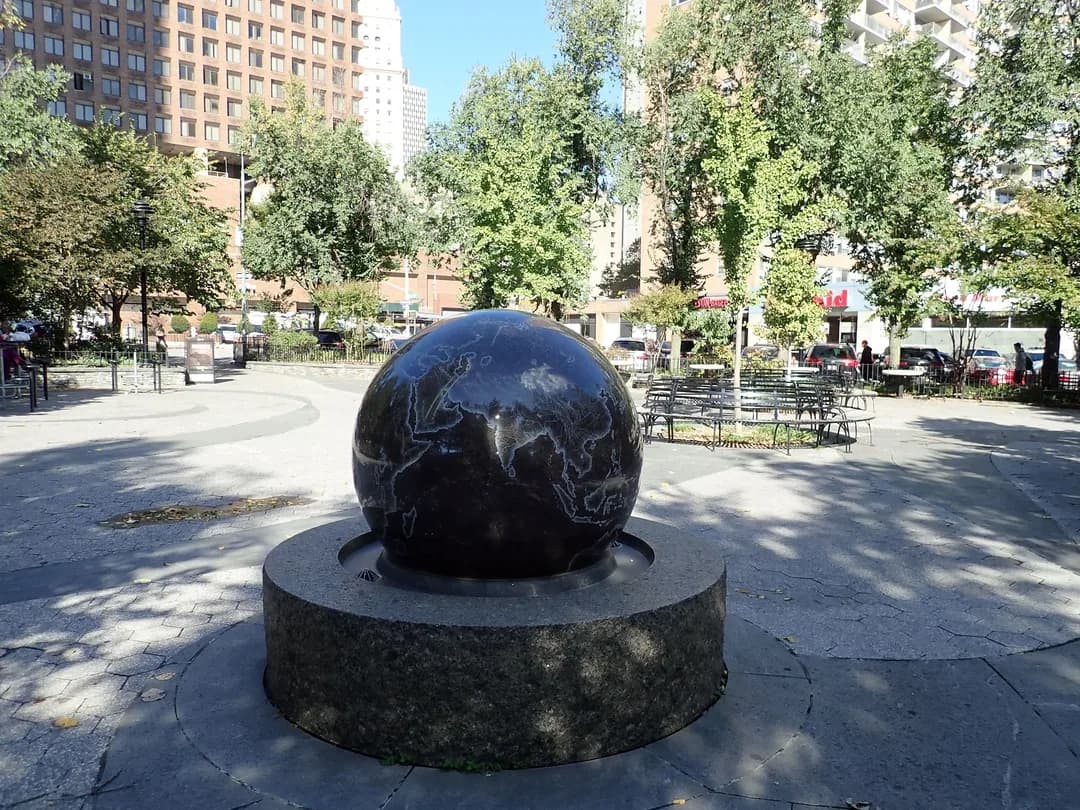
Start at James Madison Plaza, a 0.36-acre concrete triangle with seating and a central globe sculpture. Its compact footprint makes curb access and pedestrian flow easy to compare. Scan the surrounding corners for winter salt bags, then note how a supply stack can sit close to public space without becoming the attraction. Read the gap between storage and circulation. Keep to public paths and leave maintenance materials untouched.
Mid-Route Operations Lens
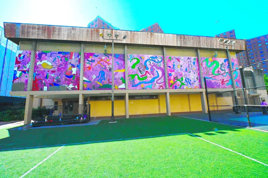
At Alfred E. Smith Recreation Center, indoor facilities, outdoor courts, and seasonal programs share one playground hub. Walk the Catherine Street edge and look for how a busy public site preserves service access. Salt bags are ordinary stock, yet their placement can show where crews expect to move quickly. Watch for the handoff from curb to walkway. Do not move or open any bag.
Subsurface Finale
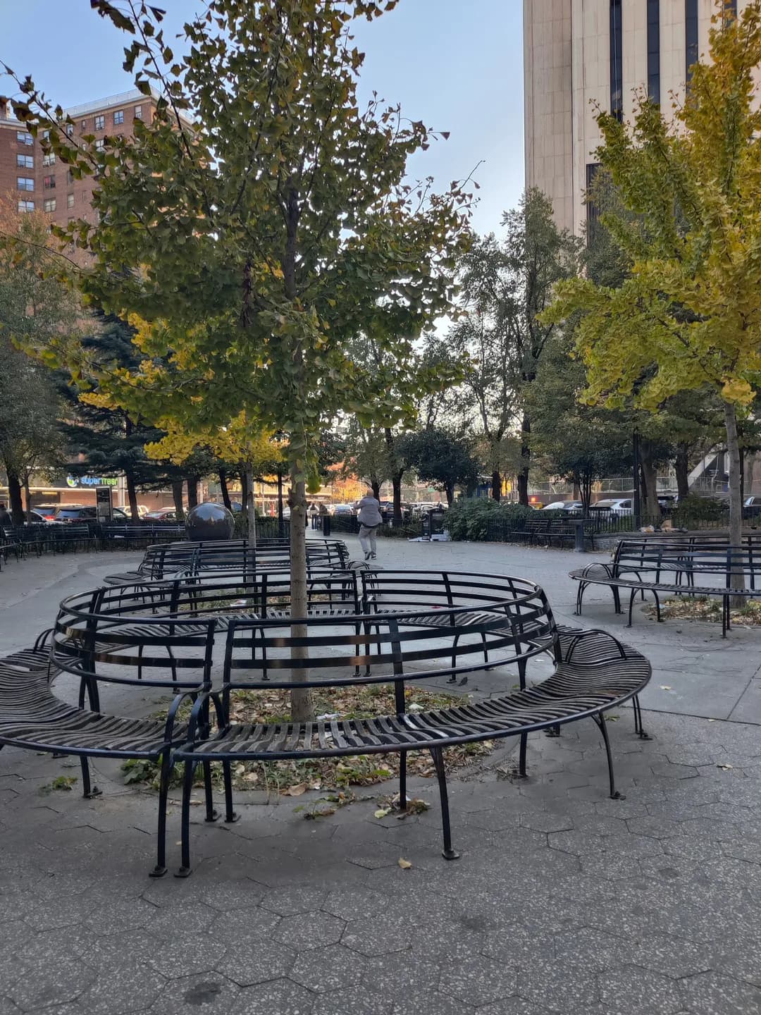
Finish at Manuel Plaza, built over an active DEP shaft site that still requires utility access. The tree-free layout and perimeter seating make its hidden infrastructure unusually legible. Look across the open surface and nearby corners for the final salt-bag staging point. Connect what sits above ground to the systems below. This last stop turns a simple pile into a clue about access, timing, and winter readiness.