
An Hour of Yoga on a Mountaintop Where Cows Graze
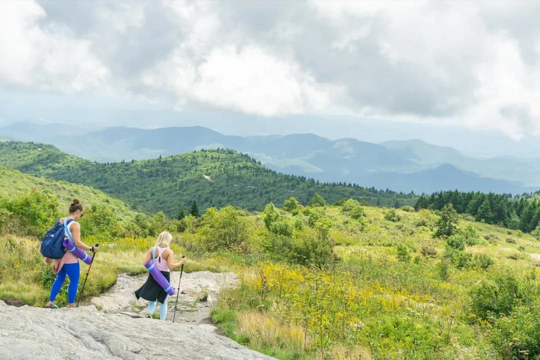
A guide meets you at a trailhead southeast of Asheville, hands out mats and carrying straps, and walks you a mile up to an open grass summit. The hour that follows is an all-levels class with the Blue Ridge in front of you and, often, cattle grazing around the edges. The drive to the trailhead is the part worth planning.
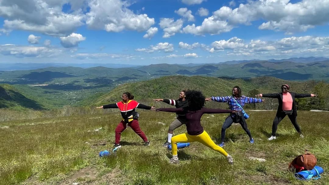
Bearwallow Mountain sits southeast of Asheville. Its trailhead carries a Hendersonville address, which is worth knowing before you set a destination and assume you are driving into town. The top of it is a bald: an open grass summit that never grew back into forest, with a long view over the Blue Ridge and no tree cover at all.
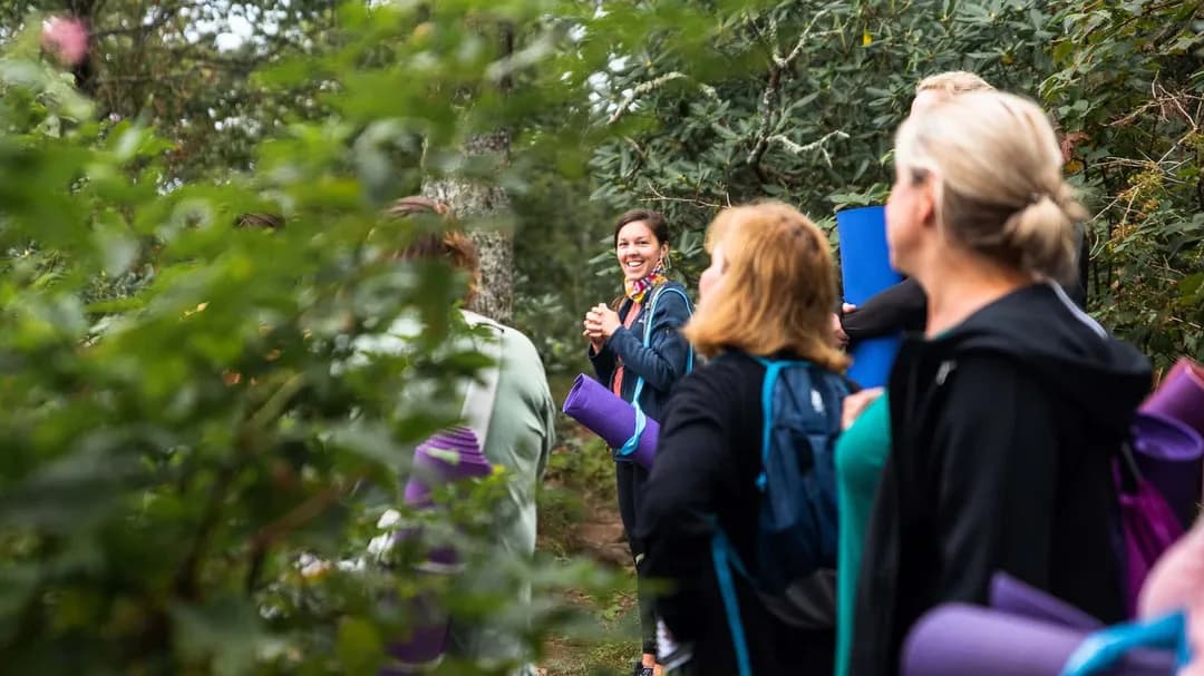
A guide meets you at the trailhead with mats and carrying straps. You walk a mile up, unroll on the grass, and spend the next hour in a class built for every level.
The walking is the easy part to plan for. The driving takes more thought.
Departures run Friday, Saturday and Sunday, at nine or ten in the morning. The listing runs year round. Booking closes forty-eight hours ahead of the start time, so this is not a same-day plan. Everything on this listing is final once booked: no refunds, no changes. Separately from that, the operator can still call off a departure for weather or for too few travelers.
 Mountaintop Yoga & Meditation Hike in AshevilleThree hours at Bearwallow Mountain with a guide: a two-mile round-trip hike and an hour of all-levels yoga on the summit. Yoga mat and carrying strap provided. Adults only.www.viator.com
The Drive Up Is the Part to Plan
Ask for the paved route when you book, and do not drive to the trailhead through Gerton.
The booking page carries the first of those warnings itself. Most navigation apps route you out of Asheville onto what the listing calls a bumpy, narrow, curvy gravel road, and it tells you to call the office if you would prefer a fully paved route. The second comes from Conserving Carolina, the land trust that holds the conservation easement on this mountain: it says the trail is open, that Bearwallow Mountain Road through Gerton is still restricted after Hurricane Helene, and it asks people not to drive through Gerton to reach this trailhead at all. The trailhead sits at Bearwallow Gap, where the road surface changes from gravel to pavement.
Only one of the hundred and six traveler reviews falls short of five stars, and the road is its subject. The operator's published reply says it now sends its warning twice before arrival, in the confirmation email and again twenty-four hours out. A traveler in 2024 described taking the longer paved way around and put the drive at about forty minutes. The listing itself says thirty. Allow forty.
Then there is parking. Conserving Carolina says there is space for only a few cars at the trailhead and asks hikers to carpool, and that vehicles left outside the designated area are towed at the owner's expense.
Two more things about getting there. The operator says you are responsible for your own transport to and from the trailhead, and that while a rideshare may drop you off, it will not collect you from there. And the group leaves no later than ten minutes after the start time.
What the Hour on Top Is Actually Like
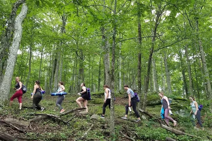
The climb is a mile of forest trail. It has switchbacks and a few stretches where steps have been cut into the earth, and the operator rates it easy to moderate, with the guide setting the pace to the group and stopping along the way. Travelers describe it both ways, from not strenuous at all through to moderately steep, which is roughly what a mile of sustained uphill does to a mixed group.
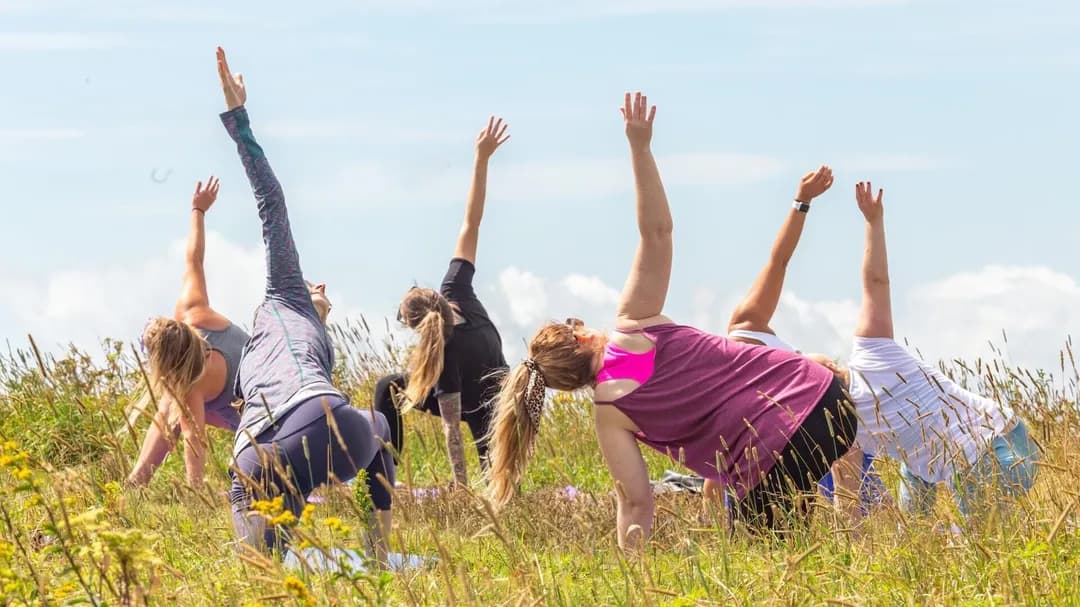
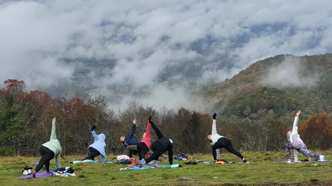
At the top the mats come off the straps. The class runs forty-five to sixty minutes and is built for people who have never done yoga. Guides hold at least a two-hundred-hour certification, by the operator's own account, and the session is meant to be modified as it goes.
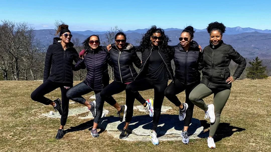
The way down is the second mile, on a forest road that completes the loop back to the parking area. Guides take photographs along the way. Travelers across several years describe receiving them by email afterwards, and the operator lists complimentary photos among what is included.
Cows, Sun, and Mountain Weather
That bald is also a working farm, and the grazing is not a figure of speech. Conserving Carolina, which holds the easement on the mountaintop, says the family that owns it still grazes cows up there, and its trail notes tell hikers they may see cows grazing on the summit. Travelers have written about meeting them in every year from 2019 through 2025, including one in 2025 who described making friends with them. Another, in 2023, noted there were no cows at the top that day. Count on the view. Count the cows as luck.
There is no shade on that summit, so sun protection matters year round, including the months when it does not feel like it. Bring a layer too. The operator notes that mountain temperatures can run ten to twenty degrees cooler than in town, which is the kind of gap that turns a pleasant morning into a cold hour of sitting still.
The hike goes rain or shine. The yoga is the part weather can take away, listed as weather permitting, and the operator says conditions sometimes stop the practice on the trail. Closed-toe shoes and a rain layer are both treated as essential, and the operator is blunt about avoiding cotton.
Who Can Book This One
This listing sells a single age band, adults eighteen and over. Nobody under eighteen can be added to this booking, whatever the family photographs suggest. The operator does run yoga hikes for families and for private groups, and those are arranged separately.
A few other limits worth knowing before you commit:
- Service animals are allowed. Other pets are welcome only on the operator's private hikes, not on this one.
- The listing asks for a moderate level of physical fitness and says it is not recommended for travelers with poor cardiovascular health.
- One booking takes up to fifteen travelers. The operator says it can accommodate groups as large as thirty with advance notice, which is a different arrangement from this one.
The operator says a percentage of every yoga hike goes to Conserving Carolina. The rest of that story sits on the land trust's own pages: the Lyda family owns this mountaintop and put a conservation easement on it, they chose to let hikers cross land that most easements keep private, and Conserving Carolina built the trail to the summit in 2011 with a local hiking club and volunteers and is responsible for seeing the easement's terms kept. A view like that would have sold as house lots. That is why the summit is still a meadow.
Pack the rain layer. Ask for the paved route. Plan on being back at the car around midday, with a camera roll you did not have to shoot yourself.